The best walks and hikes around Villiers-Saint-Denis
4.6
(92)
498
hikers
68
hikes
Hiking around Villiers-Saint-Denis offers access to diverse natural landscapes within the Aisne department. The terrain features the picturesque Marne River Valley, with trails following riverbanks through meadows, fields, and wooded areas. Hikers can explore routes winding through Champagne vineyards and shaded forest sections. The area's topography includes gentle inclines and declines, with elevations ranging from 69 to 201 meters.
Best hiking trails around Villiers-Saint-Denis
- The most popular hiking route is Hiking loop from Nanteuil - Saâcy, an 8.2 miles…
Last updated: July 5, 2026
5.0
(12)
65
hikers
14.9km
03:59
180m
180m
Moderate hike. Good fitness required. Easily-accessible paths. Suitable for all skill levels.
4.6
(7)
32
hikers
20.9km
05:39
270m
270m
Hard hike. Very good fitness required. Easily-accessible paths. Suitable for all skill levels.

Sign up for free
4.8
(4)
16
hikers
13.3km
03:46
290m
290m
Moderate hike. Good fitness required. Easily-accessible paths. Suitable for all skill levels.
5.0
(2)
12
hikers
6.50km
01:43
60m
60m
Easy hike. Great for any fitness level. Easily-accessible paths. Suitable for all skill levels.
5.0
(2)
12
hikers
26.7km
07:30
550m
550m
Hard hike. Very good fitness required. Easily-accessible paths. Suitable for all skill levels.
Get access to more routes and recommendations from other explorers.
Sign up for free
Already have an account?
Our route recommendations are based on thousands of hikes, rides, and runs completed by other people on komoot.
Start today with a free account
Your next adventure awaits.
Login or Signup
Tips from the Community

picnic areas at the intersection of Route de Monthis with observation table, then Rue de Montdorin at the entrance to Charly
0
0

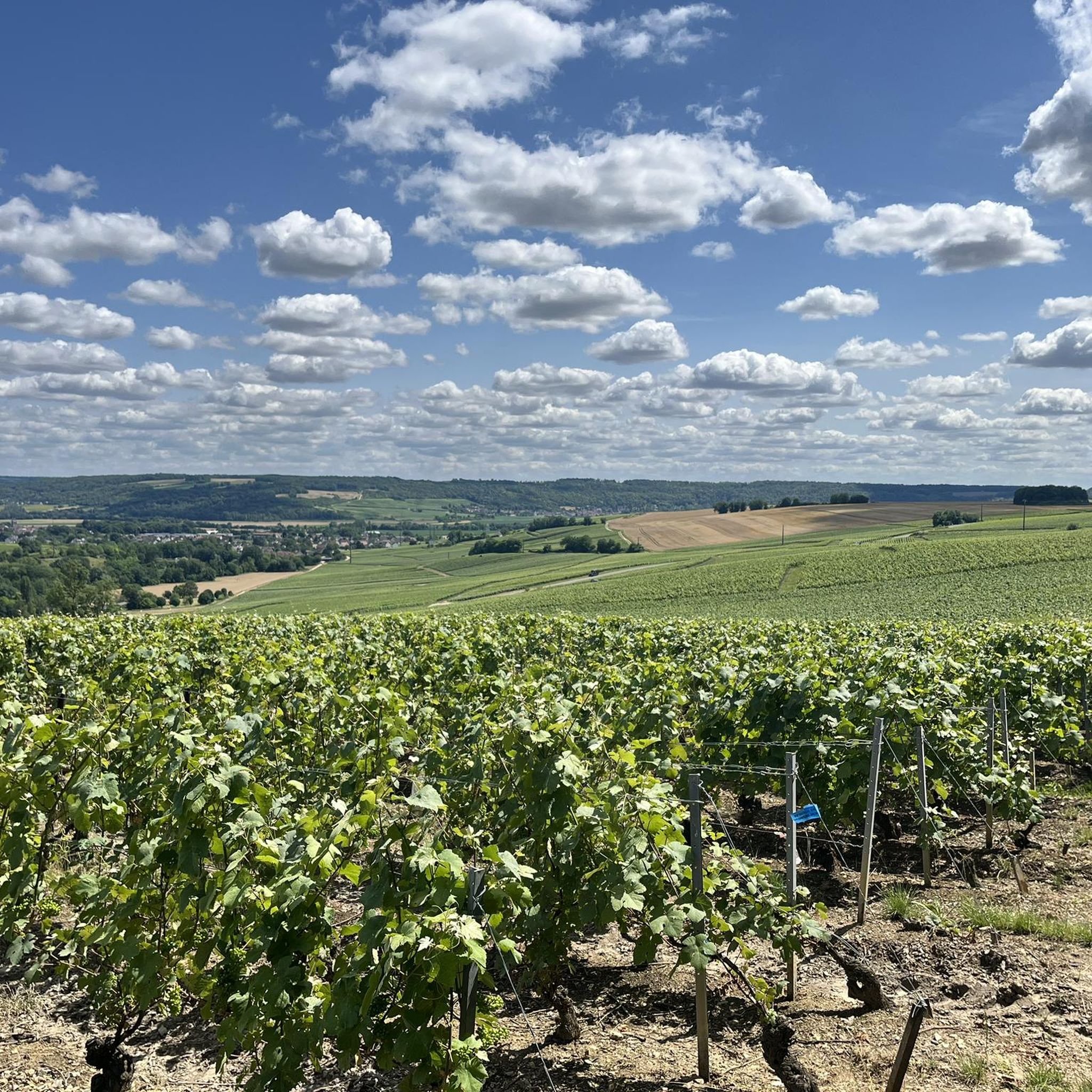
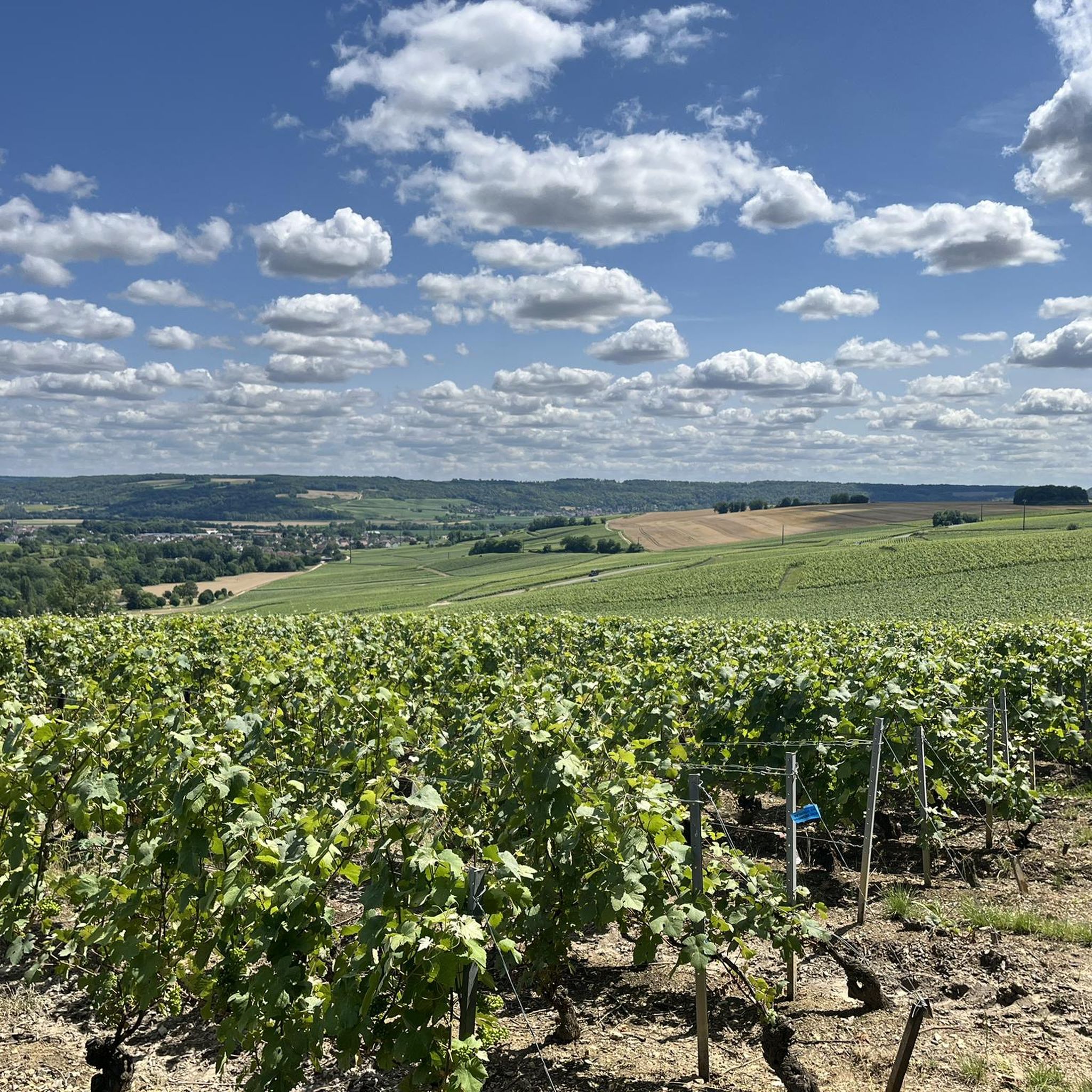
Very beautiful panorama over the valley.
0
0

8 km sparkling walk, very nice to do
0
0

Charly, a former 15th century fortified town in Burgundy, was renamed Charly-sur-Marne in 2006. You will find many beautiful residences there, including the Château de Charly Sur Marne.
0
0
Nice view of the landscapes of the Aisne and the vineyards of Nanteuil.
0
0
Frequently Asked Questions
How many hiking trails are available around Villiers-Saint-Denis?
There are over 50 hiking routes documented around Villiers-Saint-Denis on komoot. These trails explore the diverse landscapes of the Marne River Valley, vineyards, and local forests, offering a variety of experiences for outdoor enthusiasts.
What kind of terrain can I expect on hikes near Villiers-Saint-Denis?
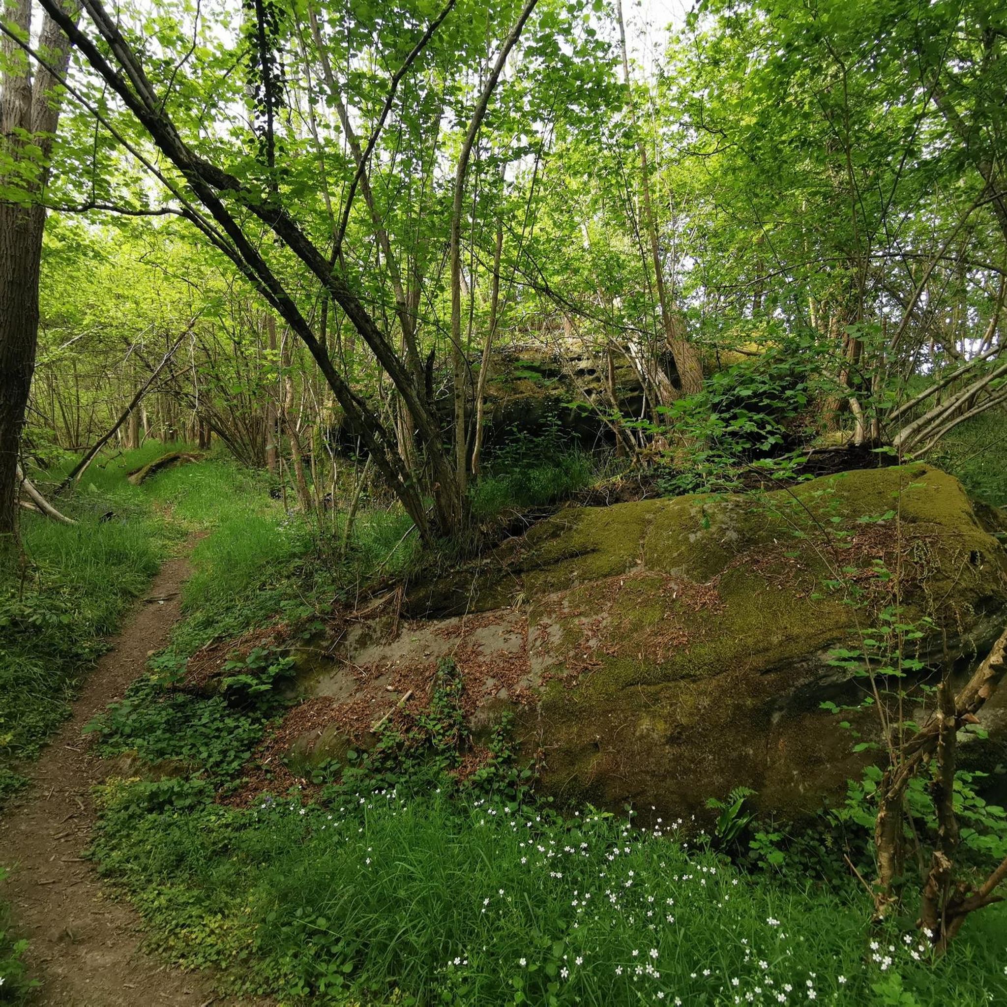
Hikes around Villiers-Saint-Denis feature varied terrain, including picturesque riverbanks along the Marne, winding paths through vineyards, and shaded sections within local forests. You'll also find routes that incorporate historical elements like the Dhuys Aqueduct. The topography generally includes gentle inclines and declines, with elevations ranging from 69 to 201 meters.
Are there hiking options for all skill levels?
Yes, the area offers trails suitable for various fitness levels. You can find easy walks, moderate paths, and more challenging routes. For example, the Vineyard walks loop from Charly-sur-Marne is an easy option, while the Hiking loop from Nanteuil - Saâcy is considered moderate, and the Saint Martin Church loop from Nanteuil - Saâcy is a more difficult trail.
What do other hikers say about the trails in Villiers-Saint-Denis?
The hiking routes around Villiers-Saint-Denis are highly regarded by the komoot community, with an average rating of 4.6 stars from over 60 reviews. Hikers often praise the scenic beauty of the Marne Valley, the charm of the vineyards, and the peaceful atmosphere of the wooded paths.
Are there any notable landmarks or viewpoints along the hiking trails?
Yes, several interesting points can be explored. You might encounter natural features like Mount Bonneil or enjoy panoramic views from the Sainte-Aulde viewpoint. Historical monuments such as the American Monument of Côte 204 are also accessible near some routes.
Are there any circular hiking routes available?
Yes, many of the trails around Villiers-Saint-Denis are designed as loops, allowing you to start and end at the same point. Examples include the Saint Martin Church loop from Crouttes-sur-Marne and the Saint Martin Church loop from Charly-sur-Marne, which offer diverse scenery without needing a return trip.
Is Villiers-Saint-Denis a good destination for family-friendly hikes?
The area offers several easy and moderate routes that are suitable for families. The gentle topography and varied landscapes, including vineyards and riverbanks, provide engaging environments for children. Shorter, less strenuous loops like the Vineyard walks loop from Charly-sur-Marne are often good choices for families.
Can I bring my dog on the hiking trails?
Many trails in the Villiers-Saint-Denis region are dog-friendly, allowing you to enjoy the outdoors with your canine companion. However, it's always recommended to keep dogs on a leash, especially when passing through agricultural areas, near livestock, or in protected natural spaces. Always check local signage for specific regulations.
What is the best time of year to go hiking in Villiers-Saint-Denis?
The region is enjoyable for hiking throughout much of the year. Spring and autumn offer pleasant temperatures and beautiful scenery, with blooming wildflowers or vibrant fall foliage. Summer can be warm, but many routes include shaded forest sections. Winter hikes are also possible, though conditions may vary.
Are there public transport options to reach the hiking areas?
While Villiers-Saint-Denis itself is a rural commune, some hiking routes are accessible from nearby towns that may have public transport connections. For example, routes starting or passing through Saâcy-sur-Marne, Nanteuil-sur-Marne, or Charly-sur-Marne might be reachable via regional services. It's advisable to check local bus or train schedules for these specific towns.
Where can I find parking for hiking trails?
Parking is generally available in the villages and towns where many of the trails begin, such as Saâcy-sur-Marne, Nanteuil-sur-Marne, or Charly-sur-Marne. Look for designated parking areas near trailheads or in village centers. As Villiers-Saint-Denis is a rural area, specific trailside parking might be limited, so planning your starting point in a nearby commune is often a good strategy.
Are there any places to eat or stay near the hiking trails?
Villiers-Saint-Denis itself is a rural commune with limited amenities. However, nearby towns like Saâcy-sur-Marne, Nanteuil-sur-Marne, or Charly-sur-Marne offer a selection of cafes, restaurants, and accommodation options. These towns serve as good bases for exploring the surrounding hiking trails and provide opportunities for refreshments after your walk.
Most popular routes around Villiers-Saint-Denis
Most popular attractions around Villiers-Saint-Denis

Get inspired with the komoot mobile app


Explore more
Browse the best Hikes in other regions.
