The best running trails around Villers-Le-Rond
4.6
(20)
816
runners
88
runs
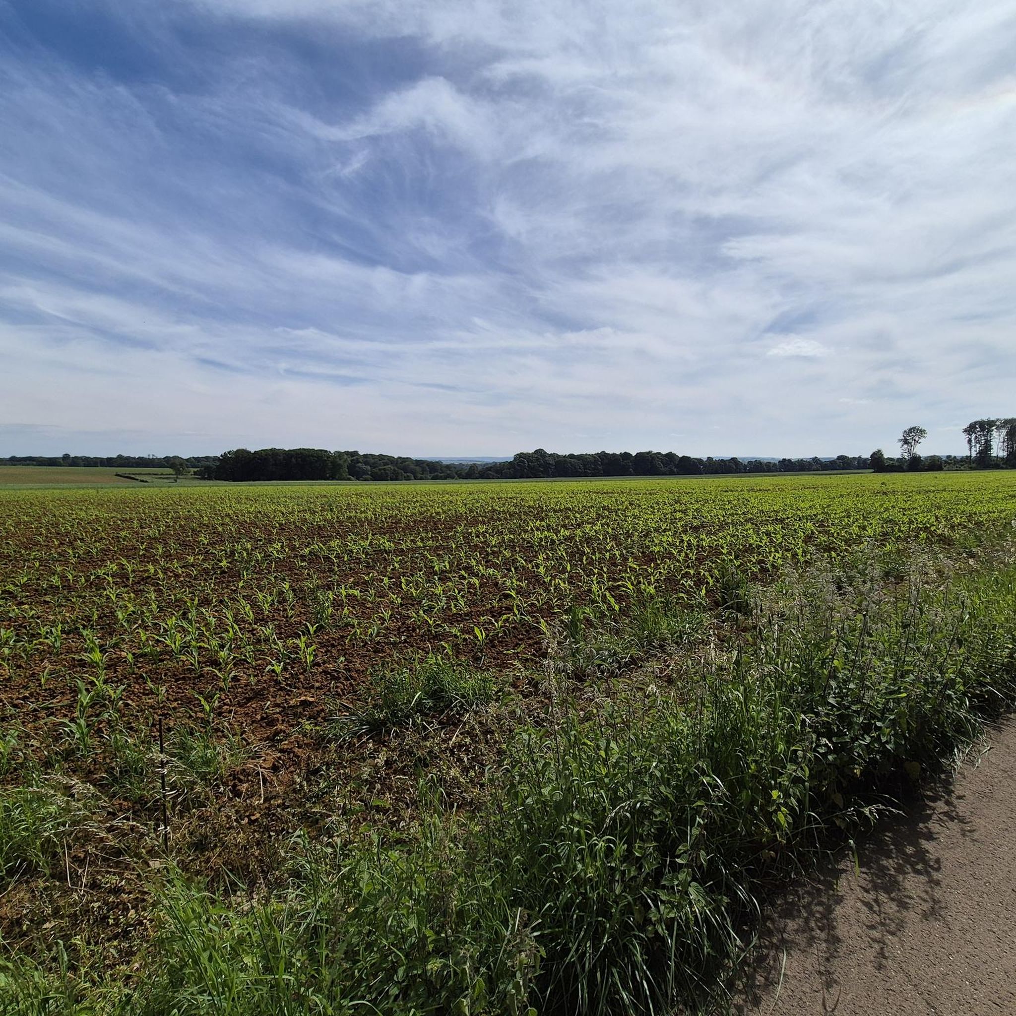
Jogging routes Villers-Le-Rond are situated within a rural plateau environment, with elevations ranging from 196 to 316 meters, providing varied terrain for runners. The region is characterized by a mix of gentle slopes and inclines, nestled between the Chiers and Othain river valleys. Located within the Lorraine Regional Natural Park, the area offers extensive marked paths through agricultural plateaus, forest valleys, and wetland prairies.
Best jogging routes around Villers-Le-Rond
- The most popular jogging route is Old Buré Forge loop from…
Last updated: July 5, 2026
24
runners
8.64km
01:04
170m
170m
Moderate run. Good fitness required. Mostly paved surfaces. Suitable for all skill levels.
4.0
(1)
5
runners
5.47km
00:37
120m
120m
Moderate run. Good fitness required. Mostly paved surfaces. Suitable for all skill levels.

Sign up for free
4.0
(1)
5
runners
11.3km
01:16
260m
260m
Moderate run. Good fitness required. Mostly paved surfaces. Suitable for all skill levels.
11
runners
4.10km
00:28
40m
40m
Easy run. Great for any fitness level. Mostly paved surfaces. Suitable for all skill levels.
5
runners
Moderate run. Good fitness required. Mostly paved surfaces. Suitable for all skill levels.
Get access to more routes and recommendations from other explorers.
Sign up for free
Already have an account?
Our route recommendations are based on thousands of hikes, rides, and runs completed by other people on komoot.
Start today with a free account
Your next adventure awaits.
Login or Signup

Tips from the Community

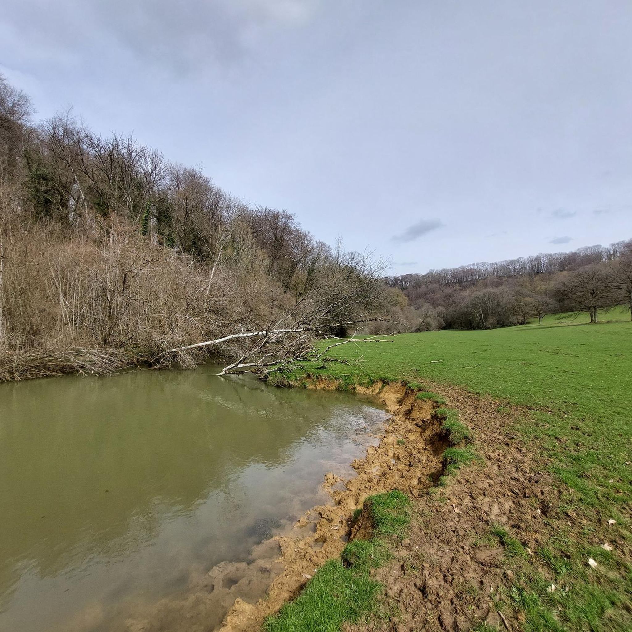
In Marville, the Othain lake is a pleasant place to relax, with its leisure center and various walking trails. Here, the stretch of land that juts out offers a beautiful view of the expanse.
0
0
This cabin is a pleasant place to spend the night in the woods of Lamorteau. Reservations can be made on the following website: https://rouvroy.be/3313/cabane-de-radru/.
1
0
This organic communal associative vineyard is a fine example of the typical wine-growing landscapes of Torgny and Gaume.
1
0


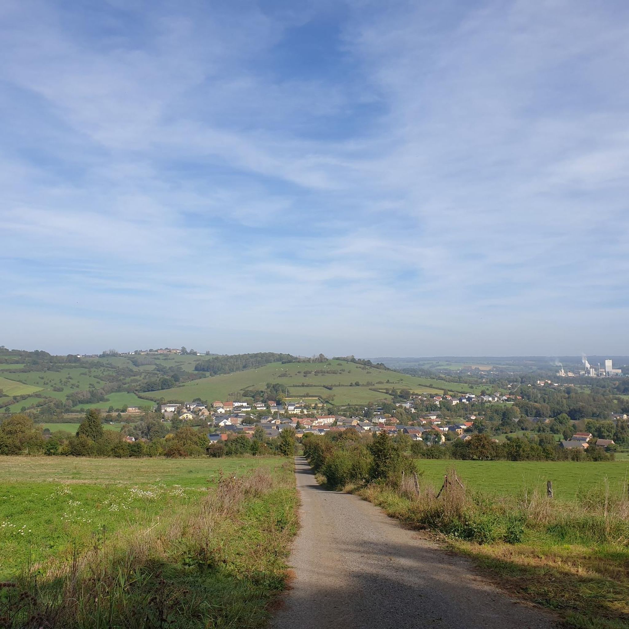
On the edge of a wooded massif, where the climate is favorable for growing wine, lies Torgny, Belgium's southernmost village. The houses here, built of yellow sandstone with Roman roof tiles, are striking, lending a Mediterranean flair. A truly beautiful sight. No wonder this place is considered one of the most beautiful villages in Wallonia.
1
0

The iron industry is very old in France, especially in Lorraine, thanks to the minette and in the Longwy sector, to the deposit of St Pancré whose ore kidneys are very rich in iron. As early as 1270, an agreement between the Dukes of Lorraine and Luxembourg mentioned the mines of the region and in 1488, the monks of Orval, the master builders of Buré la Forge, obtained a free passage for the transport of ore; another concession was signed in 1513. The Buré ironworks dates back to the 14th century (it is mentioned in 1416). It was founded by the monks of Orval who owned it until the Revolution. It was then bought by the Trotyanne family of Longwy. In 1691, lacking fuel, Buré was abandoned in favor of Dorlon, whose furnace was in the middle of the woods, which solved the problem of its charcoal supply. Buré was then just a simple farm with a beautiful pond. It was in 1827 that Mr. and Mrs. Trotyanne reestablished a forge there which would operate until 1860.
0
0

PLEASE NOTE: on this - beautiful - circuit, after the village of Alondrelle, the path as mentioned on this circuit has become impassable between the meadows. If you go further, from the entrance to the woods towards Torgny, the path is not very suitable for vehicles or even almost impassable by bike if it has rained a lot! A mountain bike is essential!
0
0

The southernmost village in Belgium.
2
0
Frequently Asked Questions
How many running routes are available around Villers-Le-Rond?
There are over 80 running routes available around Villers-Le-Rond, offering a wide variety of options for different skill levels and preferences. The region is known for its diverse terrain within the Lorraine Regional Natural Park.
What kind of terrain can I expect on the jogging trails in Villers-Le-Rond?
The running trails in Villers-Le-Rond are situated within a rural plateau environment, with elevations ranging from 196 to 316 meters. This means you can expect varied terrain, including both gentle slopes and more challenging inclines. Routes often pass through agricultural plateaus, forest valleys, and wetland prairies, offering a mix of open spaces and natural features.
Are there any easy running routes suitable for beginners in the area?
Yes, Villers-Le-Rond offers several easy running paths, with 6 routes specifically categorized as easy. These trails are perfect for beginners or those looking for a more relaxed run through the tranquil rural landscapes.
What do other runners enjoy most about jogging in Villers-Le-Rond?
The running routes in Villers-Le-Rond are highly rated by the komoot community, with an average score of 4.5 stars from over 15 reviews. More than 750 runners have explored the area, often praising the varied terrain, the peaceful ambiance of the Lorraine Regional Natural Park, and the well-maintained paths.
Are there any notable landmarks or attractions to see along the running routes?
While jogging, you might encounter charming village settings and historical elements. For specific points of interest, consider exploring nearby attractions such as Torgny Village, the Citadel of Montmédy, or the Ruins of Montquintin Castle. You can find more details about these at Torgny Village, Citadel of Montmédy, and Ruins of Montquintin Castle.
Are there any circular running routes available?
Yes, many of the running routes around Villers-Le-Rond are circular, allowing you to start and finish at the same point. For example, the Old Buré Forge loop from Charency-Vezin is a popular circular trail, as is the Main Square of Marville – View of the Étang de l'Othain loop from Marville.
Can I find running routes that offer scenic views of water features?
Absolutely. The region lies between the valleys of the Chiers and Othain rivers, and is part of the 'Pays des Étangs' (Land of Ponds) within the Lorraine Regional Natural Park. The Main Square of Marville – View of the Étang de l'Othain loop from Marville specifically offers views of the Étang de l'Othain, providing a beautiful waterside running experience.
Are there any longer, more challenging running trails for experienced runners?
Yes, for those seeking a greater challenge, there are 11 routes classified as difficult. An example of a longer, moderate route is the Château de la Grande Flassigny loop from Saint-Jean-lès-Longuyon, which covers nearly 13.5 km with significant elevation changes.
What is the best time of year to go jogging in Villers-Le-Rond?
Villers-Le-Rond, with its tranquil rural setting and position within the Lorraine Regional Natural Park, is suitable for jogging throughout much of the year. Spring and autumn offer pleasant temperatures and beautiful scenery, while summer provides longer daylight hours. The park's wetlands are also significant for birdwatching, particularly during migration periods, adding another dimension to your run.
Is Villers-Le-Rond a good destination for combining running with nature observation?
Yes, the Lorraine Regional Natural Park, which encompasses Villers-Le-Rond, is renowned for its diverse natural treasures, including extensive wetland prairies and over 300 ponds. These areas are significant mid-migration stopping and mating sites for approximately 200 bird species, making it an excellent location for combining your run with birdwatching and nature observation.
How long do the running routes typically take to complete?
The duration of running routes varies depending on the distance and your pace. For example, the Old Buré Forge loop from Charency-Vezin, which is 8.6 km, typically takes about 1 hour and 4 minutes. Shorter routes like the Torgny – Torgny Village loop from Velosnes (7.1 km) can be completed in around 46 minutes.
Are there extensive marked paths for running in the region?
Yes, the Lorraine Regional Natural Park, where Villers-Le-Rond is located, boasts nearly 500 kilometers of marked paths. These well-maintained trails provide ample opportunities for joggers to explore the park's varied ecosystems, ensuring you can easily find your way.
Most popular routes around Villers-Le-Rond
Most popular attractions around Villers-Le-Rond

Get inspired with the komoot mobile app


Explore more
Browse the best Running Trails & Routes in other regions.
