The best road cycling routes around Chenereilles
4.4
(110)
2,782
riders
232
rides
Road cycling routes around Chenereilles are situated in France's Loire department, within the Auvergne Rhône-Alpes region. The area features elevated and varied terrain, ranging from 806 to 956 meters in altitude, offering cyclists challenging climbs and rewarding descents. This mid-mountain landscape includes scenic cols and crests, such as the Col des Pradeaux, and provides panoramic views over the Velay and Forez regions. Natural features like Lac de Lavalette also contribute to the diverse cycling environment.
Best road cycling routes around…
Last updated: July 1, 2026
4.0
(5)
83
riders
48.5km
02:32
580m
580m
Moderate road ride. Good fitness required. Some segments of this route may be unpaved and difficult to ride.
69
riders
27.0km
01:58
460m
460m
Moderate road ride. Good fitness required. Some segments of this route may be unpaved and difficult to ride.

Sign up for free
44
riders
24.2km
01:19
450m
450m
Moderate road ride. Good fitness required. Mostly well-paved surfaces and easy to ride.
5.0
(1)
33
riders
70.5km
03:29
1,110m
1,110m
Hard road ride. Very good fitness required. Mostly well-paved surfaces and easy to ride.
22
riders
65.7km
03:31
1,210m
1,210m
Hard road ride. Very good fitness required. Mostly well-paved surfaces and easy to ride.
Get access to more routes and recommendations from other explorers.
Sign up for free
Already have an account?
Our route recommendations are based on thousands of hikes, rides, and runs completed by other people on komoot.
Start today with a free account
Your next adventure awaits.
Login or Signup

Tips from the Community

very good route for the tour of the lake or even for training for a first triathlon 🚴♂️
0
0

Lively place, lots of shops.
0
0

The Velay-Express is a historic train that allows you to discover the landscapes of Ardèche and Haute-Loire in complete tranquility. Raucoules station is one of the four stops offered.
2
0

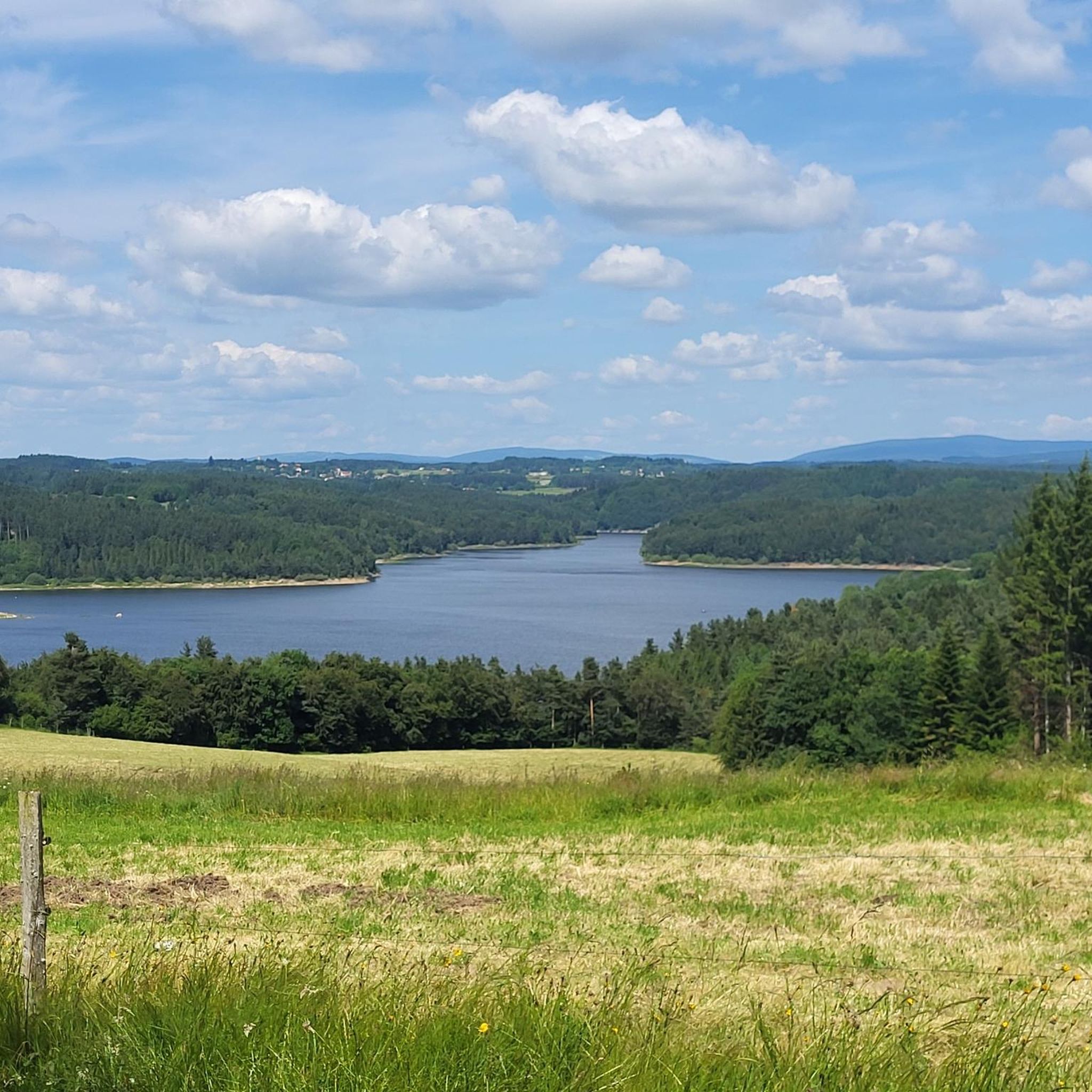
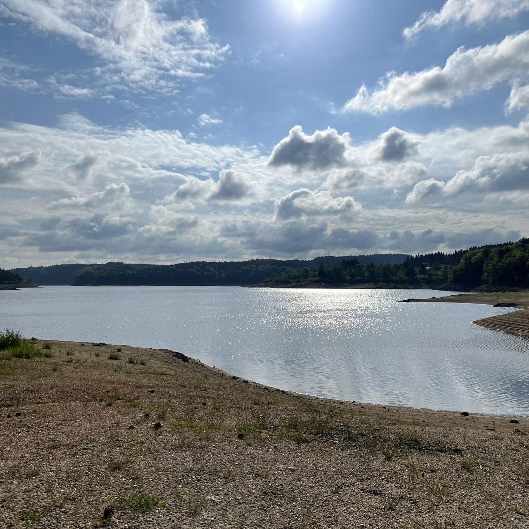
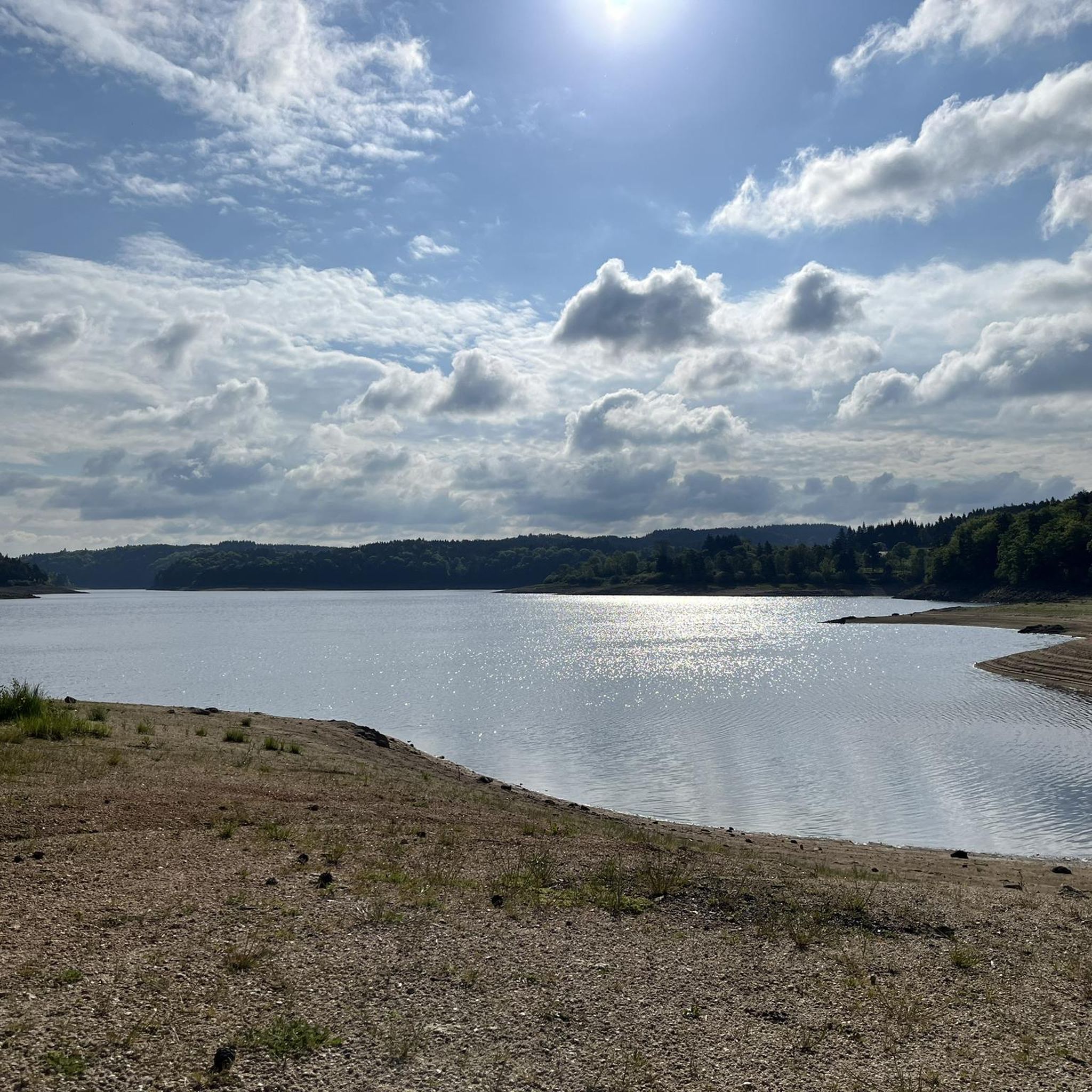
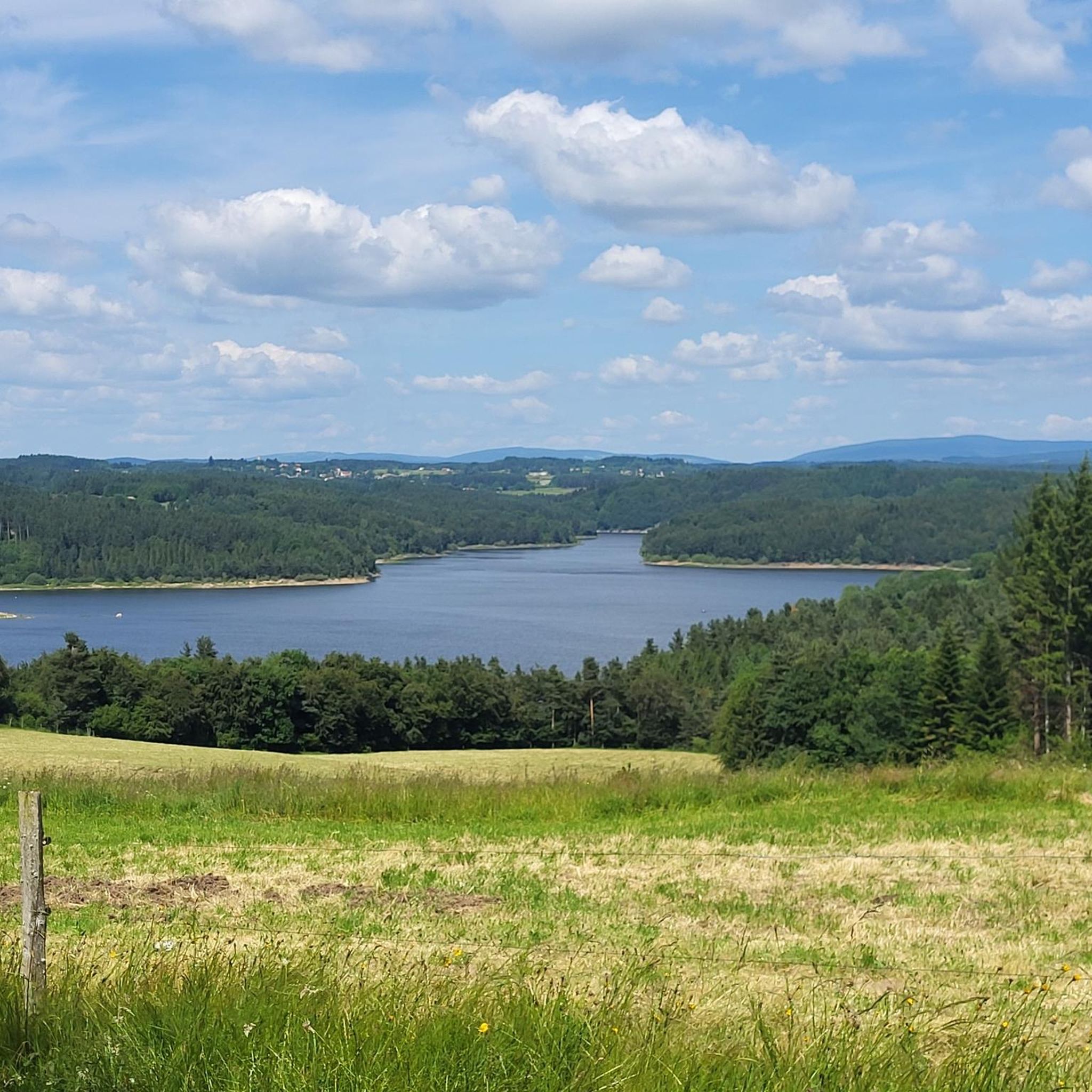
Beautiful reservoir, the level is low currently because repairs are underway until 2026, but otherwise, it's a little Canada!
0
0
The station inn (Table des 2L) is undergoing a magnificent restoration!
0
0

superb greenway the riverway
0
0

After Montfaucon, the view is magnificent, embracing an opening of countryside landscapes as you wish!
1
0

The Lavalette dam is 507 meters long and 60 meters high. This hydraulic dam was built in 1949 upstream of the Lignon river and retains the waters of Lake Lavalette, known for its water sports center.
0
0
Frequently Asked Questions
How many road cycling routes are available around Chenereilles?
There are over 220 road cycling routes available around Chenereilles, catering to various skill levels. This includes 9 easy routes, 117 moderate routes, and 99 difficult routes, ensuring options for every cyclist.
What kind of terrain can I expect when road cycling in Chenereilles?
Chenereilles offers a diverse, elevated terrain, ranging from 806 to 956 meters in altitude. Cyclists can expect challenging climbs and rewarding descents through hilly to mountainous landscapes, including scenic cols like the Col des Pradeaux and crests such as the Perdrix Crest, providing stunning panoramic views over the Velay and Forez regions.
Are there road cycling routes suitable for beginners or families in Chenereilles?
Yes, Chenereilles offers several easier routes. For a gentler option, the Lake Lavalette – Lavalette Dam loop from Parking handicapés is a moderate 15.0 miles (24.2 km) trail that leads through the area around Lac de Lavalette. Additionally, the Canal du Forez offers a 44-kilometer route that is generally well-maintained and suitable for various ages.
What are some popular scenic viewpoints or landmarks along the road cycling routes?
Many routes offer stunning panoramic views, especially from elevated points like Montarcher (at 1162 meters). You can also find interesting landmarks such as the historic Château de la Borie and the Tour de Joux. The Lake Lavalette itself is a significant natural feature, providing a tranquil backdrop for rides.
Are there any challenging road cycling routes for experienced cyclists?
Absolutely. The region's mid-mountain classification ensures plenty of challenging options. Routes like the Waterways – Via fluvia in the forest loop from Trifoulou, a difficult 43.8 miles (70.5 km) route with over 1,100 meters of elevation gain, provide a significant test. The area around the Col des Pradeaux and the Bois Noirs also offers demanding climbs.
What do other road cyclists enjoy most about cycling in Chenereilles?
The road cycling routes around Chenereilles are highly rated by the komoot community, with an average score of 4.5 stars from nearly 100 reviews. Cyclists often praise the varied terrain, the rewarding descents, and the stunning panoramic views over the Velay and Forez regions.
Can I find long-distance road cycling routes in the area?
Yes, Chenereilles offers several longer routes for endurance cyclists. The Waterways – Via fluvia in the forest loop from Trifoulou covers 43.8 miles (70.5 km), while the Rochepaule Pass – Col des Baraques (1072 m) loop from Trifoulou is a difficult 41.1 miles (66.1 km) route, both offering substantial distances and elevation.
Are there any circular road cycling routes around Chenereilles?
Many of the routes in Chenereilles are designed as loops, allowing you to start and finish at the same point. For example, the popular Via fluvia in the forest – Waterways loop from Trifoulou is a 31.2 miles (50.2 km) circular trail, and the Lakeside Beach loop from Barrage de Lavalette is a moderate 16.7 miles (26.9 km) loop around Lac de Lavalette.
What attractions can I explore near the road cycling routes?
Beyond the cycling itself, you can explore local heritage sites such as the church, built from Cévennes granite, or visit the Himalayan footbridge at Gorges du Lignon. The tranquil Lake Lavalette is also a great spot for relaxation or water sports.
What is the best season for road biking in Chenereilles?
Given the elevated and varied terrain, spring through autumn generally offers the most favorable conditions for road cycling in Chenereilles. The mid-mountain landscape can experience colder temperatures and potentially snow in winter, making other seasons more enjoyable for exploring the scenic cols and crests.
Are there routes that pass by the Canal du Forez?
Yes, the Canal du Forez offers a pleasant 44-kilometer cycling option. While not explicitly listed as a komoot route in the immediate vicinity, its well-maintained tracks provide a good alternative or addition to the more challenging mountain routes, suitable for a relaxed ride.
Most popular routes around Chenereilles
Most popular attractions around Chenereilles

Get inspired with the komoot mobile app


Explore more
Browse the best Road cycling routes in other regions.
