The best road cycling routes around Saint-Jeures
4.4
(120)
3,067
riders
23
rides
Road cycling routes around Saint-Jeures are set within a mountainous landscape in the Haute-Loire department of France, situated at an altitude of approximately 1050 meters. This region features challenging ascents and rewarding panoramic views, with prominent natural features like the volcanic Pic du Lizieux and Suc du Mounier. Cyclists can explore diverse terrain, including sections of the Via Fluvia, scenic routes around Lac de Lavalette, and challenging climbs through the Gorges du Lignon. The area provides varied road cycling experiences…
Last updated: July 1, 2026
69
riders
27.0km
01:58
460m
460m
Moderate road ride. Good fitness required. Some segments of this route may be unpaved and difficult to ride.
4.5
(2)
22
riders
59.2km
02:51
800m
800m
Moderate road ride. Good fitness required. Mostly well-paved surfaces and easy to ride.

Sign up for free
21
riders
56.6km
02:50
930m
930m
Hard road ride. Very good fitness required. Mostly well-paved surfaces and easy to ride.
4.0
(1)
23
riders
32.2km
01:29
380m
390m
Moderate road ride. Good fitness required. Mostly well-paved surfaces and easy to ride.
5.0
(1)
14
riders
49.0km
02:28
720m
720m
Moderate road ride. Good fitness required. Some segments of this route may be unpaved and difficult to ride.
Get access to more routes and recommendations from other explorers.
Sign up for free
Already have an account?
Our route recommendations are based on thousands of hikes, rides, and runs completed by other people on komoot.
Start today with a free account
Your next adventure awaits.
Login or Signup
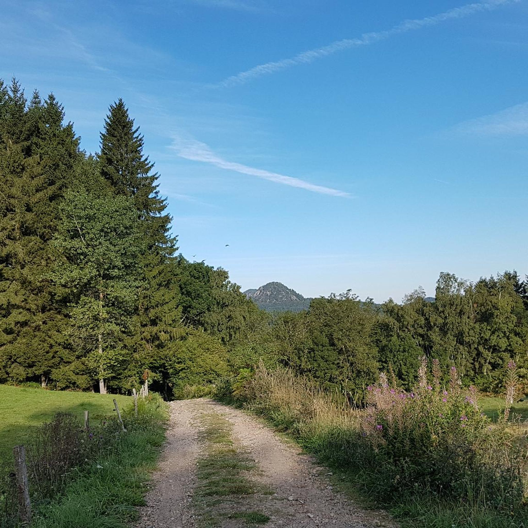
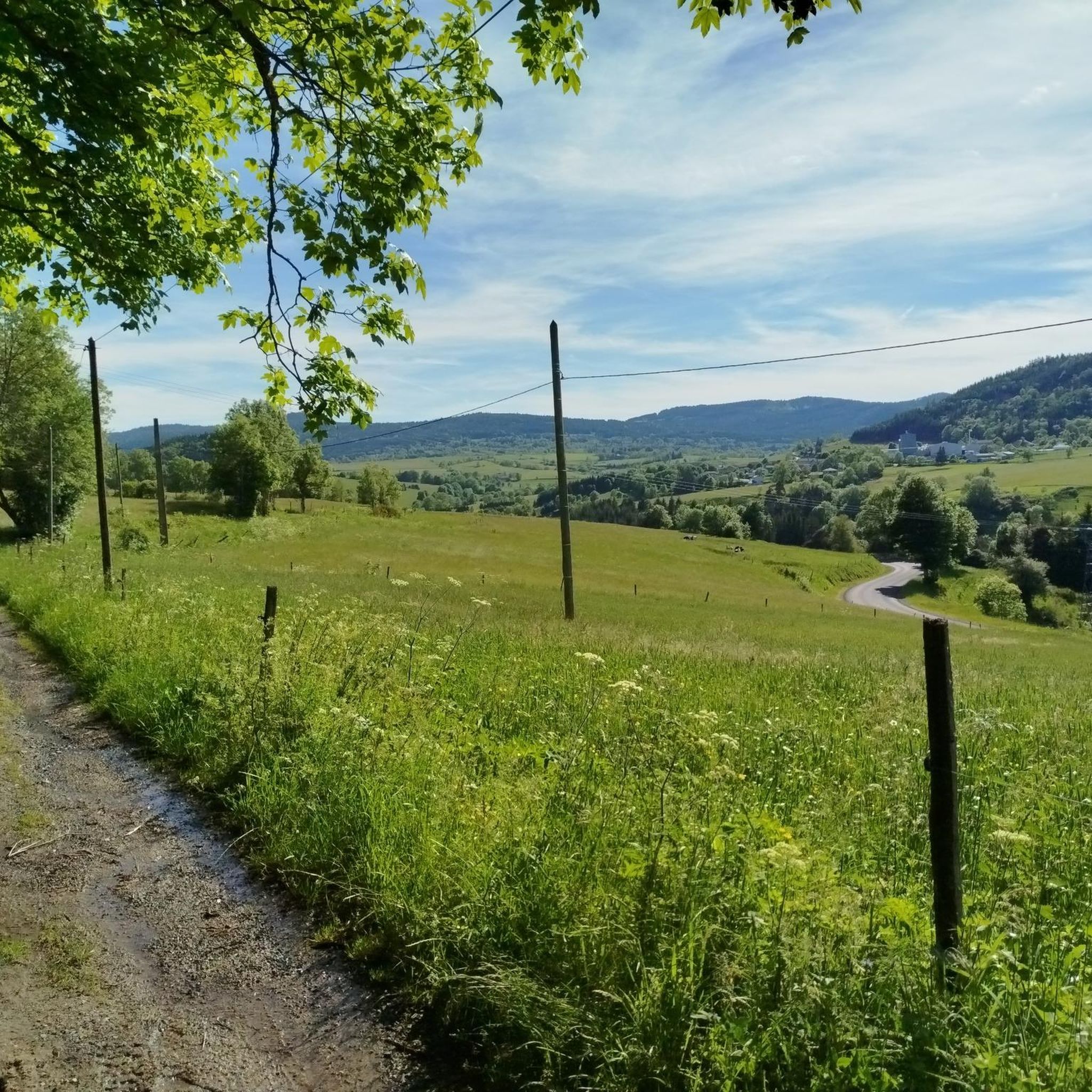
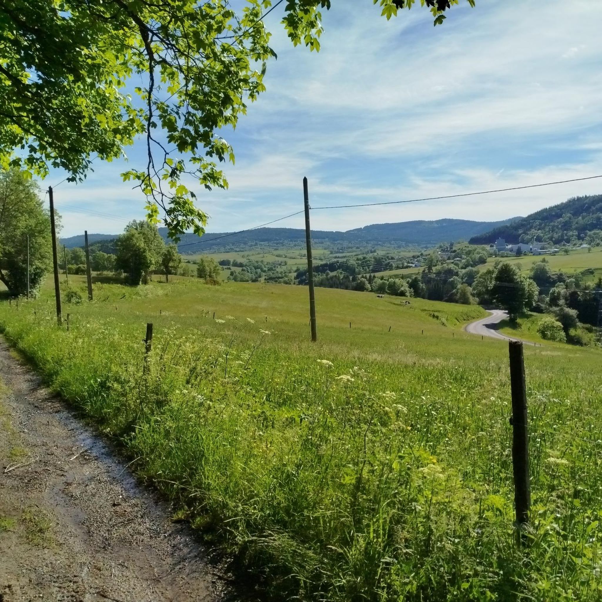
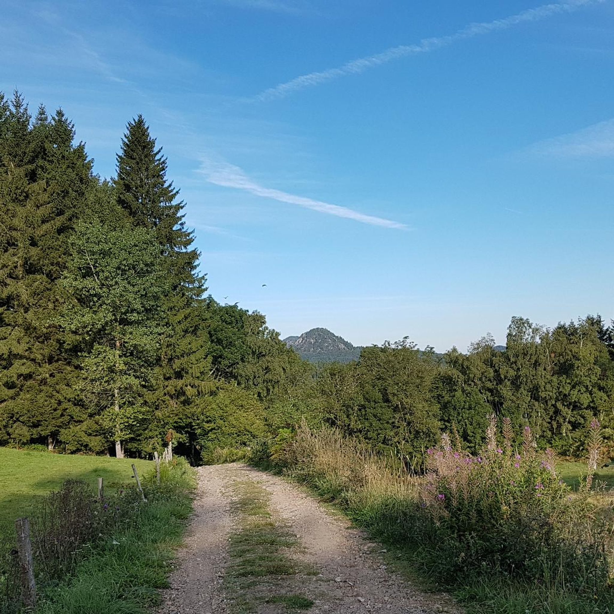

Tips from the Community

very good route for the tour of the lake or even for training for a first triathlon 🚴♂️
0
0


Beautiful reservoir, the level is low currently because repairs are underway until 2026, but otherwise, it's a little Canada!
0
0

This small town in Haut-Lignon offers a gentle and peaceful atmosphere. Located in the heart of a unique natural environment, the town is built on the banks of du Lignon. It is a true haven of peace.
0
0
A staircase climb provides access to a promontory which offers a view of the forest. The setting is bucolic!
1
0
The Lavalette dam is 507 meters long and 60 meters high. This hydraulic dam was built in 1949 upstream of the Lignon river and retains the waters of Lake Lavalette, known for its water sports center.
0
0
Lake Lavalette is fed by the waters of the Lignon and covers 220 hectares at an altitude of 820 meters. The nautical leisure center offers plenty of activities such as catamaran rides, dinghy rides, windsurfing, and also equipment rental: kayaks, pedal boats, stand-up paddleboards, etc.
0
0

This dam lake is accessible for swimming and sailing. At the leisure base, you can also find a beach to get in the water but also some amenities such as toilets and something to fill your water bottles.
1
0
Frequently Asked Questions
How many road cycling routes are available around Saint-Jeures?
There are over 15 road cycling routes around Saint-Jeures, offering diverse experiences from moderate loops to challenging climbs. The komoot community has explored these routes over 800 times.
What are the difficulty levels of road cycling routes in Saint-Jeures?
The routes around Saint-Jeures cater to various skill levels. You'll find 1 easy route, 16 moderate routes, and 2 difficult routes, ensuring options for both casual riders and experienced cyclists seeking a challenge.
Are there challenging climbs for experienced road cyclists in the region?
Yes, Saint-Jeures offers challenging climbs, reflecting its mountainous terrain. Routes like the Vaubarlet Climb – Belle Vue loop from Saint-Jeures feature significant elevation gains. The region's volcanic formations, such as the Pic du Lizieux and Suc du Mounier, contribute to these demanding ascents and rewarding panoramic views.
Are there easy road cycling routes suitable for beginners or families?
While the region is generally mountainous, there are easier options. Routes around Lac de Lavalette, such as the Lakeside Beach loop from Barrage de Lavalette, offer more moderate terrain suitable for those looking for a less strenuous ride. The Via Fluvia, with its largely traffic-free sections, also provides accessible cycling, though some parts may be compacted gravel.
What natural features and landmarks can I see while road cycling in Saint-Jeures?
The region is rich in natural beauty. You can encounter volcanic peaks like the Pic du Lizieux and Suc du Mounier, and enjoy views of the Sucs along the Via Fluvia (View of the Sucs along the Via Fluvia). The impressive Himalayan footbridge at Gorges du Lignon is another notable landmark, offering dramatic scenery. The scenic Lac de Lavalette (Lake Lavalette) is also a prominent feature.
Are there any circular road cycling routes around Saint-Jeures?
Yes, many routes in the area are circular, allowing you to start and end in the same location. Examples include the Lavalette Dam – Lake Lavalette loop from Saint-Jeures and the View of the Croix de Peccata loop from Saint-Jeures, which offer varied distances and elevations.
What is the best time of year for road cycling in Saint-Jeures?
Given its mountainous altitude of approximately 1050 meters, the warmer months, typically late spring through early autumn, are ideal for road cycling in Saint-Jeures. This period offers more favorable weather conditions and ensures roads are clear of snow or ice, allowing for comfortable exploration of the diverse terrain.
Is the Via Fluvia suitable for road bikes near Saint-Jeures?
The Via Fluvia, a dedicated cycle route, is largely suitable for road bikes. Over 60% of its path is traffic-free, with the remainder on quiet roads. While some sections may have compacted gravel, paved alternatives often exist, making it a viable option for road cyclists to experience varied landscapes and views of ancient volcanoes and gorges.
What do other road cyclists enjoy most about road cycling in Saint-Jeures?
The area is highly rated by the komoot community, with an average score of 4.4 stars from over 20 reviews. Cyclists often praise the diverse terrain, from scenic lake loops to challenging mountain climbs, and the rewarding panoramic views of the volcanic landscape.
Are there amenities like cafes or accommodation available for cyclists in Saint-Jeures?
Saint-Jeures and its surrounding villages offer amenities for cyclists. While specific cafes and accommodations are not detailed in the routes, the presence of towns like Yssingeaux, Raucoules, and Riotord along the Via Fluvia, and the general popularity of the region for outdoor activities, suggests that you will find places to refuel and rest.
Where can I find parking for road cycling routes in Saint-Jeures?
While specific parking locations are not detailed for every route, starting points for many routes, such as those around Lac de Lavalette or from Saint-Jeures itself, typically have designated parking areas. It is advisable to check local signage or use navigation apps for specific parking information at your chosen starting point.
Can I explore the wider Haute-Loire department by road bike from Saint-Jeures?
Absolutely. Saint-Jeures serves as an excellent base for exploring the Haute-Loire department. Its proximity to routes like the Via Fluvia and its central location within a mountainous region mean you can embark on longer rides that venture into the wider department, experiencing its diverse landscapes and charming villages.
Most popular routes around Saint-Jeures
Most popular attractions around Saint-Jeures

Get inspired with the komoot mobile app


Explore more
Browse the best Road cycling routes in other regions.
