The best road cycling routes around Aiterhofen
4.6
(505)
8,158
riders
565
rides
Road cycling around Aiterhofen offers diverse landscapes, from the flat paths along the Danube River and the fertile Gäuboden plain to the rolling hills and forest areas near the Bavarian Forest. The region provides a well-developed infrastructure for cyclists, with routes catering to various preferences and fitness levels. Cyclists can explore shaded sections through the Irlbacher Auwald and enjoy views of distant peaks.
Best road cycling routes around Aiterhofen
- The most popular road cycling route is Roadbike loop from Bogen…
Last updated: July 10, 2026
4.3
(10)
102
riders
52.3km
02:14
360m
360m
Moderate road ride. Good fitness required. Some segments of this route may be unpaved and difficult to ride.
5.0
(2)
28
riders
78.7km
04:24
1,720m
1,720m
Hard road ride. Very good fitness required. Mostly well-paved surfaces and easy to ride.

Sign up for free
4.8
(11)
43
riders
25.2km
01:04
150m
150m
Easy road ride. Great for any fitness level. Mostly well-paved surfaces and easy to ride.
20
riders
125km
04:58
390m
390m
Moderate road ride. Good fitness required. Some segments of this route may be unpaved and difficult to ride.
4.3
(3)
20
riders
30.6km
01:12
100m
100m
Easy road ride. Great for any fitness level. Mostly well-paved surfaces and easy to ride.
Get access to more routes and recommendations from other explorers.
Sign up for free
Already have an account?
Our route recommendations are based on thousands of hikes, rides, and runs completed by other people on komoot.
Start today with a free account
Your next adventure awaits.
Login or Signup

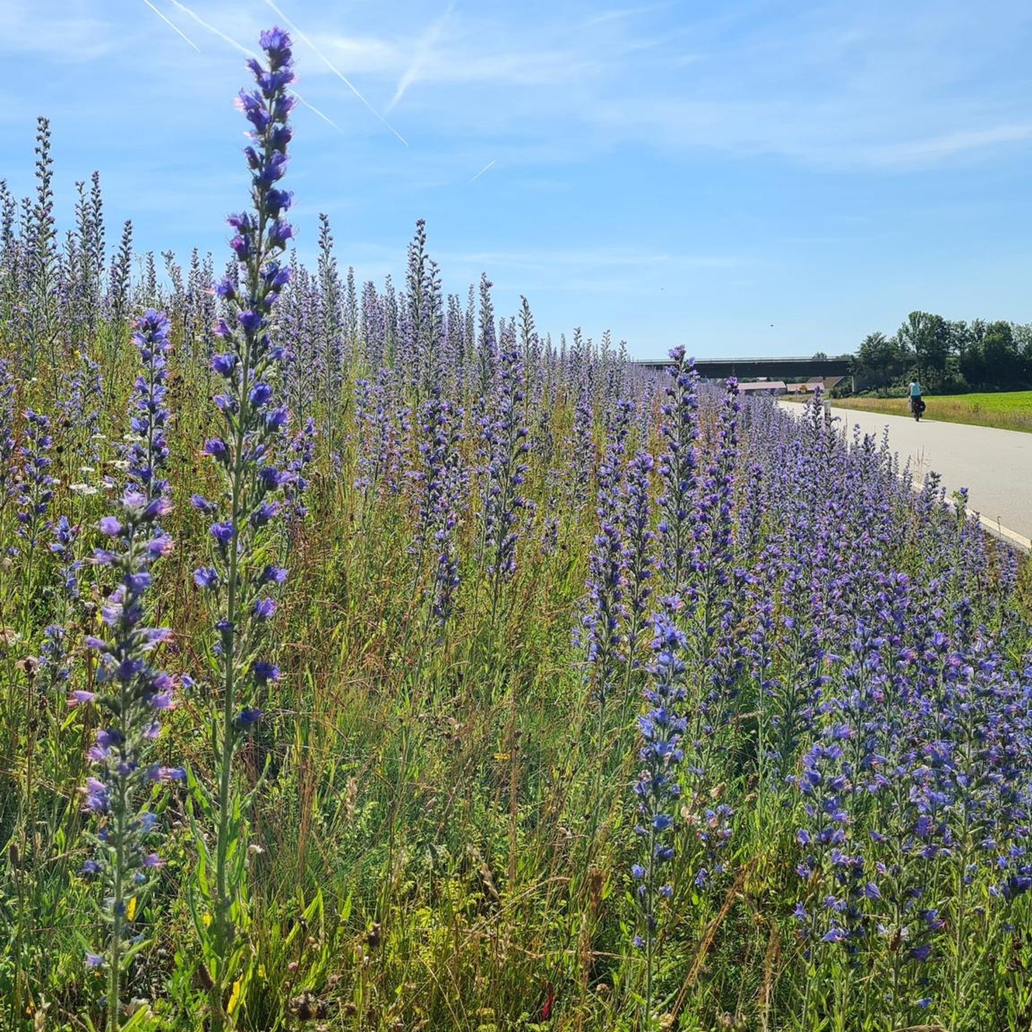
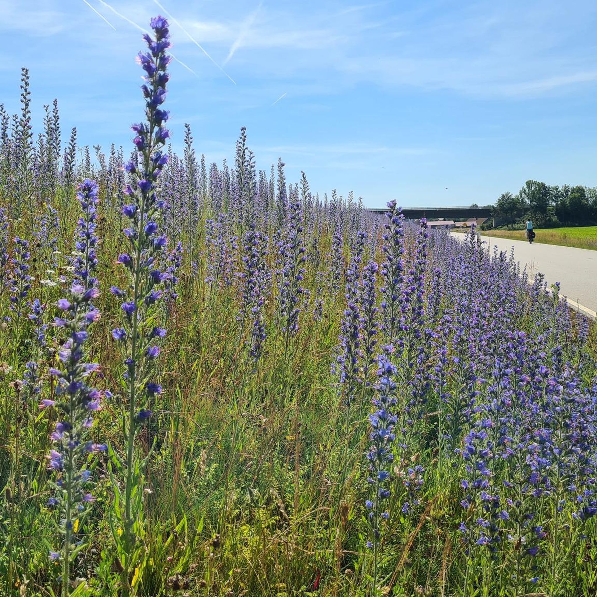
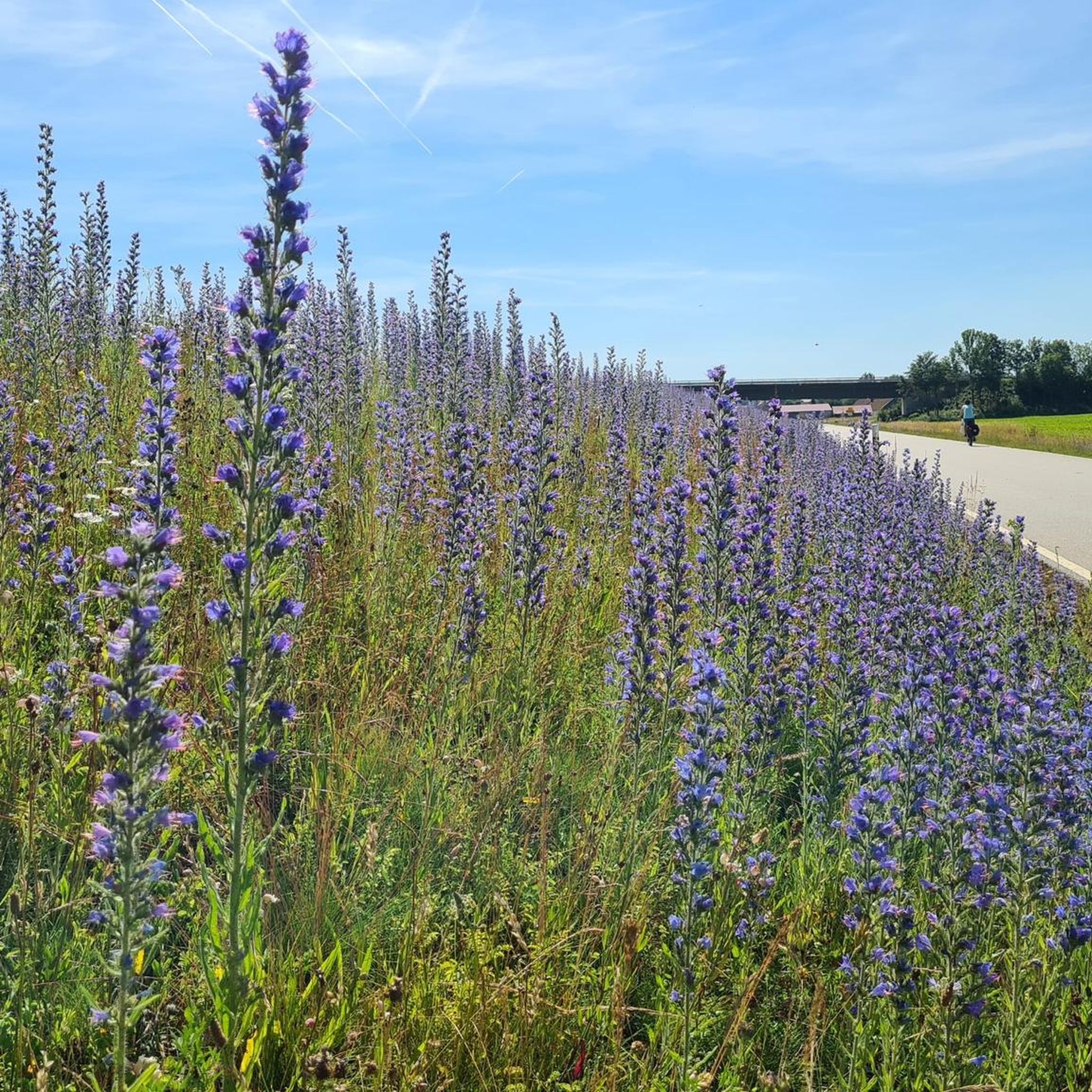
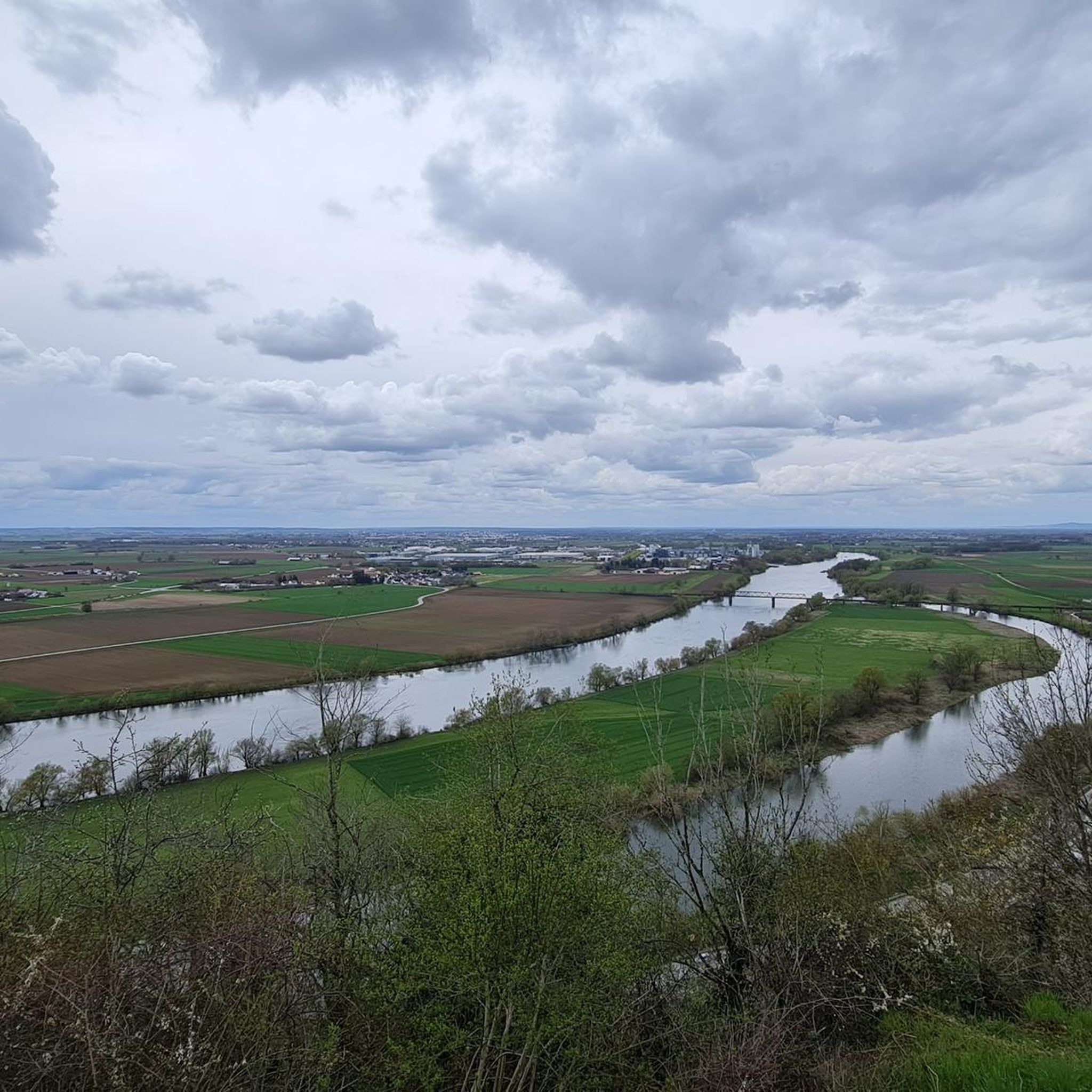
Other adventures around Aiterhofen

Tips from the Community


The Bogenberg, often called the „Holy Mountain of Lower Bavaria“, is much more than just an elevation on the Danube. It is a historically significant pilgrimage site, an important natural monument, and the „cradle“ of one of the most famous Bavarian symbols. After the family line died out in 1242, their possessions and coat of arms passed to the Wittelsbachs. Thus, the lozenge coat of arms of Bogen became the Bavarian state symbol. You can learn more at the Kreismuseum Bogenberg, which is located directly on the mountain.
0
0


Castle ruins - just look, don't buy anything :-)
0
0
permanent incline from Neukirchen to Maibrunn, very little traffic today :-)
0
0

Very nice here
3
0

Egg Castle is located in the Egg part of the municipality of Bernried in the district of Deggendorf. The former defensive structure was built in the 11th century in the valley of the Mettenbach as a moated castle and was given a romantic makeover in the middle of the 19th century. The complex is listed as an architectural monument under the file number D-2-71-116-14. The complex is also listed as an archaeological monument under the file number D-2-7143-0001 with the description "underground medieval and early modern findings in the area of the castle ruins and castle of Egg".
3
0
Frequently Asked Questions
What kind of terrain can I expect when road cycling around Aiterhofen?
Aiterhofen offers a diverse range of terrain. You'll find largely flat paths along the Danube River and across the fertile Gäuboden plain, ideal for leisurely rides. Closer to the Bavarian Forest, routes introduce more varied terrain with rolling hills and some elevation gain, providing options for more challenging experiences.
Are there challenging road cycling routes for experienced riders?
Yes, for experienced riders seeking a challenge, routes with significant elevation gain are available. One such route is the View of Schuhchristleger – Maibrunner Höhe (902 m) loop from Bogen, which is a difficult 48.9-mile (78.7 km) path featuring substantial climbs and expansive views.
Are there easy road cycling routes suitable for beginners?
Absolutely. Many routes around Aiterhofen feature minimal elevation gain, making them suitable for relaxed cycling and beginners. An example is the Oberalteich Church – Steinach Castle loop from Bogen, an easy 19.3-mile (31.1 km) route.
What natural features or landmarks can I see along the road cycling routes?
Cyclists can enjoy scenic views across the Gäuboden plain, shaded paths through the Irlbacher Auwald, and views of distant peaks near the Bavarian Forest. Notable natural highlights include the Bogenberg ⛪ from the old Danube arm and the Ludmillafelsen.
Are there any historical sites to visit while cycling?
Yes, the region is rich in historical sites. You can incorporate visits to places like the Ducal Castle Straubing 🏰 or Irlbach Castle into your rides. The pilgrimage church on Bogenberg is also a notable sight along many cycling paths.
When is the best time of year to go road cycling in Aiterhofen?
The best seasons for road cycling in Aiterhofen are generally from spring to autumn. During these months, the weather is pleasant, and the natural surroundings are in full bloom, offering ideal conditions for exploring the routes.
Can I find circular road cycling routes around Aiterhofen?
Yes, many road cycling routes in the Aiterhofen area are designed as loops. For instance, the popular Roadbike loop from Bogen is a moderate 33.4-mile (53.7 km) trail that offers varied terrain in a circular format.
What are some of the longer road cycling routes available?
For those looking for longer rides, the Danube Bridge, Vilshofen – Winzer Castle Ruins loop from Bogen is a challenging 79.0-mile (127.2 km) trail that leads through the Danube River valley and can take around 5 hours to complete.
Are there places to stop for refreshments along the routes?
Yes, many routes pass through or near towns and villages where you can find cafes and pubs. The nearby town of Straubing, with its historic center, offers various options for refreshments and breaks. The pilgrimage church on Bogenberg is also a common stop.
How many road cycling routes are available in the Aiterhofen region?
There are over 580 road cycling routes available around Aiterhofen, catering to various preferences and fitness levels. This extensive network ensures plenty of options for exploration.
What do other road cyclists enjoy the most about road cycling in Aiterhofen?
The area is highly rated by the komoot community, with an average score of 4.5 stars from over 400 reviews. Reviewers often praise the diverse landscapes, from the flat paths along the Danube to the rolling hills, and the well-developed infrastructure for cyclists.
Are there routes that allow cycling along the Danube River?
Yes, Aiterhofen's proximity to the Danube River means you can find routes that follow its course. The region's location near the Danube and the Gäuboden plain provides cyclists with largely flat paths along the river, offering scenic views and relaxed riding.
Can I find routes that explore the Bavarian Forest area?
Yes, the proximity to the Bavarian Forest means you can find routes that venture into this area. These routes typically offer more varied terrain, including extensive forest sections and some rolling hills, providing a different cycling experience compared to the flatter plains.
Most popular routes around Aiterhofen
Most popular attractions around Aiterhofen

Get inspired with the komoot mobile app


Explore more
Browse the best Road cycling routes in other regions.
