The best MTB trails around Flassigny
4.3
(19)
100
riders
49
rides
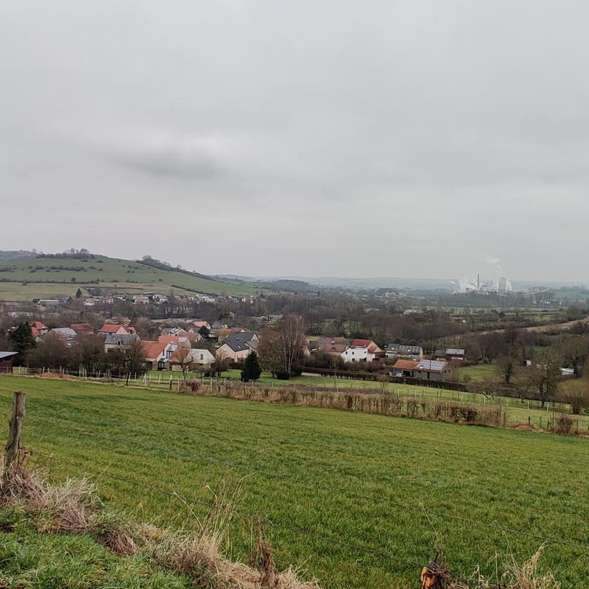
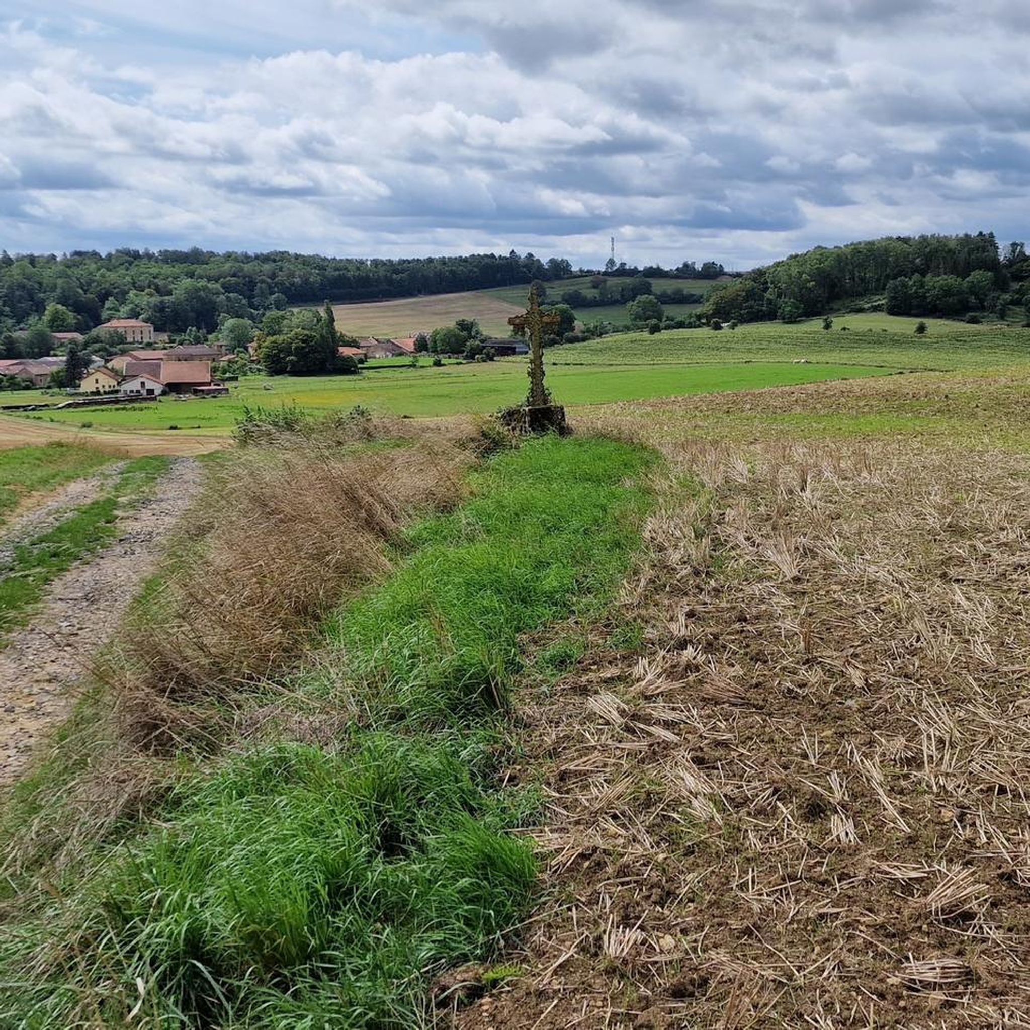
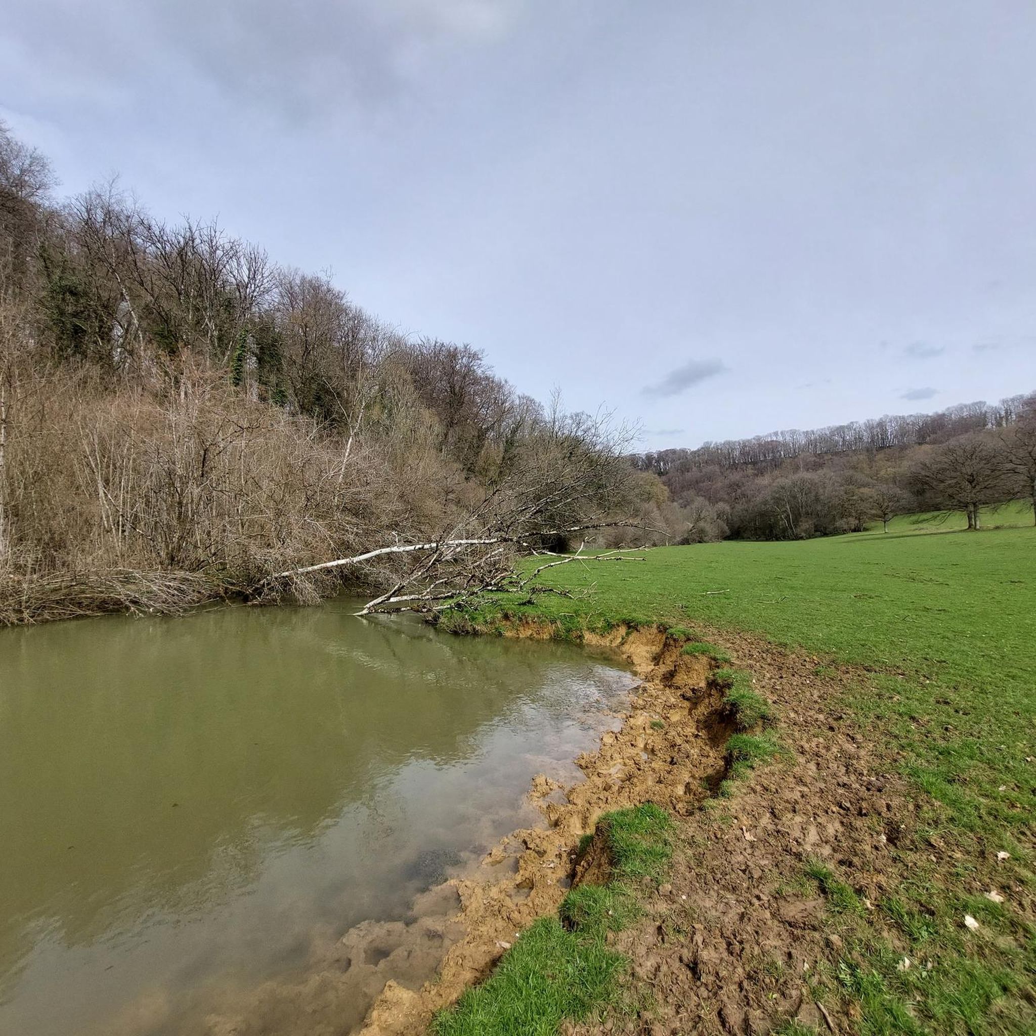
Mountain bike trails around Flassigny traverse a landscape characterized by diverse topography, including agricultural land, expansive forests, and rolling hills. The region features natural elevation changes, with altitudes ranging from 193 meters to 337 meters, providing varied terrain for cycling. The Othain River forms the eastern border, contributing to the area's natural features, while extensive forests and open fields offer varied scenery for outdoor exploration.
Best mountain bike trails around Flassigny
- The most popular mountain bike trail is Saint-Hilaire Cemetery…
Last updated: October 8, 2026
4.5
(2)
5
riders
33.9km
02:53
570m
570m
Moderate mountain bike ride. Good fitness required. Suitable for all skill levels.
4
riders
25.3km
02:03
460m
460m
Moderate mountain bike ride. Good fitness required. Suitable for all skill levels.

7
riders
29.0km
02:39
600m
600m
Moderate mountain bike ride. Good fitness required. Advanced riding skills necessary.
3.5
(2)
10
riders
47.9km
02:47
350m
350m
Moderate mountain bike ride. Good fitness required. Suitable for all skill levels.
5.0
(1)
4
riders
Easy mountain bike ride. Great for any fitness level. Suitable for all skill levels.
Get access to more routes and recommendations from other explorers.
Already have an account?
Our route recommendations are based on thousands of hikes, rides, and runs completed by other people on komoot.
Start today with a free account
Your next adventure awaits.


Tips from the Community

A place of remembrance for the barbarity of war
0
0

You can walk all the way around the ramparts. We found it unique and impressive. The museum was also interesting.
0
0

very beautiful and lots of beautiful paths and woods
0
0

In Marville, the Othain lake is a pleasant place to relax, with its leisure center and various walking trails. Here, the stretch of land that juts out offers a beautiful view of the expanse.
0
0
The Chiers Valley features several limestone hills where unique flora and fauna have developed in the region. This is the case of the Ramonette Valley, where there is also an old Maginot Line fort.
0
0

It is between Etalle and Virton, very precisely in Croix-Rouge, that you will find the place called "Trou des Fées". Well known to the inhabitants of the region, this unique site is at the center of many legends relating to the history of D’jean dMady but also and especially to that of the fairies of Gaume.
1
0
333 French soldiers are buried in this cemetery. 267 of them have been identified and are buried in individual graves. 66 unknown individuals are buried in 35 individual or communal graves.
3
0

Taking the descending road, you reach the archaeological and artistic site of Montauban. A lovely, bucolic spot.
1
0
Frequently Asked Questions
How many mountain bike trails are available around Flassigny?
There are over 35 mountain bike trails around Flassigny, offering a variety of options for different skill levels. The network includes 6 easy routes, 32 moderate routes, and 1 difficult route.
What is the overall difficulty level of mountain biking in Flassigny?
Mountain biking in Flassigny is primarily characterized by moderate trails, making up the majority of the routes. These trails often feature significant elevation changes through rolling hills and forests. There are also several easy options for a more relaxed ride and one difficult route for experienced riders.
Are there any easy mountain bike trails suitable for beginners in Flassigny?
Yes, Flassigny offers 6 easy mountain bike routes perfect for beginners or those seeking a more relaxed ride. An example is the Othain Pond loop from Marville, which is 16.1 km long and takes about 1 hour 21 minutes to complete.
What options are there for advanced mountain bikers in Flassigny?
For advanced mountain bikers, there is at least one difficult route available. The region's diverse topography, with altitudes ranging from 193 to 337 meters, ensures challenging climbs and descents across its varied terrain of forests and rolling hills.
Are there family-friendly mountain bike routes in Flassigny?
Yes, the area offers several easy routes that are suitable for families. These trails typically traverse rolling fields and wooded sections, providing a pleasant experience without overly challenging terrain. Look for routes marked as 'easy' on komoot for the most family-friendly options.
Can I bring my dog on the mountain bike trails around Flassigny?
While specific regulations for dogs on trails are not detailed, generally, dogs are welcome on many outdoor trails in rural France, especially if kept on a leash. It's always advisable to ensure your dog is well-behaved and to clean up after them. The extensive forests and open fields provide a natural environment for rides with your canine companion.
What kind of landscapes will I encounter on the mountain bike trails?
The mountain bike trails around Flassigny traverse a diverse landscape. You'll ride through expansive forests, across rolling agricultural land, and over undulating hills. The Othain River also forms part of the eastern border, offering picturesque waterside sections on some routes, such as the Othain Pond – Othain Reservoir loop from Velosnes.
What are some interesting landmarks or attractions to see near the mountain bike routes?
Beyond the natural beauty, you can explore several historical and cultural sites. The Torgny Village, known for its sunny microclimate, is a beautiful nearby destination. Other notable attractions include the Basilica of Our Lady of Avioth and the impressive Citadel of Montmédy, which offers elevated views of the surrounding area. The Ruins of Montquintin Castle also provide a glimpse into the region's history.
Are there any loop mountain bike trails in Flassigny?
Yes, many of the mountain bike trails in Flassigny are designed as loops, allowing you to start and finish at the same point. Examples include the popular Saint-Hilaire Cemetery – View of the Étang de l'Othain loop from Montmédy and the Avioth loop from Montmédy.
What is the best time of year for mountain biking in Flassigny?
The diverse topography of Flassigny, with its forests and rolling hills, makes it suitable for mountain biking across multiple seasons. Spring and autumn generally offer pleasant temperatures and vibrant scenery. Summer can also be enjoyable, especially in the shaded forest sections. Always check local weather conditions before heading out.
What do other mountain bikers enjoy the most about mountain biking in Flassigny?
The area is highly rated by the komoot community, with an average score of 3.7 stars from around 10 reviews. Reviewers often praise the varied terrain, the extensive forests, and the rolling hills that define the region's mountain biking experience. The routes offer a good mix of challenges and scenic beauty.
Where can I find parking for mountain bike trails in Flassigny?
While specific parking areas are not detailed for every trailhead, many routes, especially those starting from villages like Montmédy or Charency-Vezin, will have public parking available. It's advisable to check the starting point of your chosen route on komoot for more precise parking information.
Most popular routes around Flassigny
Most popular attractions around Flassigny

Get inspired with the komoot mobile app


Explore more
Browse the best MTB trails in other regions.
