The best running trails around Halsbrücke
4.6
(15)
175
runners
26
runs
Jogging around Halsbrücke offers diverse terrain within the Mittelsachsen district of Saxony, Germany. The municipality is situated on the left bank of the Freiberger Mulde river, providing scenic riverside paths. Elevation in the area ranges from approximately 296 to 375 meters above sea level, ensuring varied running experiences. The landscape combines river valleys, historical sites, and remnants of industrial heritage, creating a unique environment for outdoor activities.
Best jogging routes around Halsbrücke
- The most popular jogging route is View of…
Last updated: June 26, 2026
4.7
(3)
13
runners
8.27km
00:53
90m
90m
Moderate run. Good fitness required. Mostly paved surfaces. Suitable for all skill levels.
3.0
(4)
11
runners
12.1km
01:17
100m
100m
Moderate run. Good fitness required. Mostly paved surfaces. Suitable for all skill levels.

Sign up for free
5.0
(2)
15
runners
11.1km
01:10
100m
100m
Moderate run. Good fitness required. Mostly paved surfaces. Suitable for all skill levels.
10
runners
Hard run. Very good fitness required. Mostly paved surfaces. Suitable for all skill levels.
4.5
(2)
6
runners
6.03km
00:40
70m
70m
Moderate run. Good fitness required. Mostly paved surfaces. Suitable for all skill levels.
Get access to more routes and recommendations from other explorers.
Sign up for free
Already have an account?
Our route recommendations are based on thousands of hikes, rides, and runs completed by other people on komoot.
Start today with a free account
Your next adventure awaits.
Login or Signup
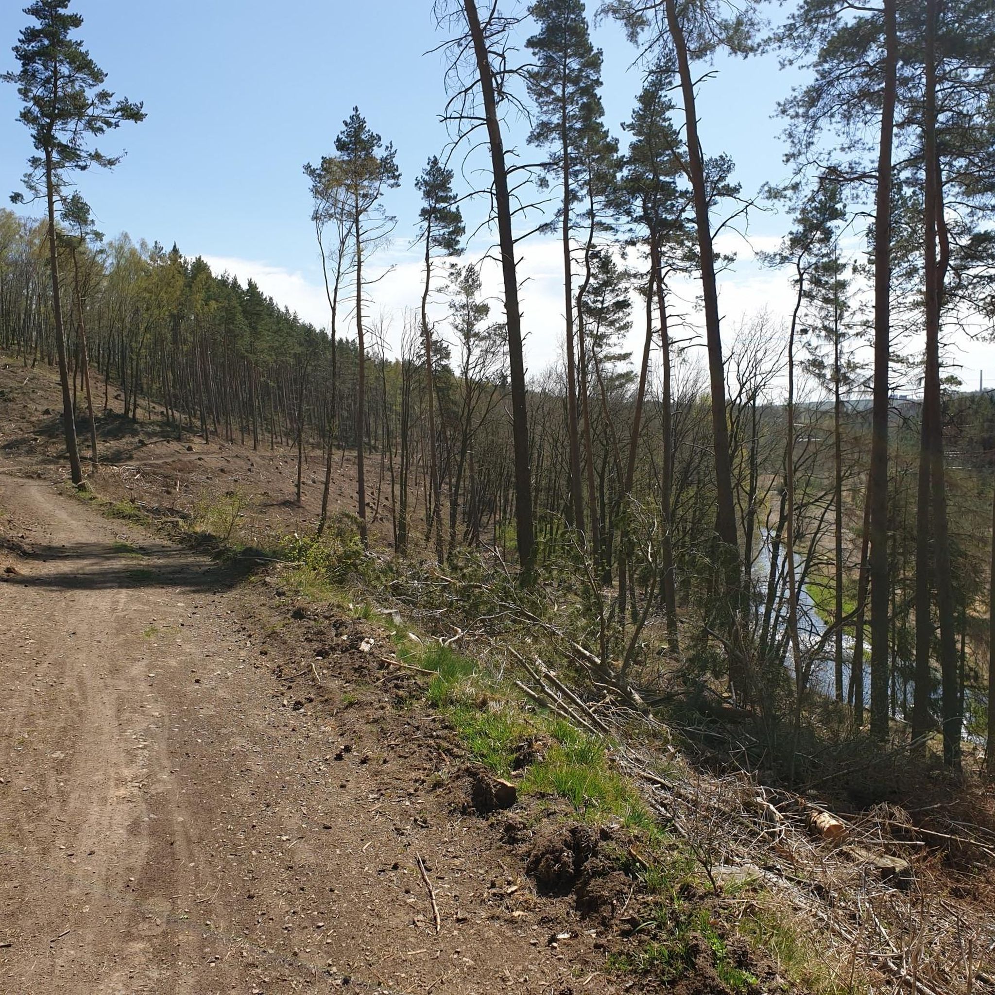
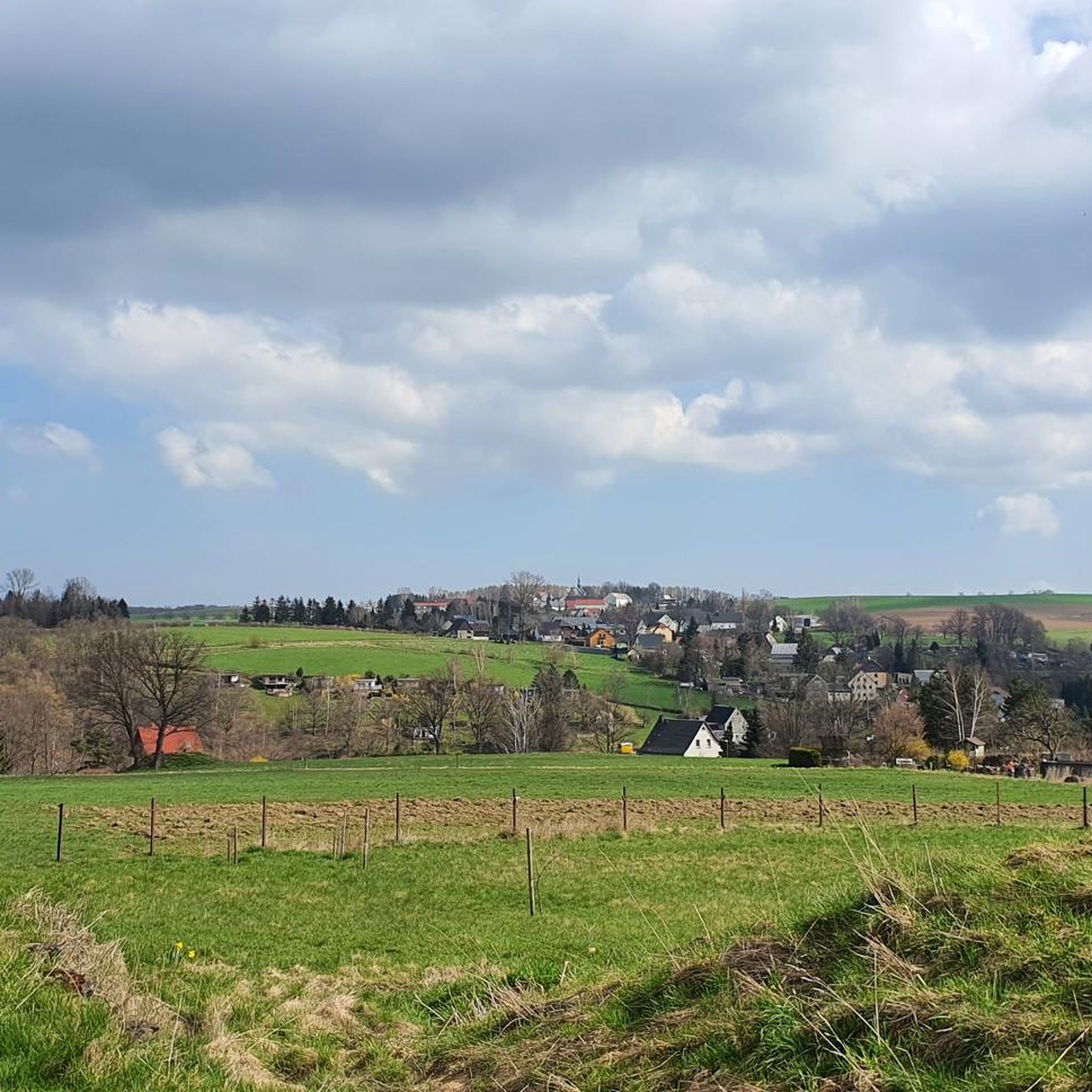
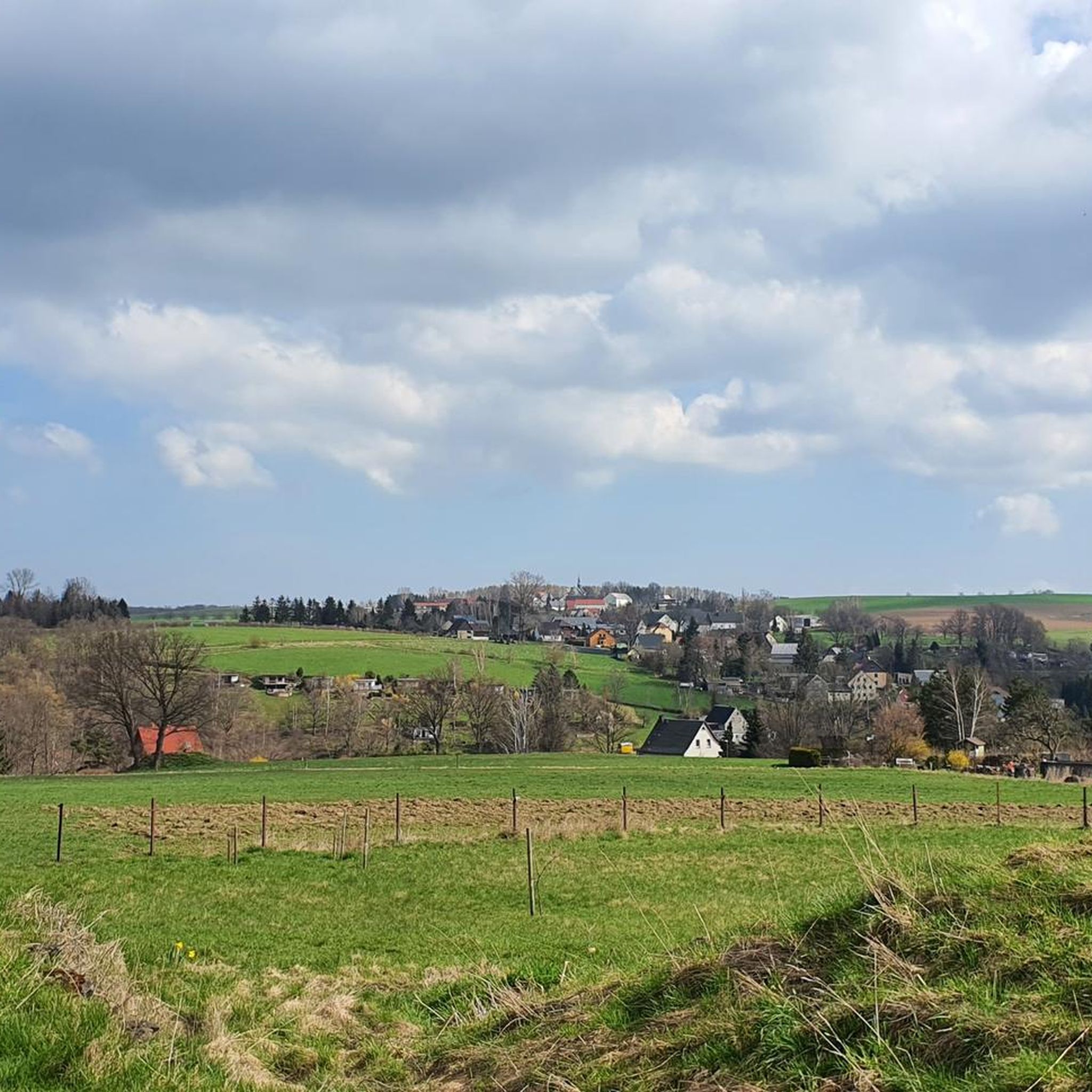
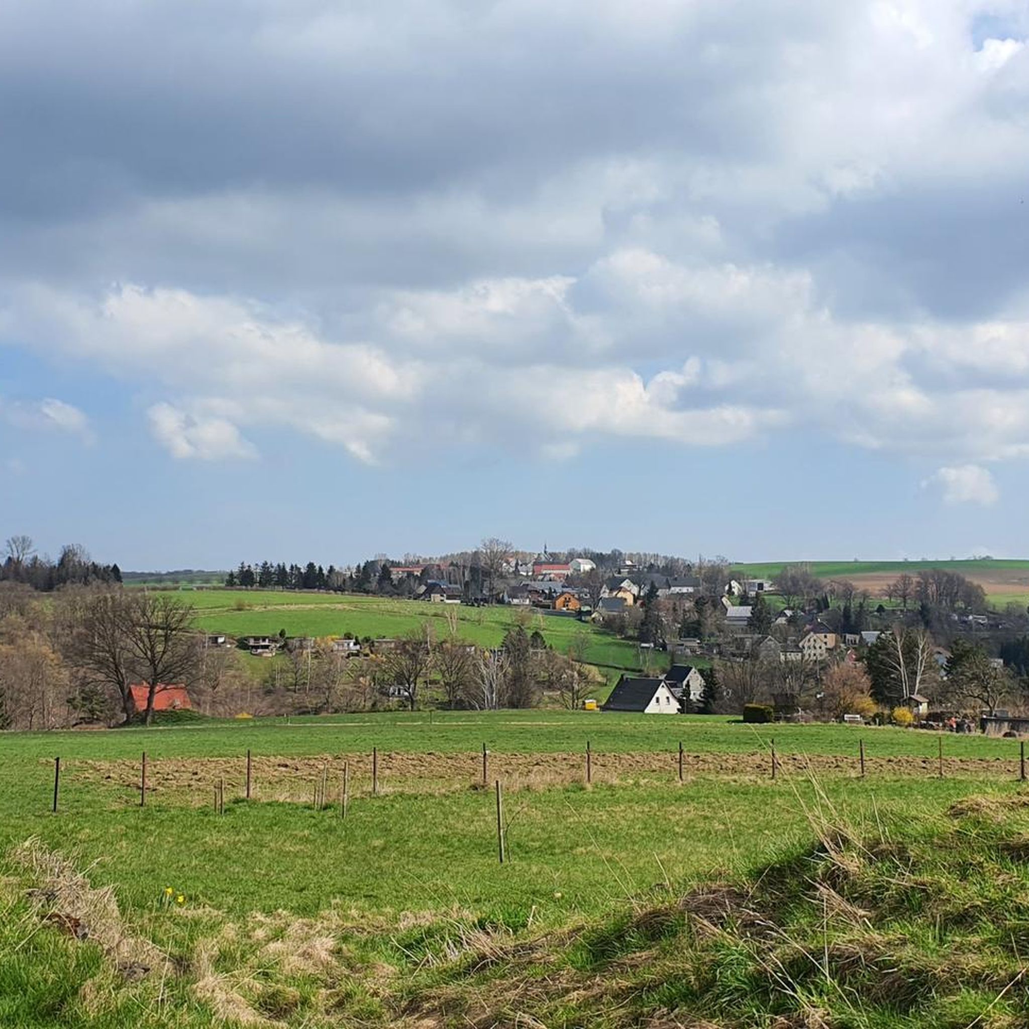

Tips from the Community


The Swedish Monument is located in Albert Park. It was erected to commemorate the siege of the city by the Swedes in 1643. The monument was designed by Professor Eduard Heuchle and erected in 1844. The monument's three statues depict a citizen defending the city, a soldier with lance and sword, and a miner with a miner's axe. A miner's axe (Barte) is a pointed axe with a long handle. https://www.goruma.de/staedte/freiberg/sehenswuerdigkeiten
1
1
The monument consists of a rectangular stone standing on a pedestal. A triangular gable crowns the top. It dates from 1910 and commemorates the chemist Clemens Winkler (1838-1904), who discovered, among other things, the element germanium. It is located at the Kreuzteich pond, not far from the Krügerhaus. https://www.goruma.de/staedte/freiberg/sehenswuerdigkeiten
0
1

House on the Graben Tour Wünschmannmühle
1
0

Forest meditation area with seating, in the Tharandt Forest at clearing 21.
1
0


The Wünschmann Mill is a listed building and belongs together with the weir and the two-field arched sandstone bridge. This is where the Grabentour begins in the direction of Reinsberg. The Krummenhennersdorf Mill was first mentioned in 1195. In 1460 it was granted the privilege of delivering bread to Freiberg, and in 1637 bread could be sold from the mill. The current mill building was built after the fires of 1900 and 1910. The mill was shut down in 1980 and the bakery closed in 1985. Today the mill with the mill technology from around 1922 is a technical monument and museum. [Info from the same highlight for hikers]
1
0
Frequently Asked Questions
How many running routes are available around Halsbrücke?
There are over 25 dedicated running routes around Halsbrücke listed on komoot, offering a variety of experiences for different skill levels. These include 2 easy routes, 19 moderate routes, and 4 more challenging trails.
What kind of terrain can I expect on the running trails in Halsbrücke?
Jogging routes in Halsbrücke offer diverse terrain, ranging from scenic riverside paths along the Freiberger Mulde river to more challenging trails with varied elevation. The area's elevation ranges from approximately 296 to 375 meters above sea level, providing a mix of flat sections and gentle inclines.
Are there any family-friendly running routes in Halsbrücke?
While specific 'family-friendly' routes aren't explicitly categorized, many of the easier and moderate paths along the Freiberger Mulde river or the Cycle path on the old Potschappel–Nossen railway line would be suitable for families. These routes often feature gentler gradients and pleasant views, making them enjoyable for all ages.
Can I bring my dog on the running trails around Halsbrücke?
Yes, many of the natural trails and paths around Halsbrücke are suitable for running with dogs. It's always recommended to keep your dog on a leash, especially in nature protection areas or near wildlife, and to be mindful of other trail users. The varied terrain, including forest paths and riverside trails, offers plenty of space for you and your canine companion.
What interesting landmarks or natural features can I see while running in Halsbrücke?
Halsbrücke's running routes are rich with points of interest. You might encounter historical mining sites, parts of the Rothschönberger Stolln, or the impressive 140-meter-high Hohe Esse. Natural features include the picturesque Freiberger Mulde river and the untouched Bobritzschtal. The route View of Altes Geschrei – Reiche Zeche Shaft loop from Halsbrücke passes by historical mining sites, and the Hammer Bridge (Freiberg) – Turmhof Hilfsstolln loop from Halsbrücke offers views of the Hammer Bridge and industrial structures.
Are there any circular running routes in the Halsbrücke area?
Yes, many of the running routes around Halsbrücke are designed as circular loops, allowing you to start and finish at the same point. Examples include the popular View of Altes Geschrei – Reiche Zeche Shaft loop from Halsbrücke and the Forest Chapel loop from Hetzdorf, which takes you through woodland.
What is the best time of year for running in Halsbrücke?
Halsbrücke offers enjoyable running conditions throughout much of the year. Spring and autumn provide pleasant temperatures and beautiful scenery with blooming nature or vibrant fall colors. Summer is also great, especially for riverside paths, though it can be warmer. Winter running is possible, but some trails might be icy or snowy, requiring appropriate gear.
What do other runners enjoy most about jogging in Halsbrücke?
The running routes in Halsbrücke are highly rated by the komoot community, with an average score of 4.5 stars from over 10 reviews. Runners often praise the diverse terrain, the blend of natural beauty with historical industrial heritage, and the variety of options for different ability levels. Over 150 runners have used komoot to explore the area's trails.
Are there any challenging running trails for experienced runners?
Yes, for experienced runners seeking a challenge, Halsbrücke offers several difficult routes. For instance, the Schwanenschlösschen Freiberg – Brauhaus am Bahnhof Halsbrücke loop from Halsbrücke is a longer, more demanding route with significant elevation changes. Additionally, the Brüderweg Cliffside Trail, while primarily a hiking path, offers an adventurous and challenging backdrop for trail running with narrow passages and auxiliary ropes.
Where can I find parking near the running routes in Halsbrücke?
While specific parking locations for each route are not detailed here, Halsbrücke is a municipality with various access points. It's generally advisable to look for public parking areas within the town or near the starting points of popular trails. Many routes, being loops, often start and end in areas with convenient access.
Are there any cafes or pubs near the running trails for a post-run refreshment?
Yes, the region offers options for refreshments. For example, the Klingenberg Dam, a notable landmark, features a beer garden that could be a pleasant stop after a run. Within Halsbrücke and surrounding villages, you can find local cafes and pubs to relax and refuel.
What is the elevation gain like on the running routes in Halsbrücke?
The elevation in the Halsbrücke area ranges from approximately 296 to 375 meters above sea level, meaning routes can feature varied elevation gains. For example, the Schwanenschlösschen Freiberg – Brauhaus am Bahnhof Halsbrücke loop from Halsbrücke has an elevation gain of over 140 meters, providing a good workout. Other routes, like the View of Altes Geschrei – Reiche Zeche Shaft loop from Halsbrücke, have more moderate gains of around 86 meters.
Most popular routes around Halsbrücke
Most popular attractions around Halsbrücke

Get inspired with the komoot mobile app


Explore more
Browse the best Running Trails & Routes in other regions.
