The best walks and hikes around Broussey-Raulecourt
4.2
(127)
628
hikers
35
hikes
Hiking around Broussey-Raulecourt offers trails through the Parc Naturel Régional de Lorraine, characterized by dense forests and historical sites. The landscape features rolling terrain with moderate elevation changes, providing varied hiking experiences. Many routes traverse woodlands and open areas, including remnants of First World War trenches. The region's trails provide opportunities to explore both natural scenery and historical landmarks.
Best hiking trails around Broussey-Raulecourt
- The most popular hiking route is La croix des Redoutes and the trenches of the First…
Last updated: July 8, 2026
4.3
(8)
17
hikers
Moderate hike. Good fitness required. Easily-accessible paths. Suitable for all skill levels.
8
hikers
Moderate hike. Good fitness required. Easily-accessible paths. Suitable for all skill levels.

Sign up for free
4.0
(3)
9
hikers
8.94km
02:29
170m
170m
Hike a moderate 5.6-mile (8.9 km) loop from Corniéville to the historic Former Rangéval Abbey and through Rangéval State Forest.
4.3
(3)
10
hikers
19.5km
05:22
310m
310m
Hard hike. Very good fitness required. Easily-accessible paths. Suitable for all skill levels.
3.4
(5)
16
hikers
8.85km
02:16
40m
40m
Moderate hike. Good fitness required. Easily-accessible paths. Suitable for all skill levels.
Get access to more routes and recommendations from other explorers.
Sign up for free
Already have an account?
Our route recommendations are based on thousands of hikes, rides, and runs completed by other people on komoot.
Start today with a free account
Your next adventure awaits.
Login or Signup




Tips from the Community

Very beautiful place in the forest. Numerous gravel paths ranging from smooth white paths to rougher trails.
0
0

Very long front lines of trenches; today only a few remnants remain.
1
0
It's impressive how many kilometers of trenches there were in the forest. The war in the trenches was very strenuous, and many soldiers fought until they were exhausted.
1
0
Very long front lines of trenches; today, the forest has grown back on the other side. During the war, not a single tree remained. It was very impressive how many kilometers of trenches there were in the forest, with shell holes every few meters.
2
0
Monument in the immediate vicinity of the shooting graves "Tranche de la soif" in memory of the fallen.
2
0
Monument in the immediate vicinity of the shooting graves "Tranche de la soif" in memory of the fallen.
2
0
The path runs along trenches and past the remains of fortresses.😎
2
0
The circuit runs in this historical place, and despite the surrounding nature very well preserved, both lines, French and German trenches, which are only a few meters apart...
3
0
Frequently Asked Questions
How many hiking trails are there in Broussey-Raulecourt?
Broussey-Raulecourt offers a diverse network of over 25 hiking trails. These routes traverse the Parc Naturel Régional de Lorraine, providing varied experiences through dense forests and historical sites.
What kind of terrain can I expect on hikes around Broussey-Raulecourt?
The terrain around Broussey-Raulecourt is characterized by rolling hills and moderate elevation changes within the Parc Naturel Régional de Lorraine. You'll find trails winding through dense woodlands, open areas, and past historical sites, including remnants of First World War trenches.
Are there easy hiking trails suitable for beginners in Broussey-Raulecourt?
Yes, Broussey-Raulecourt has 10 easy hiking trails, perfect for beginners or those looking for a relaxed walk. These routes typically feature gentle slopes and well-maintained paths, allowing you to enjoy the natural beauty without significant challenge.
Are there longer or more challenging hikes available in the area?
For those seeking a greater challenge, Broussey-Raulecourt offers 2 difficult trails. One notable option is the Shelter – German trench loop from Apremont-la-Forêt, which covers nearly 20 km and features significant elevation changes, exploring historical WWI sites.
What historical sites can I explore while hiking in Broussey-Raulecourt?
Many trails in Broussey-Raulecourt lead through significant historical sites, particularly those related to the First World War. You can explore areas like the Trench of Thirst and Ailly Wood, or visit the Montsec American Memorial. The La croix des Redoutes and the trenches of the First World War loop is a popular route specifically designed to explore these historical trenches.
Are there any circular walks in Broussey-Raulecourt?
Yes, many of the trails around Broussey-Raulecourt are designed as circular routes, allowing you to start and end at the same point. An example is the Forêt de la Reine — loop from Raulecourt, which takes you through the extensive Queen's Forest.
What natural attractions can I see near the hiking trails?
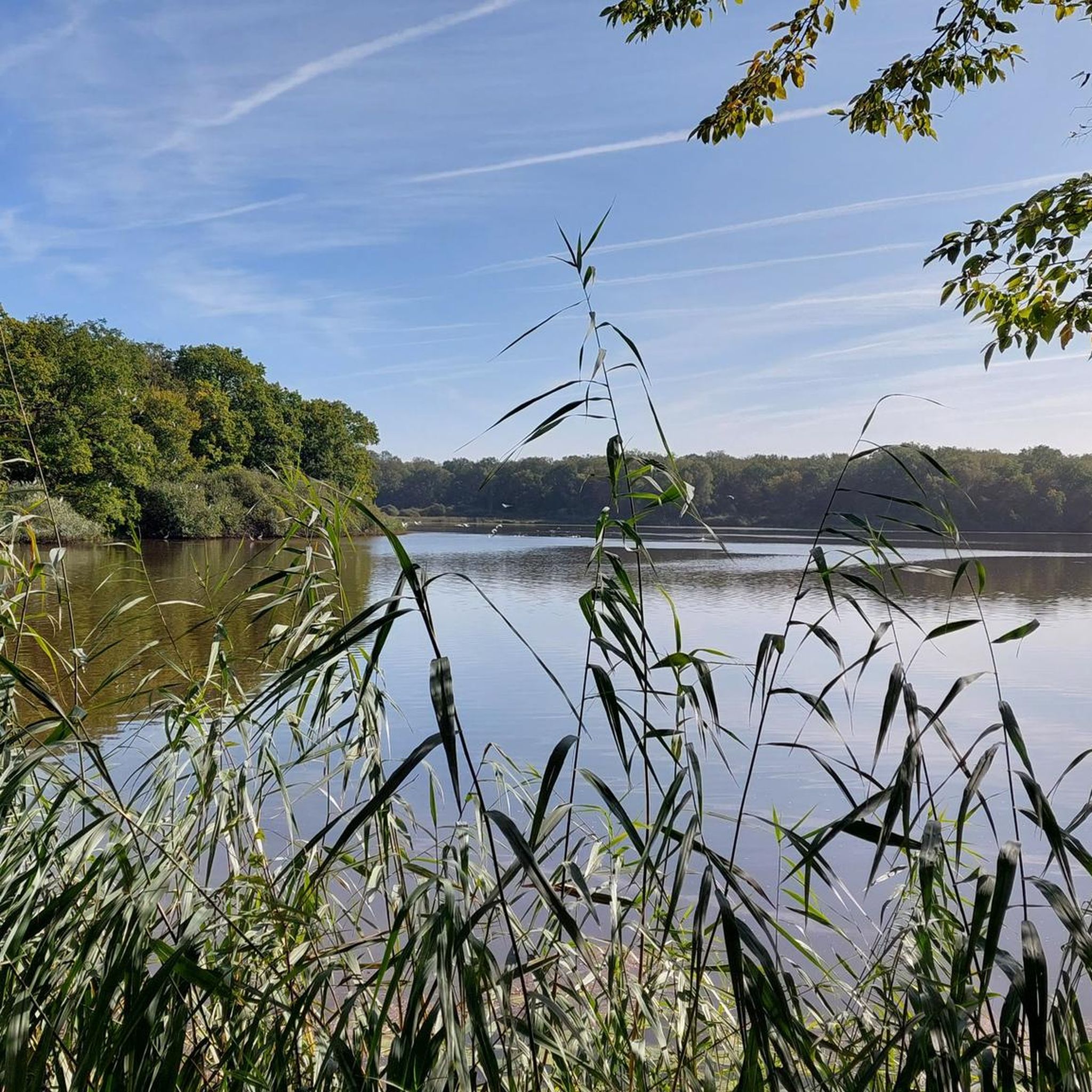
Beyond the forests, you can discover several natural attractions. The ponds of the Queen's forest and the Neuf-étang des Mandres offer serene waterscapes. The Neuf Pond of Mandres loop from Mandres-aux-Quatre-Tours is a great way to experience this area.
What do other hikers say about the trails in Broussey-Raulecourt?
The trails in Broussey-Raulecourt are highly rated by the komoot community, with an average score of 4.2 stars from over 100 reviews. Hikers often praise the quiet woodlands, the historical significance of the WWI sites, and the well-marked paths that make exploration enjoyable.
Are there any trails that pass by religious or cultural landmarks?
Yes, some routes incorporate cultural landmarks. For instance, the Rangéval Abbey Trail leads through forested areas and past historical points of interest, including the site of the former abbey. You can also find churches like Saint Lucy's Church in nearby villages.
Is Broussey-Raulecourt a good destination for family hikes?
With 10 easy trails and generally moderate terrain, Broussey-Raulecourt offers several options suitable for families. The varied landscape and historical elements can make for an engaging outdoor experience for all ages, though specific routes should be chosen based on the family's fitness level.
What is the best time of year to go hiking in Broussey-Raulecourt?
The best time to hike in Broussey-Raulecourt is typically from spring through autumn (April to October). During these months, the weather is generally mild, and the forests are vibrant with foliage. Autumn offers particularly beautiful colors, while spring brings blooming wildflowers.
Most popular routes around Broussey-Raulecourt
Most popular attractions around Broussey-Raulecourt

Get inspired with the komoot mobile app


Explore more
Browse the best Hikes in other regions.
