The best running trails around Hartmannsdorf-Reichenau
4.6
(178)
1,486
runners
128
runs
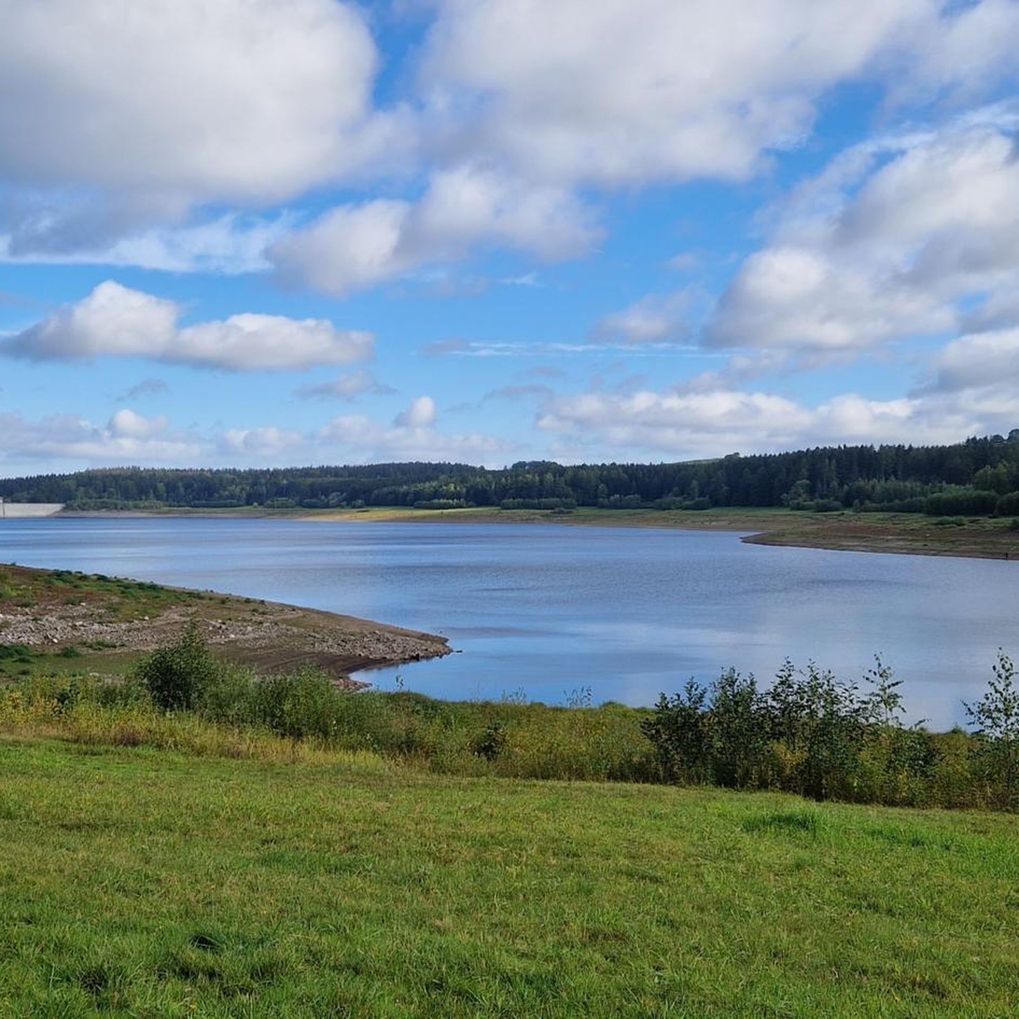
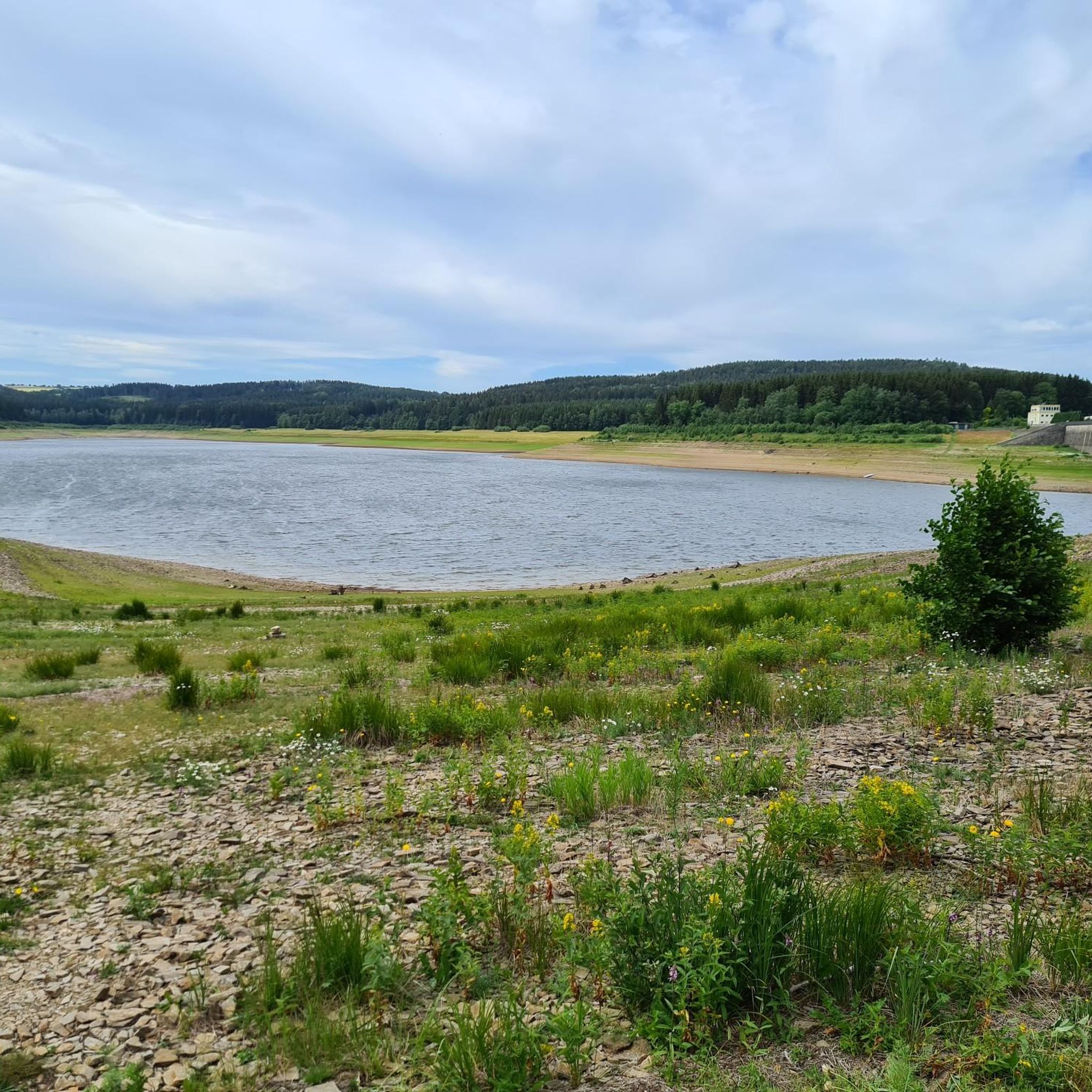
Jogging routes around Hartmannsdorf-Reichenau traverse a landscape characterized by rolling hills, forested areas, and river valleys. The region offers varied terrain, including plateaus and paths alongside water bodies like the Lehnmühle Dam. Elevation changes are common, providing a mix of challenging ascents and gentler stretches suitable for different fitness levels.
Best jogging routes around Hartmannsdorf-Reichenau
- The most popular jogging route is Hysselsberg – Plateau loop from Klingenberg, a 7.8 miles (12.5 km) trail that takes 1 hour 21 minutes…
Last updated: July 8, 2026
4.3
(3)
41
runners
12.5km
01:22
210m
210m
Moderate run. Good fitness required. Mostly paved surfaces. Suitable for all skill levels.
23
runners
8.78km
00:59
150m
150m
Moderate run. Good fitness required. Mostly paved surfaces. Suitable for all skill levels.

Sign up for free
4.0
(1)
6
runners
Moderate run. Good fitness required. Mostly paved surfaces. Suitable for all skill levels.
5.0
(1)
8
runners
17.2km
02:00
300m
300m
Hard run. Very good fitness required. Sure-footedness, sturdy shoes and alpine experience required.
3
runners
Moderate run. Good fitness required. Mostly paved surfaces. Suitable for all skill levels.
Get access to more routes and recommendations from other explorers.
Sign up for free
Already have an account?
Our route recommendations are based on thousands of hikes, rides, and runs completed by other people on komoot.
Start today with a free account
Your next adventure awaits.
Login or Signup
Other adventures around Hartmannsdorf-Reichenau

Tips from the Community

Lichtenberg Dam, not Lehnmühle!
1
0


The dam is expected to be closed for construction work until the end of 2026.
0
0

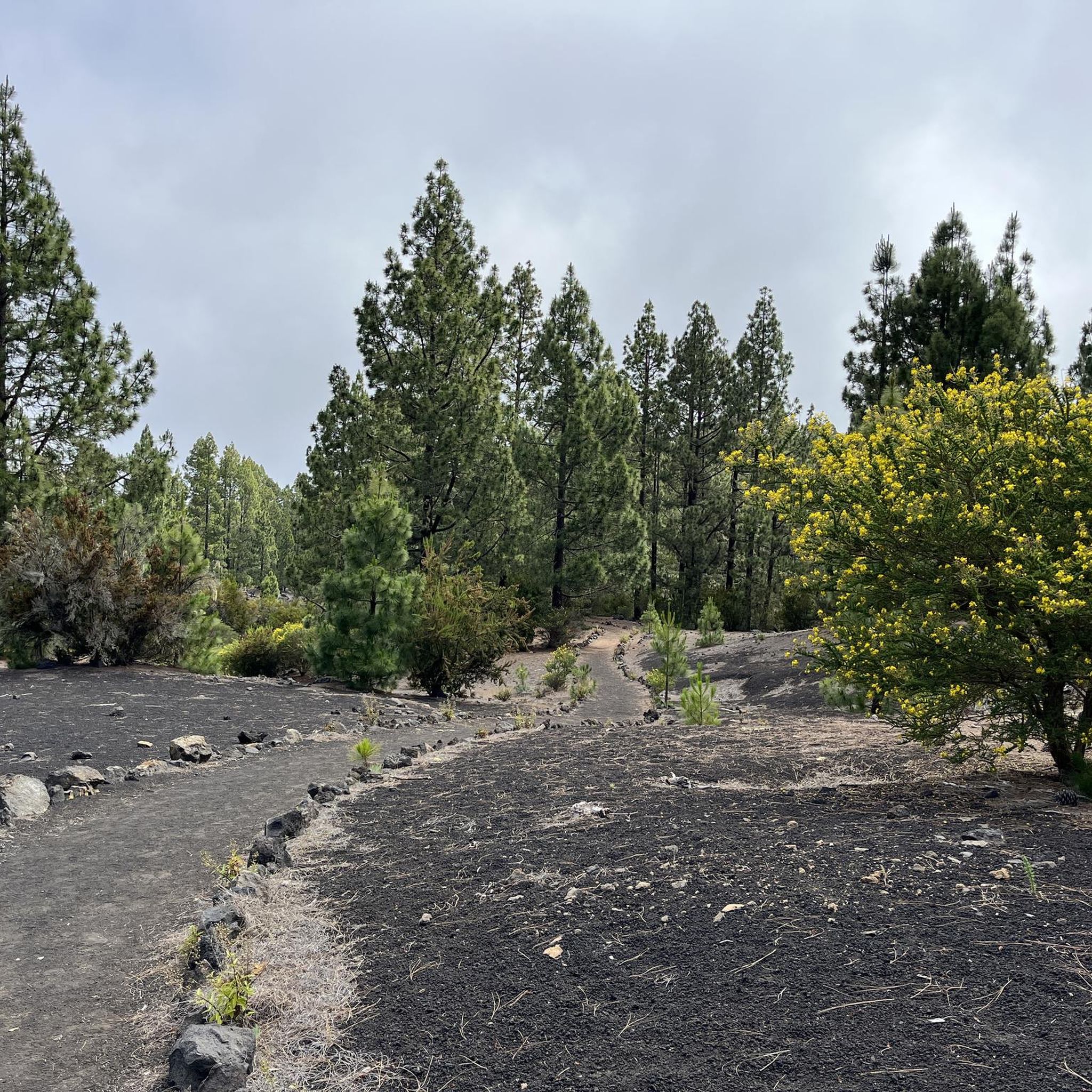
Very nice narrow trail/path between small beech trees, with lots of roots.
0
0
Very nice narrow trail/path with lots of roots.
0
0

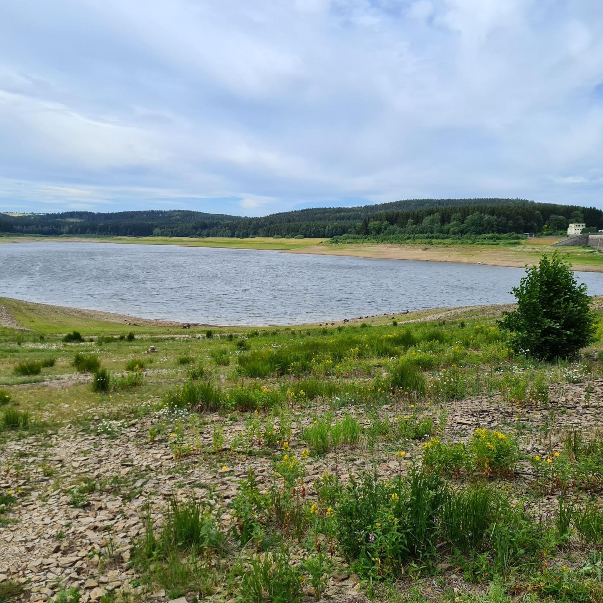
Without water, the dam looks "special" from here.
1
0

At low tide, the "hidden" bridge of the old road becomes visible.
0
0

Very worth seeing, you have to see it
0
0
Frequently Asked Questions
How many running routes are available in Hartmannsdorf-Reichenau?
There are over 130 running routes around Hartmannsdorf-Reichenau, offering a wide variety of terrain and distances for all fitness levels.
Are there easy jogging routes suitable for beginners in Hartmannsdorf-Reichenau?
Yes, the region offers 10 easy running routes. These paths are generally flatter and shorter, perfect for those new to jogging or looking for a relaxed run. You can find options that traverse forested areas and gentle plateaus.
What kind of terrain can I expect on the running trails in this region?
The running trails around Hartmannsdorf-Reichenau feature varied terrain, including rolling hills, dense forested areas, and paths alongside river valleys and water bodies like the Lehnmühle Dam. Expect a mix of challenging ascents and gentler stretches across plateaus.
Are there any circular running routes in Hartmannsdorf-Reichenau?
Yes, many of the routes are circular. For example, the Trail at Lehnmühle Dam loop from Hartmannsdorf-Reichenau is a popular moderate 4.8-mile (7.8 km) option that takes you through varied landscapes near the dam.
What are some notable landmarks or attractions I might see while jogging?
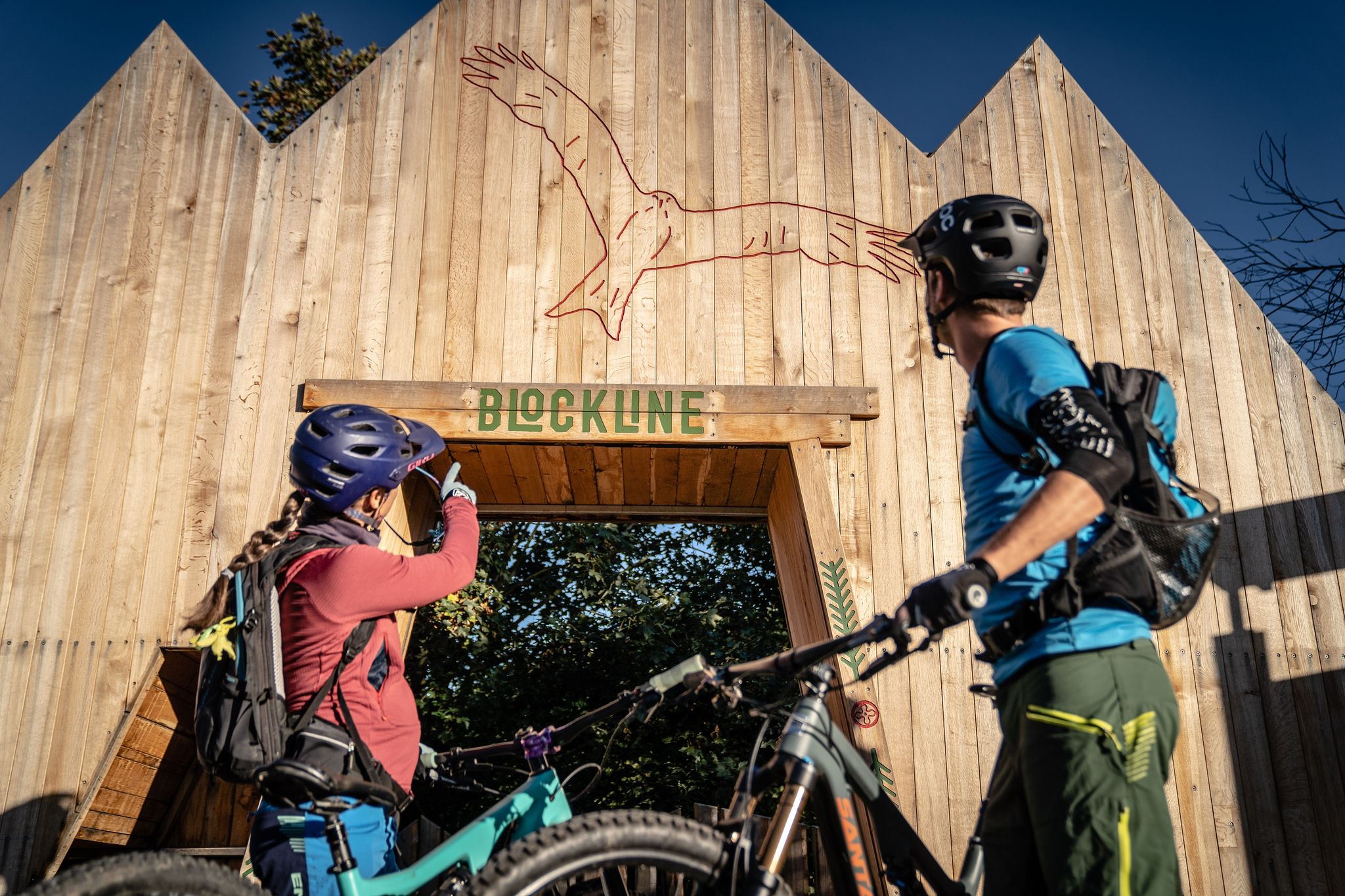
While jogging, you might encounter various natural and man-made attractions. The region is known for its dams and lakes, such as Klingenberg Dam or Lichtenberg Dam. Some routes also pass by interesting points like the BLOCKLINE Black Woodpecker Sculpture.
Can I bring my dog on the running trails?
Many trails in the Hartmannsdorf-Reichenau area are dog-friendly, especially those through forests and open landscapes. However, it's always recommended to check specific route details on komoot for any restrictions, and to keep your dog on a leash, especially near wildlife or agricultural areas.
Are there any family-friendly running paths in the area?
Yes, there are several running paths suitable for families, particularly the easier routes with less elevation gain. These often follow wider, well-maintained paths through forests or along dam shores, providing a pleasant experience for all ages.
What do other runners enjoy most about jogging in Hartmannsdorf-Reichenau?
The komoot community highly rates the running experience here, with an average score of 4.5 stars from over 160 reviews. Runners often praise the diverse scenery, from forested hills to scenic dam paths and open plateaus, and the variety of options catering to different ability levels.
When is the best time of year to go jogging in Hartmannsdorf-Reichenau?
Spring, summer, and autumn generally offer the most pleasant conditions for jogging in Hartmannsdorf-Reichenau, with mild temperatures and vibrant scenery. However, the region's varied terrain also provides options for winter running, especially on well-maintained paths, though conditions can vary.
Are there any longer, more challenging running routes for experienced runners?
Yes, for experienced runners seeking a challenge, there are 29 difficult routes available. An example is the Inlet to the Reservoir – Stone Bridge Over Stream loop from Frauenstein, a demanding 10.7-mile (17.2 km) trail with significant elevation changes.
Is public transport available to access the running routes?
While some starting points might be accessible by local bus services, many routes in the more rural parts of Hartmannsdorf-Reichenau are best reached by car. It's advisable to check local public transport schedules and route access points in advance.
Are there places to eat or drink near the running trails?
Yes, you can find places to refuel. For instance, the Fischerbaude and Bärenfels Nature Hotel & Inn are examples of establishments that might be found near some routes, offering refreshments or meals.
Most popular routes around Hartmannsdorf-Reichenau
Most popular attractions around Hartmannsdorf-Reichenau

Get inspired with the komoot mobile app


Explore more
Browse the best Running Trails & Routes in other regions.
