The best walks and hikes around Ainet
4.5
(843)
5,435
hikers
17
hikes
Hiking around Ainet offers access to diverse landscapes within the Osttirol region of Austria. The area is characterized by rugged mountain peaks, vast alpine meadows, and dense larch forests, situated near the confluence of the Iseltal Valley. The glacial River Isel flows through the village, and the region serves as a gateway to the Hohe Tauern National Park, Central Europe's largest nature reserve. Impressive mountain ranges like the Schober Group and the Lienz Dolomites provide a dramatic backdrop and varied…
Last updated: October 4, 2026
5.0
(3)
47
hikers
11.5km
07:10
1,190m
1,190m
Hard hike. Very good fitness required. Sure-footedness, sturdy shoes and alpine experience required.
4.8
(12)
45
hikers
18.9km
07:05
1,270m
1,270m
Hard hike. Very good fitness required. Easily-accessible paths. Suitable for all skill levels.

4.5
(6)
36
hikers
8.04km
02:07
70m
70m
Moderate hike. Good fitness required. Easily-accessible paths. Suitable for all skill levels.
4.7
(9)
47
hikers
12.4km
03:15
90m
90m
Moderate hike. Good fitness required. Easily-accessible paths. Suitable for all skill levels.
4.1
(9)
34
hikers
11.6km
03:01
80m
80m
Moderate hike. Good fitness required. Easily-accessible paths. Suitable for all skill levels.
Get access to more routes and recommendations from other explorers.
Already have an account?
Our route recommendations are based on thousands of hikes, rides, and runs completed by other people on komoot.
Start today with a free account
Your next adventure awaits.
Popular around Ainet

Mountain pastures and local dishes — hiking to the Tyrolean alpine huts
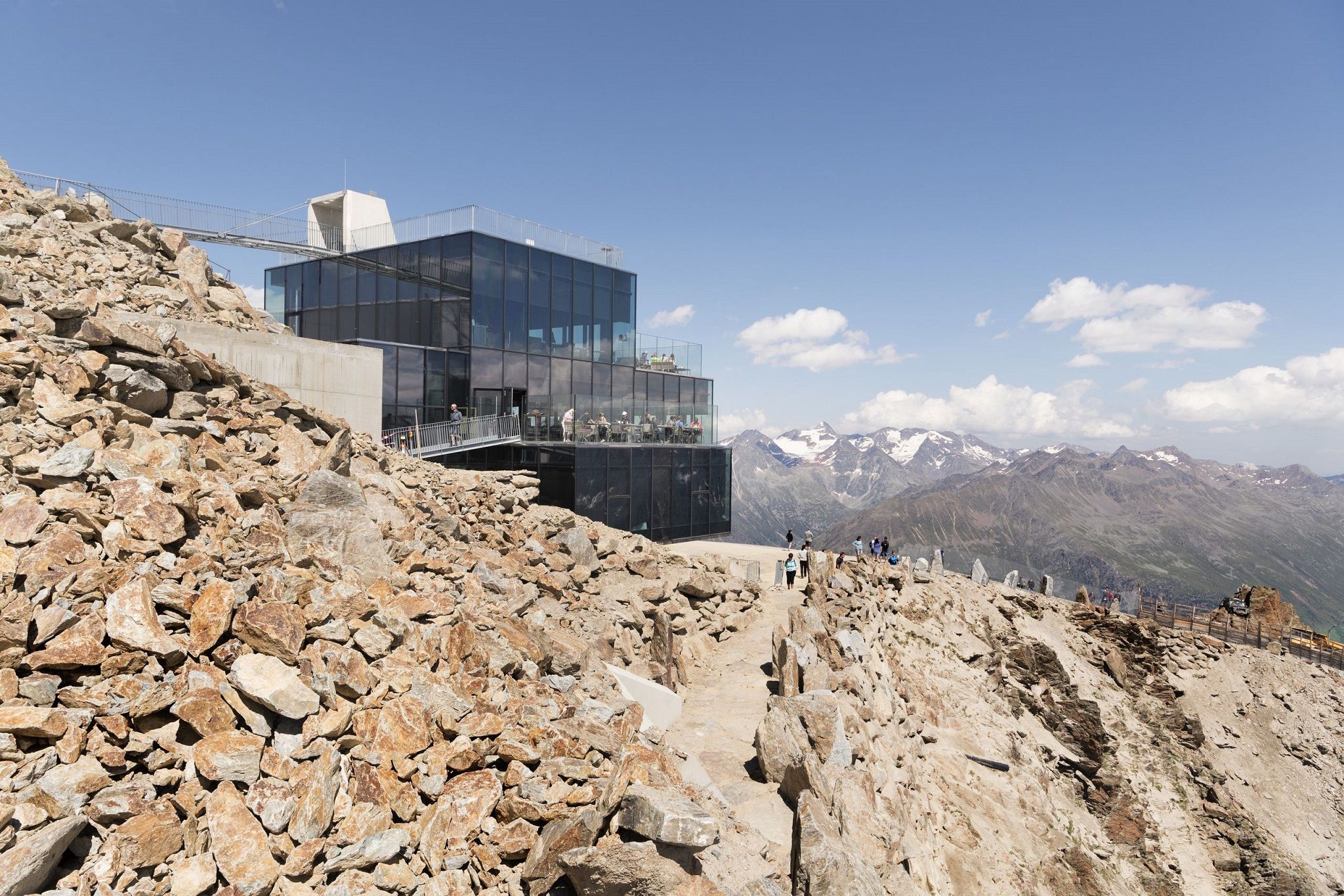
Delicious food and scenic mountains – Hikes for foodies in Tyrol

Alles außer gewöhnlich – Tirol für Genießer
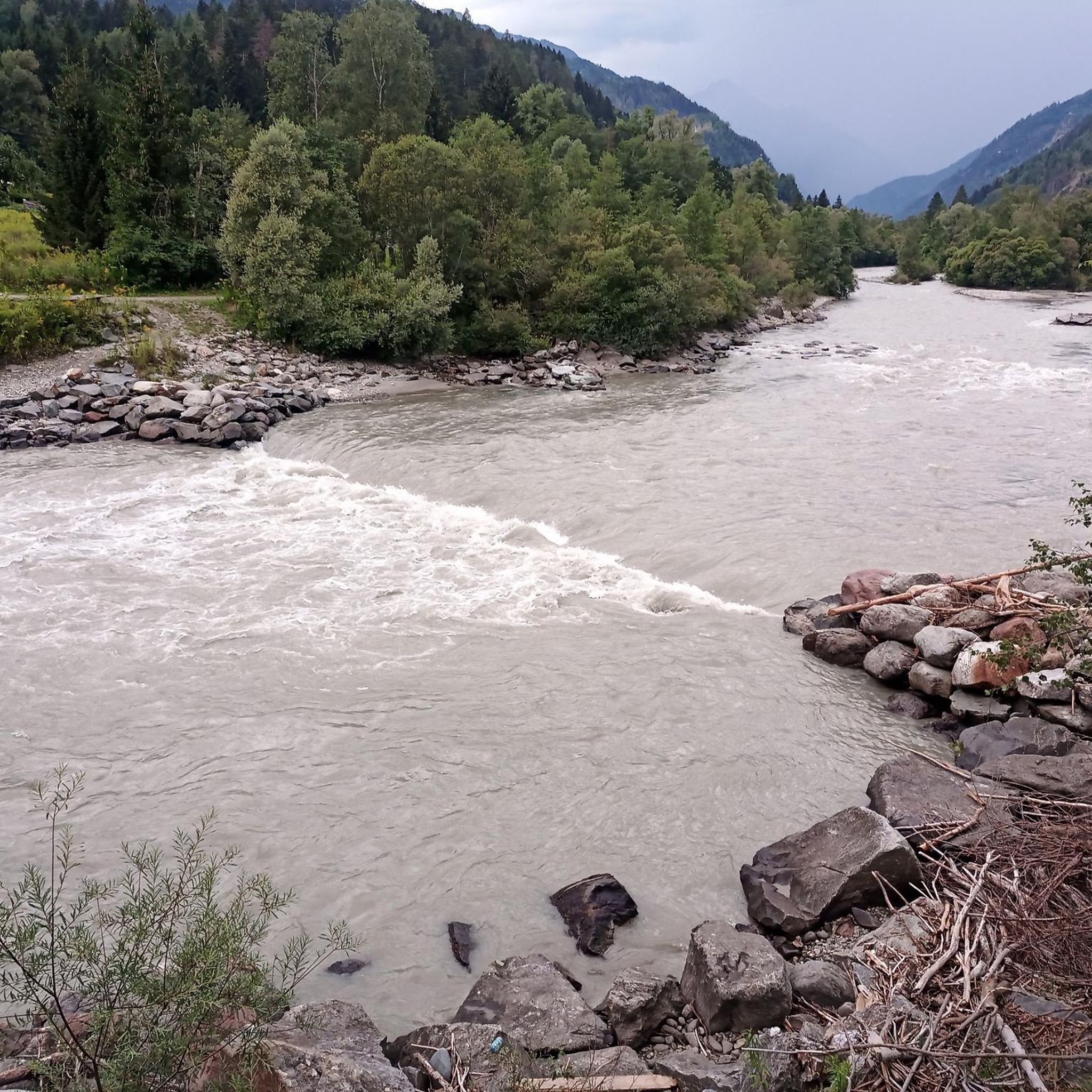
MTB Trails around Ainet
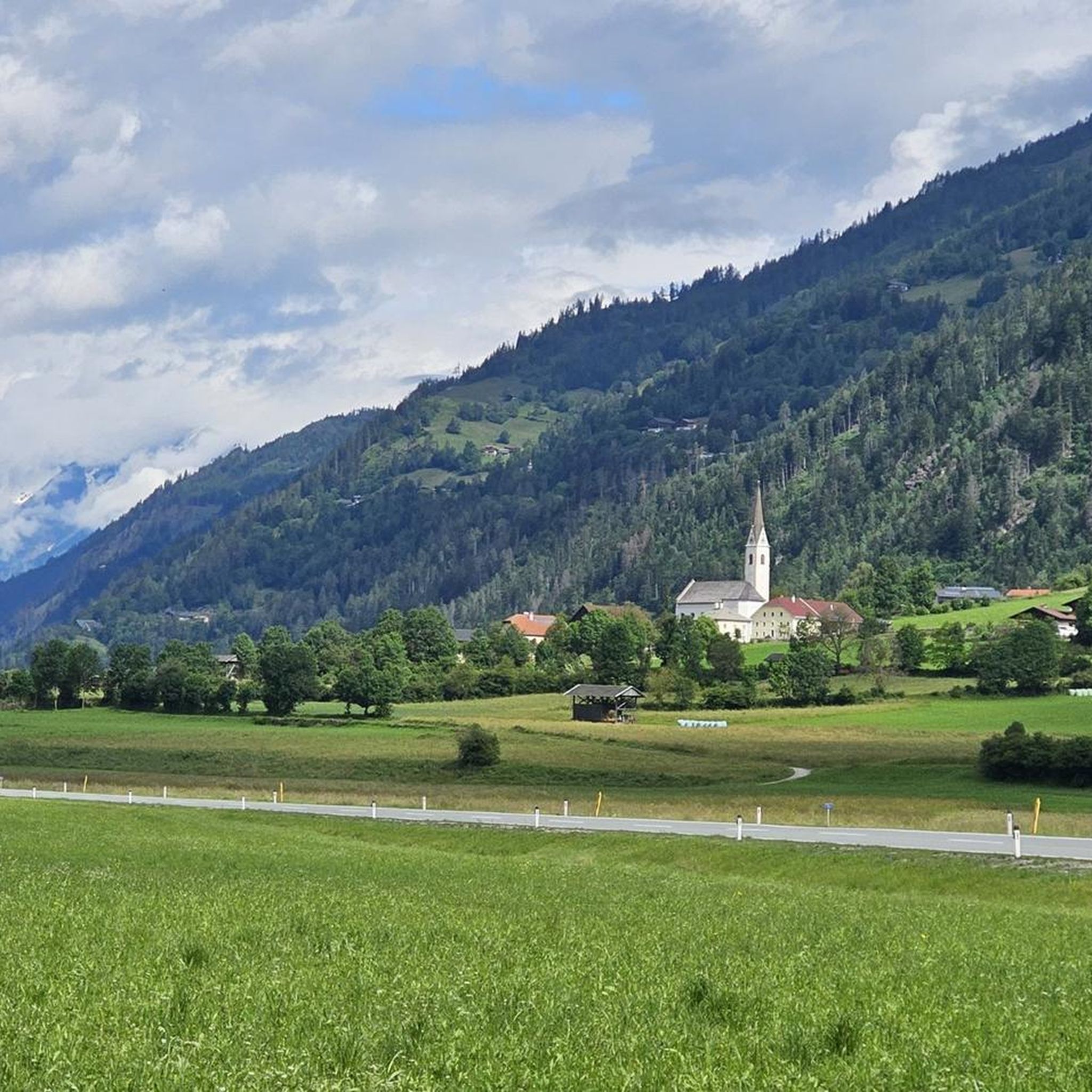
Cycling around Ainet
Road Cycling Routes around Ainet
Mountain Hikes around Ainet
Running Trails around Ainet

Gravel biking around Ainet

Tips from the Community

It is NOT recommended to ascend or descend the Hochschober from the eastern route, as the terrain here poses a life-threatening danger due to various mudflows and rockfall (even for experienced mountaineers). Although it is said to be passable, it should urgently not be done. Via the western route up to the summit, there are some challenging climbing sections, which are however manageable.
0
0
Very nice hut without showers, but you can bathe well in the stream. The food is amazing, I've rarely eaten anything so delicious, absolutely top-notch.
0
0

magnificent view, but a strenuous, stony path
0
0


At the end of the forest path is this old, rustic bridge that leads to the Hochschober Hut.
0
0

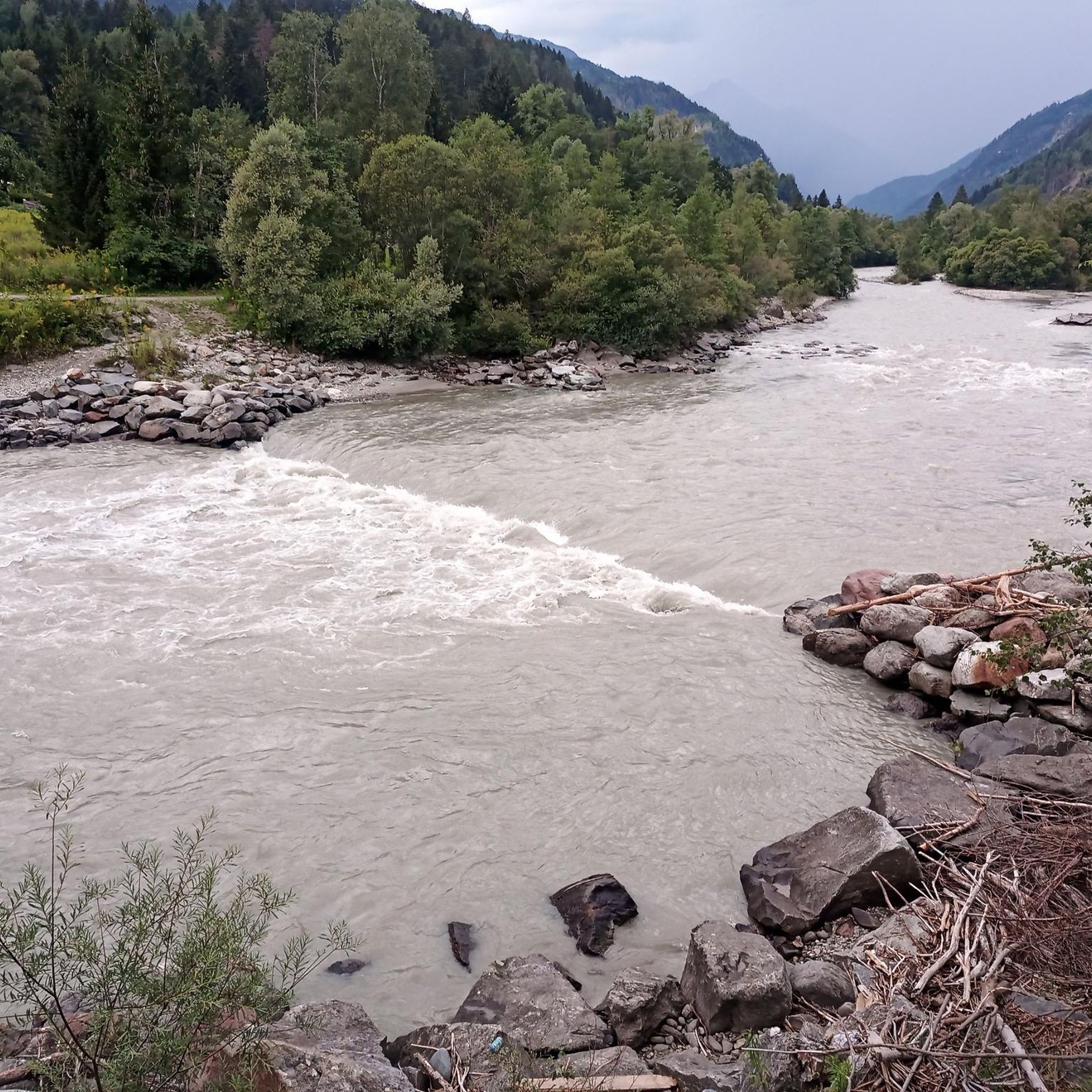
Very natural paths through the floodplain landscape with the rare tamarisks.
0
0

Quiet, tranquil places in this area of the Isel.
0
0
In this area there are always wonderful rest and bathing places in quiet bays or side arms.
0
0
Frequently Asked Questions
How many hiking trails are available around Ainet?
Ainet offers a network of nearly 20 hiking trails, catering to various skill levels. You'll find everything from easy strolls along the valley floor to challenging alpine excursions into the surrounding mountains.
What kind of terrain can I expect on hikes around Ainet?
The terrain around Ainet is incredibly diverse. You can expect rugged mountain peaks, vast alpine meadows, and dense larch forests. The glacial River Isel also carves through the landscape, offering paths along its wild banks. Trails can range from well-maintained paths to rocky, high-alpine routes, especially in areas like the Schober Group and Lienz Dolomites.
Are there any family-friendly hiking options in Ainet?
Yes, Ainet offers several family-friendly options. The Fresh water spring in Ainet – Aktivpark Ainet loop from Ainet is a moderate 4.8-mile trail that leads through local village and park areas. The region also features theme trails like the 'Water. Wonder. World. Theme Trail' in Debanttal and the 'Zedlacher Paradies' through an enchanting larch forest, which are great for children.
Can I bring my dog on the hiking trails in Ainet?
Many trails in Ainet are dog-friendly, but it's always advisable to keep your dog on a leash, especially in nature protection areas and near grazing livestock. Always carry waste bags and ensure your dog has enough water, particularly on longer or more exposed routes.
What are some notable natural attractions or viewpoints along the trails?
Ainet is surrounded by stunning natural beauty. You can find magnificent views of the Hochschober and other mountains in the Schober group on routes leading to the Hochschoberhütte. The Alkuser See loop from Ainet offers panoramic views of the surrounding mountains. For unique glacial scenery, consider exploring the Hohe Tauern National Park, which is accessible from Ainet. You can also visit highlights like View of the Großglockner or the Peischlachtörl mountain pass.
Are there any circular hiking routes around Ainet?
Yes, Ainet has several excellent circular routes. The Hochschoberhütte – Gartlsee loop from Niederer Prijakt is a challenging alpine circuit. For a scenic, moderate option, consider the Iseltrail – Lower Isel River Beaches loop from Ainet, which offers a unique adventure along the glacial river.
What is the best time of year to go hiking in Ainet?
The best time for hiking in Ainet is typically from late spring to early autumn (May to October). During these months, the weather is generally mild, and the trails are free of snow, allowing access to high-alpine routes. Autumn is particularly beautiful when the larch forests turn golden.
Are there opportunities for winter hiking in Ainet?
While Ainet transforms into a snow paradise in winter, offering a different kind of beauty, many high-alpine hiking trails become inaccessible or require specialized equipment and experience. However, lower elevation paths and cleared winter walking trails may be available for gentler winter excursions. Always check local conditions before heading out.
What do other hikers enjoy most about hiking in Ainet?
The area is highly rated by the komoot community, with an average score of 4.5 stars from over 680 reviews. Hikers often praise the diverse landscapes, from rugged peaks to serene riverbanks, and the well-maintained network of trails that cater to all abilities. The stunning views of the Schober Group and Lienz Dolomites are frequently highlighted.
Where can I find parking for trailheads in Ainet?
Ainet, being a village focused on outdoor activities, typically offers designated parking areas near popular trailheads. Specific parking information can often be found on local tourism websites or within the komoot tour descriptions for individual routes. It's always a good idea to arrive early during peak season.
Are there any huts or cabins where I can stop during longer hikes?
Yes, the region around Ainet has several huts and cabins that provide resting points, refreshments, and sometimes overnight stays for hikers. Notable options include the Dolomitenhütte, Hochsteinhütte, and Lienzer Hut. These can be excellent destinations or waypoints on longer tours.
What is the difficulty level of the Iseltrail near Ainet?
The Iseltrail – Lower Isel River Beaches loop from Ainet is generally considered a moderate hike. It's an easily accessible path suitable for most skill levels, offering a unique adventure along the glacial river without significant elevation gain, making it a popular choice for many hikers.
Most popular routes around Ainet
Most popular attractions around Ainet

Get inspired with the komoot mobile app


Explore more
Browse the best Hikes in other regions.
