The best walks and hikes around Aindling
4.5
(1883)
8,164
hikers
64
hikes
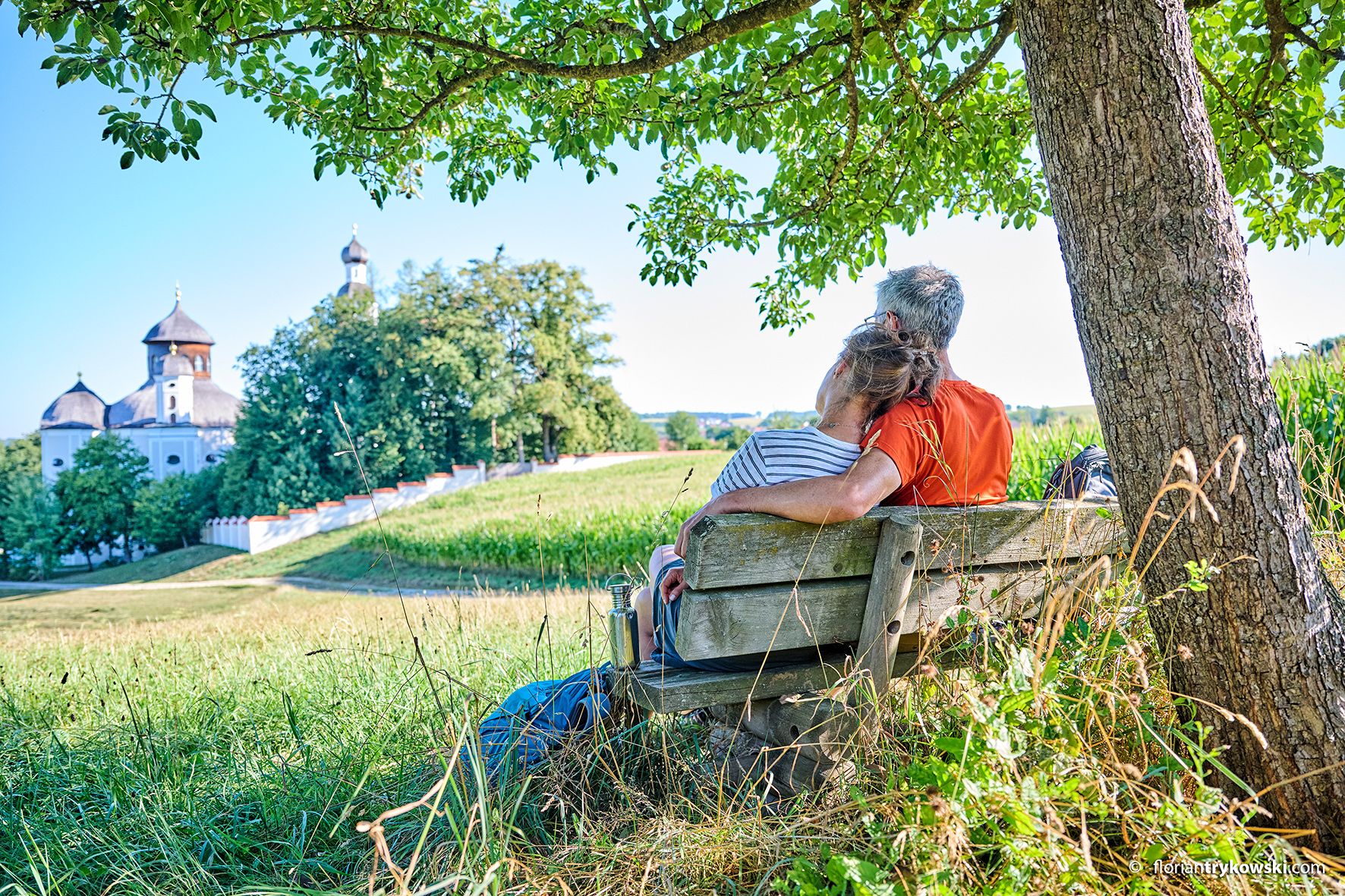
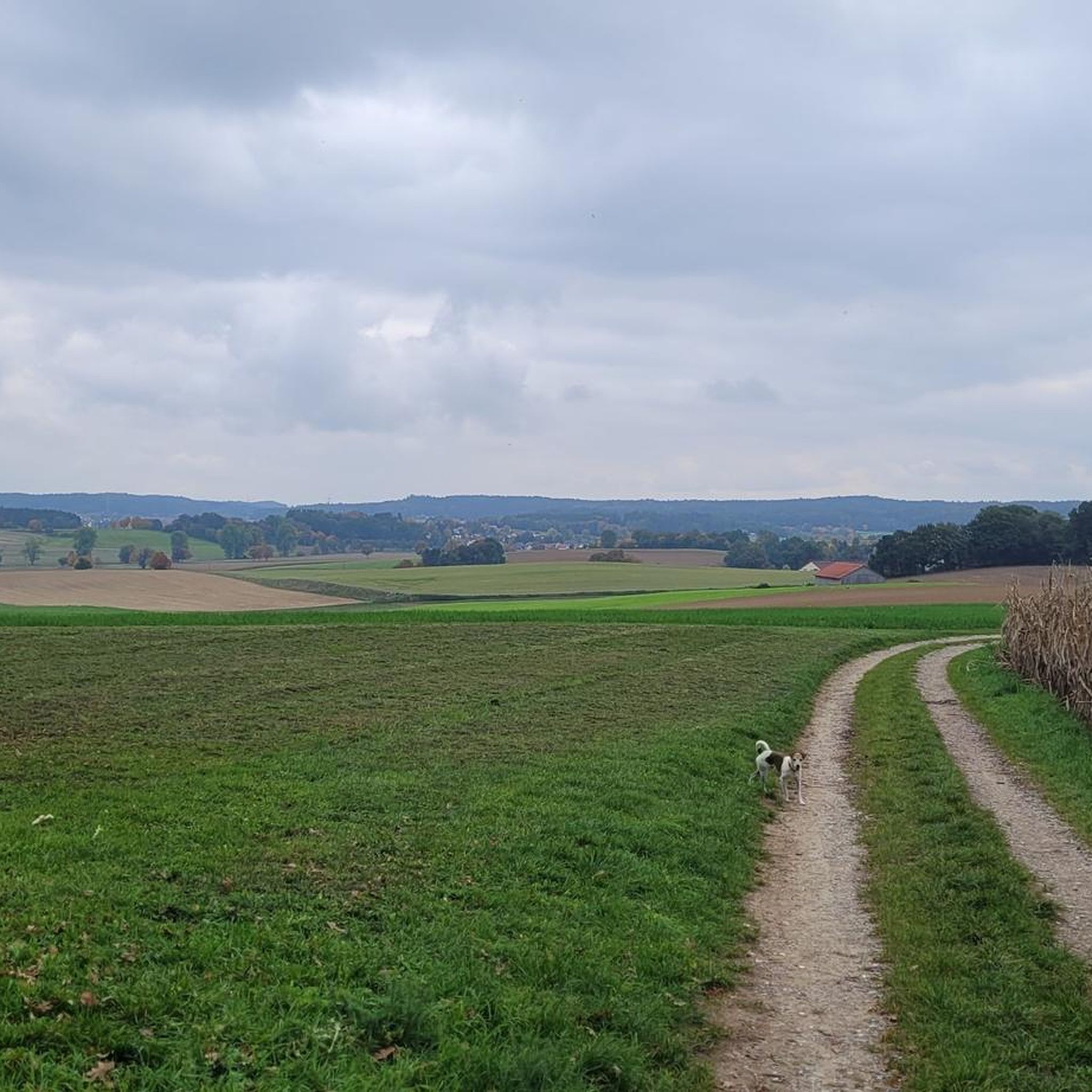
Hiking around Aindling offers a varied landscape characterized by rolling hills, expansive fields, and picturesque forests within the Wittelsbacher Land. The region's terrain includes gentle ascents and descents, providing diverse experiences for hikers. The nearby Lech River also contributes to scenic walks along its banks. This geographical setting ensures a range of routes suitable for different preferences and abilities.
Best hiking trails around Aindling
- The most popular hiking route is Hofmarken loop, a 4.7 miles (7.5 km) trail that…
Last updated: October 12, 2026
4.4
(8)
24
hikers
7.49km
02:02
110m
110m
Moderate hike. Good fitness required. Easily-accessible paths. Suitable for all skill levels.
4.5
(6)
31
hikers
24.9km
06:39
280m
280m
Hard hike. Very good fitness required. Easily-accessible paths. Suitable for all skill levels.

4.4
(5)
25
hikers
25.8km
06:55
310m
310m
Hard hike. Very good fitness required. Easily-accessible paths. Suitable for all skill levels.
3.7
(6)
22
hikers
12.7km
03:21
120m
120m
Moderate hike. Good fitness required. Easily-accessible paths. Suitable for all skill levels.
5.0
(2)
9
hikers
Hard hike. Very good fitness required. Easily-accessible paths. Suitable for all skill levels.
Get access to more routes and recommendations from other explorers.
Already have an account?
Our route recommendations are based on thousands of hikes, rides, and runs completed by other people on komoot.
Start today with a free account
Your next adventure awaits.
Other adventures around Aindling

Tips from the Community

Behind the town hall is the starting point for the annual Cloverleaf March in Aindling at the end of September. It truly deserves a full recommendation!
1
0

The Lech is a right tributary of the Danube. The 256 km long river originates in Vorarlberg in the Hochtannberg region at the confluence of the Spullerbach and Formarinbach streams in the Tannläger valley. It flows through Tyrol and southern Bavaria, where it empties into the Danube. Shortly before the Austrian-German border, it joins the Vils river, forms the artificial Lechfall near Füssen, and crosses Swabia and Upper Bavaria on its way. The largest cities on the Lech are Landsberg and Augsburg; in this city, it receives its largest tributary, the Wertach. The river empties into the Danube near Marxheim. Source: Wikipedia
1
0
The Lech Canal is a non-navigable, left-bank canal of the Lech River. It branches off from the river near Gersthofen and rejoins the river after passing the hydroelectric power plants in Gersthofen, Langweid, and Meitingen. Also known as the LEW Works Canal, it was built in sections between 1898 and 1922 for power generation and flood protection. It is approximately 18 km long and 28 m wide, and is spanned by seven traffic bridges. Source: Wikipedia
2
0

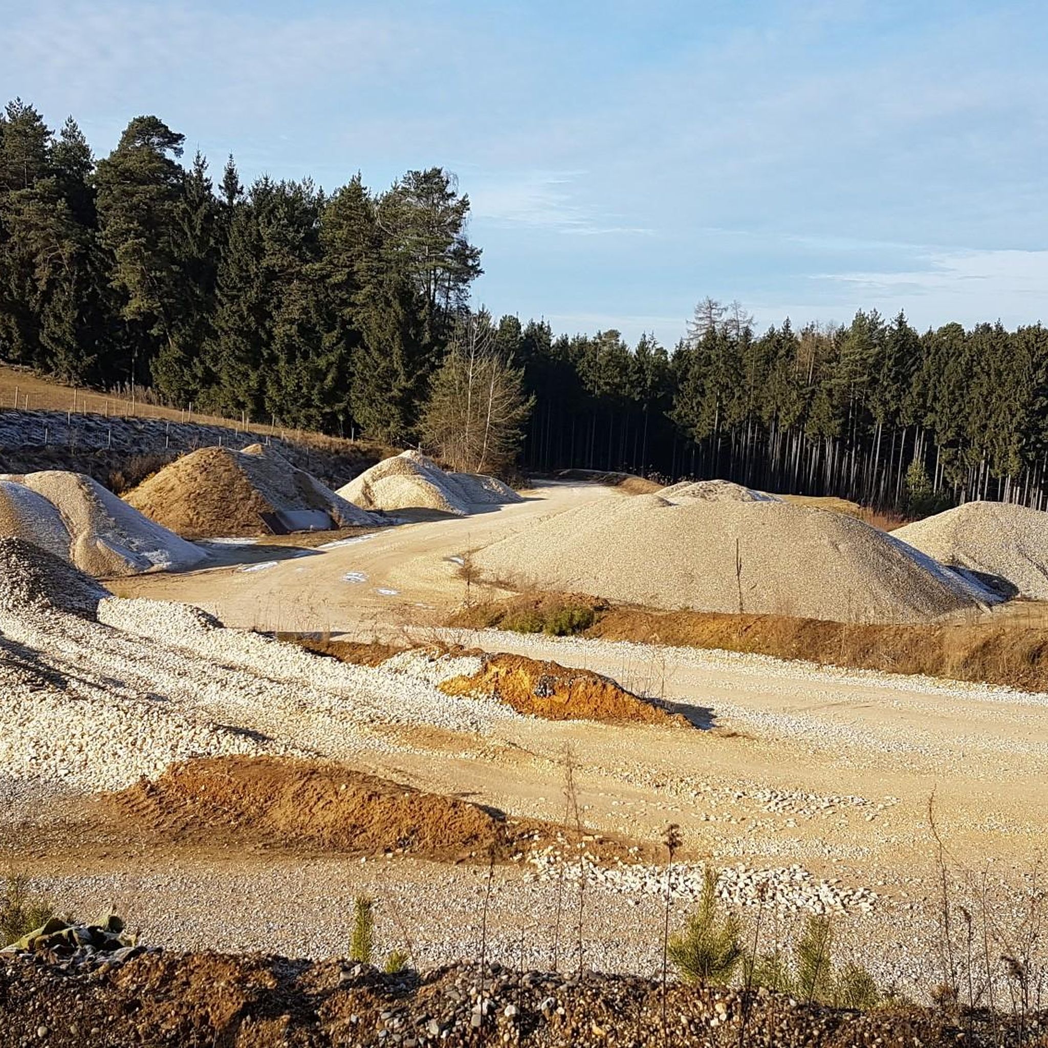
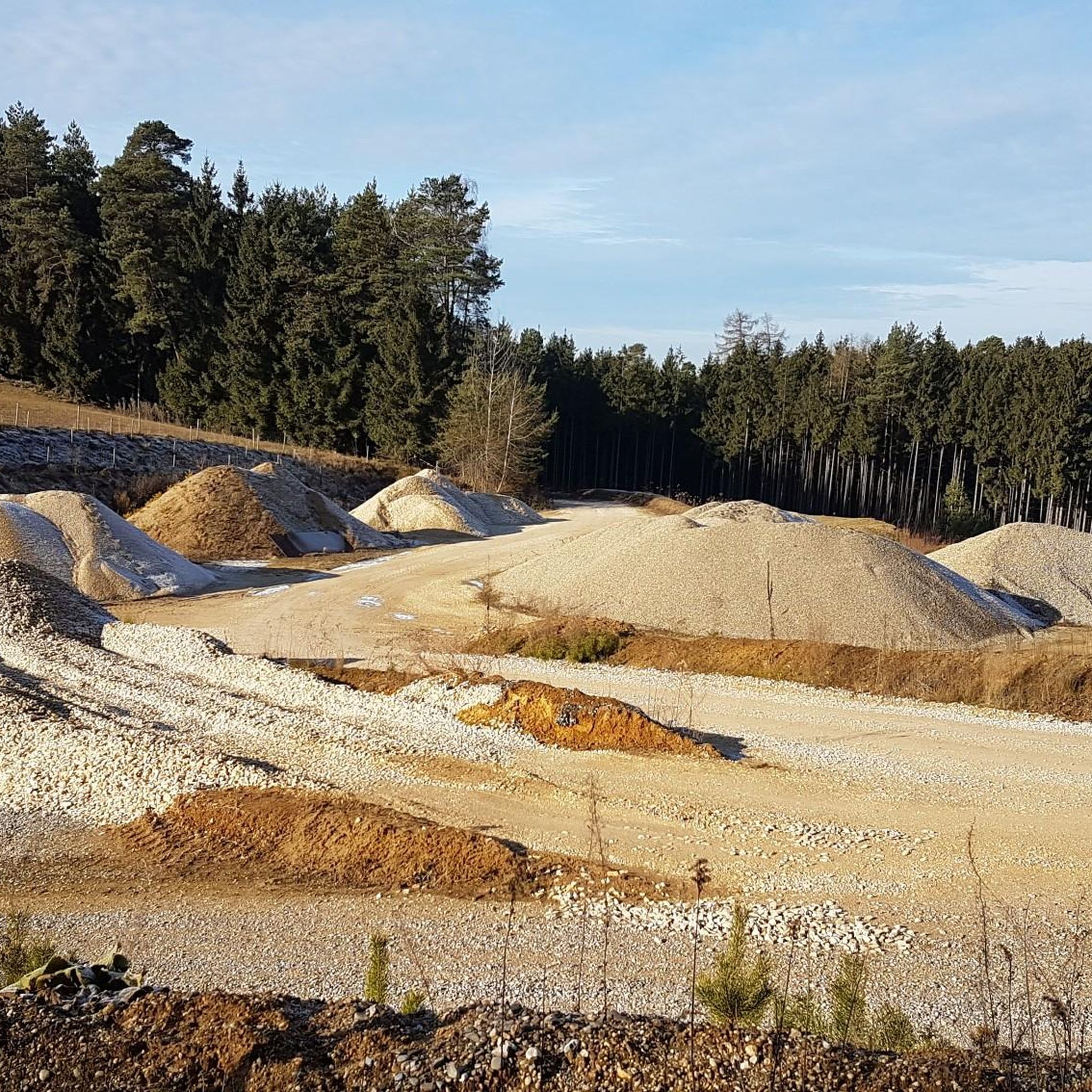
Beautiful gravel banks. Almost like Canada.
0
0


Monastery pond with school and teaching garden The spacious and lovingly designed teaching garden of the Thierhaupten Fruit and Horticultural Association includes not only an orchard but also a herb garden, colorful perennial arrangements and a rock garden. A gate leads directly to the meadows of the "well water project" in the direction of the monastery pond, past the aurochs enclosure. Total size of the area: 8 hectares Source: https://www.ferienland-donauries.de/sehenswertes/klosterweiher_mit_schul-_und_l-9423/
0
0

Great swimming spots on the gravel banks in the Lech. Be careful, if you want to get to the gravel bank you have to go through the Lech and watch out for the not insignificant current!!
1
0

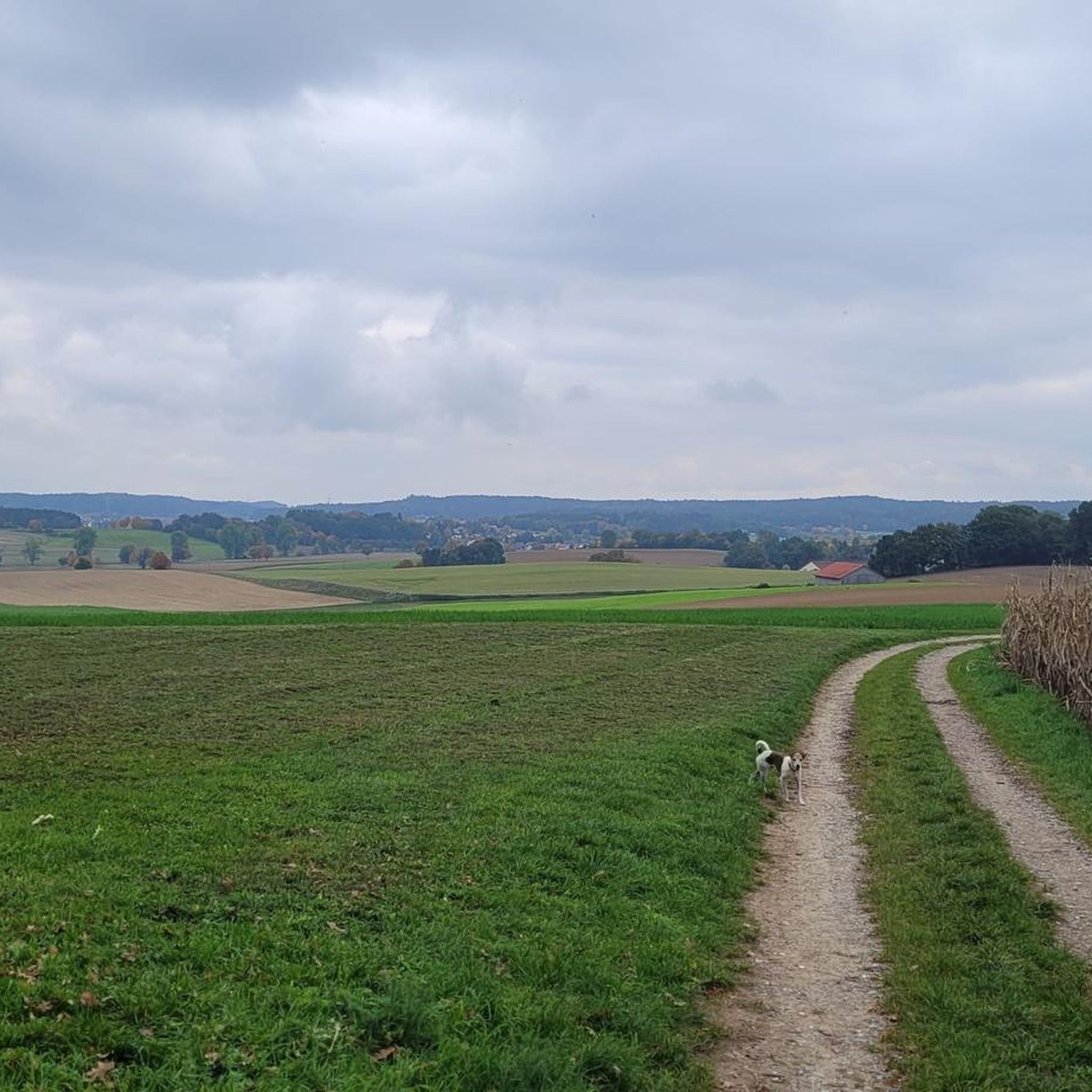
Here you will find picturesque paths between fields. Gentle hills offer you beautiful views.
1
0
Frequently Asked Questions
How many hiking trails are available around Aindling?
Aindling offers a wide selection of routes, with over 65 hiking trails to explore. These range from easy strolls to more challenging treks, ensuring options for all skill levels.
What is the best time of year for hiking in Aindling?
The most pleasant seasons for hiking in Aindling are spring and autumn. During spring, you can enjoy the blossoming nature, while autumn offers picturesque landscapes with colorful foliage. These seasons typically provide comfortable temperatures for outdoor activities.
What kind of terrain can I expect on hikes around Aindling?
Hikes around Aindling feature a varied landscape characterized by rolling hills, expansive fields, and picturesque forests within the Wittelsbacher Land. You'll encounter gentle ascents and descents, with some routes offering scenic walks along the nearby Lech River.
Are there easy hiking trails suitable for beginners or families in Aindling?
Yes, Aindling is a great destination for families and beginners. There are over 40 easy routes available, many of which are child-friendly. An example of an accessible path is the Sculptures of Human Heads – Gasthaus Seemüller loop from Schloss Pichl, which offers accessible walking through scenic surroundings.
Are there more challenging hikes for experienced trekkers in Aindling?
For experienced hikers seeking a challenge, Aindling offers several difficult routes. One such option is the Aindling Market Square – Primiz Chapel loop from Aindling, a 16.1-mile (25.9 km) trail with significant elevation changes, typically taking over 8 hours to complete.
Can I bring my dog on the hiking trails in Aindling?
Generally, dogs are welcome on hiking trails in the Aindling region. It's always advisable to keep your dog on a leash, especially near livestock or in nature reserves, and to carry waste bags. Most trails through fields and forests are suitable for walks with your canine companion.
Are there any hikes that feature historical landmarks or cultural sites?
Yes, the Aindling area is rich in historical and cultural sites. You can incorporate visits to places like Blumenthal Castle or the Pilgrimage Church Maria Birnbaum into your hikes. The region also features numerous castles, such as Scherneck Castle and Sisi Castle Unterwittelsbach, which can be explored on dedicated routes.
What natural attractions can I discover while hiking near Aindling?
While hiking near Aindling, you can enjoy diverse natural beauty. The nearby Lech River offers opportunities for scenic walks along its banks, and you might encounter highlights like the area between the Lech and the Lech Canal. Additionally, Lake Radersdorf is a beautiful bathing lake that can be a refreshing stop on your tour.
Are there circular hiking routes available in Aindling?
Yes, many of the hiking routes in Aindling are designed as circular paths, allowing you to start and end at the same point. An example is the Thierhaupten Monastery – Thierhaupten Monastery loop from Pichl, a moderate 8.0-mile (12.9 km) trail that offers a varied experience.
What do other hikers enjoy the most about hiking in Aindling?
The hiking experience in Aindling is highly rated by the komoot community, with an average score of 4.3 stars from over 150 reviews. Hikers often praise the varied landscape, which includes rolling hills, expansive fields, and picturesque forests, as well as the well-maintained paths suitable for different abilities.
Are there options for longer, full-day hikes in the Aindling area?
Yes, for those looking for longer excursions, Aindling offers several full-day hiking options. The Aindling Market Square – Bußberg (Gallows Hill) loop from Aindling is a substantial 15.5-mile (25.0 km) trail that takes approximately 6 hours and 43 minutes to complete, leading through fields and forests.
Most popular routes around Aindling
Most popular attractions around Aindling

Get inspired with the komoot mobile app


Explore more
Browse the best Hikes in other regions.
