The best mountain hikes around Schwarzenberg/Erzgebirge
3.0
(2)
17
hikers
1
hike
Mountaineering around Schwarzenberg/Erzgebirge is characterized by the varied terrain of the Ore Mountains, offering challenging trails and significant peaks. The region features extensive forests, river valleys like the Schwarzwasser, and notable elevations such as Fichtelberg and Auersberg. These natural features provide a diverse landscape for strenuous mountain experiences and panoramic views. The area is also part of the UNESCO World Heritage "Erzgebirge/Krušnohoří Mining Region," adding historical context to the outdoor environment.
Best mountaineering routes around Schwarzenberg/Erzgebirge
- The most popular mountaineering…
Last updated: September 1, 2026
5.0
(1)
9
hikers
10.1km
03:48
630m
630m
Moderate mountaineering route. Good fitness required. Mostly accessible paths. Sure-footedness required.
2
hikers
17.2km
05:22
620m
620m
Hard mountaineering route. Very good fitness required. Mostly accessible paths. Sure-footedness required.

Sign up for free
11.2km
03:28
410m
410m
Moderate mountaineering route. Good fitness required. Easily-accessible paths. Suitable for all skill levels.
4
hikers
Easy mountaineering route. Great for any fitness level. Easily-accessible paths. Suitable for all skill levels.
1.0
(1)
2
hikers
13.7km
04:04
380m
380m
Moderate mountaineering route. Good fitness required. Mostly accessible paths. Sure-footedness required.
Our route recommendations are based on thousands of hikes, rides, and runs completed by other people on komoot.
Start today with a free account
Your next adventure awaits.
Login or Signup
Popular around Schwarzenberg/Erzgebirge

Hiking with heart in the Ore Mountains
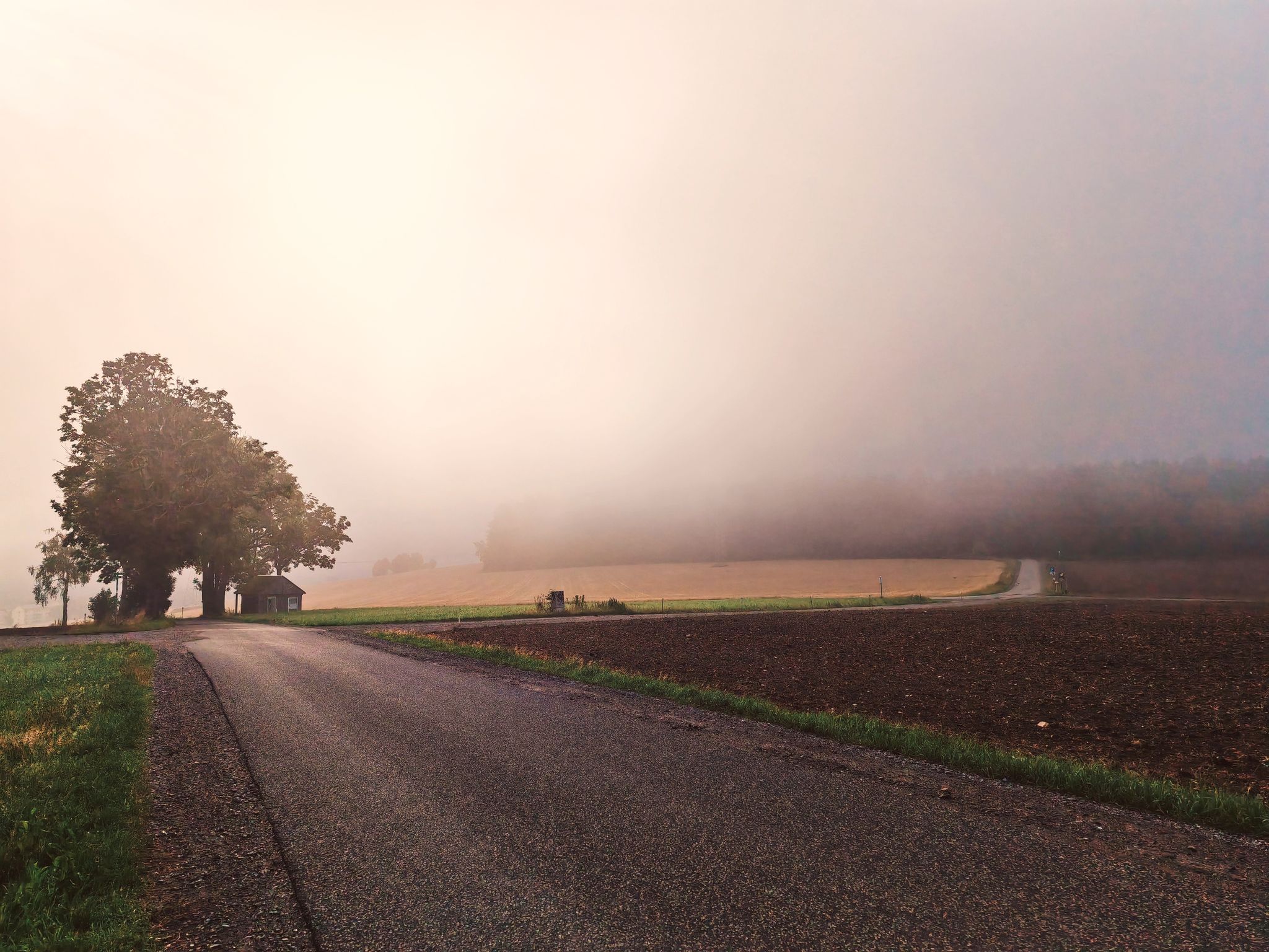
Wonderful Silberberg – Day Tours to the Digital Hiking Badge with SummitLynx

Triathlon around Germany
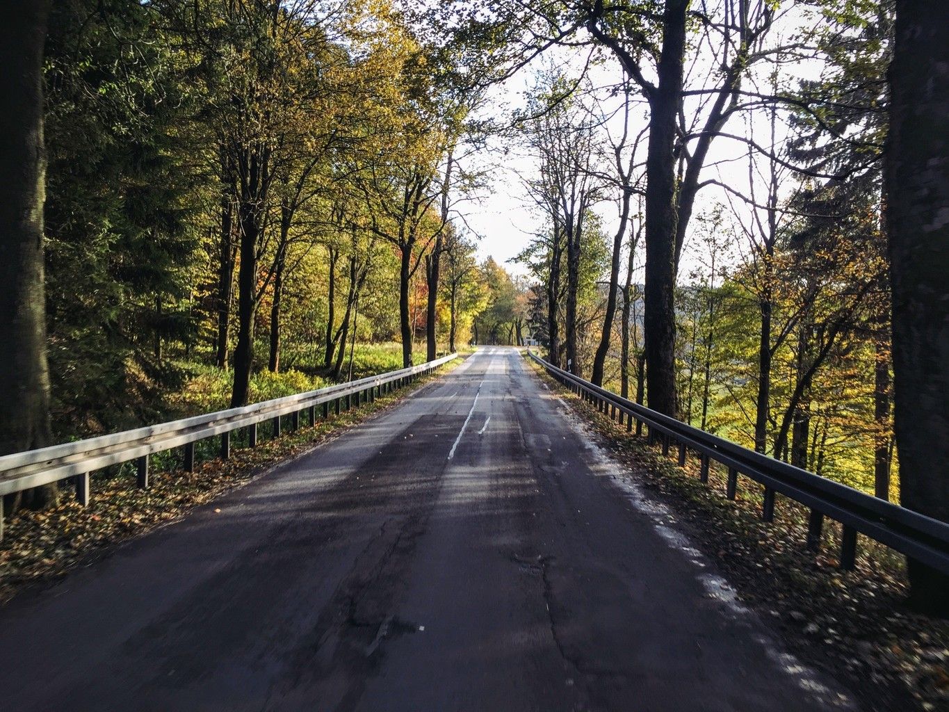
Weekend tours in the Ore Mountains

Digitale Wandernadel
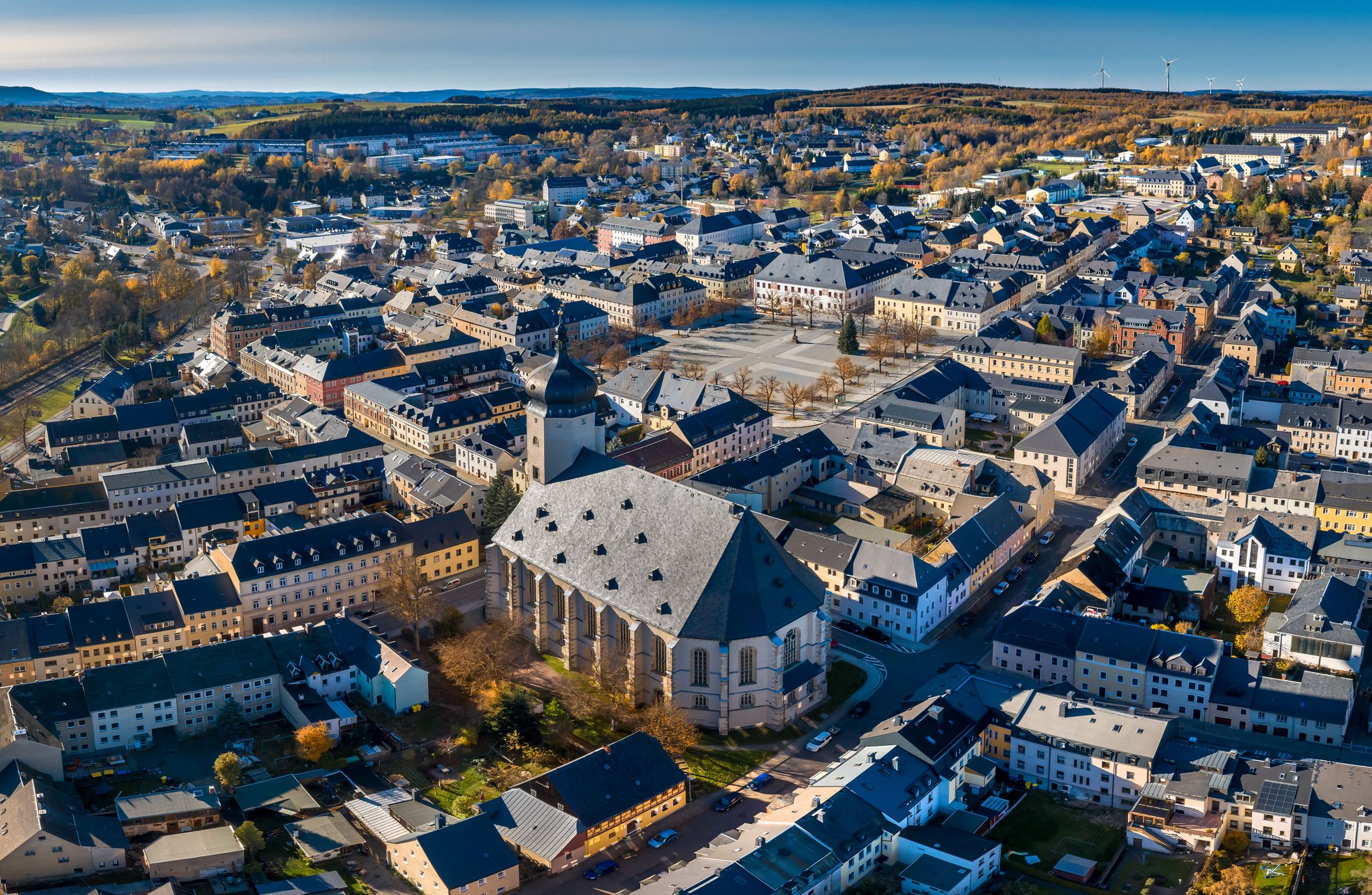
Wandertouren - "Glück Auf" im Welterbe

Wandertouren - Gipfelglück
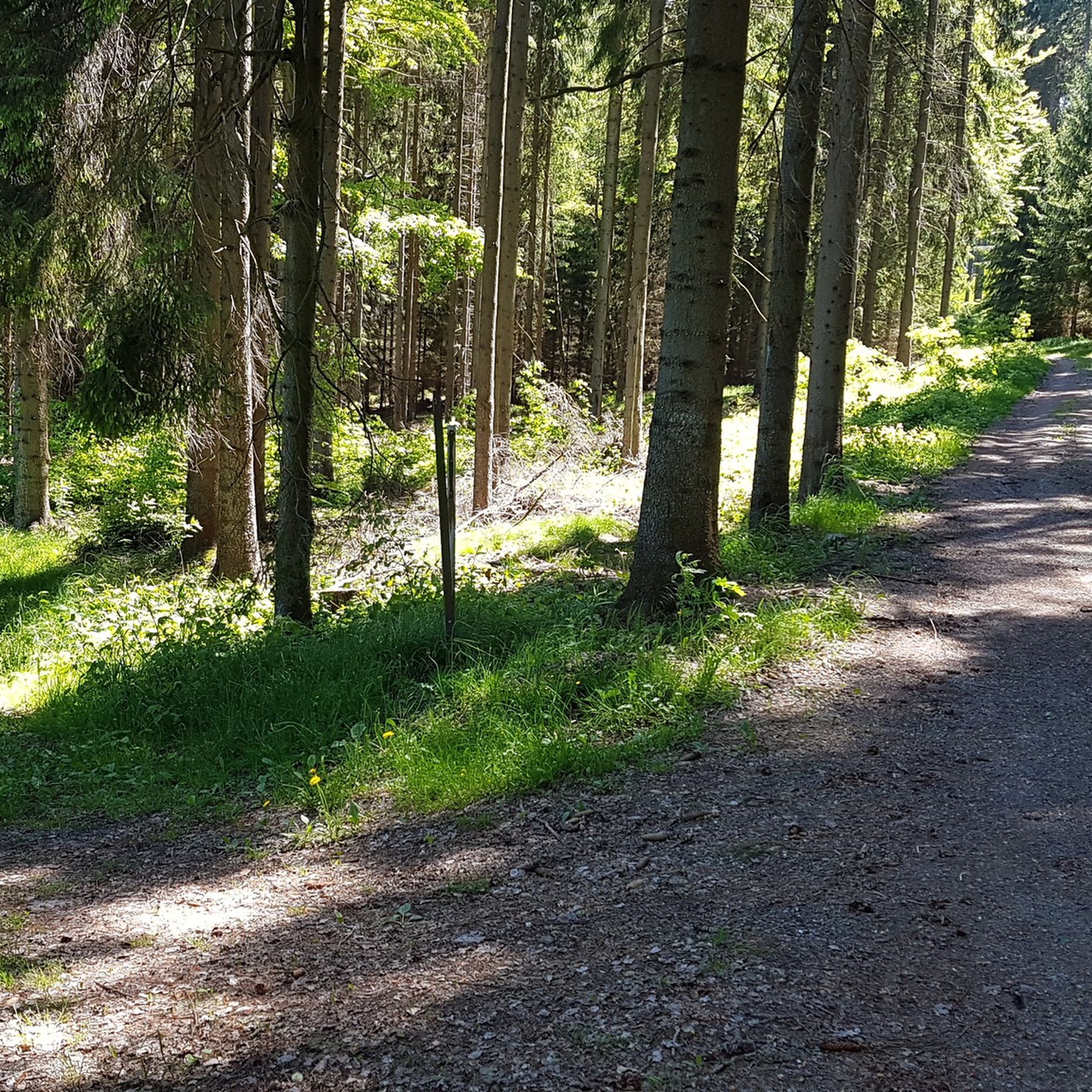
Hiking around Schwarzenberg/Erzgebirge
Cycling around Schwarzenberg/Erzgebirge
MTB Trails around Schwarzenberg/Erzgebirge
Other adventures around Schwarzenberg/Erzgebirge


Tips from the Community

Magnificent paths crisscross the vast coniferous forests
0
0

A beautiful region in summer as well as in winter, whether on foot, by bike or by ski.
0
1

The absolute motivation jackpot for kids tired of running! 🎅 The Christkindweg in Boží Dar is a real hit for families. Our most important parent hack: Before you start, be sure to get the small notebook at the info center for 50 CZK (approx. 2 Euros). The kids can solve tasks at the numerous great game and puzzle stations and even get a small reward at the info center at the end! The route is lined with beautiful wooden figures, shelters, and playgrounds – boredom stands no chance here. A particularly lovely detail: the distances are often indicated along the way in "Kroku" (child steps). The short loop (5.6 km) is perfect for families and easily doable with a buggy or balance bike. 🎒🎁 Checked by @wanderfamilie.erzgebirge
0
0
An absolute natural highlight at the end of the route! The path leads over beautiful wooden planks directly through the intact high moor – this is not only extremely idyllic but also really educational for the little explorers. 🌿 Our most important logistics tip for families: The wooden planks are not suitable for riding. Buggies, balance bikes, or children's bikes must be pushed on this section. But the slight rattling is well worth it for this great landscape! 🎒 Checked by @wanderfamilie.erzgebirge
1
0

The Fichtelberg near Oberwiesenthal in the Erzgebirge district is, at 1214.79 m above sea level, the highest mountain in Saxony. It was also the highest mountain in East Germany (GDR). Together with the nearby Klínovec (Keilberg; 1243.7 m above sea level) on the Czech side, it forms the most important winter sports center in the Erzgebirge. Source and further information: https://de.m.wikipedia.org/wiki/Fichtelberg_(Erzgebirge)
3
0

Monument in honor of the Greek writer Nikos Kazantzakis, who was a frequent guest at Boží Dar. He wrote Zorba the Younger, The Life and Times of Zorba the Younger.
0
0

The Traktor Oberwiesenthal sports club's luge track has been out of use for 35 years. Founded in 1955, the club was dissolved in 1990, and its successor, the Oberwiesenthaler SV 1990, saw itself as its successor. The naturally iced luge track, constructed from concrete elements and opened in the winter of 1969/1970 for the GDR luge training center, has been deteriorating since 1990 and is overgrown with vegetation. However, you can still walk the entire 1,100-meter-long track with its 18 curves and admire the buildings that enrich this lost place, such as the scoring booths and observation bridge. At the first Olympic luge competitions in Innsbruck in 1964, SC Traktor athletes dominated the field. Ortrun Enderlein and Ilse Geisler won gold and silver medals in the women's race, and Thomas Köhler and Klaus-Michael Bonsack won silver in the men's race.
17
2
The large peace bell on the Fichtelberg had to remain silent for six months in 2024. Stone throwing in May 2022 had so badly damaged the bell that its sound suffered. It was decided to stop ringing it and replace it with a new one. The old bell rang for the last time on Easter Monday 2024. Just in time for the mountain service on German Unity Day on October 3, the new bell was officially rung for the first time in the fall of 2024. The idea of using a peace bell to commemorate the peaceful revolution of 1989 in the GDR and German reunification in 1990 came from watchman Gerd Schlesinger and night watchman Jörg Eller from the Ore Mountains town of Schwarzenberg. The bell was also intended to be heard in neighboring Czechia and thus ring for a united Europe. The cast steel bell, already ninety years old at the time, was rung for the first time in 2010. The new bell was cast in Innsbruck by the Grassmayr company. At 2,700 kilograms, it is about 1,100 kilograms heavier than the old bell.
17
1
Frequently Asked Questions
What kind of terrain can I expect on mountaineering routes in Schwarzenberg/Erzgebirge?
The mountaineering routes in Schwarzenberg/Erzgebirge traverse the varied terrain of the Ore Mountains. You can expect extensive forests, river valleys like the Schwarzwasser, and significant elevations. Trails often wind through mountains and forests, leading to stunning viewpoints and peaceful streams, offering a diverse landscape for strenuous mountain experiences.
Are there any easy mountaineering routes for beginners?
Yes, the region offers options for different ability levels. For a relatively easier experience, consider the Boží Dar town center – St. Anna Church, Boží Dar loop from LSG Fichtelberg. This route is 4.4 miles (7.1 km) long and leads through forested areas and open landscapes with less significant elevation changes.
What natural features and landmarks can I see along the mountaineering routes?
You'll encounter a rich blend of natural beauty and historical sites. Many routes offer views of prominent peaks like Fichtelberg and Auersberg. You might also pass by bodies of water such as the Sosa Reservoir or the Eibenstock Dam. The region is also part of the UNESCO World Heritage "Erzgebirge/Krušnohoří Mining Region," adding a historical dimension to your exploration.
Where can I find the best panoramic views?
For breathtaking panoramic views, routes around Fichtelberg are highly recommended. As the highest mountain in the new federal states at 1,215 meters, Fichtelberg offers stunning vistas extending over the Ore Mountains into the Bohemian Basin. The Auersberg Summit and Observation Tower also provides beautiful views, including towards the Eibenstock and Sosa dams.
Are there family-friendly mountaineering routes?
While many routes offer challenging ascents, there are options suitable for families looking for a less strenuous experience. The Boží Dar town center – St. Anna Church, Boží Dar loop from LSG Fichtelberg is an easier route that could be suitable for families, offering a pleasant walk through forests and open landscapes.
Can I bring my dog on these mountaineering routes?
The Erzgebirge region is generally dog-friendly, with many trails welcoming well-behaved dogs on a leash. However, it's always advisable to check specific trail regulations or local signage, especially in nature reserves, to ensure a pleasant and safe experience for everyone.
Are there circular mountaineering routes available?
Yes, many mountaineering routes in the Schwarzenberg/Erzgebirge area are designed as loops, allowing you to start and end at the same point. For example, the Fichtelberg Nature Reserve – Fichtelberg Mountain Lodge loop from Oberwiesenthal is a popular circular route exploring the Fichtelberg area.
When is the best time of year for mountaineering in Schwarzenberg/Erzgebirge?
The best time for mountaineering in Schwarzenberg/Erzgebirge is typically from late spring to early autumn (May to October) when the weather is milder and trails are clear of snow. During these months, you can fully enjoy the lush forests and panoramic views. Autumn also offers beautiful foliage.
What are the winter mountaineering conditions like?
Winter in the Erzgebirge can bring significant snow and ice, transforming the landscape into a winter wonderland. While challenging, winter mountaineering is possible for experienced individuals with appropriate gear. Conditions can vary, so it's crucial to check local weather forecasts and trail conditions before heading out. Some trails may be used for cross-country skiing or snowshoeing.
Is parking available near the mountaineering routes?
Many popular trailheads and starting points for mountaineering routes in the Schwarzenberg/Erzgebirge region offer designated parking areas. For instance, routes around Fichtelberg and other prominent peaks usually have facilities for visitors arriving by car. It's recommended to check specific route details for parking information.
What do other mountaineers enjoy the most about mountaineering in Schwarzenberg/Erzgebirge?
The area is highly rated by the komoot community, with an average score of 1.0 stars from over 1 review. Mountaineers often praise the diverse landscape, the challenging climbs to prominent peaks, and the rewarding panoramic views. The extensive network of well-marked trails through forests and river valleys is also a highlight for many.
Are there any particularly challenging mountaineering routes?
For those seeking a more demanding experience, the region offers several challenging routes. The Klinovec Summit Buildings – Old luge track on Fichtelberg loop from LSG Fichtelberg is a difficult 10.6 miles (17.1 km) path featuring significant elevation changes and panoramic vistas from prominent peaks, making it a favorite among local mountaineers.
Most popular routes around Schwarzenberg/Erzgebirge
Most popular attractions around Schwarzenberg/Erzgebirge

Get inspired with the komoot mobile app


Explore more
Browse the best Mountain Hikes & Routes in other regions.
