The best walks and hikes around Pont-Sur-Meuse
4.2
(58)
199
hikers
54
hikes
Hiking around Pont-Sur-Meuse offers a diverse landscape characterized by the Meuse River valley, historical sites, and surrounding woodlands. The region features a network of paths that follow the Canal de Meuse and explore areas with historical significance. Elevation changes are generally gentle, with some routes featuring moderate climbs.
Best hiking trails around Pont-Sur-Meuse
- The most popular hiking route is Shelter – German trench loop from Apremont-la-Forêt, a 12.1 miles (19.5 km) trail that takes 5 hours 21 minutes to…
Last updated: July 5, 2026
4.3
(3)
10
hikers
19.5km
05:22
310m
310m
Hard hike. Very good fitness required. Easily-accessible paths. Suitable for all skill levels.
4.1
(7)
11
hikers
6.90km
01:44
10m
10m
Easy hike. Great for any fitness level. Easily-accessible paths. Suitable for all skill levels.

Sign up for free
3.0
(1)
8
hikers
17.3km
04:59
430m
430m
Moderate hike. Good fitness required. Easily-accessible paths. Suitable for all skill levels.
4.1
(7)
11
hikers
7.66km
01:56
20m
20m
Easy hike. Great for any fitness level. Easily-accessible paths. Suitable for all skill levels.
4.0
(1)
5
hikers
10.3km
02:53
200m
190m
Moderate hike. Good fitness required. Easily-accessible paths. Suitable for all skill levels.
Get access to more routes and recommendations from other explorers.
Sign up for free
Already have an account?
Our route recommendations are based on thousands of hikes, rides, and runs completed by other people on komoot.
Start today with a free account
Your next adventure awaits.
Login or Signup


Tips from the Community

Very long front lines of trenches; today only a few remnants remain.
1
0
It's impressive how many kilometers of trenches there were in the forest. The war in the trenches was very strenuous, and many soldiers fought until they were exhausted.
1
0
Very long front lines of trenches; today, the forest has grown back on the other side. During the war, not a single tree remained. It was very impressive how many kilometers of trenches there were in the forest, with shell holes every few meters.
2
0
Monument in the immediate vicinity of the shooting graves "Tranche de la soif" in memory of the fallen.
2
0
Monument in the immediate vicinity of the shooting graves "Tranche de la soif" in memory of the fallen.
2
0
Author, History and Cultures of Antiquity and the Middle Ages (EA1132 / HISCANT-MA) - University of Lorraine. Site Description Until the end of the 14th century, Sampigny was part of the parish of Sainte-Lucie, the center of a village of the same name, located a few hundred meters southwest of the fortress. Since the 13th century, the fortress had had a castle chapel dedicated to Saint Peter, which was elevated to the rank of parish church in 1386. On this occasion, this "lower" church, so named in relation to the Sainte-Lucie church located on a hilltop, likely underwent some modifications. It was enlarged in the early 16th century and its bell tower was raised. Almost square in plan, it was further enlarged in 1746 with the addition of two sacristies. It then changed its name, taking up that of the original parish whose church had been abandoned to a community of Minim fathers in 1625.
2
0
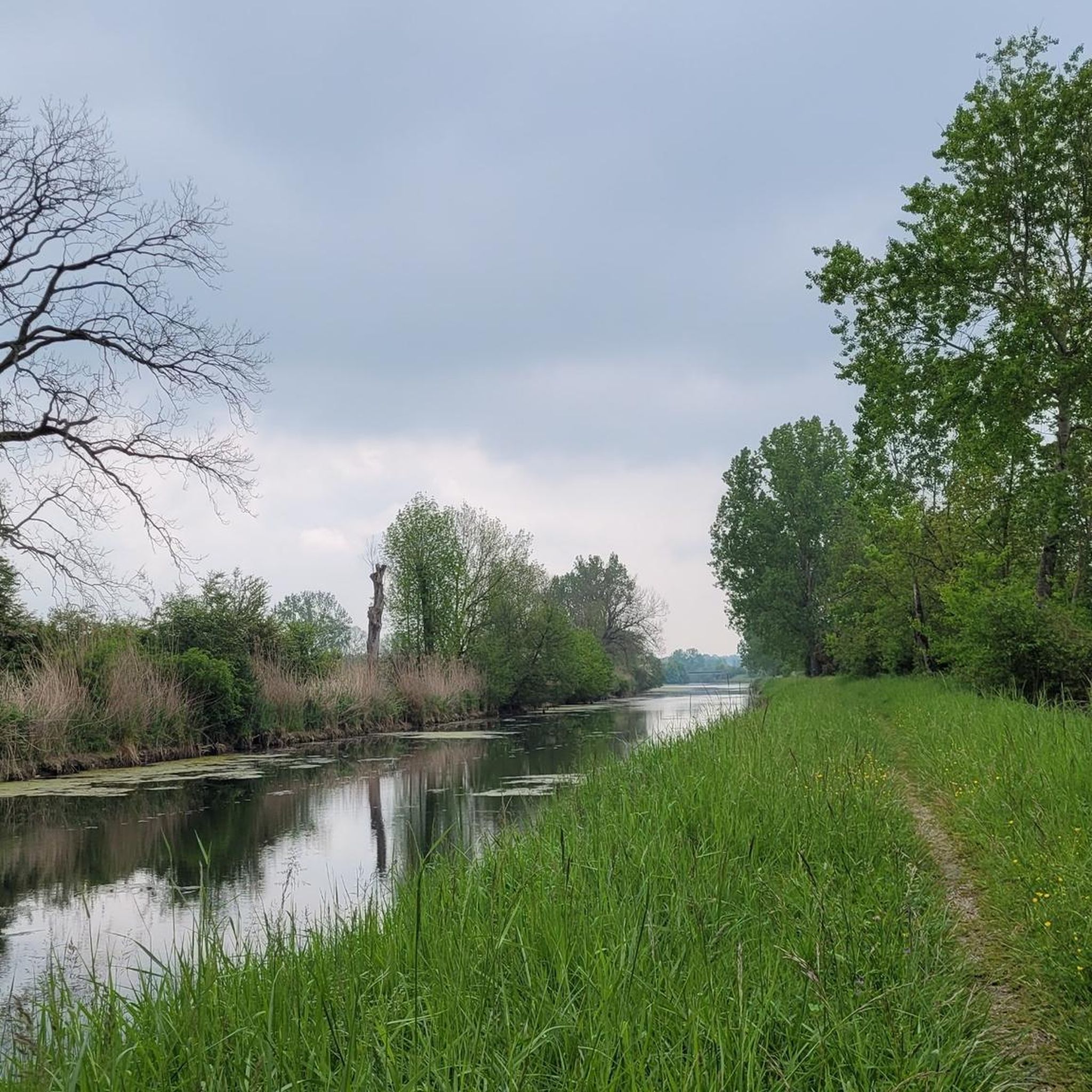
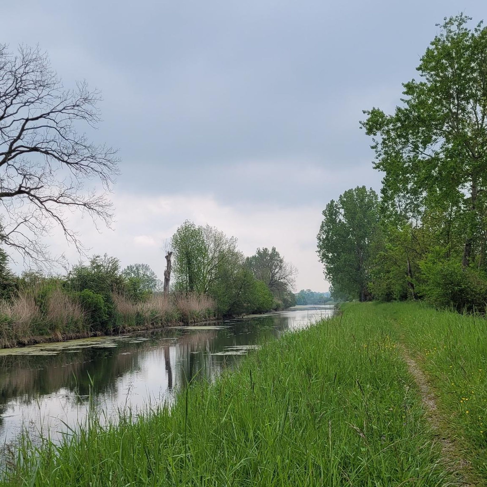
The picturesque landscape invites you to unwind and escape the stresses of everyday life. Along the canal, you can fully experience the peace and quiet of the surroundings. The fresh air and beautiful views contribute to an unforgettable experience. This walk is a perfect way to recharge your batteries and rejuvenate your soul.
0
0
The picturesque landscape invites you to relax and escape the stress of everyday life.
2
0
Frequently Asked Questions
How many hiking trails are available in Pont-Sur-Meuse?
There are over 30 hiking routes documented in the Pont-Sur-Meuse region, offering a variety of experiences from gentle riverside strolls to more challenging loops through historical areas.
Are there easy hiking trails suitable for beginners or families in Pont-Sur-Meuse?
Yes, Pont-Sur-Meuse offers 17 easy routes perfect for beginners or families. A great option is the Along the Canal de Meuse. – Aux Taises Riverbank loop from Mécrin, which is an easy 4.3-mile (6.9 km) path following the tranquil riverbank and canal.
What are the typical lengths and durations of hikes in this area?
Hikes in Pont-Sur-Meuse vary significantly. You can find shorter, easy walks like the Lavoir des Dames. – Aux Taises Riverbank loop from Sampigny, which is about 4.7 miles (7.6 km) and takes around 2 hours. Longer, more challenging routes, such as the Shelter – German trench loop from Apremont-la-Forêt, can be up to 12.1 miles (19.5 km) and require over 5 hours to complete.
Are there any circular walks available in Pont-Sur-Meuse?
Many of the trails in Pont-Sur-Meuse are designed as circular routes, allowing you to start and end at the same point. For example, the Concrete positions – Saint-Mihiel Abbey Church loop from Han-sur-Meuse is a popular 10.7-mile (17.3 km) circular trail.
What kind of historical landmarks or attractions can I see along the hiking trails?
The region is rich in history, particularly related to World War I. You can explore sites like the Trench of Thirst and Ailly Wood or the Redoutes Cross Memorial. The Saint-Mihiel Abbey Church is another significant historical and architectural highlight.
What do other hikers enjoy most about hiking in Pont-Sur-Meuse?
The komoot community highly rates the hiking experience in Pont-Sur-Meuse, with an average score of 4.2 stars from over 40 reviews. Hikers often praise the diverse landscape, which combines tranquil river and canal paths with historical landmarks and peaceful forested sections.
Are there any trails that offer good viewpoints of the Meuse River valley?
While specific viewpoint trails aren't highlighted, many routes follow the Meuse River and Canal de Meuse, offering picturesque views of the valley and its waterways. Trails that ascend into the surrounding woodlands often provide elevated perspectives.
What is the best season for hiking in Pont-Sur-Meuse?
The region is enjoyable for hiking throughout much of the year. Spring and autumn offer pleasant temperatures and beautiful scenery, with vibrant foliage or blooming wildflowers. Summer is also popular, especially for riverside walks, while winter can provide a unique, quiet experience, though some paths might be muddy or require appropriate footwear.
Are there any cafes or pubs near the hiking trails in Pont-Sur-Meuse?
The towns and villages along the Meuse River, such as Saint-Mihiel, offer various amenities including cafes and restaurants where you can refuel after your hike. It's advisable to check local opening hours, especially in smaller communities.
Where can I find parking or trailheads for hikes in Pont-Sur-Meuse?
Parking is generally available in the starting villages for many routes, such as Apremont-la-Forêt, Mécrin, Han-sur-Meuse, and Sampigny. Trailheads are often well-marked from these points, particularly for popular loops and riverside paths.
Are there any moderate difficulty hikes for those looking for a bit more challenge?
Yes, there are 14 moderate routes available. The Spanking – Weir system loop from Marbotte is a good example, covering 6.4 miles (10.3 km) with some elevation changes, typically taking around 3 hours.
Most popular routes around Pont-Sur-Meuse
Most popular attractions around Pont-Sur-Meuse

Get inspired with the komoot mobile app


Explore more
Browse the best Hikes in other regions.
