The best road cycling routes around Aidlingen
4.6
(1633)
23,112
riders
13
rides
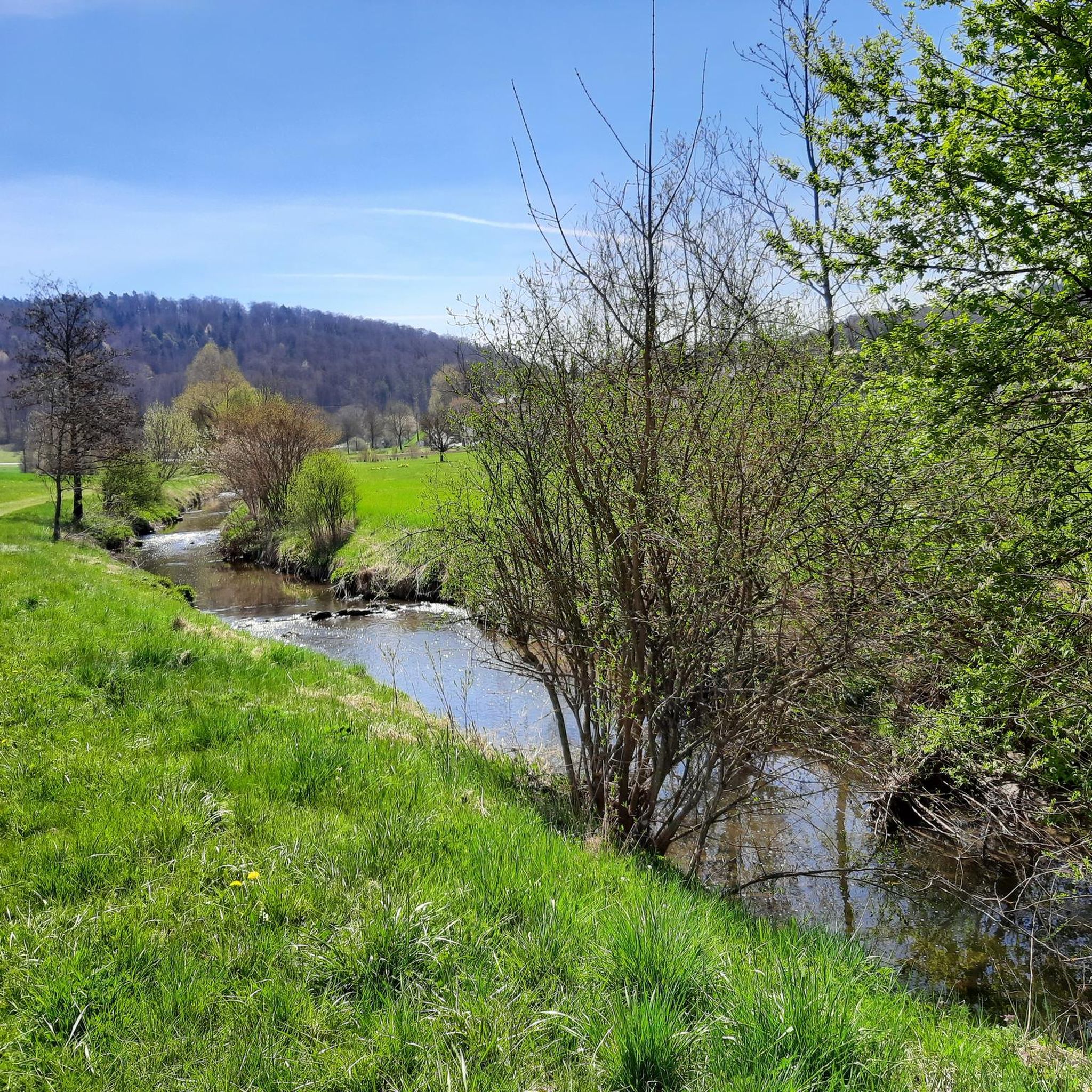
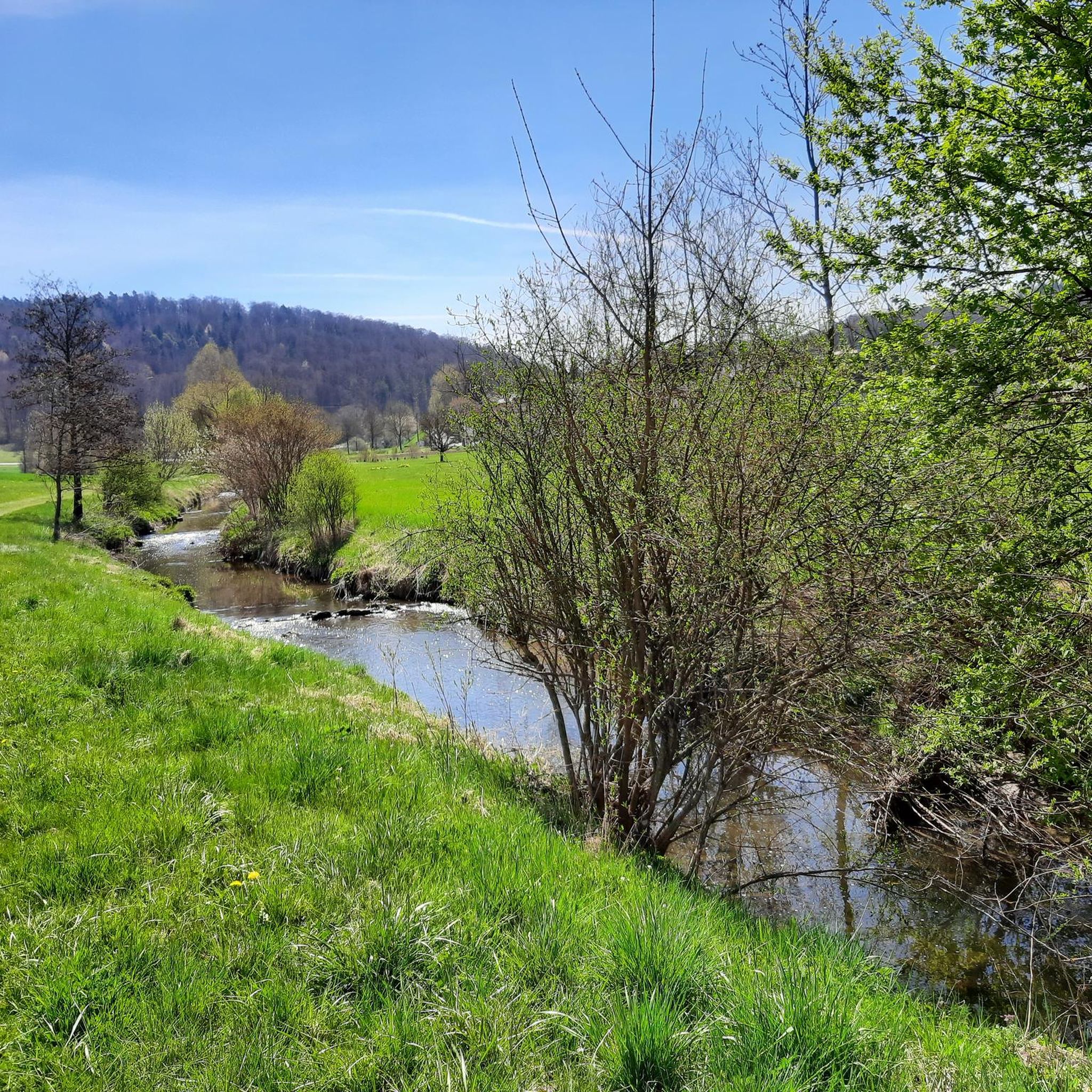
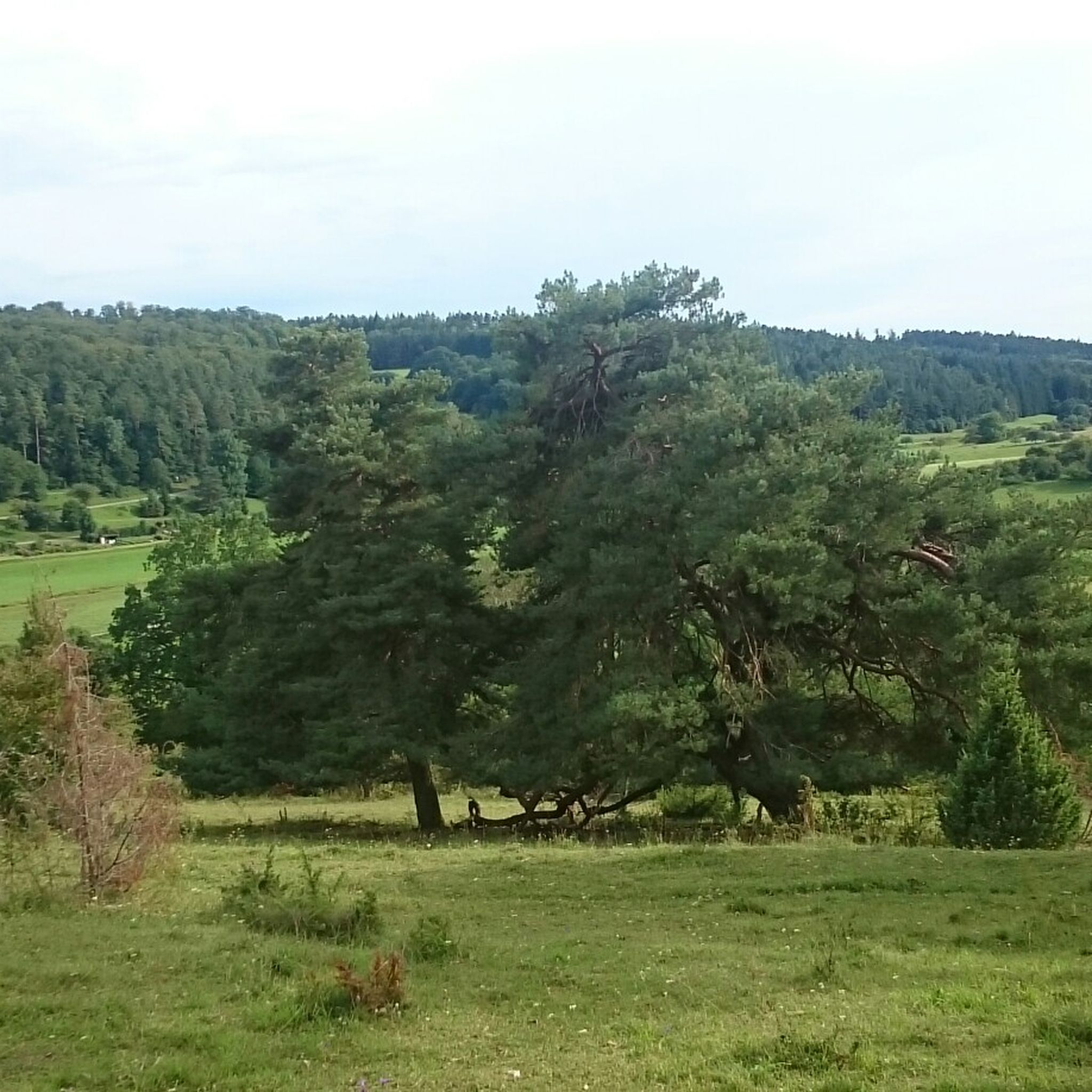
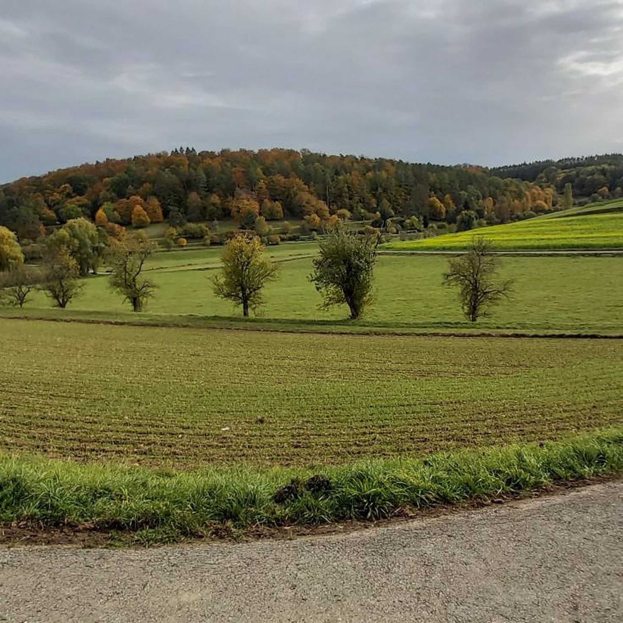
Road cycling around Aidlingen features routes through the Gäu plateau, characterized by rolling hills, agricultural landscapes, and sections of mixed forest. The terrain includes moderate ascents and descents, providing varied cycling experiences. Road cyclists can expect routes that traverse open fields and pass through small villages. The region's topography offers a network of roads suitable for different levels of road cycling.
Best road cycling routes around Aidlingen
- The most popular road cycling route is Dachtel Evangelical Church – Seven Firs…
Last updated: July 8, 2026
5.0
(1)
61
riders
53.0km
02:27
560m
560m
Moderate road ride. Good fitness required. Mostly well-paved surfaces and easy to ride.
3.5
(2)
38
riders
38.9km
01:49
410m
410m
Moderate road ride. Good fitness required. Mostly well-paved surfaces and easy to ride.

Sign up for free
4.5
(4)
26
riders
25.9km
01:11
230m
230m
Easy road ride. Great for any fitness level. Mostly well-paved surfaces and easy to ride.
5.0
(2)
31
riders
Moderate road ride. Good fitness required. Mostly well-paved surfaces and easy to ride.
5.0
(1)
13
riders
47.2km
02:04
430m
430m
Moderate road ride. Good fitness required. Some segments of this route may be unpaved and difficult to ride.
Get access to more routes and recommendations from other explorers.
Sign up for free
Already have an account?
Our route recommendations are based on thousands of hikes, rides, and runs completed by other people on komoot.
Start today with a free account
Your next adventure awaits.
Login or Signup

Tips from the Community

Absolutely peaceful and idyllically situated on the outskirts of Zavelstein, in the heart of a nature reserve, with a magical panorama, the hikers' lodge invites you to a cozy stop. Here, we spoil you with hearty Swabian Black Forest specialties, delicious Spätzle variations, barbecue events, cozy fondue evenings, and cabin parties! We have been awarded two lions by "Taste the South" for our wide selection of regional products. The hikers' lodge is also a partner business of the Black Forest Central/North Nature Park Hosts. Source: https://www.kronelamm-schwarzwald.de/de/genuss-kulinarik/wanderheim.html
0
0

The sculpture "13/93" belongs to Erich Hauser's late works, which employ crystalline, fractured triangular forms whose vertical and lateral, drifting points reach towards the sky. The apparent splitting into individual geometric forms, however, does not lead to a fragmentation of the basic structure, but rather to a unity that is co-staged by the light. The prismatic decomposition of the body is reminiscent of the Cubist style at the beginning of the 20th century.
0
0

A beautiful stretch of trail off the busy B295, which takes you directly to the outskirts of Calw—or away from it. It runs right along the edge of the barracks on a fairly straight path. The downhill is easy, but as mentioned, you're not alone, so slow down, especially where paths join.
0
0

Beautiful view of Ehningen and Gärtringen
0
0

The church was built in the 10th/11th century, and parts of the church tower and north wall still survive today. In 1488, the nave was added to the existing defensive tower, and Protestant sermons have been held here since 1548. In 1750, the gallery parapet was painted with 30 biblical motifs.
6
0

You can ride the short stretch from the turnoff to Mindersbach to the Pfrondorf Mill on the road and maintain a high speed. This is an attractive option during off-peak times. When traffic is heavy, which is often the case, you can also opt for the bike path – but you'll have to accept one or two steep climbs and a lower speed. The route is a bit more adventurous: first, a very steep, confusing section under the road, then over the wooden bridge, and then a steep climb again just before Emmingen.
1
0
A lovely, quiet town center with charming half-timbered houses. From west to east, toward Tennental and Gärtringen, the road is always downhill. At first glance, you wouldn't think that in the final days of the war, two-thirds of the town fell victim to bombs, leaving over 600 people homeless in one fell swoop. Reconstruction lasted until 1957 and involved redesigning the plots to create more space. The half-timbered houses were finally rebuilt according to the principles of the Heritage Architecture Association and can still be admired today. Incidentally, Deckenpfronn belonged to Calw until the end of 1972, before being incorporated into the Böblingen district on New Year's Day 1973.
0
0
Top-notch bike path. Slightly hilly, superbly paved, ideal for speed, even with a racing bike.
0
0
Frequently Asked Questions
How many road cycling routes are available around Aidlingen?
There are over a dozen road cycling routes around Aidlingen, offering a variety of experiences through the Gäu plateau's rolling hills and agricultural landscapes. These routes cater to different skill levels, from easy loops to more challenging rides.
Are there easy road cycling routes suitable for beginners in Aidlingen?
Yes, Aidlingen offers several easy road cycling routes perfect for beginners or those seeking a relaxed ride. An excellent option is the Dachtel Evangelical Church – Deckenpfronn Town Center loop from Aidlingen, an easy 16.1-mile (25.9 km) path with less strenuous elevation.
What are some challenging road cycling routes in the Aidlingen area?
For cyclists looking for a challenge, Aidlingen features routes with significant elevation gain. The Dachtel Evangelical Church – 7 Tannen Road Cycling Route loop from Obere Gäue is a moderate 33.2-mile (53.4 km) trail with over 2,700 feet (850 meters) of elevation gain, providing a demanding ride through varied terrain.
Are there circular road cycling routes around Aidlingen?
Many of the road cycling routes in Aidlingen are designed as loops, allowing you to start and finish at the same point. For example, the popular Dachtel Evangelical Church – Seven Firs loop from Aidlingen is a 24.1-mile (38.8 km) circular route.
What kind of scenery can I expect on road cycling routes in Aidlingen?
Road cycling around Aidlingen offers diverse scenery, including expansive agricultural fields, sections of mixed forest, and charming small villages. The routes traverse the Gäu plateau, characterized by its gentle rolling hills, providing picturesque views throughout your ride.
What is the best season for road cycling in Aidlingen?
The best season for road cycling in Aidlingen is typically from spring through autumn, when the weather is mild and the landscapes are vibrant. During these months, you'll find ideal conditions for enjoying the region's rolling hills and open fields.
Are there any long-distance road cycling routes near Aidlingen?
Aidlingen offers several longer road cycling options for those seeking extended rides. The Evangelical Church Ostelsheim – Markus Church Althengstett loop from Aidlingen covers 47.1 km (29.3 miles) and is a great choice for a longer excursion.
What interesting landmarks or attractions can I find along road cycling routes in Aidlingen?
While cycling around Aidlingen, you might encounter various points of interest. Keep an eye out for highlights like the Neue Brücke Barbecue Area or the First Harthäusle with rest area. The region also features natural attractions such as the Xanderklinge Gorge Trail and the Mittelbachfälle Waterfall.
What do other road cyclists enjoy most about road cycling in Aidlingen?
The road cycling routes in Aidlingen are highly rated by the komoot community, with an average score of 4.6 stars from over 1,200 reviews. Cyclists often praise the varied terrain, which includes a mix of rolling hills, agricultural fields, and forested sections, offering engaging rides for different ability levels.
Are there routes with significant elevation gain for training in Aidlingen?
Yes, Aidlingen's topography, characterized by rolling hills, provides excellent opportunities for elevation training. Routes like the Galgenbergsteige – Climb Towards Aidlingen loop from Obere Gäue feature over 1,800 feet (550 meters) of ascent, making them suitable for building endurance and strength.
Can I find routes that pass through villages or offer coffee stops in Aidlingen?
Many road cycling routes in Aidlingen traverse through or near small villages, offering opportunities for a break or a coffee stop. The region's network of roads connects these communities, making it easy to find refreshments along your ride.
Most popular attractions around Aidlingen

Get inspired with the komoot mobile app


Explore more
Browse the best Road cycling routes in other regions.
