The best running trails around Stahlhofen
4.4
(623)
5,773
runners
410
runs
Jogging routes around Stahlhofen traverse a diverse landscape, featuring the scenic Wiesensee and extensive forested areas. The region offers a network of trails with varying elevation profiles, from gentle lakeside paths to more challenging routes through the Westerwald. These paths provide opportunities to experience the natural beauty and expansive views of the surrounding area.
Best jogging routes around Stahlhofen
- The most popular jogging route is Bridge Over the Ahrbach – Country Inn Wirzenborner Liss loop from Heilberscheid, a 13.5…
Last updated: June 30, 2026
29
runners
Hard run. Very good fitness required. Mostly paved surfaces. Suitable for all skill levels.
5.0
(1)
20
runners
Moderate run. Good fitness required. Mostly paved surfaces. Suitable for all skill levels.

Sign up for free
6
runners
9.93km
01:09
190m
190m
Moderate run. Good fitness required. Mostly paved surfaces. Suitable for all skill levels.
4.0
(1)
6
runners
8.10km
00:53
150m
150m
Moderate run. Good fitness required. Mostly paved surfaces. Suitable for all skill levels.
6
runners
18.0km
02:00
300m
300m
Hard run. Very good fitness required. Mostly paved surfaces. Suitable for all skill levels.
Get access to more routes and recommendations from other explorers.
Sign up for free
Already have an account?
Our route recommendations are based on thousands of hikes, rides, and runs completed by other people on komoot.
Start today with a free account
Your next adventure awaits.
Login or Signup
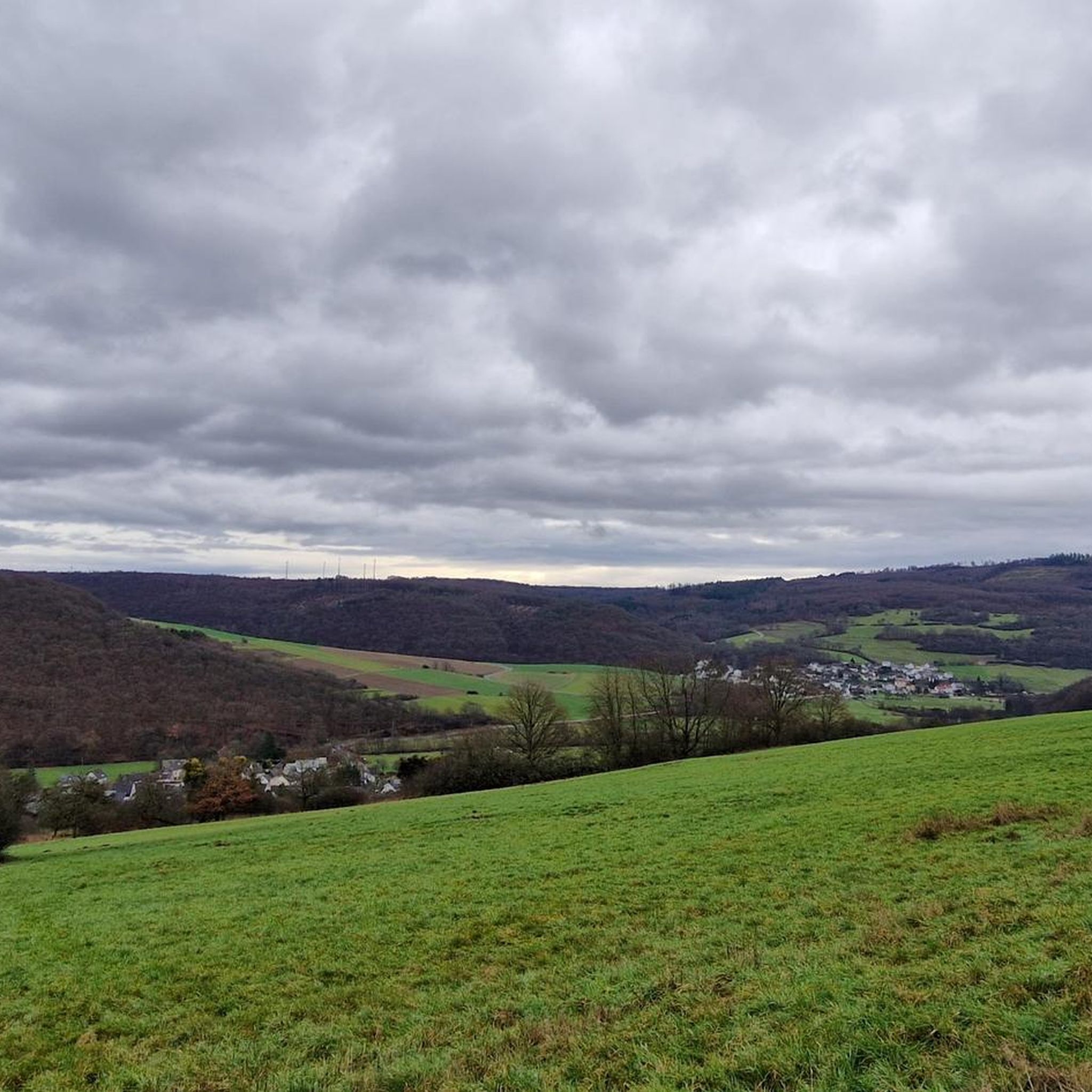
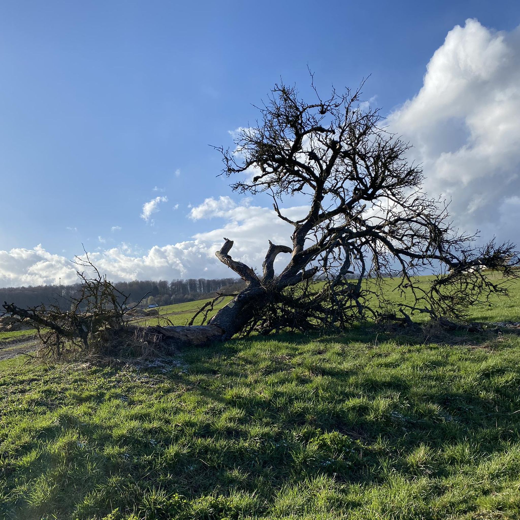
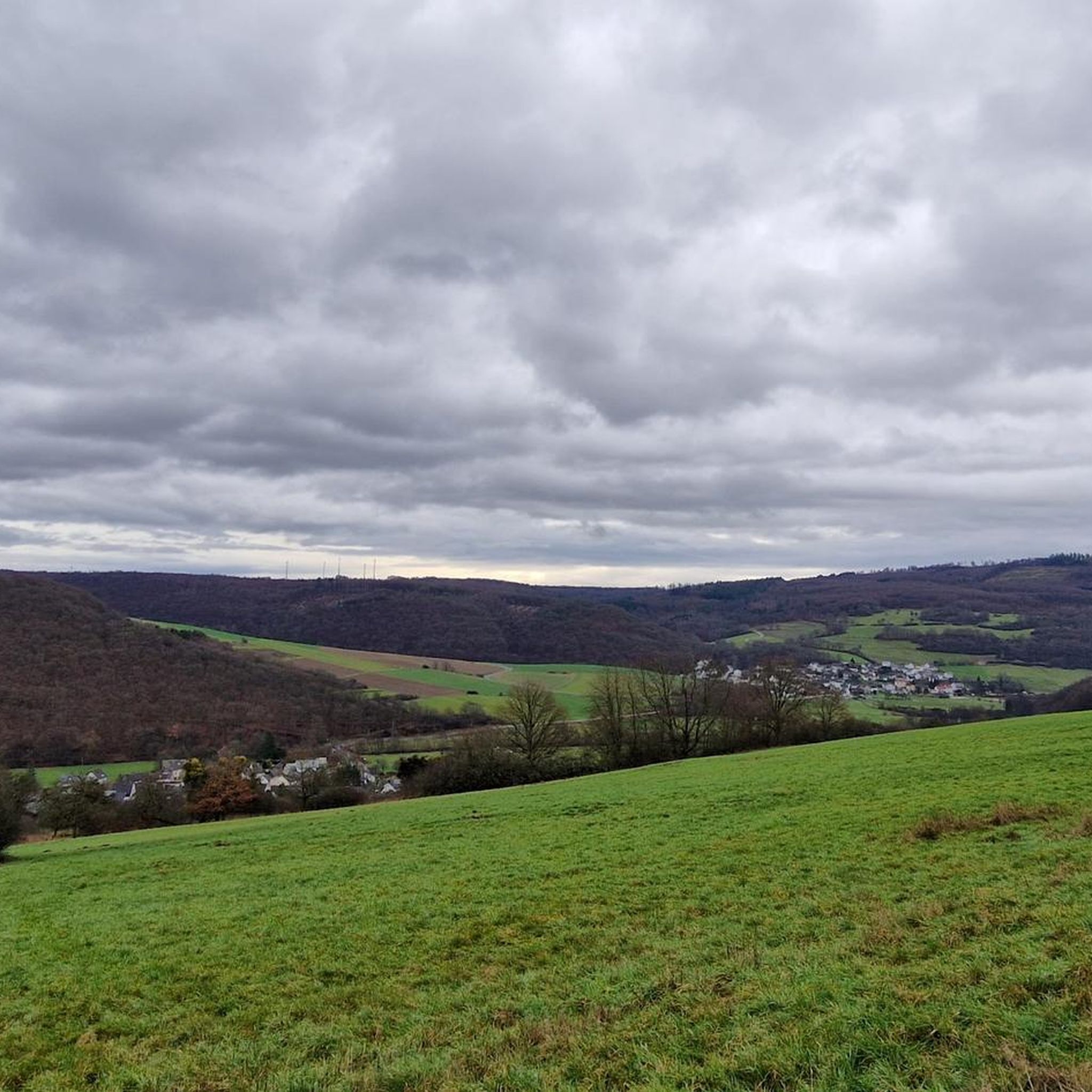

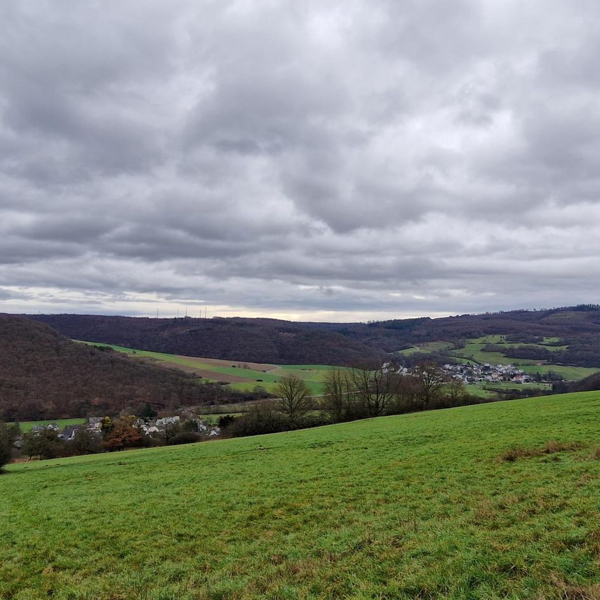
Tips from the Community

The Ahrbach accompanies the route for large parts with its quiet splashing and creates a pleasantly relaxed atmosphere. Again and again, small view axes open up to the water, while the path winds in gentle curves through the riverside landscape.
5
0

The path runs along the Gelbach stream in a natural setting and provides shade in the summer. It's interesting for hikers, cyclists, and mountain bikers.
2
0


great path for art lovers
1
0

... nothing special.
0
0

At the end of the Montabaur outlet and at the entrance to the ICE train station is the station square. You won't find any charm or comfort here, so what can you do? Either turn around and continue through the Montabaur outlet, take a bus or continue by train!
0
0
I agree with the others, a highlight looks different, feels different. You've been there and gone through it and you're done for!
0
0

Discover artists and do gravel at the same time!
1
0
Frequently Asked Questions
How many running routes are available around Stahlhofen?
Stahlhofen boasts a diverse network of over 400 running routes. This extensive selection ensures there are options for every fitness level, from leisurely jogs to more challenging endurance runs.
What kind of terrain and difficulty levels can I expect for running trails in Stahlhofen?
The running trails around Stahlhofen offer varied terrain, from gentle paths around the Wiesensee to more demanding routes through forested areas and valleys. You'll find 49 easy routes, 302 moderate routes, and 54 difficult routes, catering to both beginners and experienced runners.
Are there any circular running routes in the Stahlhofen area?
Yes, many running routes in Stahlhofen are circular, allowing you to start and finish at the same point. A popular moderate option is the Gelbachtal Valley loop from Stahlhofen, which covers about 9.9 km through scenic landscapes.
What are the most scenic natural features to experience while running in Stahlhofen?
The central natural feature is the Wiesensee, offering a beautiful backdrop for your run. Many routes also traverse forests and valleys, providing refreshing environments and expansive views of the Westerwald landscape. The Gelbachtal Path – Gelbachtal Trail loop from Heilberscheid, for instance, follows the picturesque Gelbachtal.
Are there any family-friendly running routes suitable for all ages?
For families, the paths around the Wiesensee are particularly suitable. The 'Kleiner Wäller Wiesensee' trail, while not listed in the guide data, is known to be an easy, barrier-free circular route of about 6.4 km with minimal elevation, perfect for all fitness levels and offering benches for rests.
Can I bring my dog on the running trails in Stahlhofen?
Many of the natural paths and forested trails around Stahlhofen are suitable for running with dogs. It's always recommended to keep your dog on a leash, especially in nature reserves or areas with wildlife, and to respect local regulations.
Are there any routes that offer significant elevation changes for a more challenging run?
Absolutely. For a more challenging run with significant elevation changes, consider routes like the difficult Bridge Over the Ahrbach – Country Inn Wirzenborner Liss loop from Heilberscheid, which features 186 meters of ascent over 21.8 km, or the Country Inn Wirzenborner Liss – Bridge Over the Ahrbach loop from Daubach with nearly 300 meters of elevation gain.
What kind of viewpoints or landmarks can I see along the running routes?
Several routes offer scenic viewpoints, such as the 'View of Montabaur Basin'. You might also encounter interesting features like the Brunnenbach Gorge and Waterfalls or the Gelbach Valley near Bladenheim, which are part of the broader natural attractions in the region.
Are there any places to stop for refreshments or rest along the trails?
Especially around the Wiesensee, you'll find benches and lounge seats for rests, and there are opportunities for refreshments. Some routes may pass near villages or country inns, offering a chance to refuel.
What do other runners say about the trails in Stahlhofen?
The running routes in Stahlhofen are highly regarded by the komoot community, with an average rating of 4.5 stars from over 500 reviews. More than 5,000 runners have explored the varied terrain, often praising the natural beauty and well-maintained paths.
Are there any routes that pass through unique cultural or artistic points of interest?
While not directly on the listed running routes, the presence of 'Sculpture Trail Reckenthal' loops near Stahlhofen suggests an integration of art and nature in the broader area, offering an interesting visual element for those exploring on foot.
What is a good moderate-difficulty route for a solid run?
For a solid moderate run, the Daubach Village Fountain – View of Montabaur Basin loop from Daubach is an excellent choice. It covers about 8.1 km with moderate elevation changes, offering a good workout and scenic views.
Most popular routes around Stahlhofen
Most popular attractions around Stahlhofen

Get inspired with the komoot mobile app


Explore more
Browse the best Running Trails & Routes in other regions.
