The best walks and hikes around Blaincourt-Sur-Aube
4.4
(162)
871
hikers
54
hikes
Hiking around Blaincourt-Sur-Aube offers access to the diverse landscapes of the Orient Forest Regional Natural Park. The region is characterized by extensive forests, primarily composed of oak and hornbeam trees, and three significant man-made lakes: Lac d'Orient, Lac du Temple, and Lac Amance. These features provide varied terrain, from tranquil woodlands to lakeside paths, suitable for different hiking experiences. The area also includes wetlands, contributing to its ecological richness.
Best hiking trails around Blaincourt-Sur-Aube
- The most popular hiking route is…
Last updated: August 28, 2026
4.3
(3)
6
hikers
13.7km
03:36
110m
120m
Moderate hike. Good fitness required. Easily-accessible paths. Suitable for all skill levels.
4.2
(13)
48
hikers
6.86km
01:46
30m
30m
Easy hike. Great for any fitness level. Easily-accessible paths. Suitable for all skill levels.

Sign up for free
5.0
(1)
30
hikers
9.24km
02:21
20m
20m
Moderate hike. Good fitness required. Easily-accessible paths. Suitable for all skill levels.
5.0
(1)
16
hikers
4.59km
01:10
10m
10m
Easy hike. Great for any fitness level. Easily-accessible paths. Suitable for all skill levels.
4.0
(2)
16
hikers
12.7km
03:19
80m
80m
Moderate hike. Good fitness required. Easily-accessible paths. Suitable for all skill levels.
Get access to more routes and recommendations from other explorers.
Sign up for free
Already have an account?
Our route recommendations are based on thousands of hikes, rides, and runs completed by other people on komoot.
Start today with a free account
Your next adventure awaits.
Login or Signup


Tips from the Community


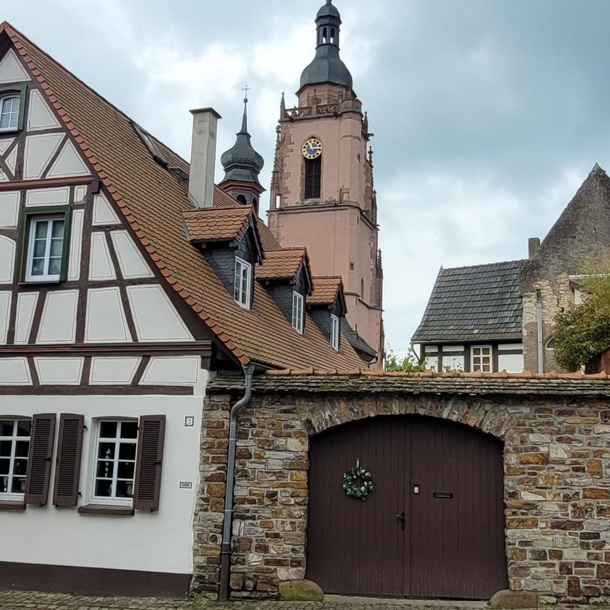
The 16-18th century church is notable for its pentagonal apse and a heavy square tower with dome. The beautiful wrought iron choir screen from 1768 belongs to Matthieu Lesueur, the locksmith of Clairvaux Abbey.
7
0

Very beautiful church but watch out for the pigeon
2
0
Bridge built in 1945 replacing the old bridge dating from 1639, destroyed during the Second World War.
4
0
The 16-18th century church is notable for its pentagonal apse and a heavy square tower with dome. The beautiful wrought iron choir screen from 1768 belongs to Matthieu Lesueur, the locksmith of Clairvaux Abbey
1
0

Old restored chapel near Dienville
0
0

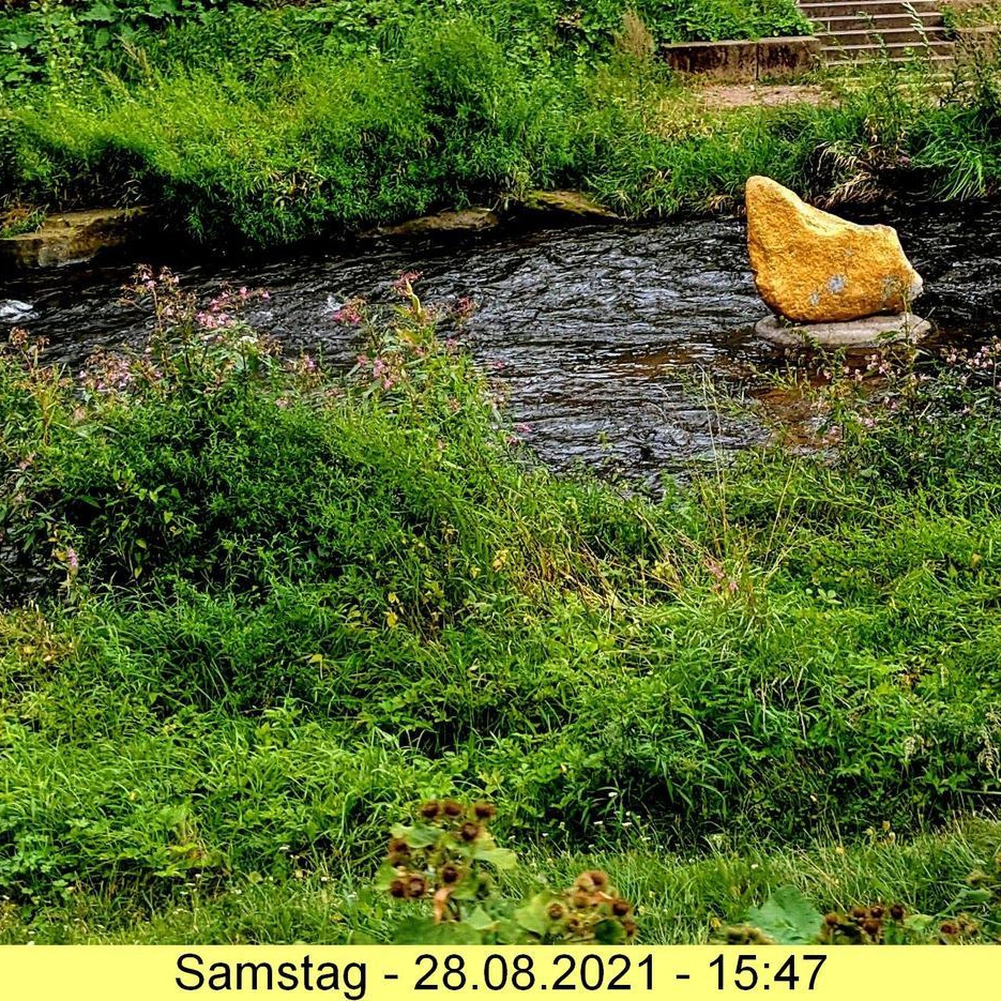
Lake Amance is a beautiful lake located in the Aube department of France, surrounded by the Forêt d'Orient regional natural park. If you're looking for a scenic and invigorating route, you can follow the Amance Lake Loop, a 9.2-mile trail that starts at Dienville Beach and circles the lake. You will be able to admire the water, the forest and the wildlife throughout the route. This is a moderate trail, suitable for running.
3
0
Lake Amance is a beautiful lake located in the Aube department of France, surrounded by the Forêt d'Orient regional natural park. If you're looking for a scenic and relaxing hike, you can follow the Amance Lake Loop, a 9.2-mile trail that starts at Dienville Beach and circles the lake. You'll enjoy views of the water, forest and wildlife along the way. The trail is moderate and suitable for hiking. You can also find places to watch birds or have a picnic. The trail is open all year round. Don't forget to bring water, sunscreen and a camera to immortalize the beauty of Lake Amance!
2
0
Frequently Asked Questions
What kind of terrain can I expect on hikes around Blaincourt-Sur-Aube?
The region around Blaincourt-Sur-Aube, particularly within the Orient Forest Regional Nature Park, features diverse terrain. You'll find extensive forests, primarily composed of oak and hornbeam trees, alongside tranquil lakeside paths around the three significant man-made lakes: Lake Amance, Lac du Temple, and Lac d'Orient. The area also includes wetlands, offering varied landscapes for exploration.
Are there many hiking options for beginners or families with children?
Yes, Blaincourt-Sur-Aube offers a good selection of easy routes suitable for beginners and families. There are 18 easy trails available. An excellent option is the Lake Amance – Lake Amance loop from Radonvilliers, which is 4.6 km long and takes about 1 hour 10 minutes to complete, offering gentle lakeside views.
What natural features or landmarks can I see along the hiking trails?
Many trails offer views of the region's prominent lakes, such as Lake Amance, Lac d'Auzon-Temple, and views of Forêt d'Orient Lake. You might also encounter the Frouasse Pond, the Ru de la fontaine aux oiseaux, and the Dienville Market Hall, which is part of the Lake Amance – Dienville Market Hall loop from Radonvilliers.
Are there any circular hiking routes available?
Yes, many of the trails around Blaincourt-Sur-Aube are circular, allowing you to start and end at the same point. For example, the Lake Amance – Tertre Chapel loop from Radonvilliers is an easy 6.9 km circular route, and the Connecting Canal Between Lakes – Observatory loop from Caron offers a moderate 12.7 km circular experience.
What is the best time of year to go hiking in Blaincourt-Sur-Aube?
The Aube department, where Blaincourt-Sur-Aube is located, is characterized by diverse landscapes that are beautiful throughout the year. Spring and autumn offer pleasant temperatures and vibrant colors, making them ideal for hiking. Summer is also popular, especially around the lakes, though it can be warmer. The region's forests and wetlands provide varied scenery regardless of the season.
How many hiking trails are there in Blaincourt-Sur-Aube?
There are over 50 hiking trails available around Blaincourt-Sur-Aube, catering to various skill levels. This includes 18 easy routes, 32 moderate routes, and 4 more challenging options.
What do other hikers say about the trails in Blaincourt-Sur-Aube?
The hiking routes in Blaincourt-Sur-Aube are highly rated by the komoot community, with an average score of 4.4 stars from over 140 reviews. Nearly 800 hikers have used komoot to explore the varied terrain, often praising the tranquil woodlands and scenic lakeside paths.
Are there any longer, more challenging hikes for experienced hikers?
While the area is known for its accessible trails, there are 4 difficult routes for those seeking a greater challenge. Additionally, several moderate routes offer longer distances, such as the Connecting Canal Between Lakes – Observatory loop from Radonvilliers, which is 15.1 km long and takes nearly 4 hours to complete.
Can I find places to eat or stay near the hiking areas?
Blaincourt-Sur-Aube and nearby villages offer local amenities. The region encourages visitors to explore its heritage, which often includes charming villages with cafes and accommodation options. The Lake Amance – Dienville Market Hall loop from Radonvilliers, for instance, leads through lakeside and village scenery, suggesting opportunities for refreshments.
What are the typical elevation changes on hikes in this region?
The terrain around Blaincourt-Sur-Aube is generally gentle, with many routes featuring relatively low elevation gains. For example, the easy Lake Amance – Lake Amance loop from Radonvilliers has an elevation gain of only 12 meters. Even moderate trails like the Connecting Canal Between Lakes – Observatory loop from Caron have a manageable elevation gain of around 79 meters, making the area accessible for most hikers.
Most popular routes around Blaincourt-Sur-Aube
Most popular attractions around Blaincourt-Sur-Aube

Get inspired with the komoot mobile app


Explore more
Browse the best Hikes in other regions.
