The best running trails around Helferskirchen
4.5
(740)
6,299
runners
410
runs
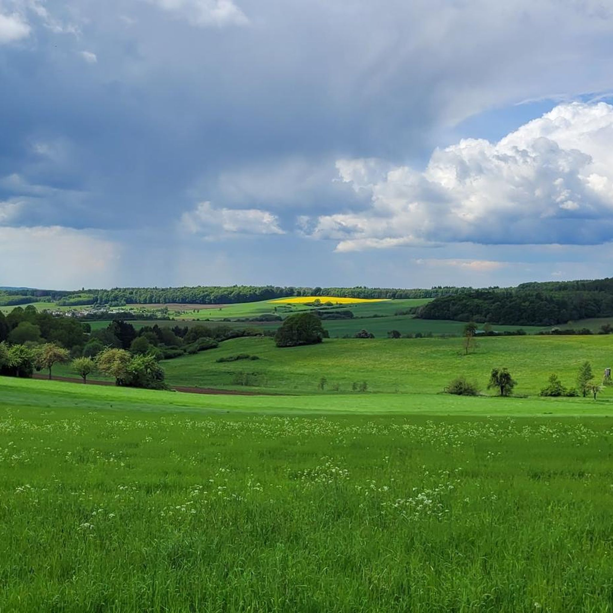
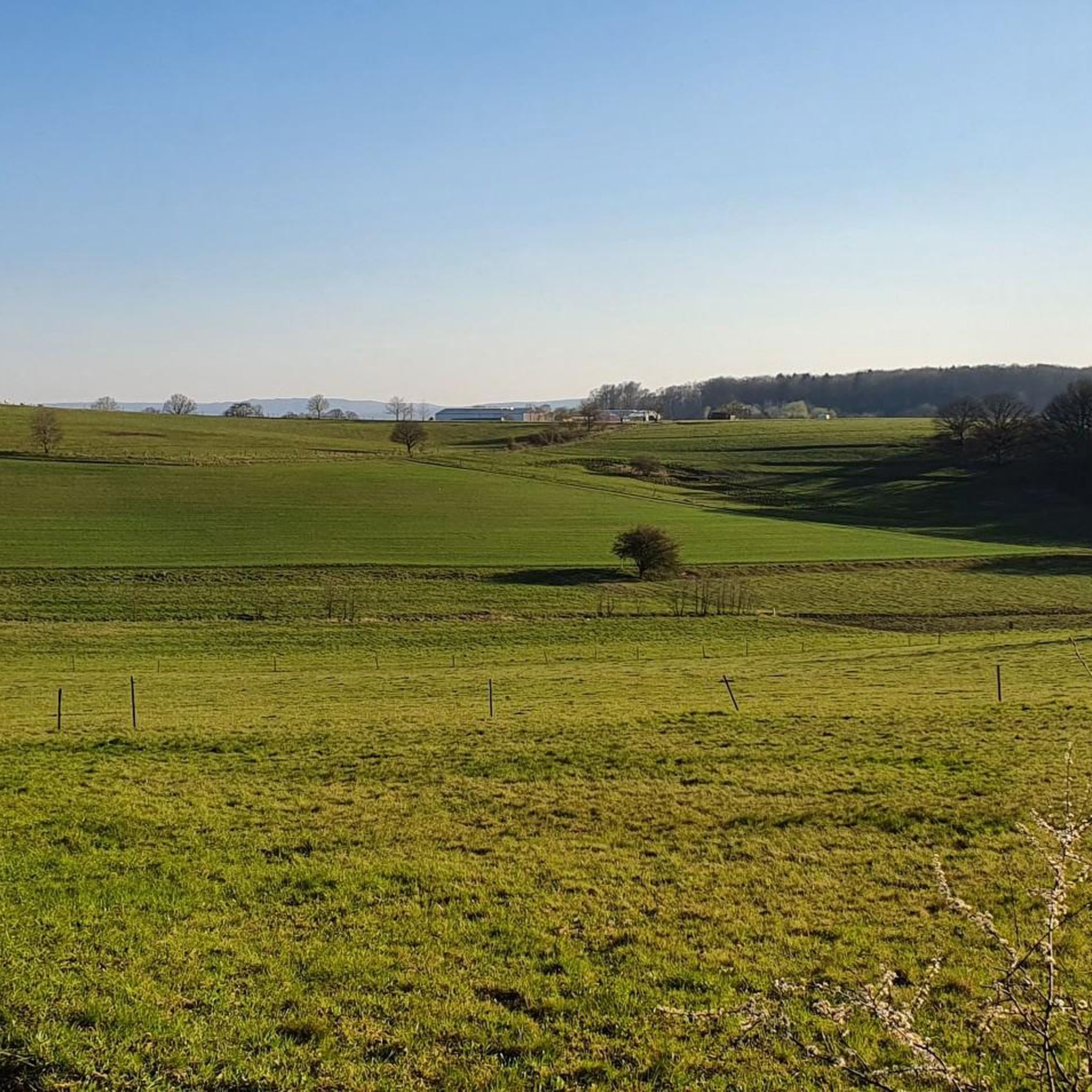
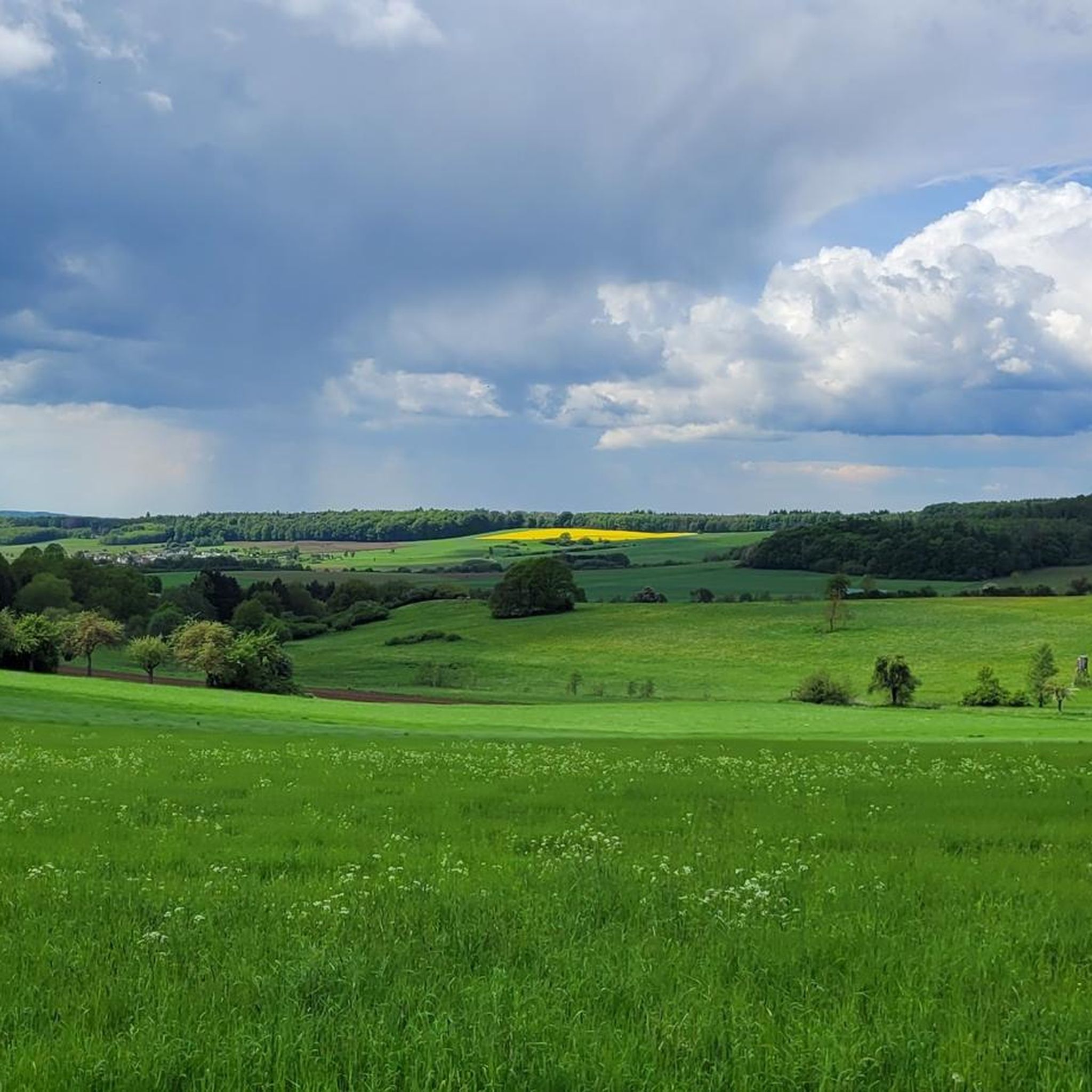
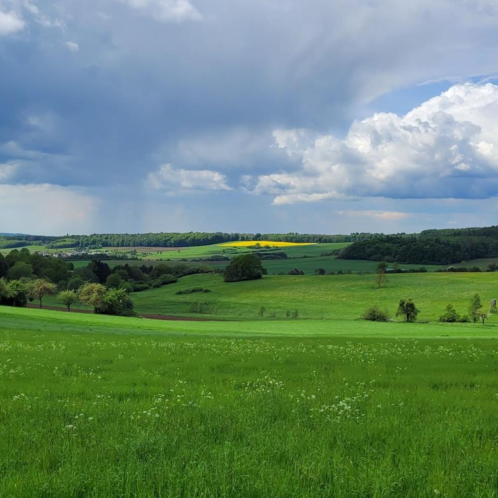
Jogging routes around Helferskirchen traverse the diverse landscapes of the Westerwald region, offering varied terrain for runners. The area features green forests, gently rolling hills, and serene river valleys, providing a natural backdrop for physical activity. Helferskirchen is situated near the Westerwald Lake District, including the Dreifelder Weiher, and is part of the Rhine-Westerwald Nature Park, ensuring preserved natural beauty. This region offers an extensive network of trails suitable for various running abilities.
Best jogging routes around Helferskirchen
- The most…
Last updated: June 30, 2026
5.0
(10)
25
runners
6.17km
00:41
70m
70m
Moderate run. Good fitness required. Mostly paved surfaces. Suitable for all skill levels.
5.0
(4)
17
runners
9.40km
01:00
100m
100m
Moderate run. Good fitness required. Mostly paved surfaces. Suitable for all skill levels.

Sign up for free
5.0
(3)
8
runners
15.1km
01:37
160m
160m
Hard run. Very good fitness required. Mostly paved surfaces. Suitable for all skill levels.
4.0
(4)
6
runners
8.71km
00:55
70m
70m
Moderate run. Good fitness required. Mostly paved surfaces. Suitable for all skill levels.
5.0
(5)
6
runners
6.37km
00:41
110m
110m
Moderate run. Good fitness required. Mostly paved surfaces. Suitable for all skill levels.
Get access to more routes and recommendations from other explorers.
Sign up for free
Already have an account?
Our route recommendations are based on thousands of hikes, rides, and runs completed by other people on komoot.
Start today with a free account
Your next adventure awaits.
Login or Signup

Tips from the Community

Incredibly, the building suddenly appears in the forest, huge and imposing.
0
0

Here you can take a nice break and look at the former mine.
0
0
Beautiful area
0
0
It is a wonderful ride, but the route is marked.
1
0

A lovely place to enjoy food and drinks while enjoying a wonderful view.
0
0

Many rest areas along the way
0
0

Clear information board with sufficient details about the volcanic activities around the Malberg.
1
0

The 422-meter-high, wooded Malberg is clearly visible from here. There used to be a protective castle on its summit. Today, only a few stones remain. You can find out more about this on an information board at the former site of the castle.
2
0
Frequently Asked Questions
How many running routes are available around Helferskirchen?
There are over 400 running routes in the Helferskirchen area, offering a wide variety of options for all skill levels. You'll find everything from easy paths to more challenging trails through the diverse Westerwald landscape.
What kind of terrain can I expect on jogging routes in Helferskirchen?
Jogging routes around Helferskirchen feature diverse terrain, including dense forests, gently rolling hills, and serene river valleys. You'll also find paths near the tranquil Westerwald Lake District, offering a varied and engaging backdrop for your run.
Are there easy running routes suitable for beginners or casual joggers?
Yes, Helferskirchen offers a good selection of easy running routes. Out of over 400 routes, 42 are classified as easy, providing gentle paths for beginners or those looking for a more relaxed run. A good example is the Three Oaks Cross – Siershahn Waterworks loop from Leuterod, which is a moderate route with gentle elevation changes.
Can I find challenging trail running routes with significant elevation in the area?
Absolutely. For those seeking a challenge, Helferskirchen has 45 difficult routes with more significant elevation changes. An example of a longer, more challenging route is the Three Oaks Cross – View of Malberg loop from Helferskirchen, which covers 9.4 miles (15.1 km) with notable ascents.
Are there any circular running routes around Helferskirchen?
Yes, many of the running routes in Helferskirchen are circular, allowing you to start and finish at the same point. The region's extensive network, including sections of the 'Wäller Touren' and 'Kleine Wäller', are designed as circular paths. For instance, the Siershahn Waterworks – Three Oaks Cross loop from Helferskirchen is a popular circular option.
What natural landmarks or points of interest can I see while running?
The Helferskirchen area, being part of the Rhine-Westerwald Nature Park, offers several natural highlights. You can run near the Dreifelder Pond within the Westerwald Lake District, known for its tranquil beauty and wooden boardwalks. Other points of interest include the Haidenweiher and the Hofmanns Pond.
Are there any historical or cultural sights along the running trails?
Yes, some trails in the region, particularly the 'Wäller Touren', combine nature experiences with cultural highlights. You might encounter sites like the Three Oaks Cross or the Vierherrenstein, which offer a glimpse into the area's history. The Malberg Volcano – Petschmorgen clay pit loop from Ötzingen also offers unique geological interest.
What do other runners say about the trails in Helferskirchen?
The running routes in Helferskirchen are highly regarded by the komoot community, holding an average rating of 4.5 stars from over 600 reviews. Runners often praise the varied terrain, the well-maintained paths, and the peaceful natural environment of the Westerwald region.
Is Helferskirchen a good place for family-friendly jogging or running with children?
Yes, the diverse trail network around Helferskirchen includes many routes suitable for families. The easier and moderate paths, often through forests or around lakes, provide a safe and enjoyable environment for running with children. Look for routes with minimal elevation for a more relaxed family outing.
Are the running trails in Helferskirchen dog-friendly?
Many of the natural trails and forest paths in the Helferskirchen area are suitable for running with dogs. The extensive network through the Westerwald region offers plenty of space for your canine companion to enjoy the outdoors. Always ensure your dog is under control and check for any specific local regulations regarding pets on trails.
What is the best time of year to go jogging in Helferskirchen?
Helferskirchen offers excellent jogging opportunities throughout the year. Spring brings lush greenery, summer provides shaded forest paths, autumn showcases vibrant foliage, and even winter can be beautiful with crisp air and snow-dusted landscapes. The well-maintained trails are generally accessible in most seasons, though conditions may vary.
Are there options for parking or public transport access to the running routes?
While specific parking details vary by route, many trailheads in the Helferskirchen area, especially those for popular 'Wäller Touren' and 'Kleine Wäller', offer designated parking. Public transport options might be more limited for direct trailhead access, but local bus services connect Helferskirchen to surrounding villages, from which some routes may be accessible.
Most popular routes around Helferskirchen
Most popular attractions around Helferskirchen

Get inspired with the komoot mobile app


Explore more
Browse the best Running Trails & Routes in other regions.
