The best mountain hikes around Bundenthal
5.0
(23)
85
hikers
15
hikes
Mountaineering routes around Bundenthal are characterized by the rugged terrain of the Palatinate Forest, featuring sandstone rock formations and dense woodlands. The region offers a variety of trails with notable elevation gains, providing scenic views across the landscape. These routes often traverse through forests and open areas, showcasing the natural beauty of the Südwestpfalz. The area's geology contributes to diverse paths suitable for mountaineering.
Best mountaineering routes around Bundenthal
- The most popular mountaineering route is View of Dahn – Elwetritsche…
Last updated: August 15, 2026
5.0
(3)
20
hikers
12.9km
03:53
270m
270m
Moderate mountaineering route. Good fitness required. Mostly accessible paths. Sure-footedness required.
4.8
(5)
11
hikers
12.7km
03:38
300m
300m
Moderate mountaineering route. Good fitness required. Easily-accessible paths. Suitable for all skill levels.

Sign up for free
5.0
(1)
5
hikers
9.77km
03:13
350m
350m
Moderate mountaineering route. Good fitness required. Mostly accessible paths. Sure-footedness required.
5.0
(3)
6
hikers
7.80km
02:23
210m
210m
Moderate mountaineering route. Good fitness required. Mostly accessible paths. Sure-footedness required.
5.0
(3)
7
hikers
Moderate mountaineering route. Good fitness required. Mostly accessible paths. Sure-footedness required.
Get access to more routes and recommendations from other explorers.
Sign up for free
Already have an account?
Our route recommendations are based on thousands of hikes, rides, and runs completed by other people on komoot.
Start today with a free account
Your next adventure awaits.
Login or Signup
Popular around Bundenthal
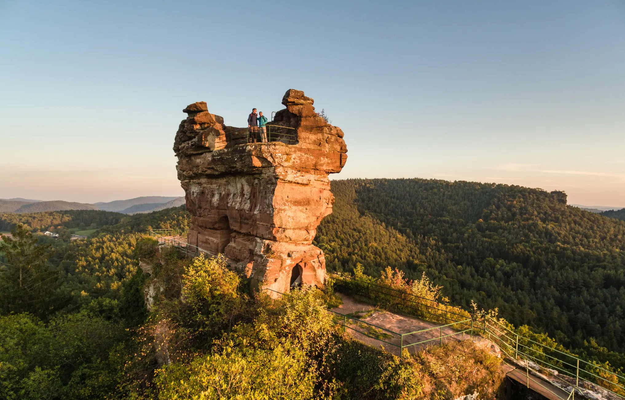
Wonderfully devilish tales – Germany’s Felsenland Legend Trail

There is no off-season — Germany's low mountain ranges
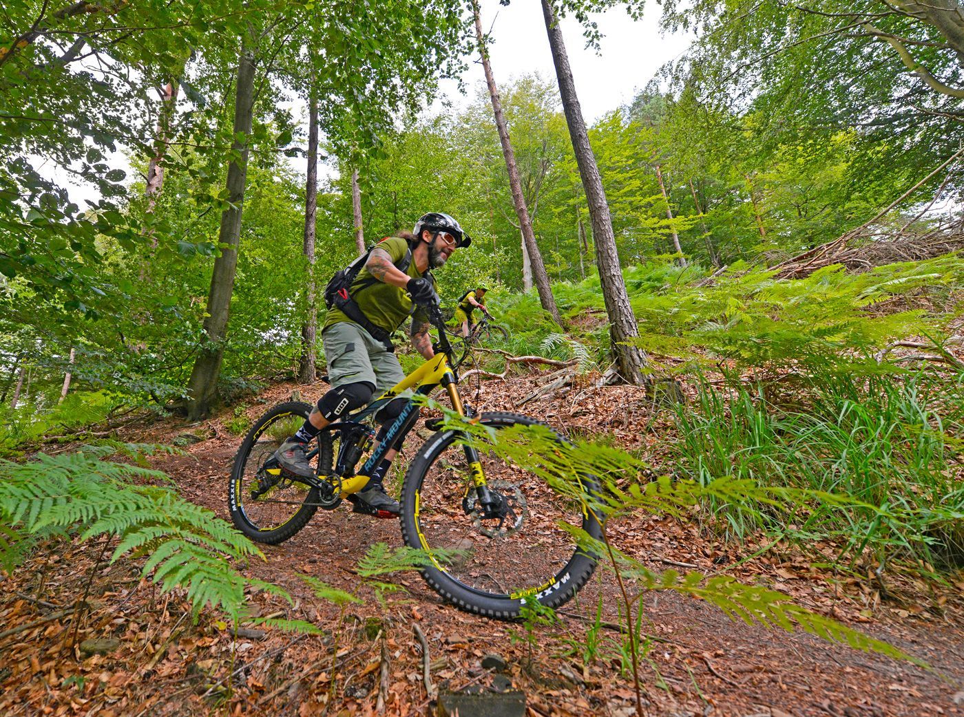
Offizielle Mountainbiketouren im Wasgau
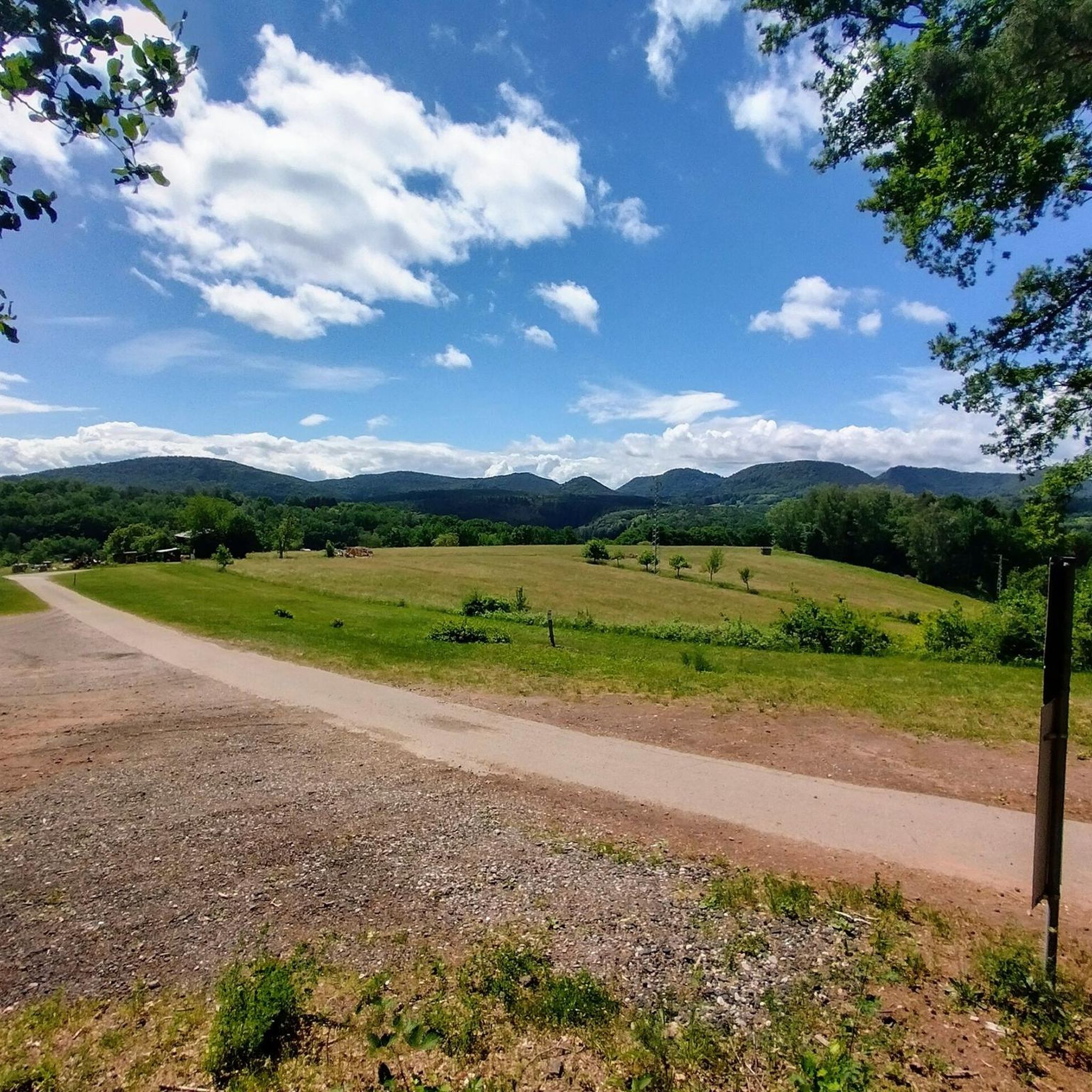
Cycling around Bundenthal
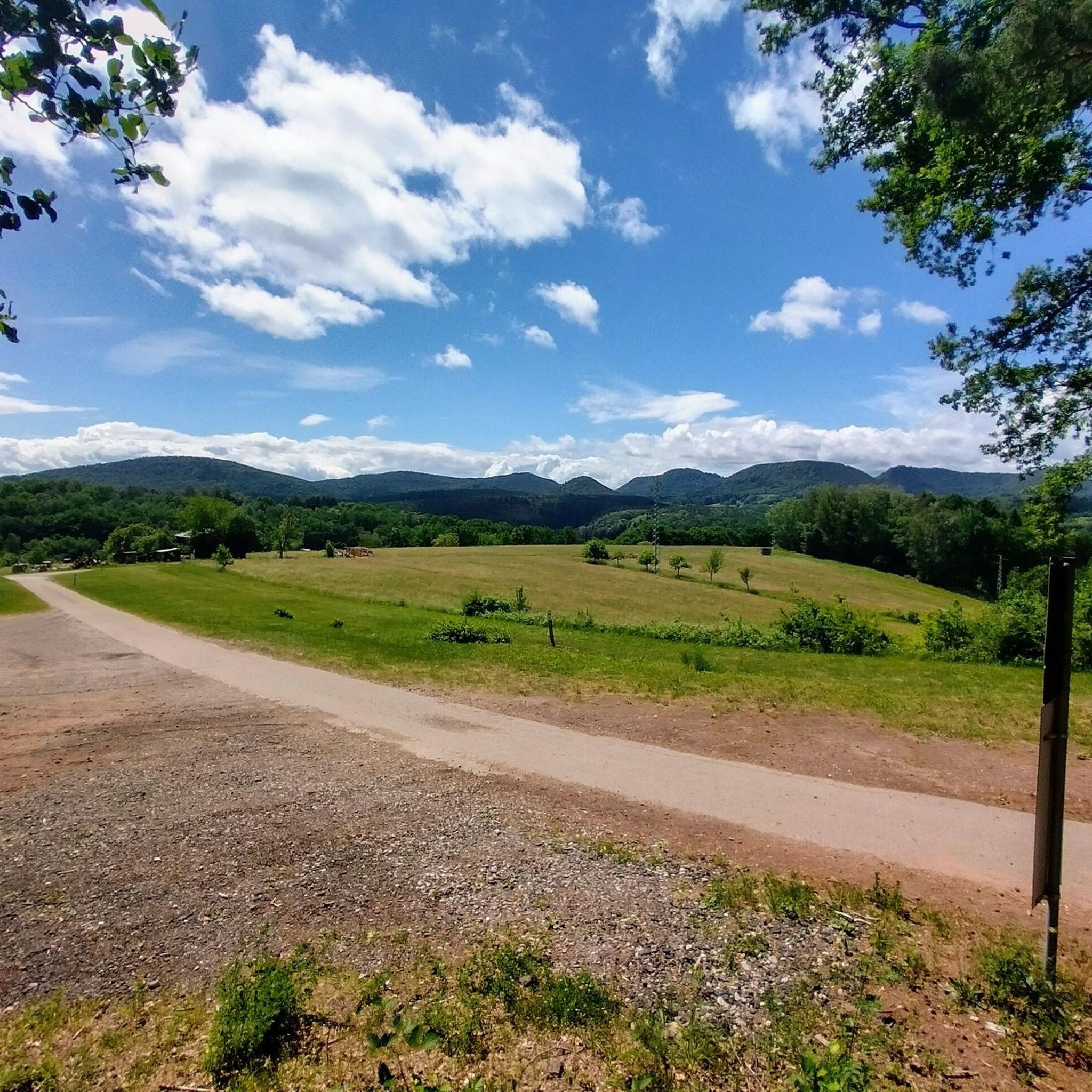
Hiking around Bundenthal
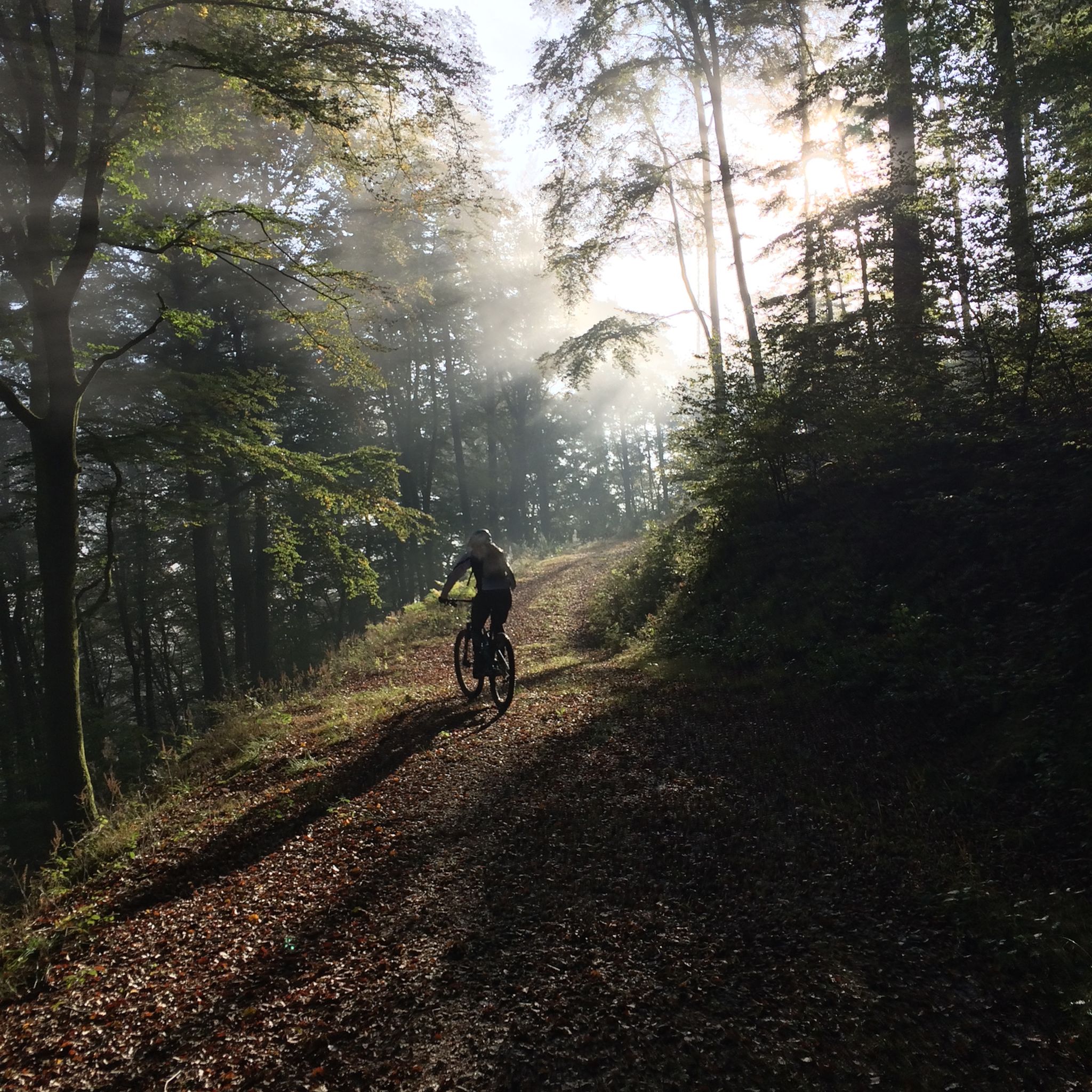
MTB Trails around Bundenthal
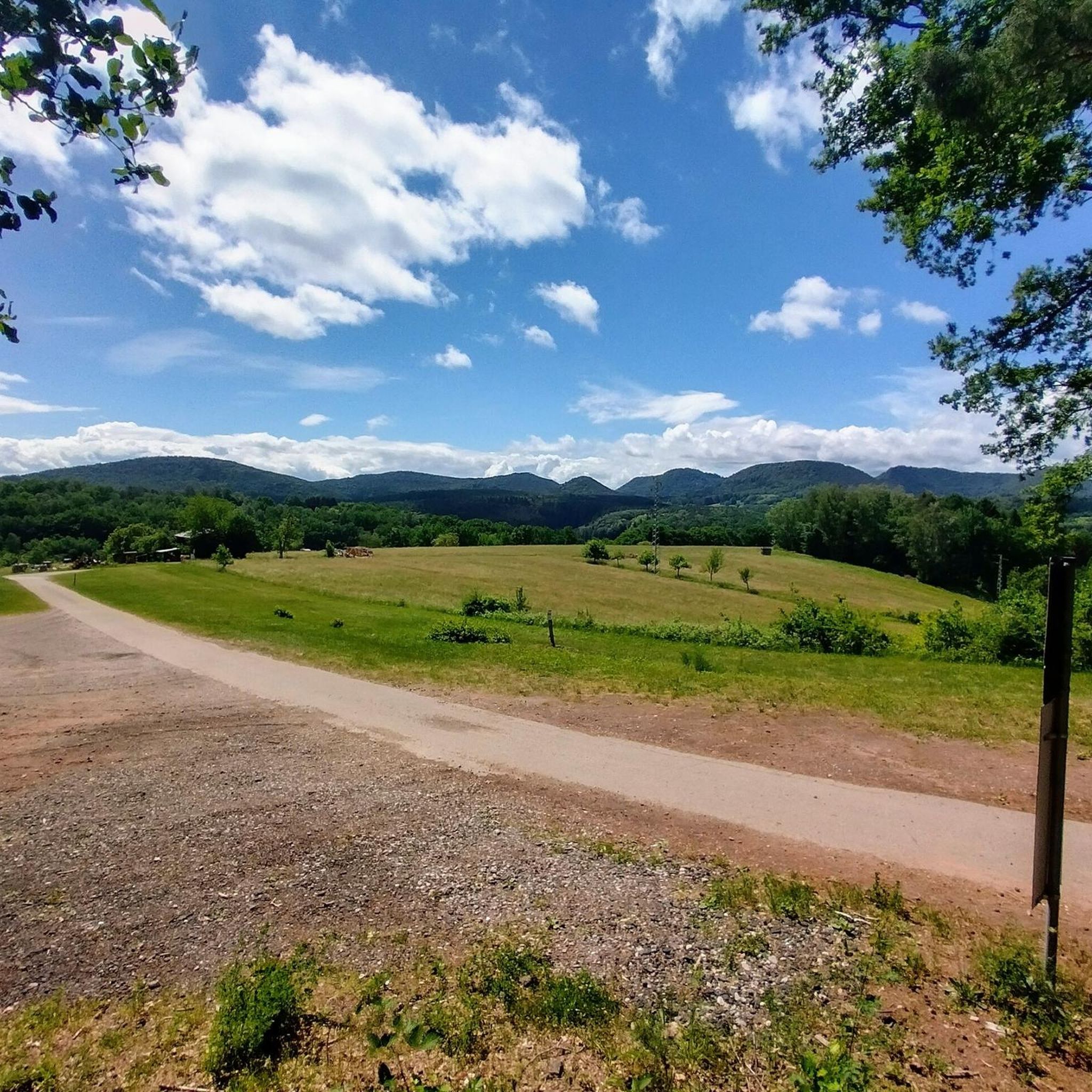
Road Cycling Routes around Bundenthal
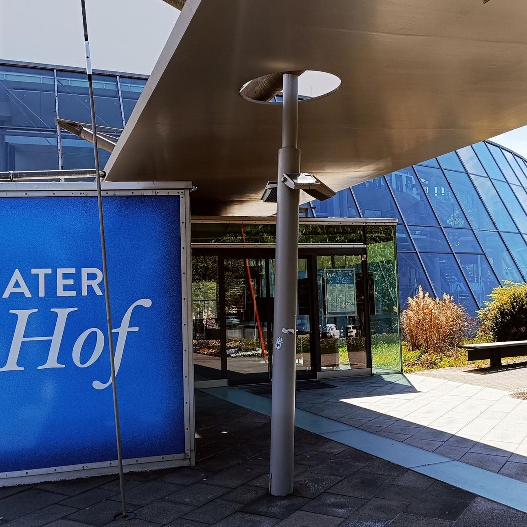
Gravel biking around Bundenthal
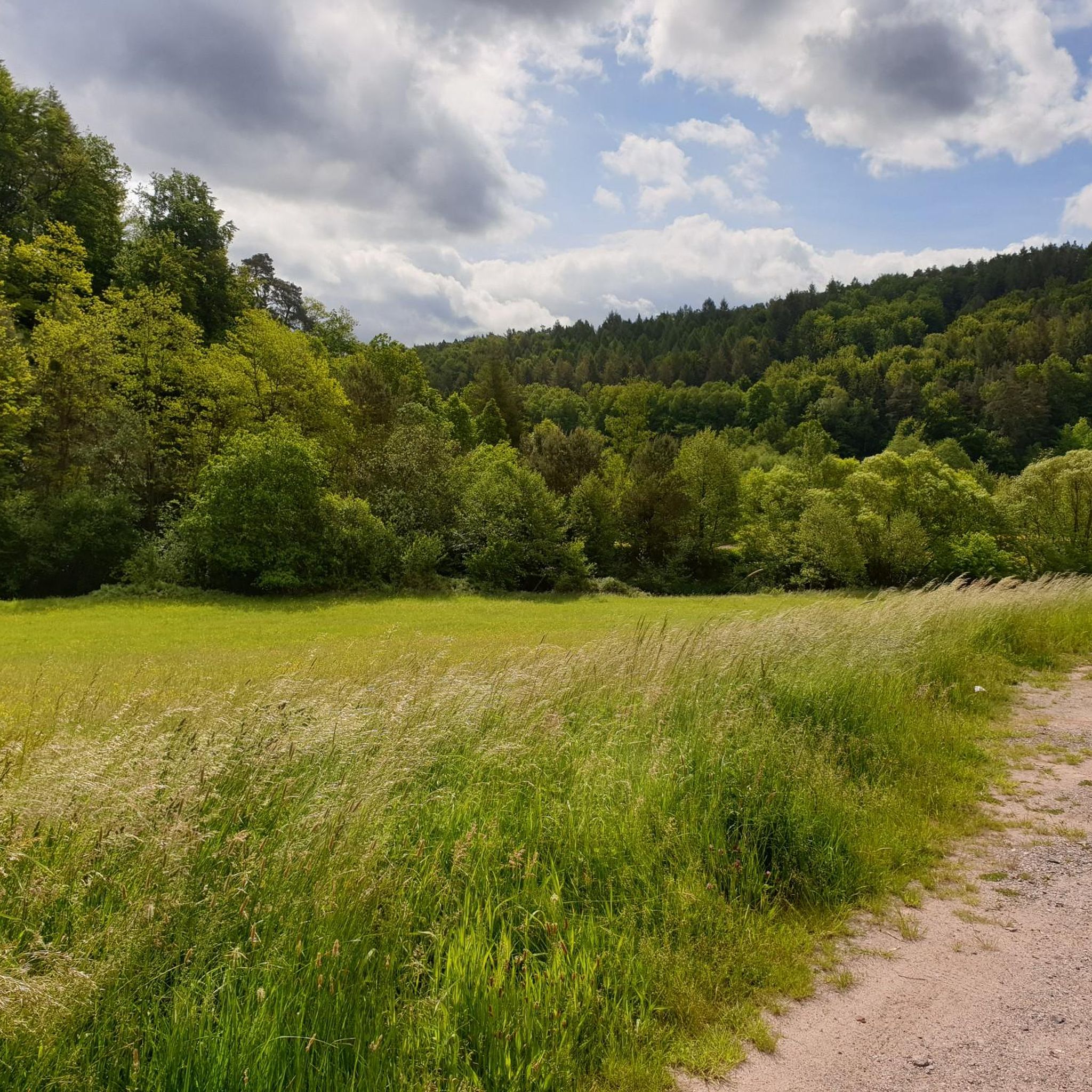
Running Trails around Bundenthal
Other adventures around Bundenthal


Tips from the Community

In neat rows on every mountain ridge stand the glowing red sandstone rocks in the Dahn Felsenland. Most can be easily hiked and some even climbed, and are great viewpoints.
2
0
This is the Büttelfels, part of the premium hiking trail Dahner Felsenpfad. The starting point for the great loop is, among other places, at the Sportpark Dahn, a few hundred meters from the Büttelfels.
2
0

The silhouette suggests a monster or a hissing dragon.
0
0

Since parking in Nothweiler (exception: visitor parking lot of the visitor mine) is prohibited almost everywhere in the village, this visitor parking lot is very well suited as a starting point (for hikes to Wegelnburg, to Fleckenstein Castle ruins or for the German-French premium hiking trail "Grenzgängerweg").
1
0

Delicious, Delicious, Delicious. Did I say Delicious yet? ... and Palatinate prices.
1
0

Impressive rock formations can be seen time and again along the circular route through the Dahner Felsenland (Dahn Rock Country).
1
0
Frequently Asked Questions
How many mountaineering routes are available around Bundenthal?
There are over 15 distinct mountaineering routes around Bundenthal, offering a variety of experiences through the Palatinate Forest. These routes are highly rated by the komoot community, with an average score of 5.0 stars.
What is the typical difficulty level of mountaineering routes in Bundenthal?
The majority of mountaineering routes in Bundenthal are classified as moderate, making them accessible to a wide range of hikers. There is also at least one difficult route for those seeking a greater challenge. These trails often feature significant elevation gains and varied terrain, including forest paths and rock formations.
Are there any routes suitable for beginners or families in Bundenthal?
While most routes are moderate, some can be adapted for families or beginners by choosing shorter sections or routes with less elevation gain. For example, the Wachtfelsen Viewpoint – Lochfelsen loop from Dahn Süd is a moderate 7.8-mile (12.5 km) trail that offers beautiful views without being overly strenuous, making it a good option for those looking for a less demanding experience.
What kind of terrain can I expect on mountaineering routes around Bundenthal?
Mountaineering routes around Bundenthal are characterized by the rugged terrain of the Palatinate Forest. You can expect to traverse through dense woodlands, encounter impressive sandstone rock formations like the Bride and Groom Rock Formations, and experience notable elevation changes. Many paths offer scenic views across the Südwestpfalz region.
Are there circular mountaineering routes available in Bundenthal?
Yes, many of the mountaineering routes in Bundenthal are designed as circular loops, allowing you to start and end at the same point. Popular options include the View of Dahn – Elwetritsche Rock loop from Dahn and the Railway Cliff – Napoleon Rock loop from Bruchweiler-Bärenbach, both offering diverse landscapes and points of interest.
What is the average duration and distance for mountaineering routes in Bundenthal?
Mountaineering routes in Bundenthal typically range from 6 to 13 kilometers (approximately 3.7 to 8 miles) in distance, with durations varying from 2.5 to 4 hours. For instance, the View from Wegelnburg Castle – Hohenbourg Castle loop from Nothweiler is about 10.8 km (6.7 miles) and takes around 3 hours 30 minutes to complete.
When is the best time of year to go mountaineering in Bundenthal?
The Palatinate Forest is beautiful year-round, but spring and autumn generally offer the most pleasant conditions for mountaineering in Bundenthal. The weather is milder, and the foliage provides stunning colors. Summer can also be enjoyable, especially in the shaded forest sections, but be prepared for warmer temperatures. Winter mountaineering is possible, but some paths might be slippery or require appropriate gear.
What natural attractions or landmarks can I see along the mountaineering routes?
The routes are rich with natural beauty and unique rock formations. You can discover highlights such as the Swallows' Rock, the Rock Passage Near Büttelfelsen, and the impressive Ungeheuer Rock. These natural monuments are often integrated into the trails, providing memorable sights.
Are there any historical sites or castles to explore on these routes?
Yes, the Bundenthal area is known for its historic castle ruins. Several mountaineering routes lead past or to these fascinating sites. For example, the View from Wegelnburg Castle – Hohenbourg Castle loop from Nothweiler takes you through historic castle ruins and along forested ridges, offering a glimpse into the region's past.
What do other mountaineers enjoy most about the routes in Bundenthal?
The komoot community highly rates the mountaineering routes in Bundenthal, with an average score of 5.0 stars from over 20 reviews. Mountaineers frequently praise the diverse terrain, the stunning sandstone rock formations, the dense forests, and the historical castle ruins that add a unique character to the trails. The well-maintained paths and scenic views are also often highlighted.
Where can I find parking for mountaineering trails in Bundenthal?
Many popular trailheads around Bundenthal, especially those near towns like Dahn, Bruchweiler-Bärenbach, and Nothweiler, offer designated parking areas. It's advisable to check the specific route details on komoot for information on parking availability at the starting point of your chosen tour.
Is it possible to find cafes or refreshment stops along the mountaineering routes?
While some routes might pass through or near villages where cafes or guesthouses are available, many sections of the Palatinate Forest are quite remote. It's always a good idea to carry sufficient water and snacks. For specific refreshment options, check the route details or local maps before you set out.
What should I wear or bring for mountaineering in Bundenthal?
Given the varied terrain and elevation changes, sturdy hiking boots with good ankle support are essential. Layered clothing is recommended to adapt to changing weather conditions, and rain gear is always a good idea. Don't forget water, snacks, a map or GPS device (like komoot), and sun protection. Hiking poles can also be beneficial on steeper sections.
Most popular routes around Bundenthal
Most popular attractions around Bundenthal

Get inspired with the komoot mobile app


Explore more
Browse the best Mountain Hikes & Routes in other regions.
