The best mountain hikes around Waldhambach
4.7
(6)
26
hikers
3
hikes
Mountaineering routes around Waldhambach are situated within the Pfälzerwald (Palatinate Forest), a UNESCO Biosphere Reserve known for its extensive forests and distinctive red sandstone rock formations. The region features rolling hills and prominent rock structures that provide varied terrain for ascents. These natural features, including the Kaiserbach Valley, contribute to a diverse landscape for outdoor activities.
Best mountaineering routes around Waldhambach
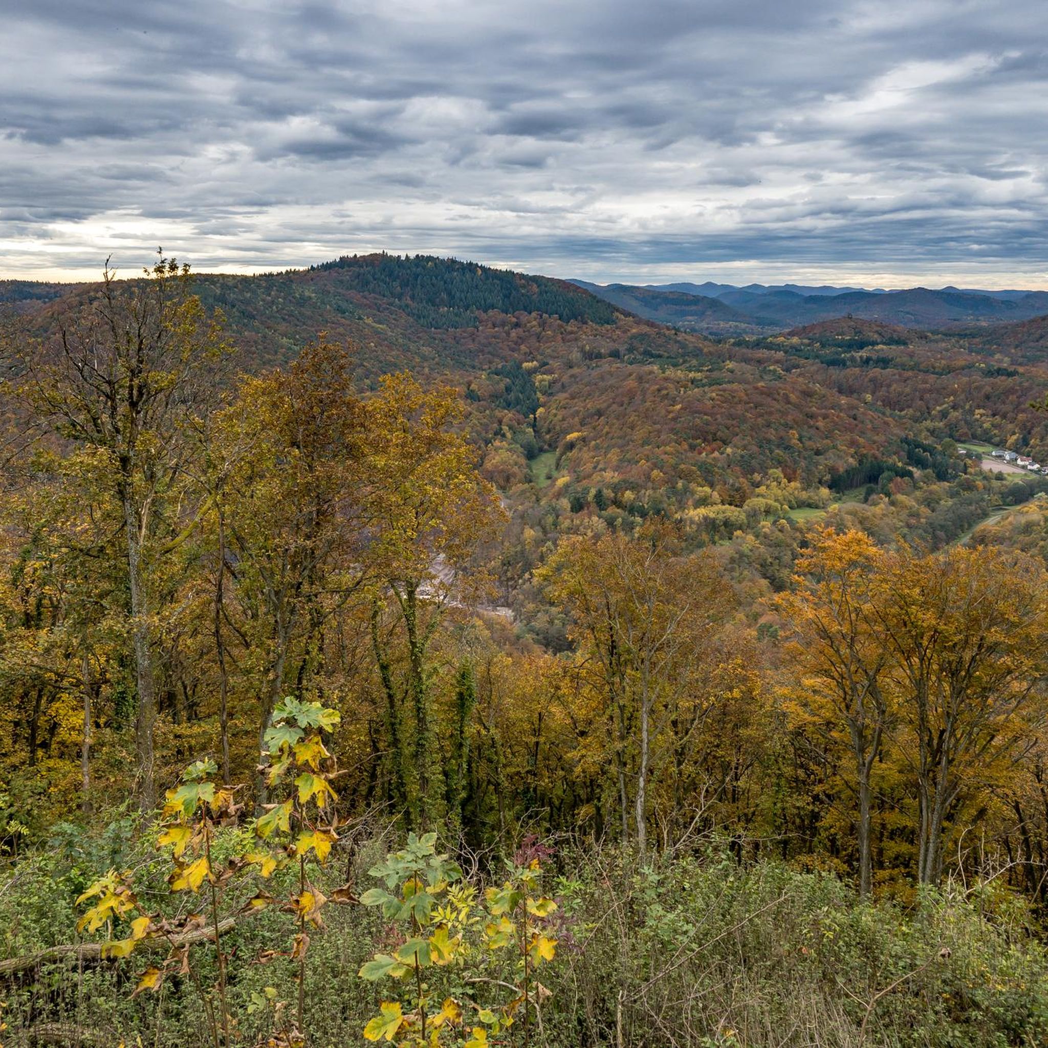
- The most popular mountaineering route is Bishop’s Cross on Teufelsberg – Dreimärker Stone loop from Albersweiler (Pfalz), a…
Last updated: October 5, 2026
4.0
(4)
8
hikers
Hard mountaineering route. Very good fitness required. Mostly accessible paths. Sure-footedness required.
4
hikers
6.49km
02:11
250m
250m
Moderate mountaineering route. Good fitness required. Mostly accessible paths. Sure-footedness required.

5.0
(1)
11
hikers
9.81km
03:27
370m
370m
Moderate mountaineering route. Good fitness required. Mostly accessible paths. Sure-footedness required.
5.0
(1)
3
hikers
8.19km
02:34
300m
300m
Moderate mountaineering route. Good fitness required. Easily-accessible paths. Suitable for all skill levels.
Our route recommendations are based on thousands of hikes, rides, and runs completed by other people on komoot.
Start today with a free account
Your next adventure awaits.
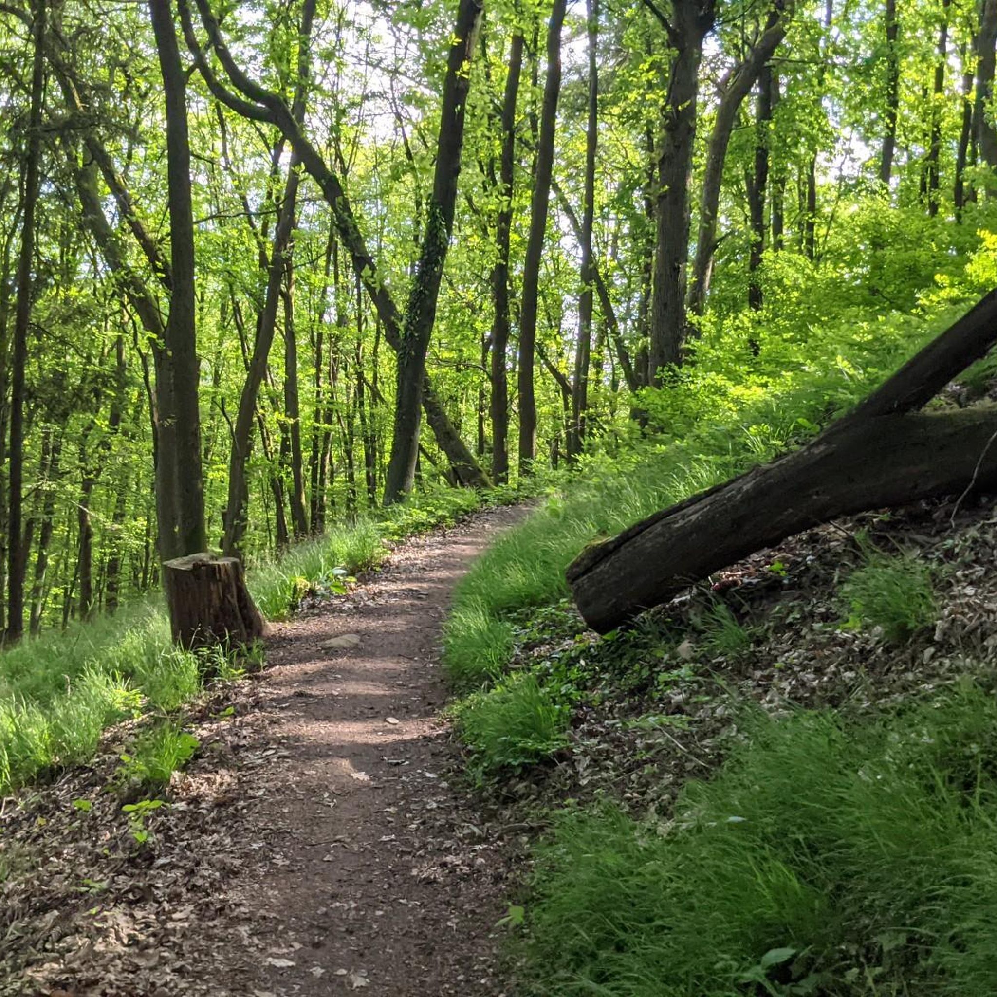
Tips from the Community

The Dimbacher Buntsandstein Höhenweg is an approximately 9.5 km long premium circular hiking trail in the Pfälzerwald, which leads past the striking Isselmannsteine, among other things.
2
0
From the summit and rock ledge of the Dimberg (420 m) on the Dimbacher Buntsandstein-Höhenweg, you can enjoy a magnificent, deep view into the valley, onto the village of Dimbach, and to the northeast towards the striking Geiersteine.
3
0

On the occasion of an interview about the writings of Saint Augustine (354 to 430), one question was what would the Bishop of Hippo want to say to us people of today? „I believe he would call on us to allow ourselves the luxury of silence, because we are all in a perpetual vortex of noise. And this is now the true luxury: a space of silence… in which one simply listens to the voice of one's own heart… We never listen to our heart, which is the most precious thing we have.“ (Silvia Guidi, L'Osservatore Romano). The rest area set up at this small sacred monument located here can invite us to do just that.
0
0

Above the wide hiking trail, a short path has been built to a large table with two benches. From this elevated position, you get an even better view of the Wasgau. At the same time, it is worth taking a snack break here.
4
0

Locals often refer to it as the "Wetterkreuz" instead of the Bischofskreuz. The last approx. 100 m to the summit can be managed with a mountain bike, but older bikers should partially push their bikes due to numerous tree roots and stones.
0
0

And we owe it to the formation of the Alps... they press down on the Earth's crust, which couldn't withstand the pressure... and broke apart and was pushed upwards.
7
0

You can see it from the reddish sheaf: these rocks consist, among other things, of Dandstein, a legacy of the Ice Age.
5
0

"The weather cross, consecrated in 1909 by Bishop Konrad von Busch (1847-1910) of Speyer, was created by stonemason Johann Minges and is the highest weather cross on the Haardt mountain range. Locally, it is also known as the Bishop's Cross." Source (quoted verbatim): https://www.kuladig.de/Objektansicht/KLD-272330 The following text (difficult to read) is inscribed on the base of the cross: "Behold the Cross of the Lord! // Flee, you hostile forces! // The Lion of Judah. // The Root of David has triumphed! // Alleluia, Alleluia! // (St. Anthony of Padua)" A vineyard (large vineyard area) in the Southern Palatinate is also called "Bischofskreuz" (Bishop's Cross).
3
0
Frequently Asked Questions
What kind of terrain can I expect on mountaineering routes around Waldhambach?
The mountaineering routes around Waldhambach are primarily within the Pfälzerwald (Palatinate Forest), characterized by extensive forests, rolling hills, and distinctive red sandstone rock formations. You'll encounter varied terrain, from forest paths to more rugged sections around prominent rock structures like those found on the Hoher Kopf Rock Formation – Dimbach Oak Spot loop from Dimbach.
Are there any challenging mountaineering routes in the Waldhambach area?
Yes, for those seeking a challenge, the region offers demanding routes. One difficult option is the Bishop’s Cross on Teufelsberg – Dreimärker Stone loop from Albersweiler (Pfalz), which is 22.1 km long with over 795 meters of elevation gain and typically takes nearly 7 hours to complete.
What are some moderate mountaineering options near Waldhambach?
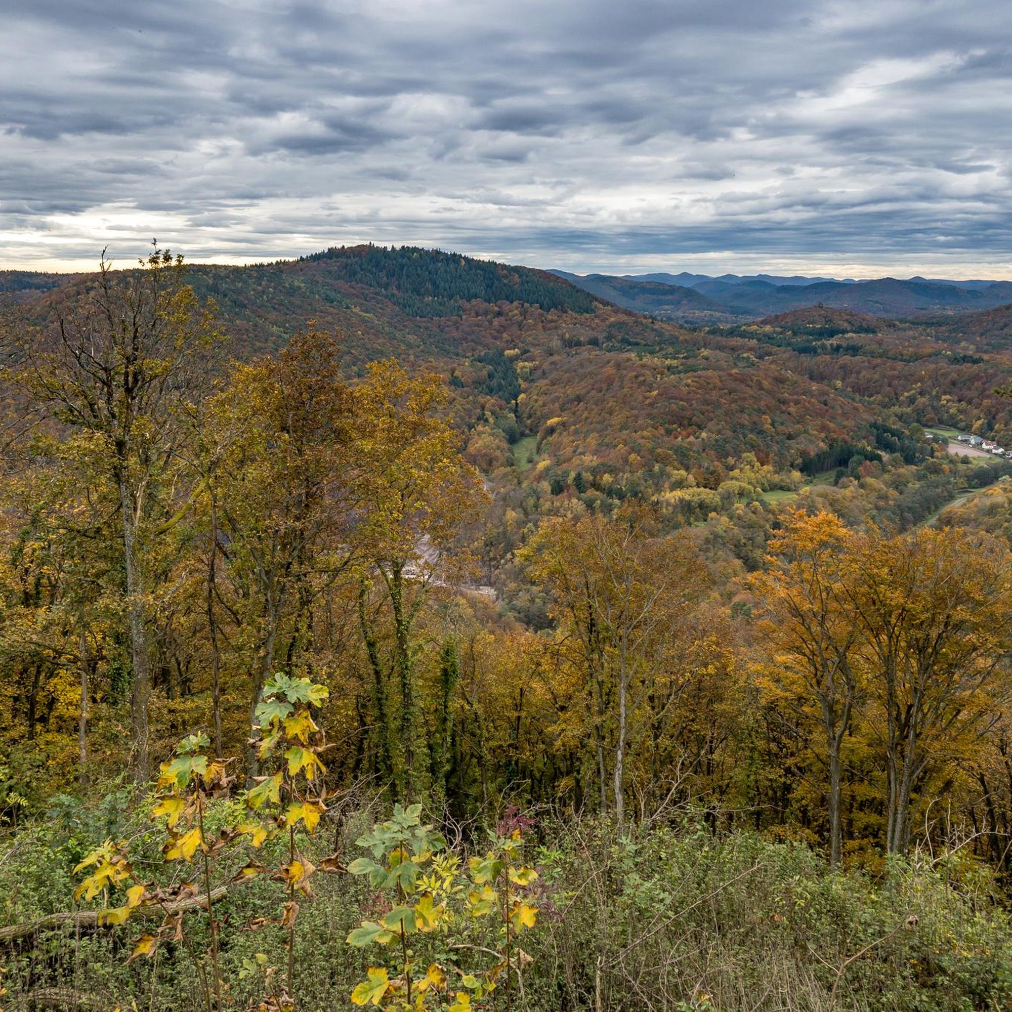
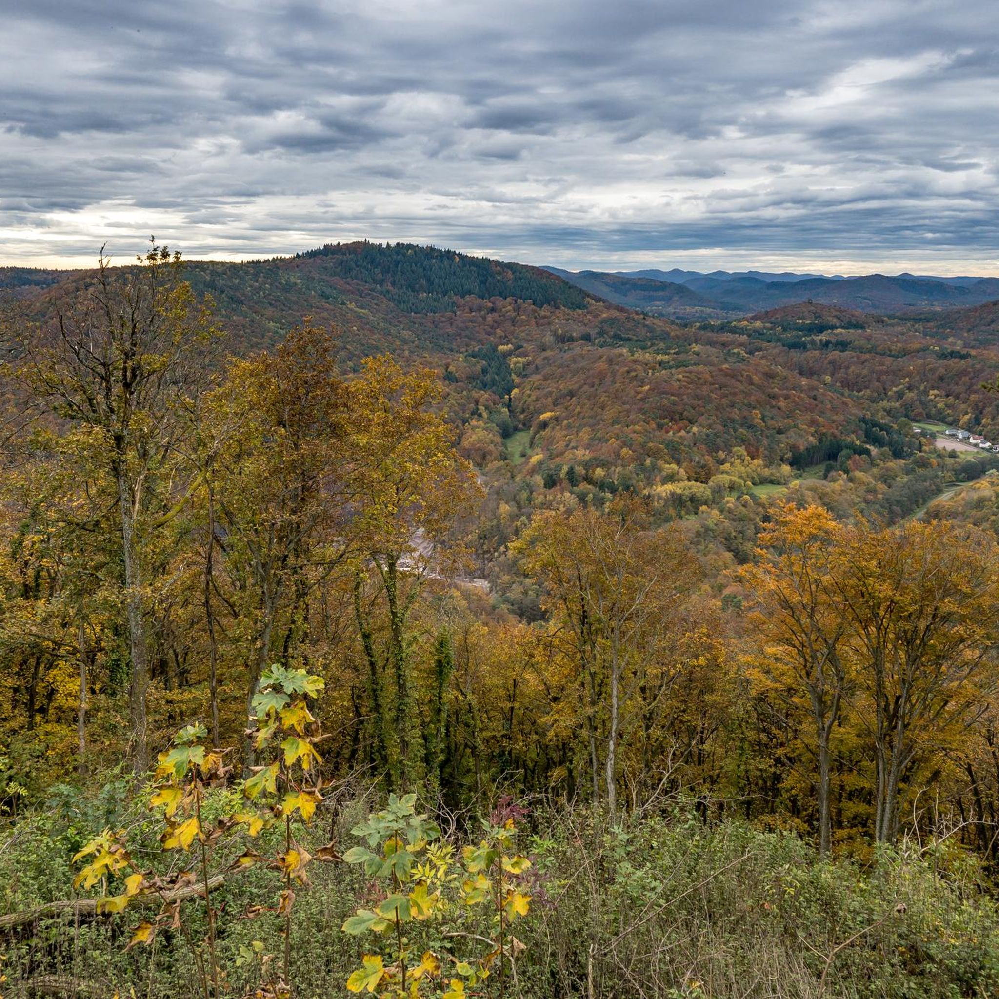
There are several moderate mountaineering routes available. The Hoher Kopf Rock Formation – Dimbach Oak Spot loop from Dimbach is a moderate 6.5 km path featuring notable rock formations. Another good choice is the Am Horn Rock Formation – Keeshäwel Rock Formation loop from Dimbach, a 9.8 km trail through areas with prominent rock structures.
Are there any circular mountaineering routes in Waldhambach?
Yes, many of the mountaineering routes in the area are circular, allowing you to start and end at the same point. Examples include the challenging Bishop’s Cross on Teufelsberg – Dreimärker Stone loop from Albersweiler (Pfalz) and the moderate Falkenburg Ruins – Middle Deichenwand Viewpoint loop from Wilgartswiesen.
What natural features or landmarks can I see along the mountaineering routes?
The region is known for its distinctive red sandstone rock formations, which are a highlight on many routes. You can also explore historical sites like the Madenburg Castle and Martinsturm on Treutelskopf. For natural beauty, the Kaiserbach Valley offers scenic views, and the Pfälzerwald is a UNESCO Biosphere Reserve with extensive forests.
What do other mountaineers say about the routes in Waldhambach?
The mountaineering routes in Waldhambach are highly rated by the komoot community, with an average score of 4.7 stars from over 6 reviews. Mountaineers often praise the varied terrain, the extensive forests, and the unique red sandstone rock formations that define the landscape.
Are there any lakes or recreation areas near the mountaineering trails?
Yes, there are several beautiful lakes and recreation areas nearby. You can visit Seehofweiher or the Klingbachaue Recreation Area. Lake Silz is also a popular spot, including its West Side.
Are there any historical sites or ruins accessible from the mountaineering routes?
Absolutely. The region is rich in history. You can find routes that lead to historical sites like the ruins of Madenburg Castle, which offers magnificent views over the Rhine plain. The Falkenburg Ruins – Middle Deichenwand Viewpoint loop from Wilgartswiesen is another route that incorporates historical ruins.
What is the best time of year for mountaineering in Waldhambach?
The Pfälzerwald offers beauty throughout the year. Spring brings blooming orchards, while autumn transforms the vineyards into a spectacle of warm colors, making both seasons particularly scenic for mountaineering. The extensive forests provide shade in summer, and the distinct rock formations are impressive in any season.
Are there any specific rock formations worth seeing on the trails?
The Palatinate Forest is renowned for its massive rock formations. Trails around Dimbach feature unique structures like the Rötzenfelsen. The Hoher Kopf Rock Formation – Dimbach Oak Spot loop from Dimbach and the Am Horn Rock Formation – Keeshäwel Rock Formation loop from Dimbach both highlight prominent rock structures.
How many mountaineering routes are available around Waldhambach?
There are several mountaineering routes available around Waldhambach, offering options for various skill levels. Currently, komoot features 3 dedicated mountaineering routes in this guide, with more options for hiking and climbing in the broader Palatinate Forest region.
Most popular routes around Waldhambach
Most popular attractions around Waldhambach

Get inspired with the komoot mobile app


Explore more
Browse the best Mountain Hikes & Routes in other regions.
