The best running trails around Niederotterbach
4.4
(416)
3,975
runners
536
runs
Jogging routes around Niederotterbach traverse the serene Otterbach valley, where the Otterbach stream meanders through gentle gradients. The region is characterized by a blend of agricultural lands and vineyards, offering expansive views and a rural atmosphere. Nearby, the Bienwald forest provides flat, level routes, some with historical interest. This diverse landscape offers varied terrain suitable for running.
Best jogging routes around Niederotterbach
- The most popular jogging route is Mundat Border Stones – Bismarck Oak (Natural Monument) loop from Steinfeld,…
Last updated: July 1, 2026
21
runners
Moderate run. Good fitness required. Mostly paved surfaces. Suitable for all skill levels.
15
runners
Moderate run. Good fitness required. Mostly paved surfaces. Suitable for all skill levels.

Sign up for free
12
runners
8.22km
00:51
30m
30m
Moderate run. Good fitness required. Mostly paved surfaces. Suitable for all skill levels.
5.0
(3)
10
runners
Moderate run. Good fitness required. Mostly paved surfaces. Suitable for all skill levels.
5.0
(1)
9
runners
4.73km
00:31
10m
10m
Easy run. Great for any fitness level. Mostly paved surfaces. Suitable for all skill levels.
Get access to more routes and recommendations from other explorers.
Sign up for free
Already have an account?
Our route recommendations are based on thousands of hikes, rides, and runs completed by other people on komoot.
Start today with a free account
Your next adventure awaits.
Login or Signup
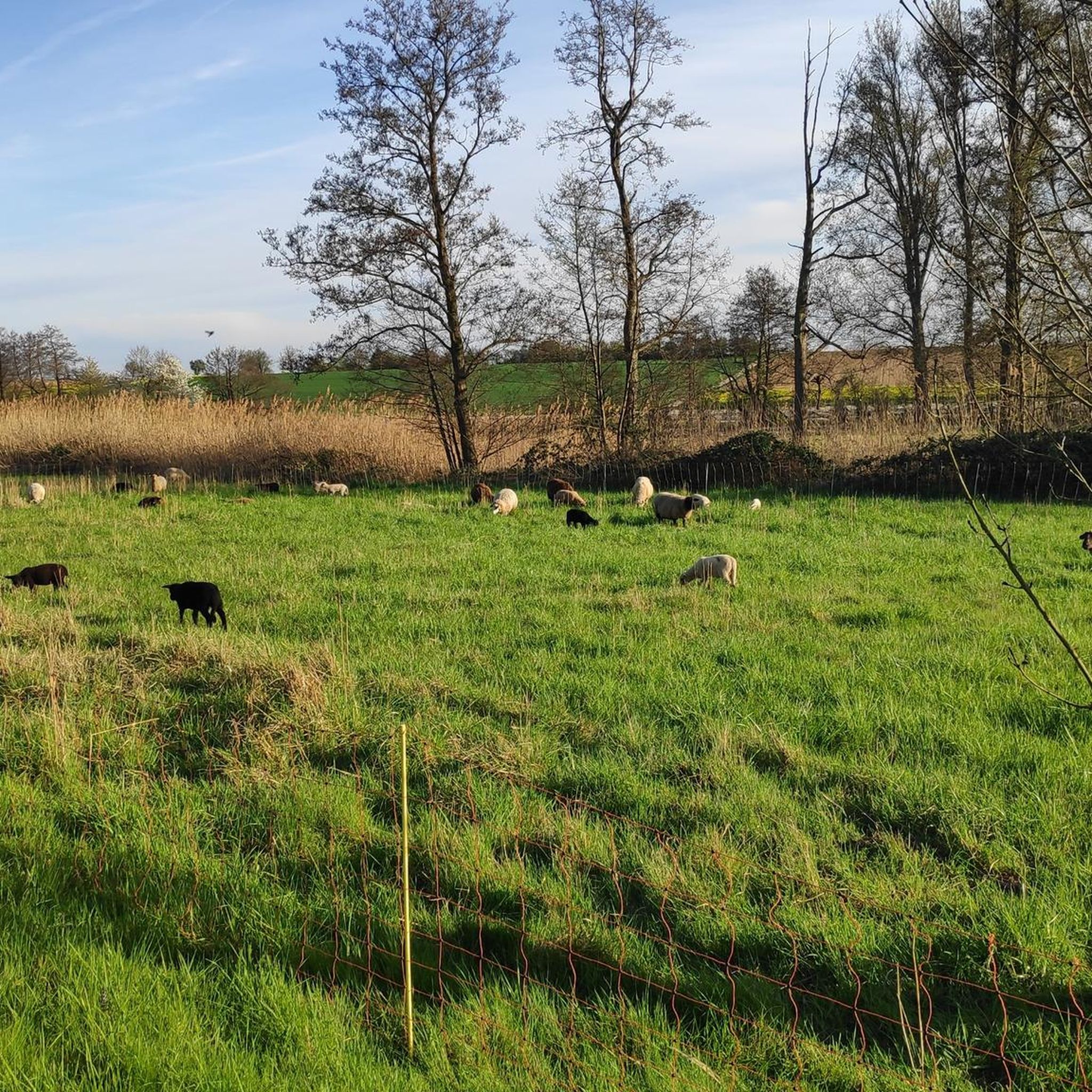
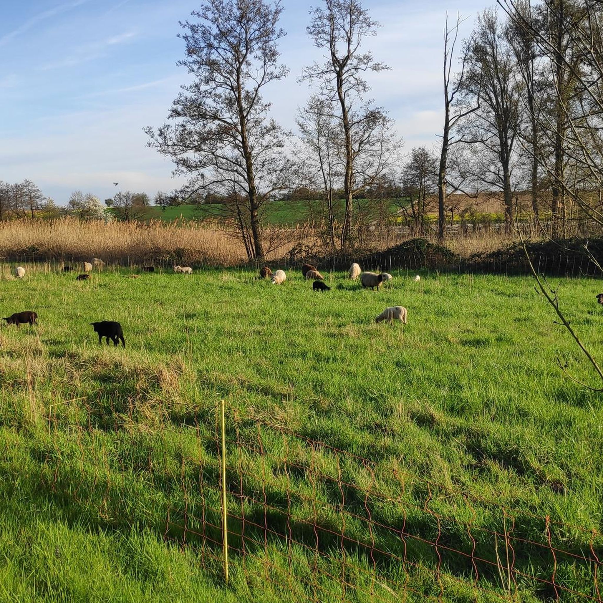
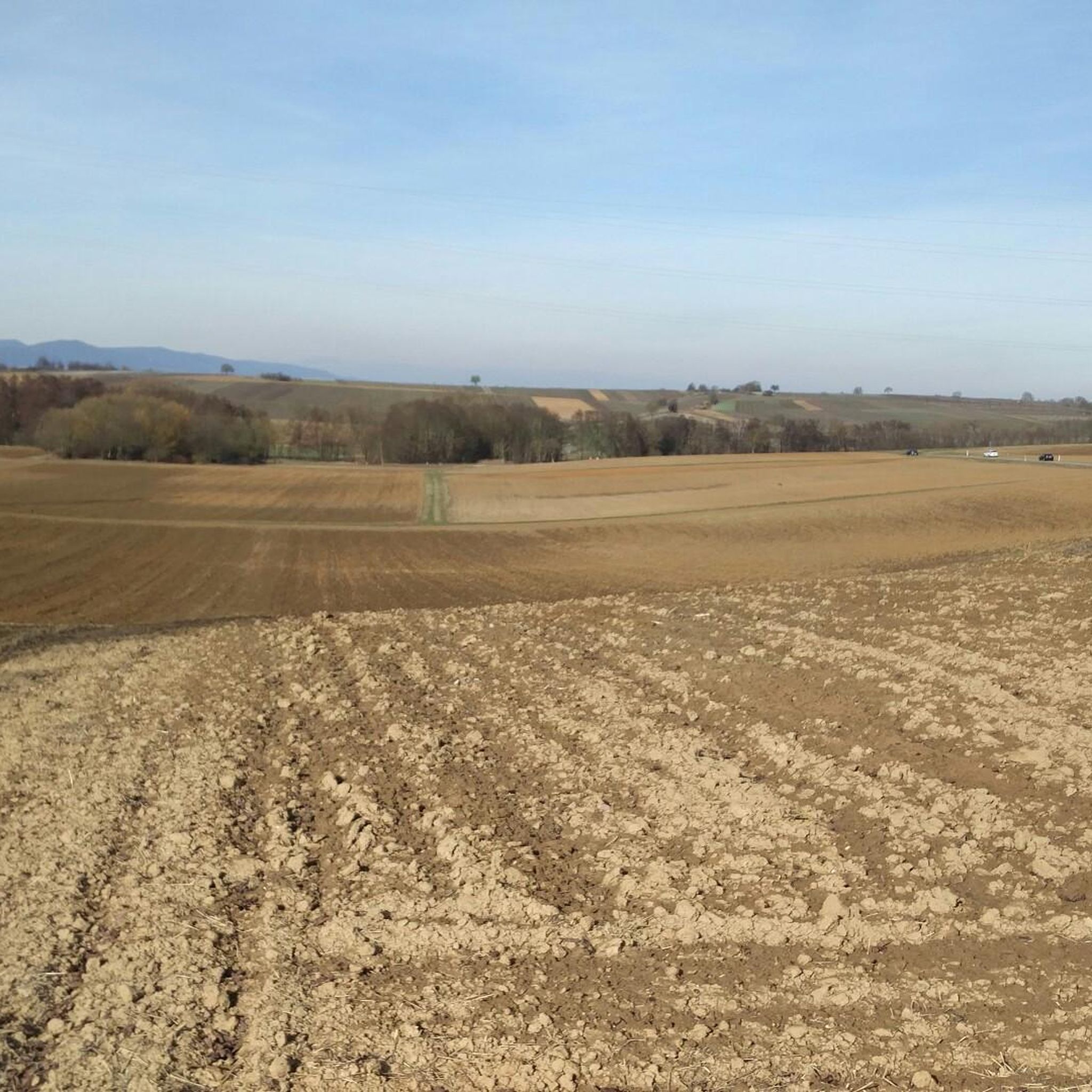
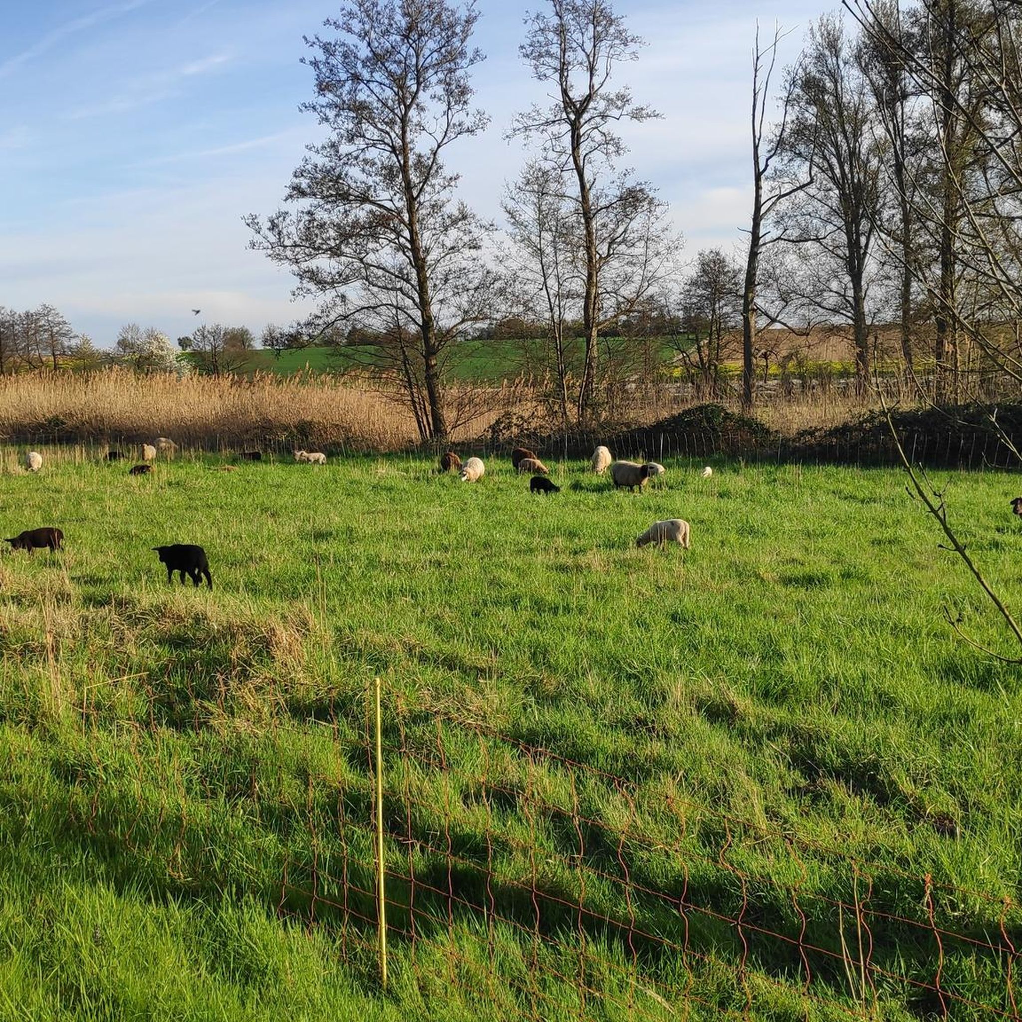
Tips from the Community

The Westwall was a military defense system over 600 km long during World War II. It consisted of several thousand bunkers, tunnels, trenches, minefields, and anti-tank obstacles and stretched along the western border of the then German Reich from Holland to Basel. The Westwall was built between 1936 and 1940 in three defensive lines, likely for propaganda reasons. Its French counterpart, the Maginot Line, was built between 1930 and 1936. In the Palatinate, a 10 km long anti-tank barrier ran from the Palatinate Forest near Oberotterbach through the Weißenburg Saddle to the Bienwald near Steinfeld. The second defensive line led from Göcklingen via Mörzheim, Impflingen, Insheim, in the direction of Herxheim. The anti-tank barrier was built in the form of dragon's teeth lines. Dragon's teeth made of reinforced concrete, placed in several rows and connected by a foundation, were intended to prevent enemy tanks from entering. Today, most of the Westwall has been dismantled, bunkers have been blown up. Relics of the dragon's teeth lines in the Palatinate can still be found near Steinfeld and Niederotterbach, as well as parts of the rear defensive line in Göcklingen and Mörzheim.
2
0

Funny rest area with rabbit sculptures
0
0

Beautiful gravel path in the Bienwald. Easy to ride even with touring bikes.
3
0

See beautiful section of the trail. Although the water looks brackish in places, it does not smell
0
0
Starting point of the Westwallweg. There is a large car park here, as well as a motorhome parking area and a small pub right next door.
0
0
Boundary stones between the monastery and the diocese of Speyer. Numerous Mundat stones can be seen along the border.
0
0

The very well signposted path is highly recommended
0
0
Beautiful monument next to it is a great resting place, but the traffic noise is very disturbing
1
0
Frequently Asked Questions
How many running routes are available around Niederotterbach?
There are over 500 running routes around Niederotterbach, offering a wide range of options for all skill levels. The komoot community has explored more than 530 tours in the area.
What kind of terrain can I expect on jogging routes near Niederotterbach?
Jogging routes near Niederotterbach feature diverse terrain. You'll find gentle gradients along the peaceful Otterbach valley, flat and level paths within the extensive Bienwald forest, and scenic trails winding through vineyards and agricultural lands, offering varied backdrops for your run.
Are there easy running routes suitable for beginners or casual joggers?
Yes, Niederotterbach offers a good selection of easy running routes. With over 60 easy tours available, you can find paths with minimal elevation gain, perfect for a relaxed jog. An example is the Running loop from Kapsweyer, which is rated as easy.
Can I find circular running routes in the Niederotterbach area?
Absolutely. Many of the running routes around Niederotterbach are circular, allowing you to start and finish at the same point. For instance, the Mundat Border Stones – Bismarck Oak (Natural Monument) loop from Steinfeld is a popular circular option.
Are there any interesting landmarks or natural features to see along the running trails?
Yes, the region around Niederotterbach is rich in natural and historical points of interest. You can encounter natural monuments like the Bismarck Oak, explore parts of the former Westwall area in the Bienwald forest, or enjoy views over vineyards. The Kakteenland Steinfeld – Mundat Border Stones loop from Vollmersweiler passes by natural monuments.
What do other runners enjoy most about jogging in Niederotterbach?
The running routes in Niederotterbach are highly rated by the komoot community, with an average score of 4.3 stars from over 380 reviews. Runners often praise the peaceful Otterbach valley, the extensive Bienwald forest, and the charming vineyard landscapes, which provide a diverse and scenic experience.
Are there any running routes that pass by castles or historical sites?
While the immediate jogging routes focus on natural landscapes, the broader region around Niederotterbach features several historical sites. You can find highlights like Landeck Castle or the Heidenschuh Fortification Ruins nearby, which could be combined with a run or visited separately.
Are the running trails around Niederotterbach suitable for families?
Many of the routes, especially the easy and moderate ones with gentle gradients and well-maintained paths, are suitable for families. The flat, level routes in the Bienwald forest are particularly good for a family outing. Always check the specific route details for distance and elevation to ensure it matches your family's ability.
Where can I find parking for the running routes in Niederotterbach?
While specific parking spots for each route are not detailed here, the presence of picnic areas like 'Picknickplatz am Otterbach' and 'Picknickplatz Blick über Steinfeld' suggests accessible locations. Many trailheads in the region, especially those starting from villages like Steinfeld or Kapsweyer, typically offer parking options for outdoor enthusiasts.
What is the best time of year to go running in Niederotterbach?
Niederotterbach offers pleasant running conditions throughout much of the year. Spring and autumn provide mild temperatures and beautiful scenery with blooming vineyards or colorful foliage. Summer is also enjoyable, especially in the shaded parts of the Bienwald forest or along the Otterbach stream. Winter runs are possible, but check local conditions for ice or snow.
Are there any running routes that offer views of the vineyards?
Yes, the region's traditional agriculture and viticulture mean that many jogging routes wind through vineyards, offering expansive views and a charming rural atmosphere. You'll frequently encounter these scenic backdrops on trails connecting villages and agricultural lands around Niederotterbach.
Can I combine my run with a visit to a local attraction like Kakteenland Steinfeld?
Absolutely. Some routes are specifically designed to incorporate local attractions. For example, the Kakteenland Steinfeld loop from Niederotterbach is a moderate path that offers a blend of rural scenery and specific local attractions like Kakteenland Steinfeld, making it a great option for combining exercise with sightseeing.
Most popular routes around Niederotterbach
Most popular attractions around Niederotterbach

Get inspired with the komoot mobile app


Explore more
Browse the best Running Trails & Routes in other regions.
