The best MTB trails around Ferrières-Saint-Mary
4.6
(23)
161
riders
20
rides
Mountain biking around Ferrières-Saint-Mary offers diverse terrain within the Cantal department of France. The region features varied altitudes, ranging from 658 meters to 1,183 meters, providing both challenging climbs and descents. This area is part of the "Grand Site de France Puy Mary – Volcan du Cantal," set on Europe's largest volcano, characterized by a mix of forests, moors, and significant natural features like Mont Journal. The Alagnon River also flows through the village, adding to the varied landscape.
Best…
Last updated: July 1, 2026
4.8
(6)
49
riders
77.9km
06:18
1,330m
1,330m
Hard mountain bike ride. Very good fitness required. Advanced riding skills necessary.
4.0
(2)
31
riders
80.6km
07:25
1,880m
1,880m
Hard mountain bike ride. Very good fitness required. Advanced riding skills necessary. Some portions of the route may require you to push your bike.

Sign up for free
3
riders
22.8km
01:51
460m
460m
Moderate mountain bike ride. Good fitness required. Suitable for all skill levels.
5.0
(1)
5
riders
16.4km
01:26
340m
330m
Moderate mountain bike ride. Good fitness required. Suitable for all skill levels.
4.9
(7)
7
riders
52.0km
04:40
1,090m
1,090m
Hard mountain bike ride. Very good fitness required. Suitable for all skill levels.
Get access to more routes and recommendations from other explorers.
Sign up for free
Already have an account?
Our route recommendations are based on thousands of hikes, rides, and runs completed by other people on komoot.
Start today with a free account
Your next adventure awaits.
Login or Signup
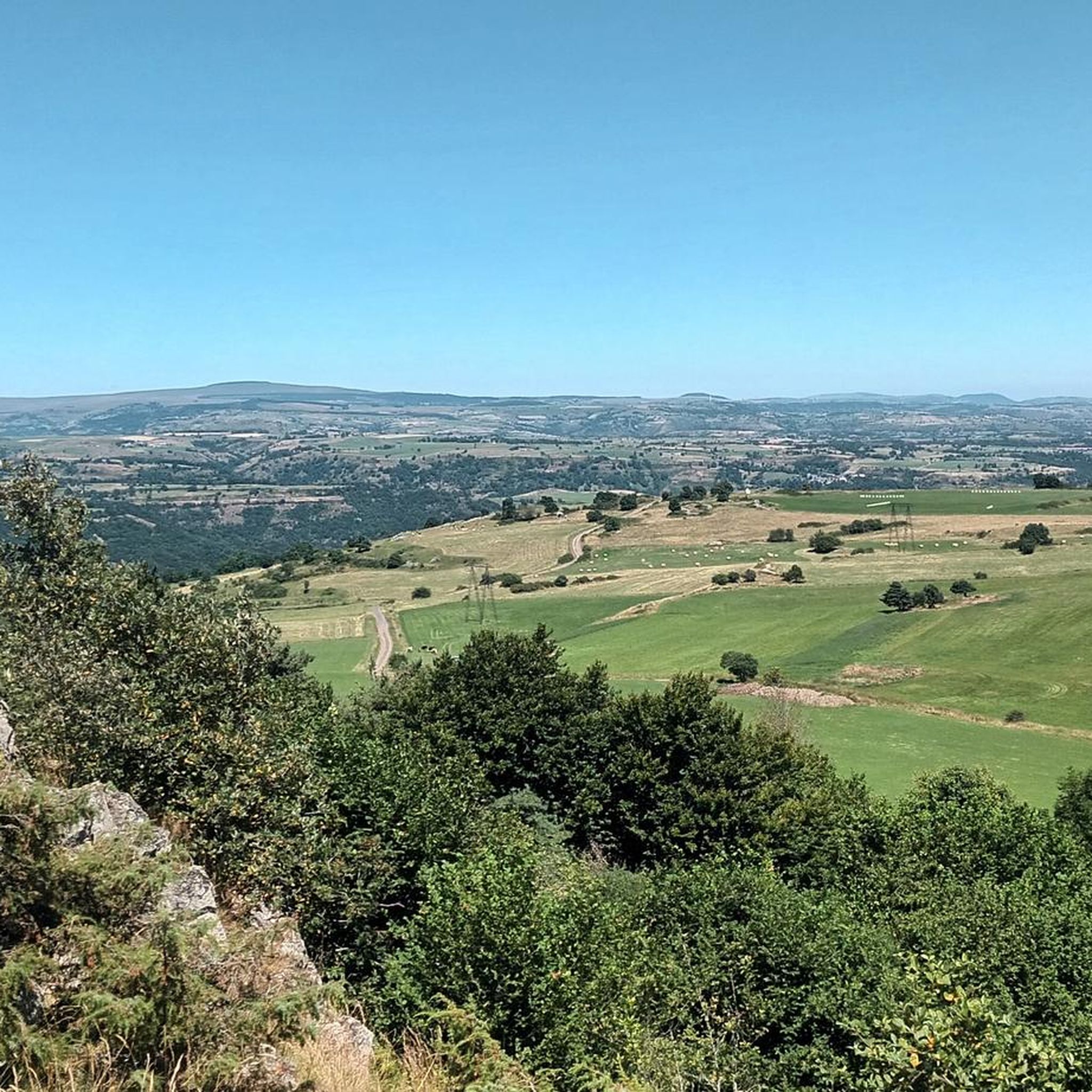
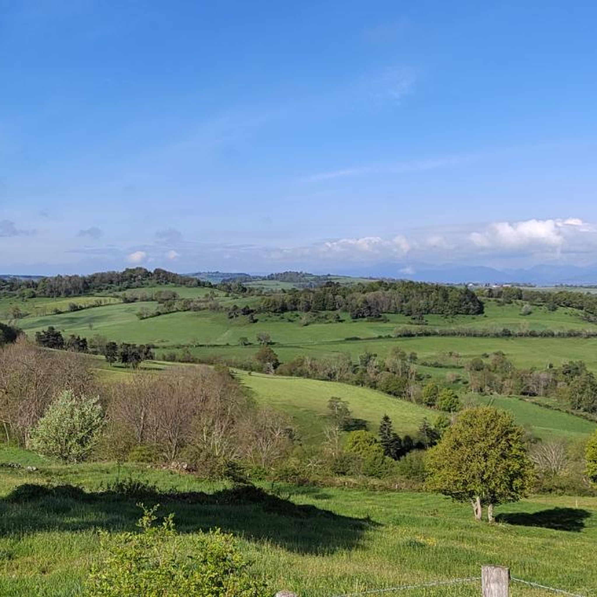
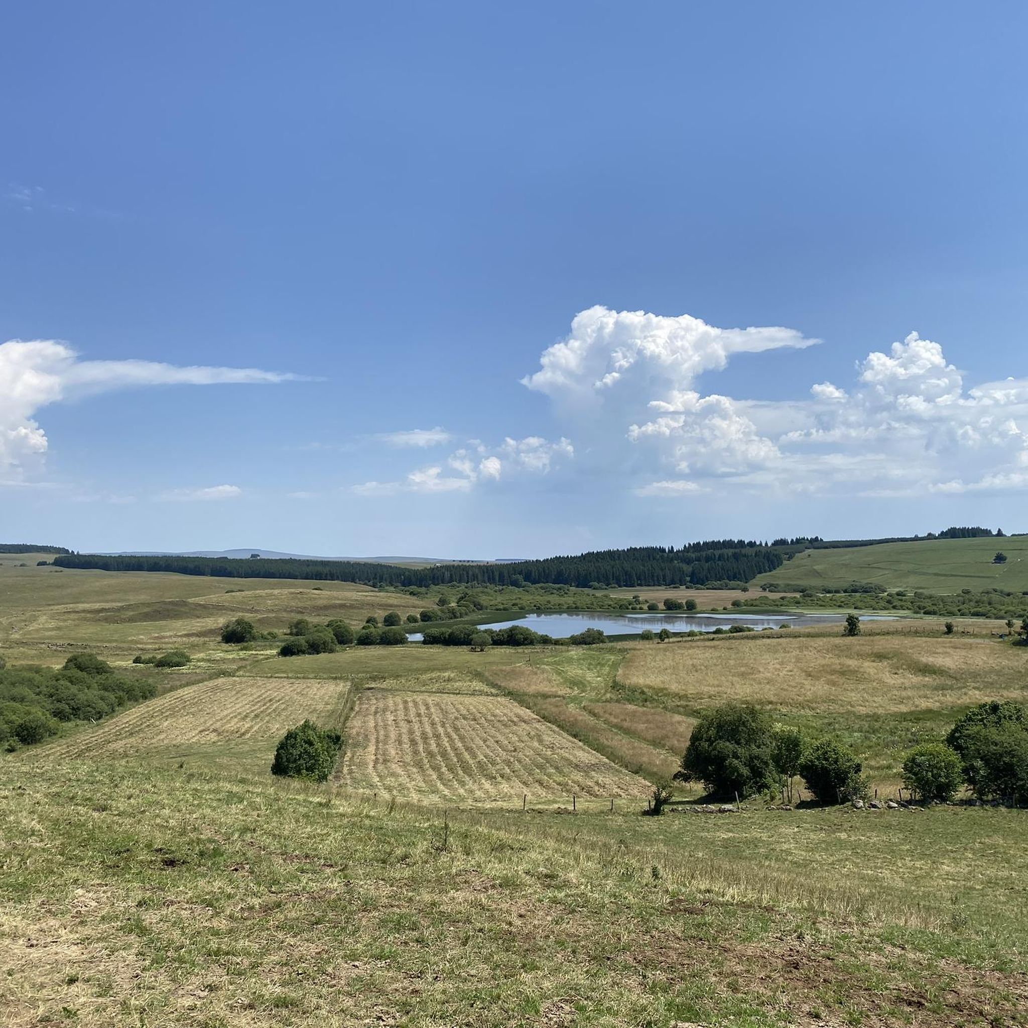

Tips from the Community

Very beautiful route The Volcanoes
0
0

Superb Gîte for a mountain bike stay exploring this region of Cantal
0
0

By bike you can see this castle from different angles. It is worth the detour.
1
0


Pretty little lake on the edges of the Murat national forest and above the Lagnon valley. It is an ideal place to rest in peace and in the shade of colleagues.
2
0

a 360° view of the Cantal, Lozère, Puy de Dôme... breathtaking
0
0

GTMC crossing beacon above Neussargues.
0
0

Magnificent hike with a big climb to reach the lead of Cantal (1855m altitude). It is better to take a jacket (it is very cold up there). The hike takes between 2h and 3h45 (with a break).
0
0
Frequently Asked Questions
How many mountain bike trails are available around Ferrières-Saint-Mary?
There are over 15 mountain bike trails around Ferrières-Saint-Mary, offering a variety of experiences. These include 2 easy routes, 13 moderate routes, and 4 difficult routes, catering to different skill levels.
What kind of terrain can I expect on mountain bike trails in Ferrières-Saint-Mary?
The terrain around Ferrières-Saint-Mary is highly varied, ranging from 658 meters to 1,183 meters in altitude. You can expect challenging climbs and exhilarating descents across volcanic landscapes, dense forests, and open moors. The region is part of the "Grand Site de France Puy Mary – Volcan du Cantal," offering diverse natural features.
Are there any family-friendly mountain bike routes in Ferrières-Saint-Mary?
Yes, there are easy routes suitable for families. For example, the Gîte de Montlouby – Scenic Hillside Trail loop from Mallet is an easy 14.4 km (9 miles) trail that can be completed in about 1 hour 8 minutes, offering scenic hillside terrain.
What are some challenging mountain bike trails for experienced riders?
Experienced riders looking for a challenge can explore routes like the Plomb du Cantal – View of the Rocher de Laval loop from Sainte-Anastasie. This difficult trail spans 80.5 km (50 miles) and involves significant elevation gain, typically taking over 7 hours to complete. Another demanding option is the View of the Rocher de Laval – Château de Sailhant loop from Talizat, a difficult 77.7 km route.
What natural features or landmarks can I see along the mountain bike trails?
The trails often pass through or near significant natural features and landmarks. You might encounter the Alagnon River, which has an educational trail along its banks, or enjoy panoramic views from Mont Journal (1,183 meters). The picturesque Babory Waterfall is also a notable attraction in the area. The broader region is set on Europe's largest volcano, providing a dramatic backdrop.
Are there any circular mountain bike routes in the area?
Yes, many of the mountain bike routes around Ferrières-Saint-Mary are designed as loops. Examples include the moderate Gîte de Montlouby – Scenic Hillside Trail loop from Talizat, which is 27.6 km long, and the easy Gîte de Montlouby – Scenic Hillside Trail loop from Mallet.
What do other mountain bikers say about the trails in Ferrières-Saint-Mary?
The mountain bike trails in Ferrières-Saint-Mary are highly regarded by the komoot community, with an average rating of 4.3 out of 5 stars from over 20 reviews. Riders often praise the varied terrain, the stunning volcanic landscapes, and the mix of dense forests and open moors that define the region's routes.
What is the best time of year for mountain biking in Ferrières-Saint-Mary?
The diverse altitudes and natural features suggest that spring, summer, and early autumn would be ideal for mountain biking in Ferrières-Saint-Mary. These seasons generally offer more favorable weather conditions for exploring the varied terrain, from forests to open hillsides and volcanic landscapes.
Are there historical sites or cultural attractions near the mountain bike routes?
Yes, the region has historical significance. Ferrières-Saint-Mary is associated with Saint Mary, and you can find his sepulchre in Saint-Mary-le-Cros and his reliquary arm in the Ferrières church. The Fountain of Saint-Austremoine is another historical site. Additionally, the Sailhant Castle is a notable landmark that some routes pass by or near.
Where can I find more information about Ferrières-Saint-Mary itself?
For more general information about the commune of Ferrières-Saint-Mary, including its history and local events, you can visit the local tourism website: hautesterrestourisme.fr.
Are there any moderate difficulty mountain bike trails for intermediate riders?
Absolutely. The majority of trails in the area are classified as moderate. A good option for intermediate riders is the Murat (Cantal) – Murat loop from Celles, which is 19.2 km (11.9 miles) long and offers a balanced challenge through the region's scenic landscapes.
Most popular routes around Ferrières-Saint-Mary
Most popular attractions around Ferrières-Saint-Mary

Get inspired with the komoot mobile app


Explore more
Browse the best MTB trails in other regions.
