The best road cycling routes around Saint-Hostien
4.3
(65)
1,855
riders
149
rides
Road cycling around Saint-Hostien, located in the Haute-Loire department of France, features distinctive volcanic landscapes and varied terrain. The region's average altitude is around 922 meters, with elevations ranging from 747 to 1204 meters, creating a dynamic environment of rolling hills, climbs, and descents. Tranquil rural roads wind through this "volcano country" topography, offering diverse challenges for road cyclists.
Best road cycling routes around Saint-Hostien
- The most popular road cycling route is Lake Saint-Front – Monedeyres loop from Queyrières,…
Last updated: July 1, 2026
12
riders
53.0km
02:35
600m
600m
Moderate road ride. Good fitness required. Mostly well-paved surfaces and easy to ride.
12
riders
44.2km
02:22
770m
770m
Moderate road ride. Good fitness required. Mostly well-paved surfaces and easy to ride.

Sign up for free
5.0
(1)
14
riders
27.2km
01:25
490m
490m
Moderate road ride. Good fitness required. Mostly well-paved surfaces and easy to ride.
9
riders
40.2km
02:13
830m
830m
Moderate road ride. Good fitness required. Mostly well-paved surfaces and easy to ride.
8
riders
68.6km
03:35
1,140m
1,130m
Hard road ride. Very good fitness required. Mostly well-paved surfaces and easy to ride.
Get access to more routes and recommendations from other explorers.
Sign up for free
Already have an account?
Our route recommendations are based on thousands of hikes, rides, and runs completed by other people on komoot.
Start today with a free account
Your next adventure awaits.
Login or Signup

Tips from the Community

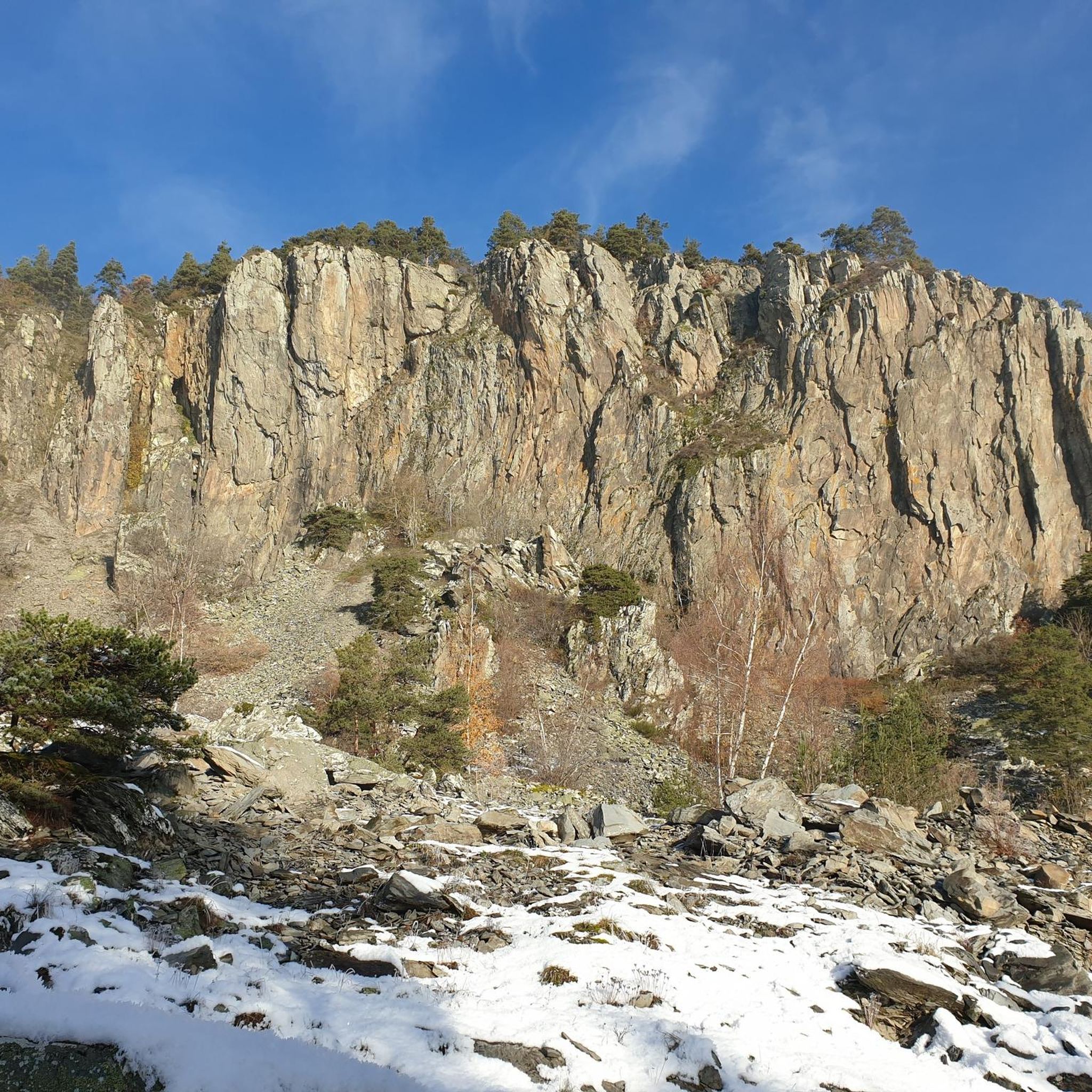
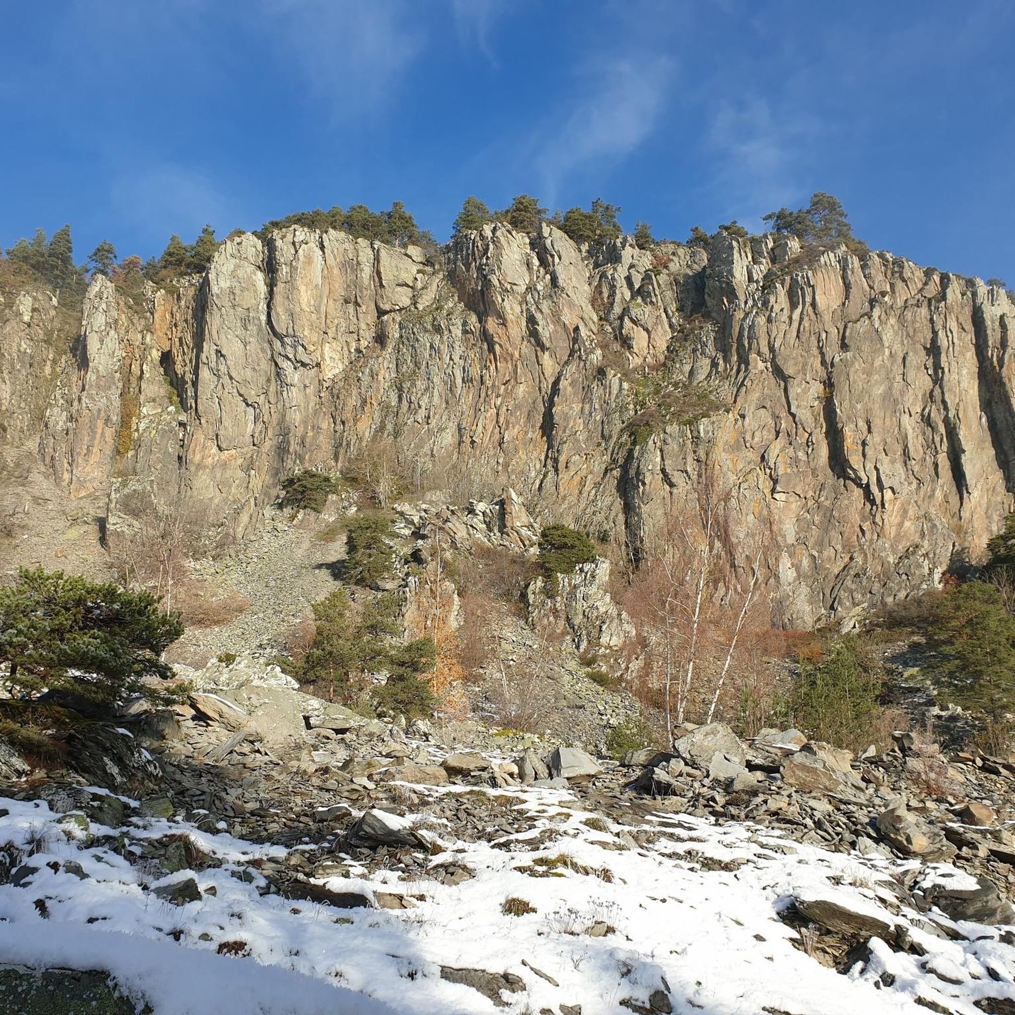
Beautiful viewpoint overlooking the village. Be careful on the climb to the cross; the rock is polished, and there's a risk of falling!
0
0


very good route for the tour of the lake or even for training for a first triathlon 🚴♂️
0
0

The pretty town of St-Julien-Chapteuil at the foot of the Meygal peaks.
0
0

Beautiful reservoir, the level is low currently because repairs are underway until 2026, but otherwise, it's a little Canada!
0
0

superb greenway the riverway
0
0

The town of Saint-Julien-Chapteuil is nestled in the heart of the Meygal massif. The town retains traces of its medieval past and you can appreciate its beautiful church and the ruins of the Château de Chapteuil. It is a town which has its own identity, offering all services and which has many shops.
0
0
The Lavalette dam is 507 meters long and 60 meters high. This hydraulic dam was built in 1949 upstream of the Lignon river and retains the waters of Lake Lavalette, known for its water sports center.
0
0
Frequently Asked Questions
What kind of terrain can I expect when road cycling around Saint-Hostien?
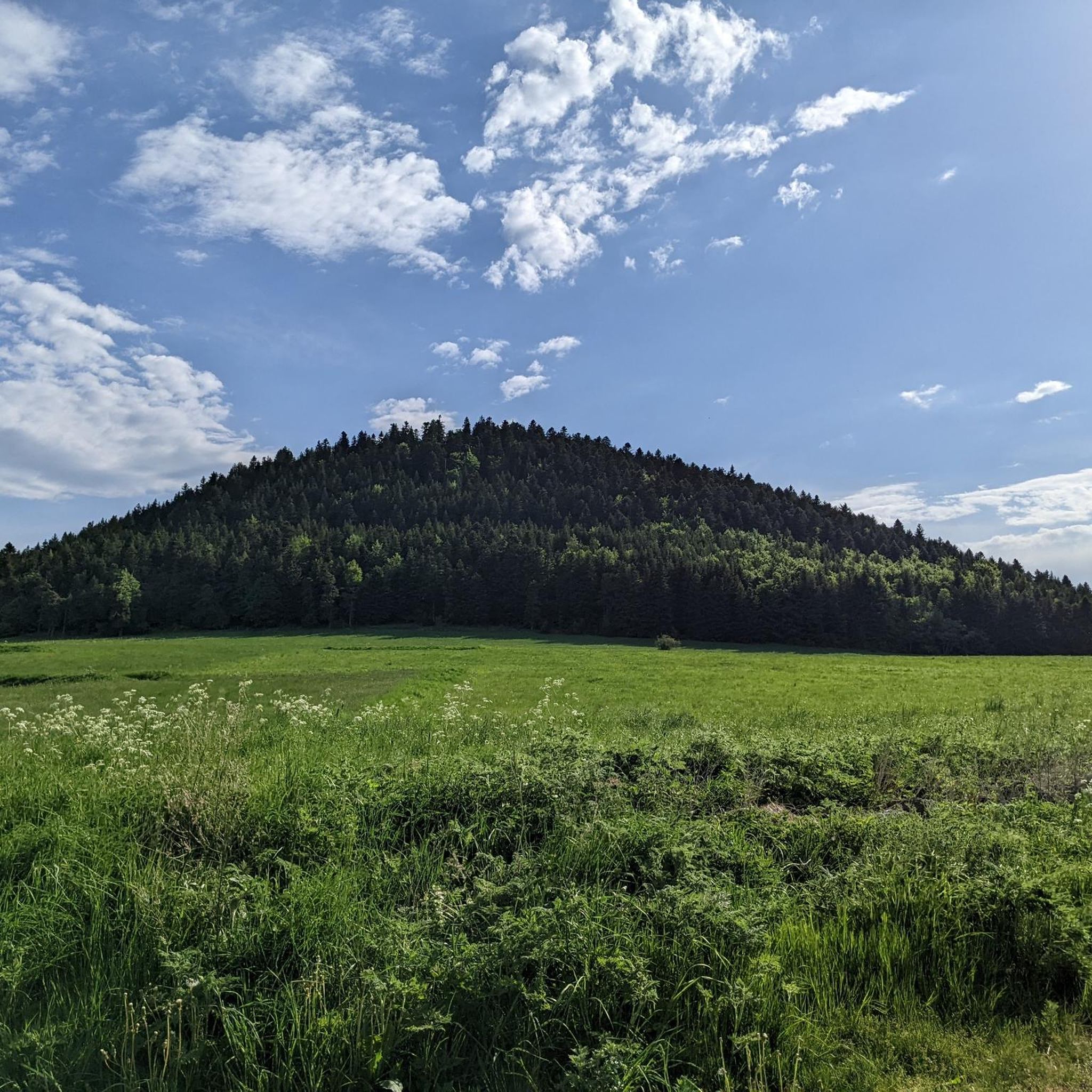
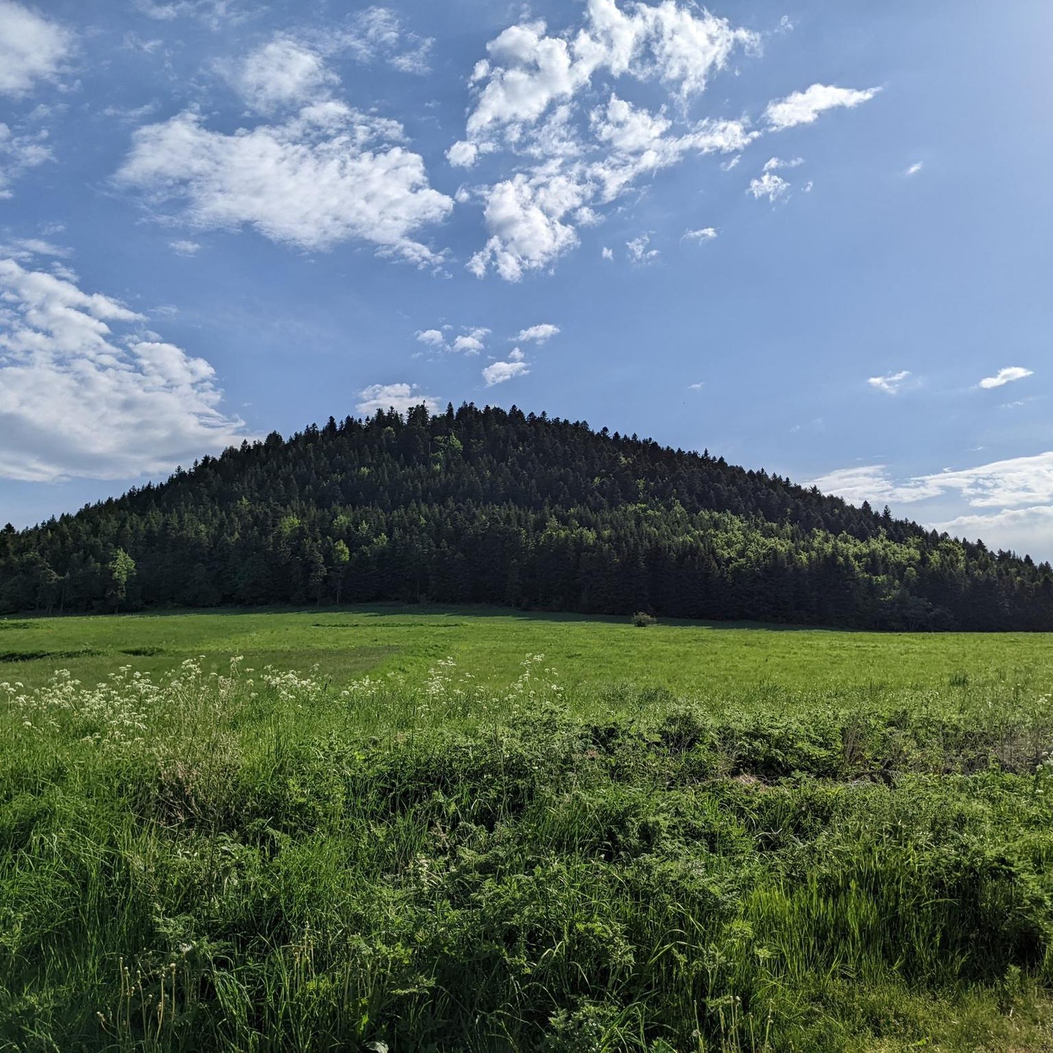
Road cycling around Saint-Hostien is characterized by its distinctive volcanic landscapes and varied elevation. You'll encounter rolling hills, climbs, and descents, with altitudes ranging from 747 to 1204 meters. The region's "volcano country" topography, featuring extinct volcanoes like Mont Pidgier and the Queyrières volcano, provides a dynamic and engaging environment for cyclists on tranquil rural roads.
How many road cycling routes are available in the Saint-Hostien area?
There are over 140 road cycling routes available around Saint-Hostien, offering a wide range of options for different skill levels and preferences. These routes are highly rated by the komoot community, with an average score of 4.4 stars.
Are there routes suitable for beginners or those looking for an easier ride?
While Saint-Hostien's volcanic terrain often presents varied elevation, there are a few easier road cycling routes available. The majority of routes are classified as moderate or difficult, so beginners should look for routes specifically marked as 'easy' or those with lower elevation gains. You can filter routes on komoot to find the most suitable options.
What are some notable natural attractions I might see along the road cycling routes?
The region is rich in natural beauty. You can explore volcanic formations like the Queyrières volcano and its impressive Basalt organ of Queyrières. Other highlights include the Suc de Chapteuil and scenic viewpoints like Montjoie Viewpoint, offering panoramic vistas of the surrounding volcanic domes.
Are there any circular road cycling routes around Saint-Hostien?
Yes, many of the road cycling routes in the Saint-Hostien area are designed as loops, allowing you to start and finish in the same location. An example is the Lake Saint-Front – Monedeyres loop from Queyrières, which navigates through the volcanic landscape.
What is the best time of year for road cycling in Saint-Hostien?
The Haute-Loire region, where Saint-Hostien is located, is generally best enjoyed for road cycling during the warmer months, typically from spring through early autumn. This period offers more favorable weather conditions for tackling the varied terrain and enjoying the tranquil rural roads and scenic vistas.
Can I find challenging road cycling routes with significant elevation gain?
Absolutely. Saint-Hostien's volcanic topography ensures plenty of challenging routes. For example, the View of the Croix de Peccata – Saint-Front Lake loop from Saint-Julien-Chapteuil is a difficult route covering nearly 65 km with over 1000 meters of elevation gain, perfect for experienced cyclists seeking a rigorous workout.
What cultural or historical sites can I discover while cycling in the region?
Beyond natural beauty, the Haute-Loire region is rich in history. As you cycle, you might pass through charming medieval villages, discover Romanesque churches, or spot châteaux and fortified villages. For instance, the town of Saint-Julien-Chapteuil is a notable settlement in the vicinity.
What do other cyclists say about road cycling in Saint-Hostien?
The road cycling routes in Saint-Hostien are highly rated by the komoot community, with an average score of 4.4 stars from over 40 reviews. Cyclists often praise the unique volcanic scenery, the tranquility of the rural roads, and the diverse challenges offered by the varied elevation.
Are there any specific routes that showcase the volcanic features prominently?
Yes, routes like the Queyrières volcano – Basalt organ of Queyrières loop from Queyrières are specifically designed to lead you through the region's dramatic volcanic formations, offering an immersive experience of this unique landscape.
Are the roads generally quiet for cycling in Saint-Hostien?
Yes, the Haute-Loire department is known for its "perfect roads with little traffic," offering a serene cycling experience. You can expect tranquil rural roads that wind through picturesque vistas, making for a peaceful ride.
Most popular routes around Saint-Hostien
Most popular attractions around Saint-Hostien

Get inspired with the komoot mobile app


Explore more
Browse the best Road cycling routes in other regions.
