The best walks and hikes around Monistrol-D'Allier
4.6
(374)
2,658
hikers
119
hikes
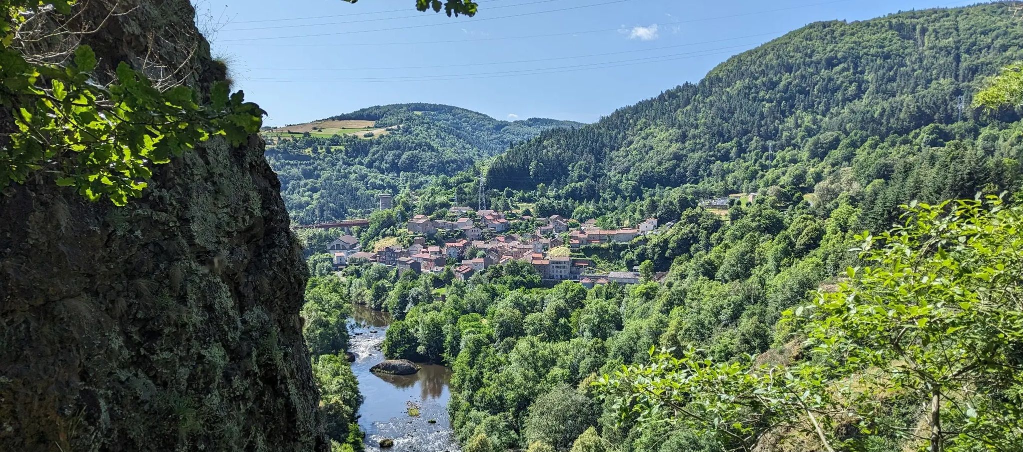
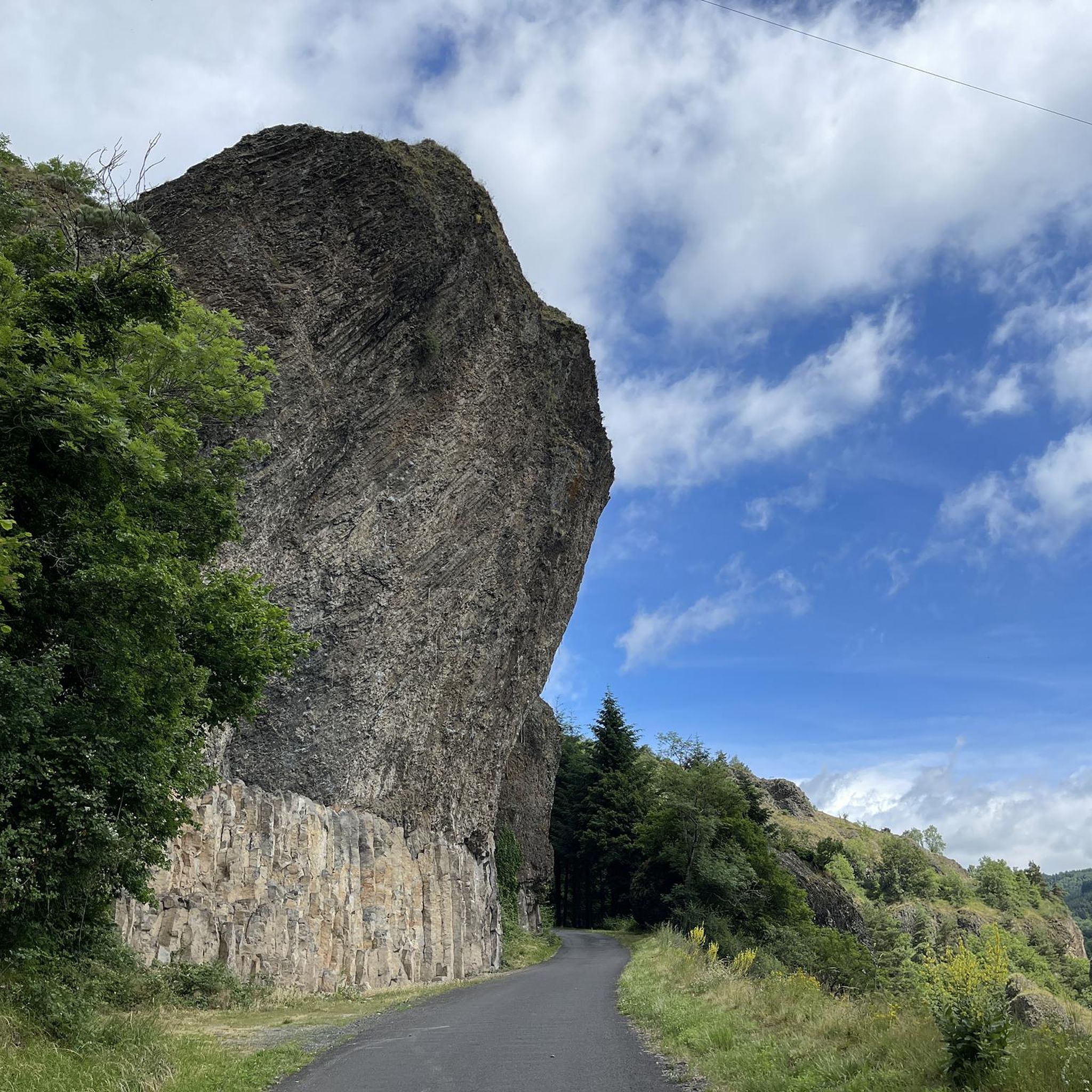
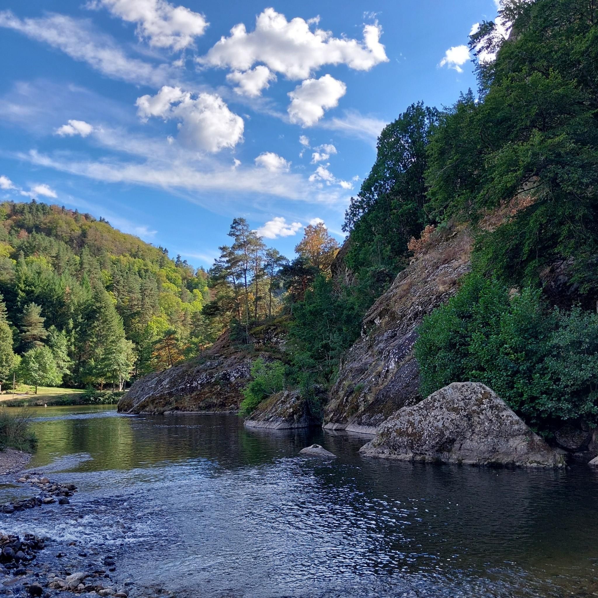
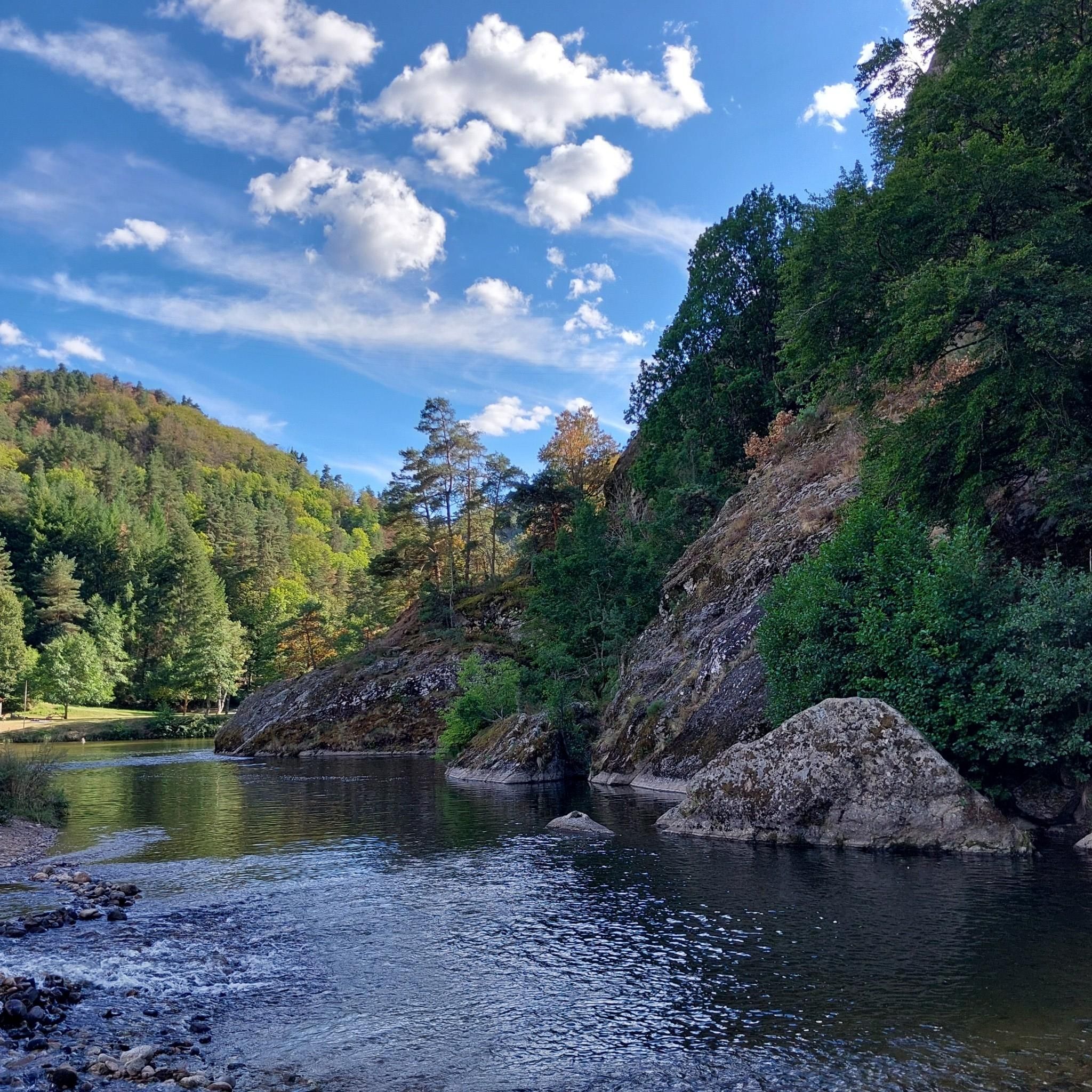
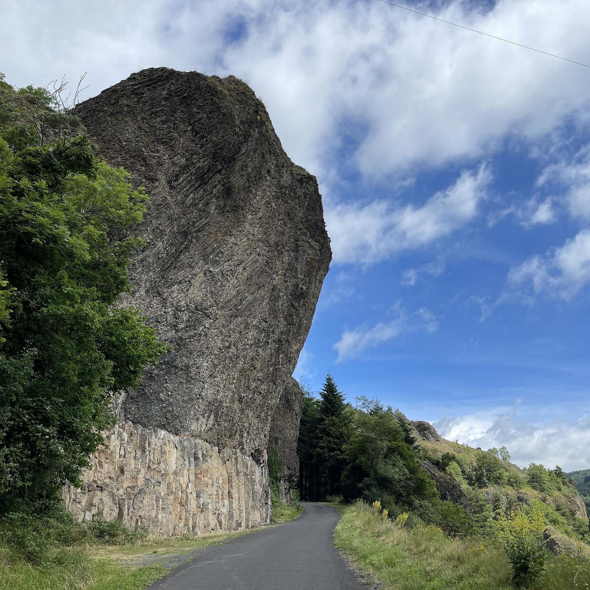
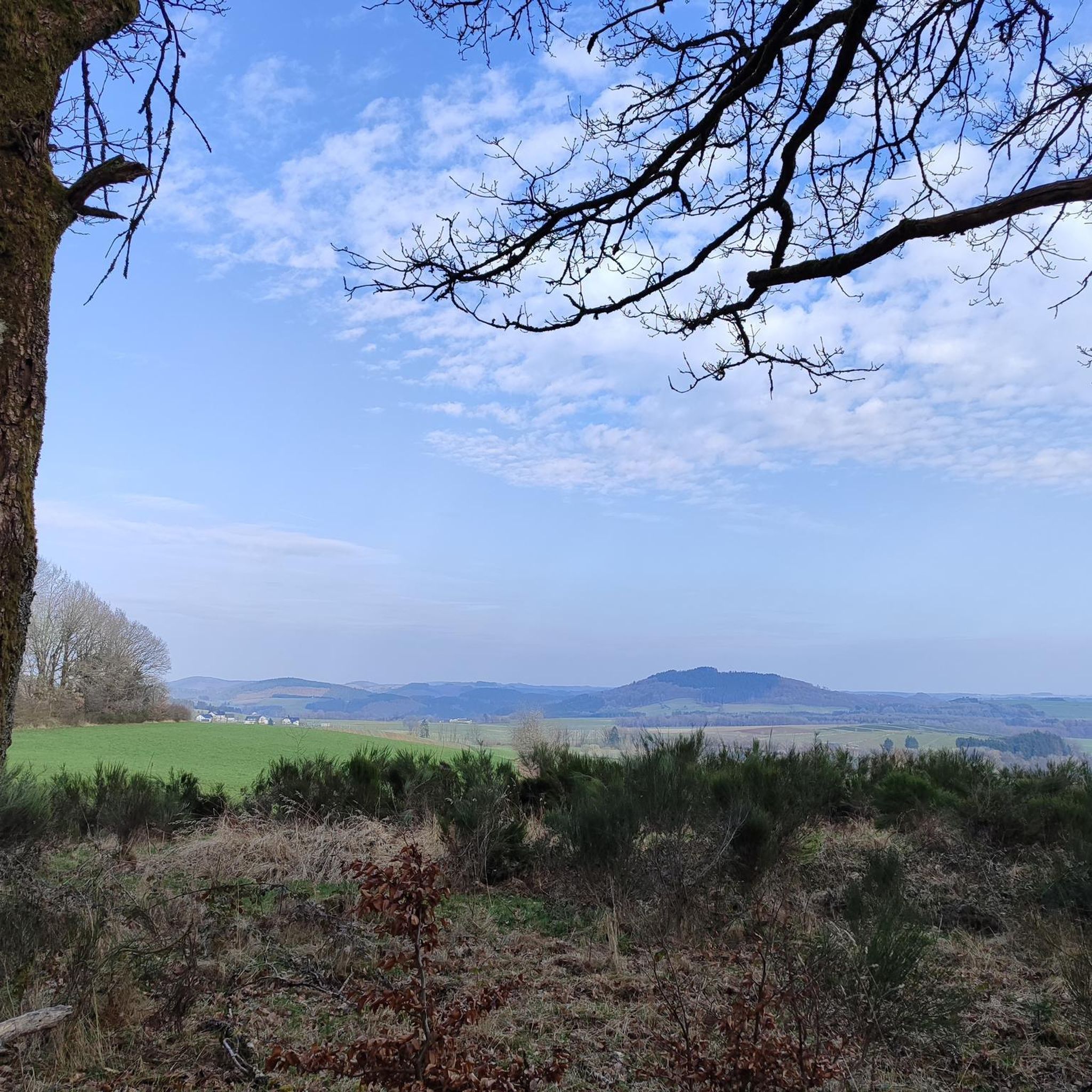
Hiking around Monistrol-D'Allier offers diverse terrain in the Haute-Loire region, characterized by the deep gorges of the Allier River and impressive basalt rock formations. The landscape includes dense forests, agricultural plateaus, and pastureland, with significant elevation changes. Hikers can explore a variety of environments, from river valleys to higher ground, often encountering streams.
Best hiking trails around Monistrol-D'Allier
- The most popular hiking route is Les aiguilles et la Chapelle St-Etienne – loop starting from Monistrol-d'Allier, a 5.6 miles (9.0 km) trail that takes 2 hours 43 minutes to complete. This moderate route features an ascent of 911 feet (278 meters).
- Another top favourite among local hikers is Monistrol-d'Allier – Saint Madeleine Chapel loop from La Molle, a difficult 15.3 miles (24.6 km) path. This route traverses varied terrain with an elevation gain of 3037 feet (926 meters), offering expansive views of the Allier Gorges.
- Local hikers also love the Monistrol-d'Allier – Saint Madeleine Chapel loop from Monistrol-d'Allier, a 3.8 miles (6.1 km) trail leading through the Allier Gorges, often completed in about 1 hour 59 minutes.
- Hiking around Monistrol-D'Allier is defined by river gorges, basalt rock formations, and varied forest and plateau landscapes. The network offers options for different ability levels, from easy strolls to challenging long-distance paths.
- The routes in Monistrol-D'Allier are highly rated by the komoot community with an average score of 4.4 stars from over 400 reviews. More than 3000 hikers have used komoot to explore Monistrol-D'Allier's varied terrain.
Last updated: June 25, 2026
5.0
(7)
45
hikers
Moderate hike. Good fitness required. Easily-accessible paths. Suitable for all skill levels.
4.6
(153)
1,109
hikers
29.5km
08:44
820m
820m
Hard hike. Very good fitness required. Easily-accessible paths. Suitable for all skill levels.

Sign up for free
5.0
(6)
43
hikers
6.12km
02:00
260m
260m
Easy hike. Great for any fitness level. Easily-accessible paths. Suitable for all skill levels.
4.0
(1)
18
hikers
26.2km
07:46
770m
770m
Hard hike. Very good fitness required. Easily-accessible paths. Suitable for all skill levels.
4.5
(2)
23
hikers
7.99km
02:38
370m
370m
Moderate hike. Good fitness required. Easily-accessible paths. Suitable for all skill levels.
Get access to more routes and recommendations from other explorers.
Sign up for free
Already have an account?
Our route recommendations are based on thousands of hikes, rides, and runs completed by other people on komoot.
Start today with a free account
Your next adventure awaits.
Login or Signup
Other adventures around Monistrol-D'Allier

Tips from the Community

On our Camino / GR65 path: https://youtu.be/xZkbnoCtUzE
0
0
On our Camino / GR65 path: https://youtu.be/xZkbnoCtUzE
0
0
On our Camino / GR65 path: https://youtu.be/xZkbnoCtUzE
0
0
On our Camino / GR65 path: https://youtu.be/xZkbnoCtUzE
0
0
On our Camino / GR65 path: https://youtu.be/xZkbnoCtUzE
0
0
On our Camino / GR65 path: https://youtu.be/xZkbnoCtUzE
0
0
On our Camino / GR65 path: https://youtu.be/xZkbnoCtUzE
0
0

For the view from the summit
0
0
Frequently Asked Questions
How many hiking trails are available around Monistrol-d'Allier?
There are over a dozen hiking routes around Monistrol-d'Allier, catering to various skill levels. The komoot community has mapped 13 tours in the area, ranging from easy strolls to challenging long-distance paths.
What kind of terrain can I expect when hiking in Monistrol-d'Allier?
The terrain around Monistrol-d'Allier is incredibly diverse and dramatic. You'll encounter deep gorges carved by the Allier River, impressive basalt rock formations, dense forests of pines and oaks, agricultural plateaus, and open pastureland. Expect significant elevation changes, with strenuous climbs through zigzags between trees and black granite rock, offering rewarding views.
Are there any easy hiking trails suitable for beginners in Monistrol-d'Allier?
Yes, Monistrol-d'Allier offers several easier routes. For instance, the Monistrol-d'Allier – Saint Madeleine Chapel loop from Monistrol-d'Allier is an easy 3.8-mile (6.1 km) trail that takes about 2 hours to complete, leading through the Allier Gorges.
What are some notable landmarks or natural features to see while hiking?
Hikers can discover several unique landmarks. The Saint Madeleine Chapel, a troglodyte chapel carved into a rock face, is a must-see. You can also find impressive basalt rock formations, including 'basalt organs,' and enjoy views of the wild Allier River. Other points of interest include the Eiffel Bridge, Monistrol-d'Allier and the historic Saint-Pierre church in the village.
Are there any circular hiking routes in the area?
Yes, many routes around Monistrol-d'Allier are designed as loops. A popular moderate option is Les aiguilles et la Chapelle St-Etienne – loop starting from Monistrol-d'Allier, a 5.6-mile (9.0 km) trail. For a more challenging experience, consider the Monistrol-d'Allier – Saint Madeleine Chapel loop from La Molle, which is 15.3 miles (24.6 km) long.
What do other hikers enjoy most about the trails in Monistrol-d'Allier?
The hiking routes in Monistrol-d'Allier are highly rated by the komoot community, with an average score of 4.4 stars from over 400 reviews. Hikers often praise the stunning vistas of the Allier Gorges, the unique basalt rock formations, and the diverse landscapes that include forests, plateaus, and river valleys.
Can I hike with my dog in Monistrol-d'Allier?
While many trails in the region are generally dog-friendly, it's always recommended to keep your dog on a leash, especially in areas with livestock or protected wildlife. The varied terrain, including rocky paths and elevation changes, means some routes might be more challenging for pets. Always check local signage for specific restrictions.
Are there any long-distance hiking trails that pass through Monistrol-d'Allier?
Monistrol-d'Allier is a significant point on several renowned long-distance trails. It lies directly on the historic Way of St. James (GR65), attracting many pilgrims. The village also serves as a stage on the GR470 Allier River Springs and Gorges trail, which follows the course of the Allier River for 180 km.
What are the best viewpoints in Monistrol-d'Allier?
The deep Gorges de l'Allier offer numerous breathtaking viewpoints, especially from higher elevations. Routes like the Monistrol-d'Allier – Saint Madeleine Chapel loop from La Molle provide expansive views of the gorges. The area's basalt rock formations also create dramatic backdrops for scenic overlooks.
Are there any family-friendly hiking options?
While many trails involve significant elevation, there are options suitable for families. The easier routes, such as the 3.8-mile Monistrol-d'Allier – Saint Madeleine Chapel loop from Monistrol-d'Allier, can be enjoyed by families looking for a less strenuous walk. Always consider the fitness level of all family members due to the region's varied terrain.
What is the general difficulty level of hiking in Monistrol-d'Allier?
Hiking in Monistrol-d'Allier ranges from easy to difficult. The region's defining feature, the Gorges de l'Allier, means many routes involve significant elevation gains and descents, often on uneven, rocky paths. Out of 13 tours, 3 are easy, 4 are moderate, and 6 are considered difficult, offering challenges for experienced hikers.
Most popular routes around Monistrol-D'Allier
Most popular attractions around Monistrol-D'Allier

Get inspired with the komoot mobile app


Explore more
Browse the best Hikes in other regions.
