The best running trails around Saint-Jean-D'Aubrigoux
4.0
(3)
254
runners
51
runs
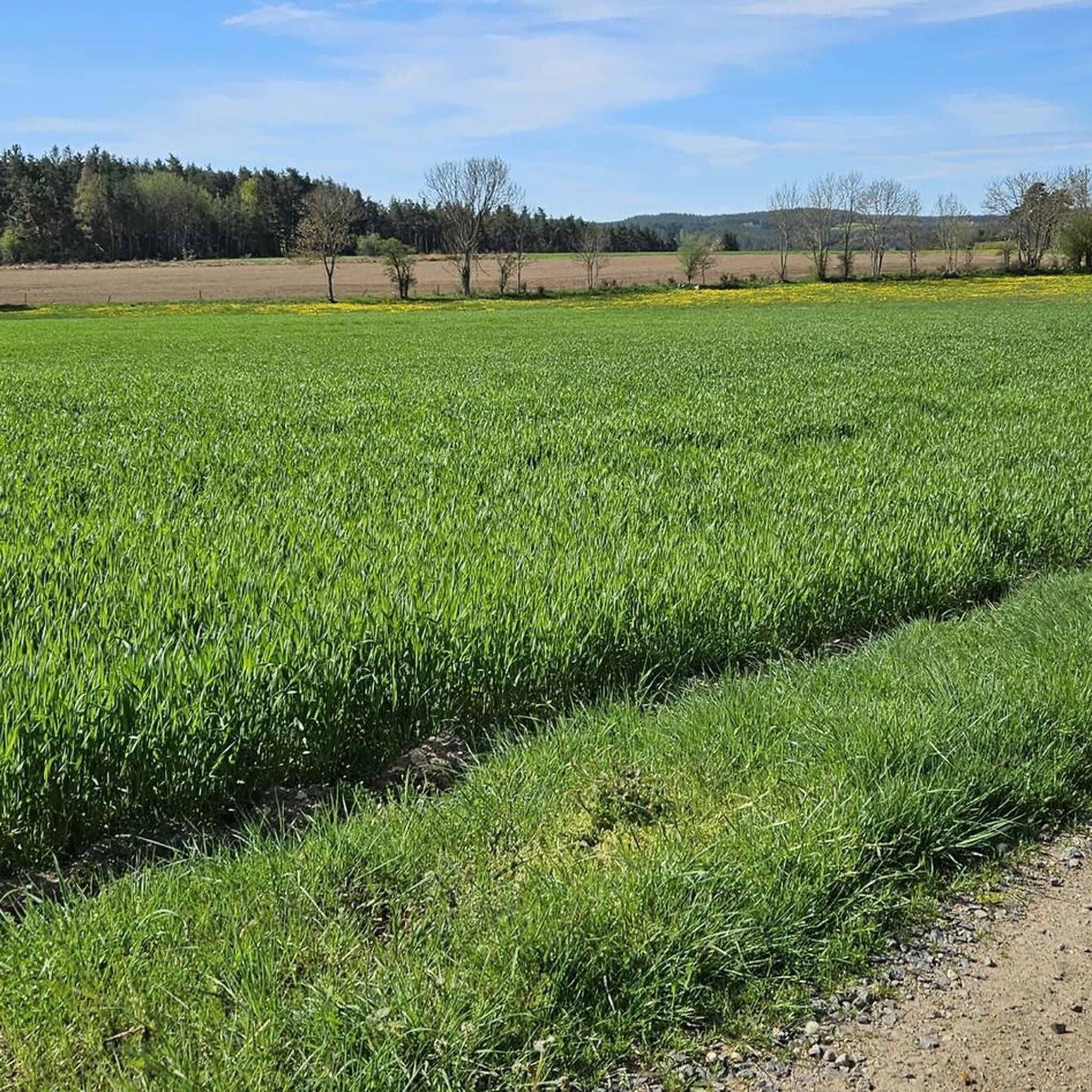
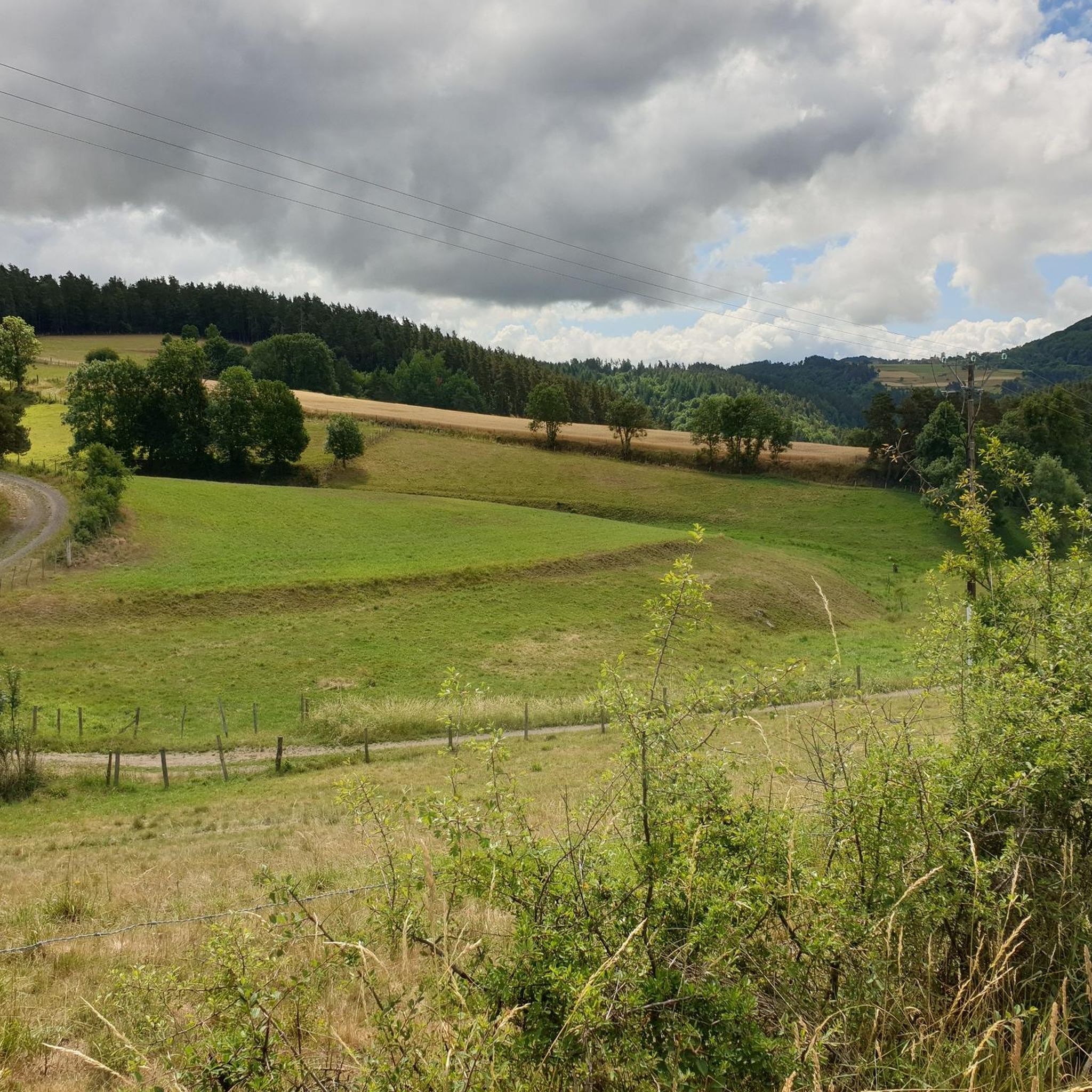
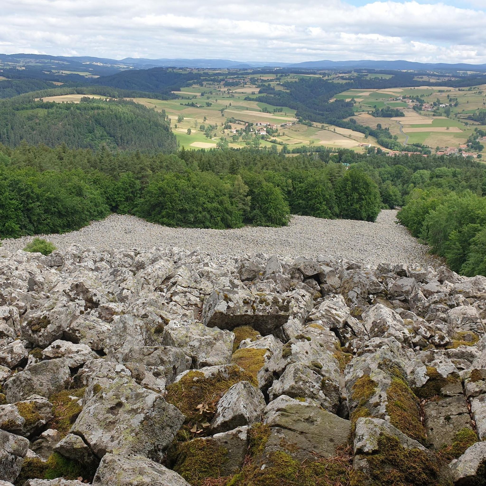
Jogging around Saint-Jean-D'Aubrigoux offers diverse terrain within the Haute-Loire department of France. Situated at an altitude of 948 meters, the area features both flat sections and significant elevation changes, with its highest point at Suc de Bèze reaching 1190 meters. The region is characterized by dense forests, high plateaus, and volcanic landscapes, forming part of the Regional Natural Park of Livradois-Forez. An extensive network of trails provides options for various running intensities.
Best jogging routes around Saint-Jean-D'Aubrigoux
- The most popular…
Last updated: July 1, 2026
11
runners
11.8km
01:25
250m
250m
Moderate run. Good fitness required. Mostly paved surfaces. Suitable for all skill levels.
4
runners
10.1km
01:08
220m
220m
Moderate run. Good fitness required. Mostly paved surfaces. Suitable for all skill levels.

Sign up for free
6
runners
26.7km
03:16
720m
720m
Hard run. Very good fitness required. Mostly accessible paths. Some sure footedness required.
4
runners
10.8km
01:08
110m
110m
Moderate run. Good fitness required. Mostly paved surfaces. Suitable for all skill levels.
4
runners
9.76km
01:09
200m
200m
Moderate run. Good fitness required. Mostly paved surfaces. Suitable for all skill levels.
Get access to more routes and recommendations from other explorers.
Sign up for free
Already have an account?
Our route recommendations are based on thousands of hikes, rides, and runs completed by other people on komoot.
Start today with a free account
Your next adventure awaits.
Login or Signup

Tips from the Community

The Beaune-sur-Arzon lake offers all the facilities necessary to spend a beautiful day at the water's edge. The place is often very busy in the summer.
0
0
This pretty little town of barely 100 inhabitants is located on the watershed line of the Arzon basin. The town has a stopover lodge and an inn to accommodate travellers. Don't miss a stop to see its church and chapel.
0
0

Nice crossing of the railway line on a paved bridge, with beautiful forged metal guardrails.
0
0
Very nice quiet place, a house with a water basin. Below, a very cute stone bridge!
0
0
Frequently Asked Questions
How many running routes are available in Saint-Jean-D'Aubrigoux?
There are over 40 dedicated running routes around Saint-Jean-D'Aubrigoux, offering a wide variety of distances and difficulty levels. These trails are highly rated by the komoot community, with an average score of 4.0 stars.
What kind of terrain can I expect on the jogging trails around Saint-Jean-D'Aubrigoux?
The region offers a diverse landscape for jogging, characterized by varied terrain including high plateaus, dense forests, and volcanic features. Situated at an altitude of 948 meters, with peaks like Suc de Bèze reaching 1190 meters, you'll find both relatively flat stretches and significant elevation changes, providing options for different running intensities.
Are there any easy jogging routes suitable for beginners in Saint-Jean-D'Aubrigoux?
While there are no routes specifically classified as 'easy' in our current selection, many of the moderate trails can be enjoyed by beginners looking for a gentle challenge. For example, the Plan d'eau de Prades – Plage loop from Malvières is a moderate 11.8 km route with varied terrain that is popular among local runners.
What is the typical length of running trails in Saint-Jean-D'Aubrigoux?
Running trails in Saint-Jean-D'Aubrigoux vary significantly in length. You can find shorter routes, such as the 6.8 km Suc de Bèze trail mentioned in local guides, perfect for a quick jog. Longer options include the Running loop from Sauvessanges, which is 10.1 km, or the more challenging Col de la Faye loop from Sauvessanges at 14.1 km.
Are there circular running routes in Saint-Jean-D'Aubrigoux?
Yes, many of the running trails in the area are circular, allowing you to start and finish at the same point. Popular loop options include the Plan d'eau de Prades – Plage loop from Malvières and the Beaune-sur-Arzon lake loop from Beaune-sur-Arzon, which offers scenic views around the lake.
Are the jogging trails in Saint-Jean-D'Aubrigoux suitable for families?
The varied terrain means some trails are more suitable for families than others. While there are no 'easy' routes listed, the region's extensive trail network includes paths that are generally considered easy for walking, such as the 6.8 km Suc de Bèze trail. When choosing a route for families, consider the distance and elevation gain to match everyone's fitness level.
What scenic spots or points of interest can I discover while running in Saint-Jean-D'Aubrigoux?
Beyond the natural beauty of the Livradois-Forez Regional Natural Park, you can encounter historical elements. The village itself features a Romanesque church and three fountains. Nearby attractions include the impressive La Chaise-Dieu Abbey Church and the charming village of Medeyrolles. The wider region also boasts prehistoric and Gallo-Roman vestiges, adding a cultural dimension to your run.
What do other runners enjoy the most about jogging in Saint-Jean-D'Aubrigoux?
The area is highly rated by the komoot community, with an average score of 4.0 stars. Runners often praise the diverse and well-maintained trail systems, the breathtaking natural landscapes of the Livradois-Forez Regional Natural Park, and the pure air found at higher altitudes. The mix of forests, high plateaus, and volcanic terrain provides engaging and picturesque routes.
Are there any challenging running routes for experienced runners?
Absolutely. Saint-Jean-D'Aubrigoux offers several challenging routes with significant elevation gains. For instance, the Medeyrolles loop from Sauvessanges is a difficult 30.7 km trail with over 800 meters of elevation gain, providing a demanding workout for experienced runners.
Is Saint-Jean-D'Aubrigoux a good place for trail running?
Yes, Saint-Jean-D'Aubrigoux is an excellent destination for trail running. Its location within the Regional Natural Park of Livradois-Forez, combined with its varied topography of forests, high plateaus, and volcanic landscapes, creates an ideal environment for off-road running. The extensive network of marked trails ensures a rewarding experience for trail enthusiasts.
What is the best time of year for jogging in Saint-Jean-D'Aubrigoux?
The region is generally pleasant for jogging from spring through autumn, when the weather is milder and the natural landscapes are in full bloom. The 'pure air' and varied terrain make it enjoyable. While winter jogging is possible, be prepared for colder temperatures and potential snow, especially at higher elevations.
Most popular routes around Saint-Jean-D'Aubrigoux
Most popular attractions around Saint-Jean-D'Aubrigoux

Get inspired with the komoot mobile app


Explore more
Browse the best Running Trails & Routes in other regions.
