The best mountain hikes around Mörsdorf
4.3
(4)
12
hikers
3
hikes
Mountaineering routes around Mörsdorf are situated within the northern Hunsrück region of Germany, characterized by a high plateau flanked by the Dünnbach and Flaumbach valleys. This geographical setting provides a diverse terrain of forests, valleys, and open fields, offering varied scenic backdrops for outdoor pursuits. The region's challenging treks demand good fitness and sure-footedness, with routes featuring ascents, descents, and natural paths through calming Hunsrück forests and stream valleys.
Best mountaineering routes around Mörsdorf
- The most popular mountaineering route is…
Last updated: June 26, 2026
5.0
(2)
9
hikers
Moderate mountaineering route. Good fitness required. Mostly accessible paths. Sure-footedness required.
3.0
(1)
2
hikers
14.0km
04:37
540m
540m
Moderate mountaineering route. Good fitness required. Mostly accessible paths. Sure-footedness required.

Sign up for free
5.0
(1)
1
hikers
12.6km
03:42
330m
330m
Moderate mountaineering route. Good fitness required. Easily-accessible paths. Suitable for all skill levels.
Our route recommendations are based on thousands of hikes, rides, and runs completed by other people on komoot.
Start today with a free account
Your next adventure awaits.
Login or Signup
Popular around Mörsdorf

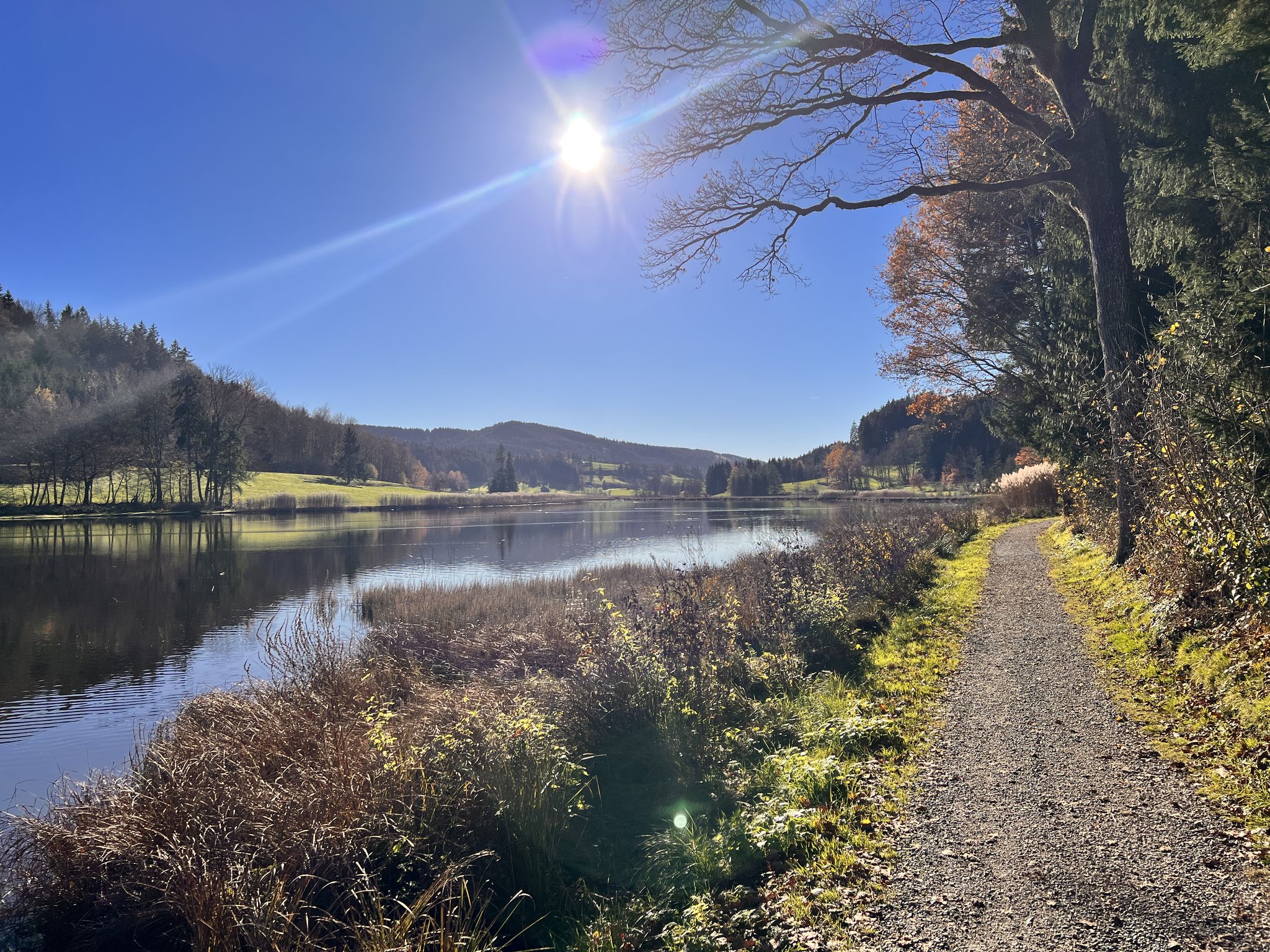
Saar-Hunsrück Climb – Hike in Germany where culture and nature meet
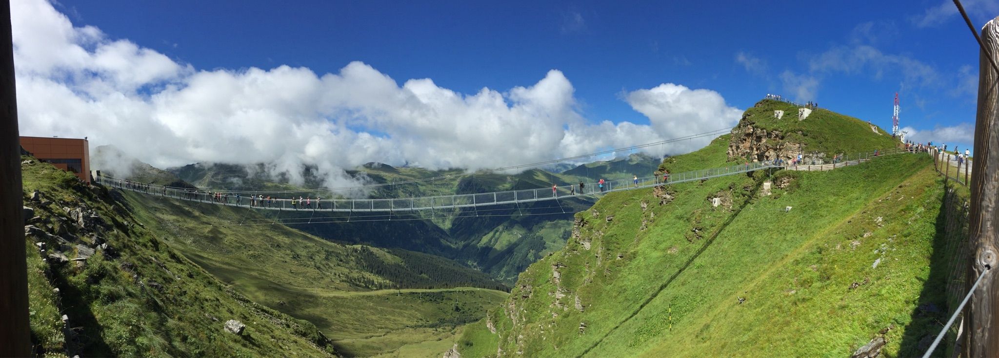
Run Wild – trail running routes throughout Germany
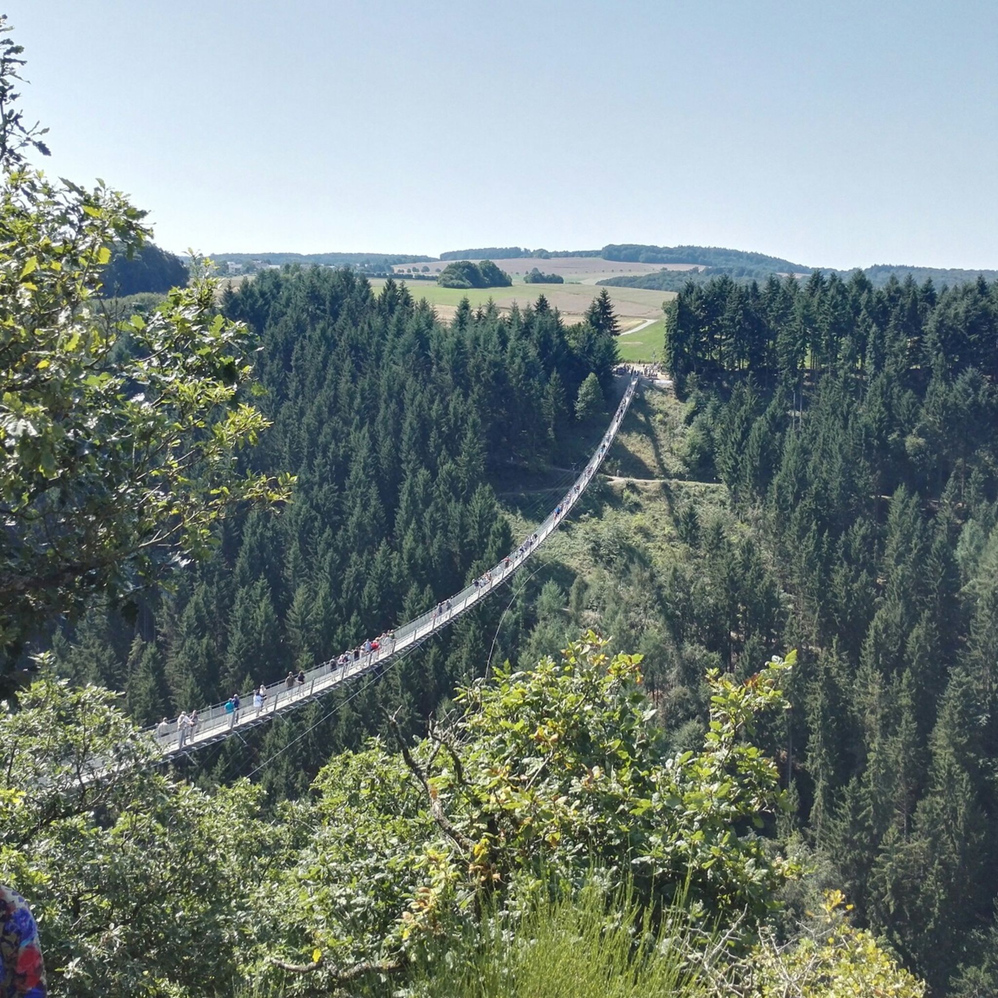
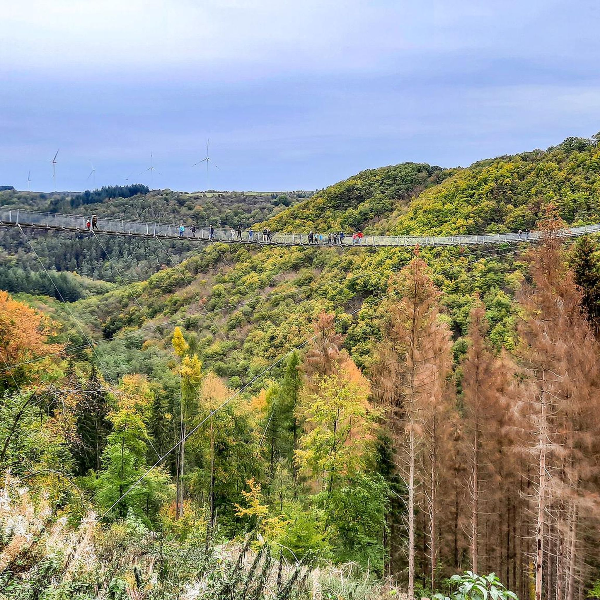
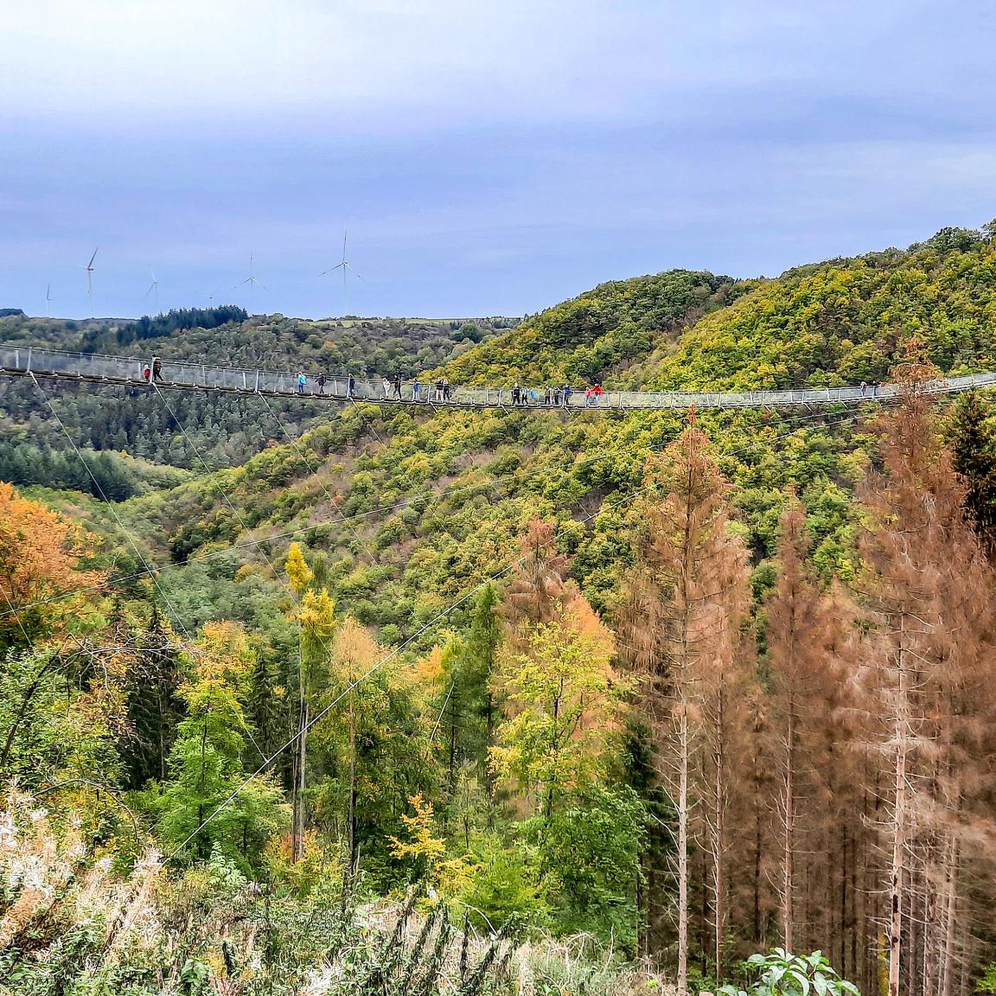
Spectacular suspension bridges
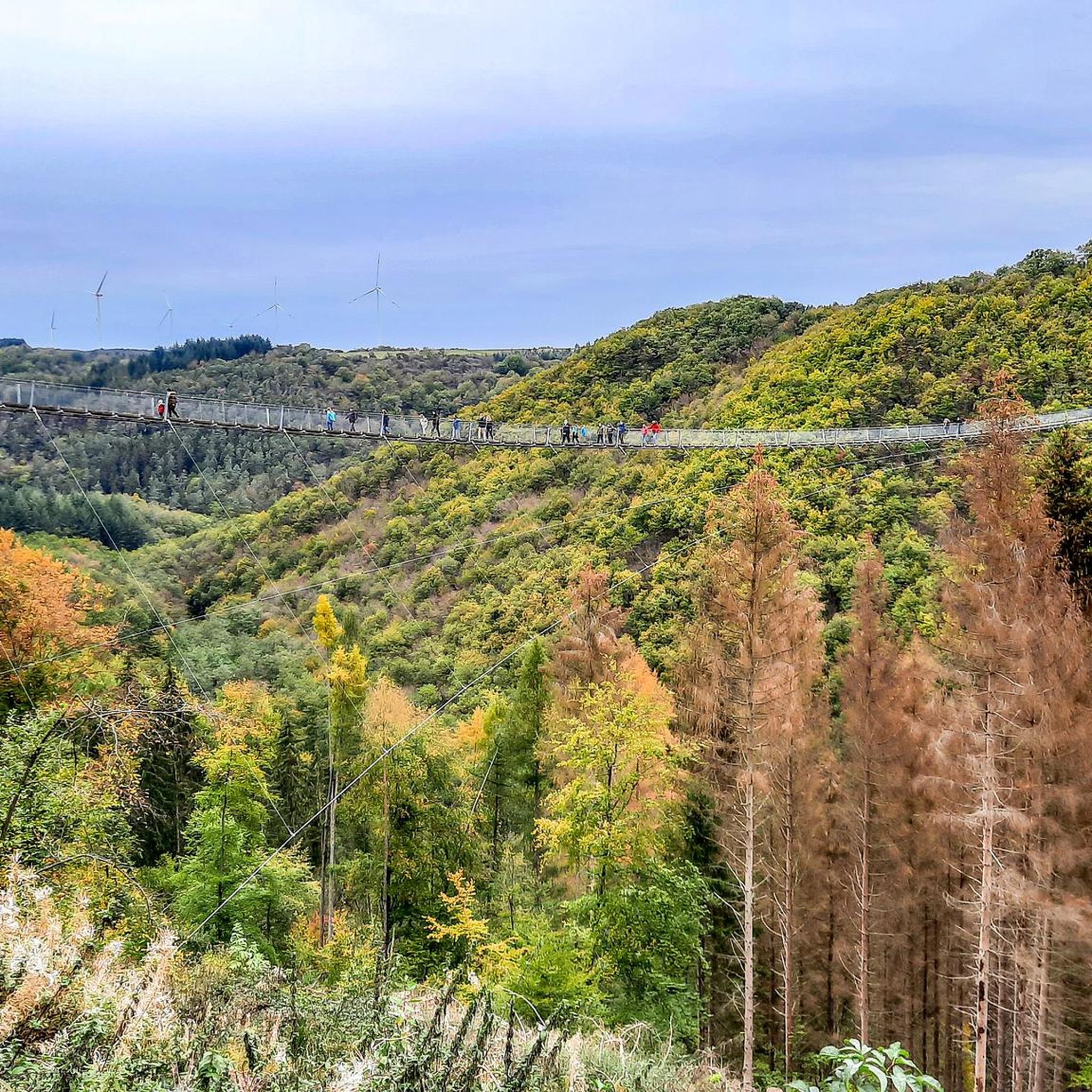
Hiking around Mörsdorf
Cycling around Mörsdorf
Road Cycling Routes around Mörsdorf
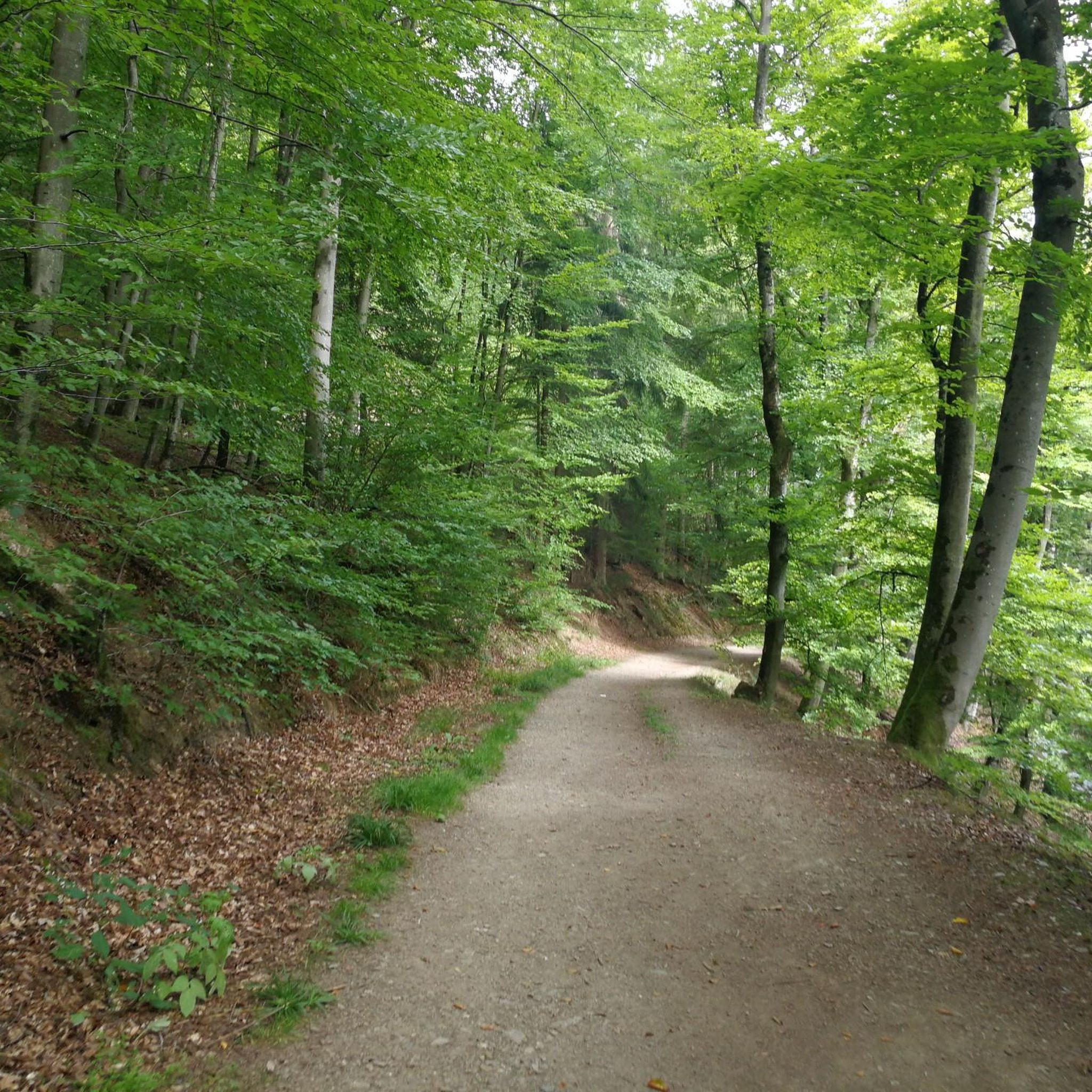
Running Trails around Mörsdorf
MTB Trails around Mörsdorf
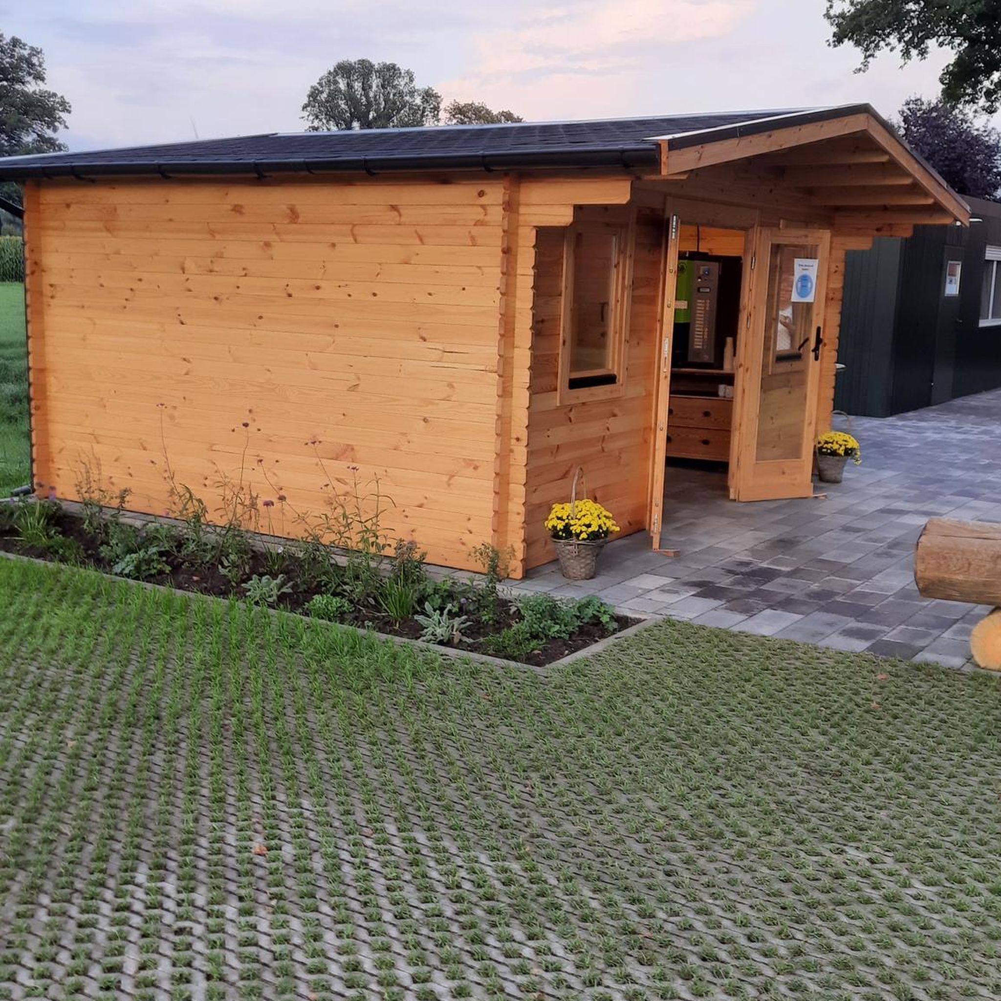
Gravel biking around Mörsdorf


Tips from the Community


Fine, natural paths and yet you are rarely alone here
10
0

The climb here is tough.
2
0


The Moselsteig Trail, or rather, the dream path, continues from the restaurant/café to the left, over a small bridge... Caution ⚠️ the path goes uphill to the left!!! DO NOT go straight ahead!!! Otherwise, the trail ends on a very, very steep slope with lots of loose scree.
5
0

"...We are now embarking on our final stage. We pass the tanning mill from the 17th century, which was used to tan skin into leather. Now we only have to go through the town of Müden, where our accommodation and a glass of wine are waiting for us..." Find out more about our idyllic hike to Eltz Castle at: https://www.netreisetagebuch.de/burg-eltz-wandern/
0
1

You can also have a beautiful view of the castle from the stream below.
3
0

Relatively steep climb Good footwear and safety gear are recommended
4
0
Frequently Asked Questions
What kind of terrain can I expect on mountaineering routes around Mörsdorf?
The Mörsdorf region, situated on a high plateau, features a diverse landscape of deep stream valleys like the Dünnbach and Flaumbach, dense Hunsrück forests, and open fields. Routes often involve ascents and descents on natural paths, requiring good fitness and sure-footedness. You'll traverse forest floors, grassy paths, and stream banks, with some sections demanding sturdy footwear.
How many mountaineering routes are available in the Mörsdorf area?
There are several challenging mountaineering routes around Mörsdorf. Komoot currently features 3 distinct routes, all rated as moderate, offering varied experiences through the Hunsrück landscape.
Are there any family-friendly mountaineering routes near Mörsdorf?
While the routes around Mörsdorf are generally categorized as moderate and require good fitness, some sections might be suitable for active families with older children who are accustomed to longer hikes and varied terrain. For example, the Eltz Castle – Forest Path to Eltz Castle loop from Moselkern is a moderate 12.4 km route that offers scenic views and a rewarding destination, which could be a good option for a family looking for a challenge.
What are some notable landmarks or viewpoints along the mountaineering trails?
The region is rich in natural beauty and historical sites. Many routes offer views of the iconic Eltz Castle. You can also find impressive viewpoints such as View from Mönchelskopf, or explore unique man-made monuments like Goßberg, former bunker. The Geierlay Suspension Bridge, though not directly on these specific routes, is a major attraction nearby offering panoramic views.
Are there any circular mountaineering routes in Mörsdorf?
Yes, all the featured mountaineering routes in this guide are circular. For instance, the Stone Bridge over the Elzbach – View of Eltz Castle loop from Treis-Karden is a moderate 14 km circular path that traverses stream valleys and provides panoramic views of Eltz Castle.
What is the best time of year for mountaineering in Mörsdorf?
The Hunsrück region is beautiful year-round, but spring and autumn generally offer the most pleasant conditions for mountaineering, with milder temperatures and vibrant foliage. Summer can also be good, though some sections might be warm. Winter mountaineering is possible but requires careful attention to weather conditions, as paths can be icy or snowy.
Are there any waterfalls to see on the mountaineering routes?
While the immediate mountaineering routes in this guide don't directly feature waterfalls, the broader Mörsdorf area is home to several beautiful cascades. You can explore highlights like the Baybachklamm Waterfall or the Baybach Waterfall, which are accessible via other trails in the region.
What do other mountaineers say about the routes in Mörsdorf?
The mountaineering routes around Mörsdorf are highly rated by the komoot community, with an average score of 4.3 stars from over 4 reviews. Users often praise the challenging yet rewarding nature of the trails, the scenic Hunsrück forests, and the impressive views of landmarks like Eltz Castle.
Is public transport available to reach the starting points of these routes?
Mörsdorf is primarily accessed by car, but public transport options exist to nearby towns like Moselkern or Treis-Karden, which serve as starting points for some routes. From these towns, local bus services or taxis might be available to reach specific trailheads. It's advisable to check local schedules in advance.
Are there cafes or places to eat near the mountaineering trails?
Yes, Mörsdorf and the surrounding villages offer various options for refreshments. Near the Geierlay Suspension Bridge, you'll find cafes and restaurants. Along routes that pass through or near villages like Moselkern or Treis-Karden, there are also opportunities to stop for a meal or a drink.
What is the typical duration for these mountaineering routes?
The mountaineering routes around Mörsdorf vary in length and duration. For example, the Moselsteig Trail at the Elzbach – Eltz Castle loop from Moselkern, which is 12.6 km long, typically takes around 3 hours and 40 minutes to complete. Other routes are of similar length and duration, requiring a half-day commitment.
Most popular routes around Mörsdorf
Most popular attractions around Mörsdorf

Get inspired with the komoot mobile app


Explore more
Browse the best Mountain Hikes & Routes in other regions.
