The best walks and hikes around Bernières-Sur-Seine
4.6
(366)
1,884
hikers
96
hikes
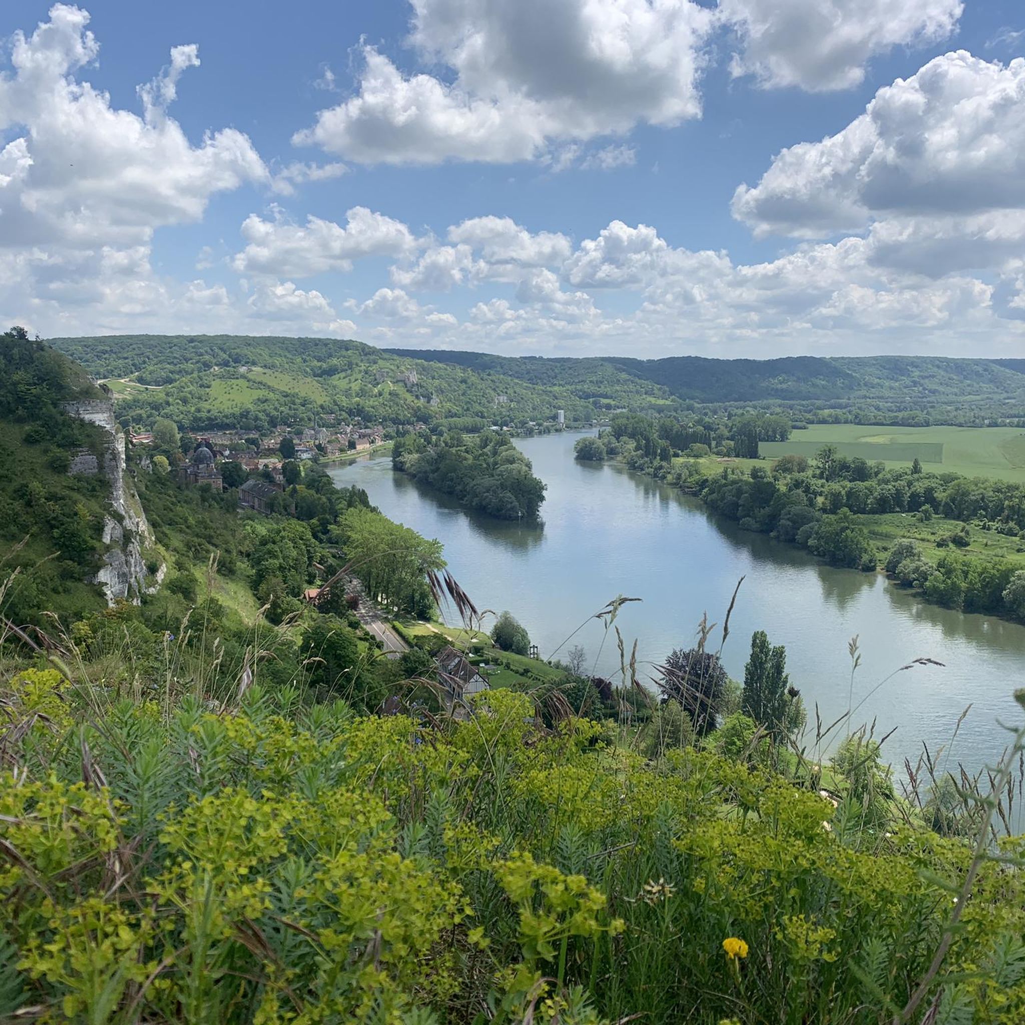
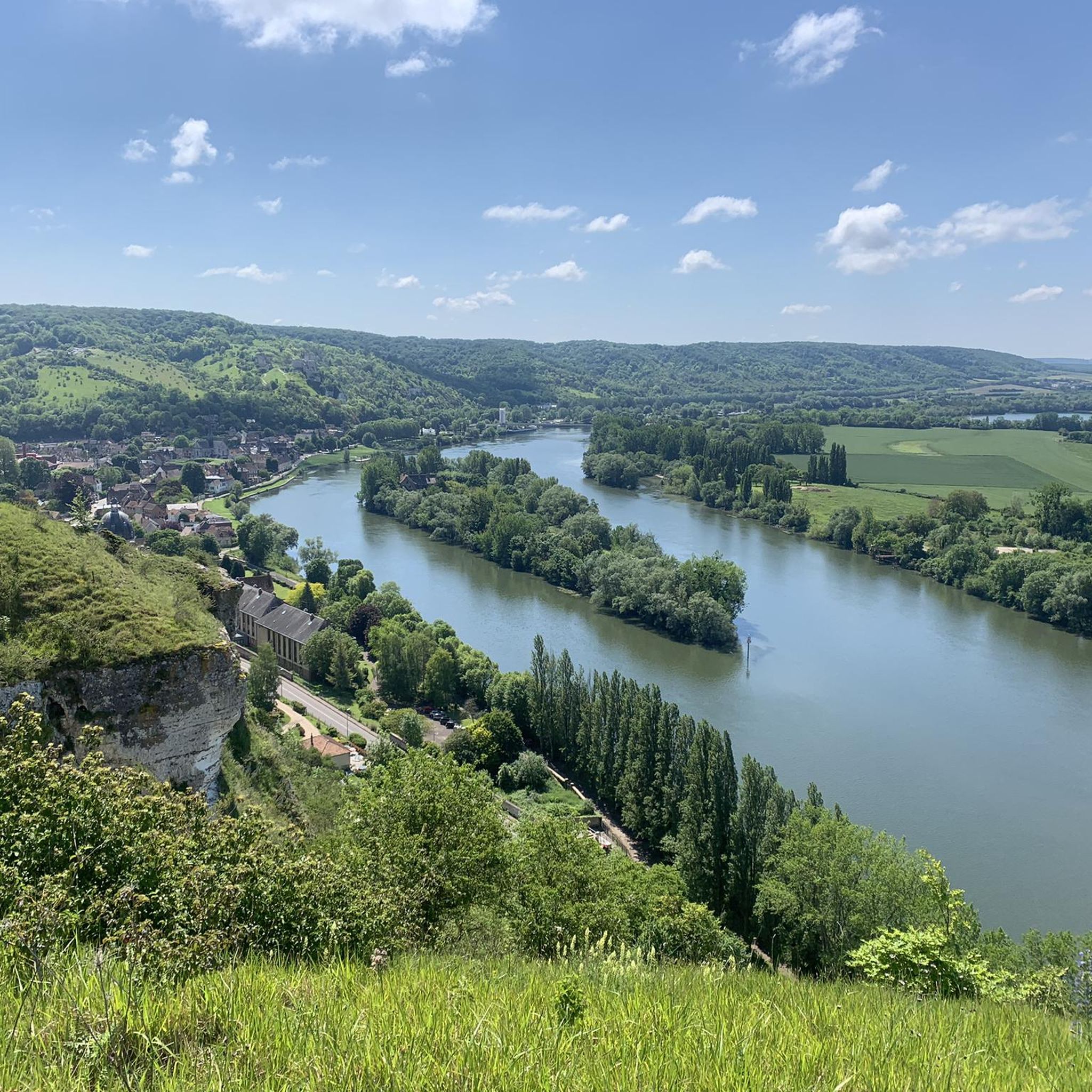
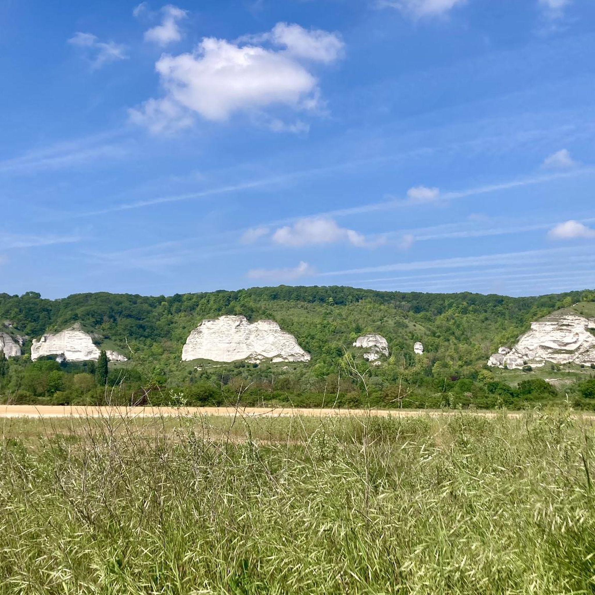
Hiking around Bernières-Sur-Seine offers a diverse landscape shaped by the River Seine and its prominent hillsides. The region features chalky hills reaching over 140 meters, providing panoramic views of the Seine Valley. Beyond the river, the Norman countryside presents rolling hills and varied natural environments. This area provides a blend of riverside paths, elevated viewpoints, and accessible rural trails.
Best hiking trails around Bernières-Sur-Seine
- The most popular hiking route is Château Gaillard Loop, a 3.4 miles (5.5 km) trail…
Last updated: July 5, 2026
5.0
(2)
11
hikers
5.55km
01:47
170m
180m
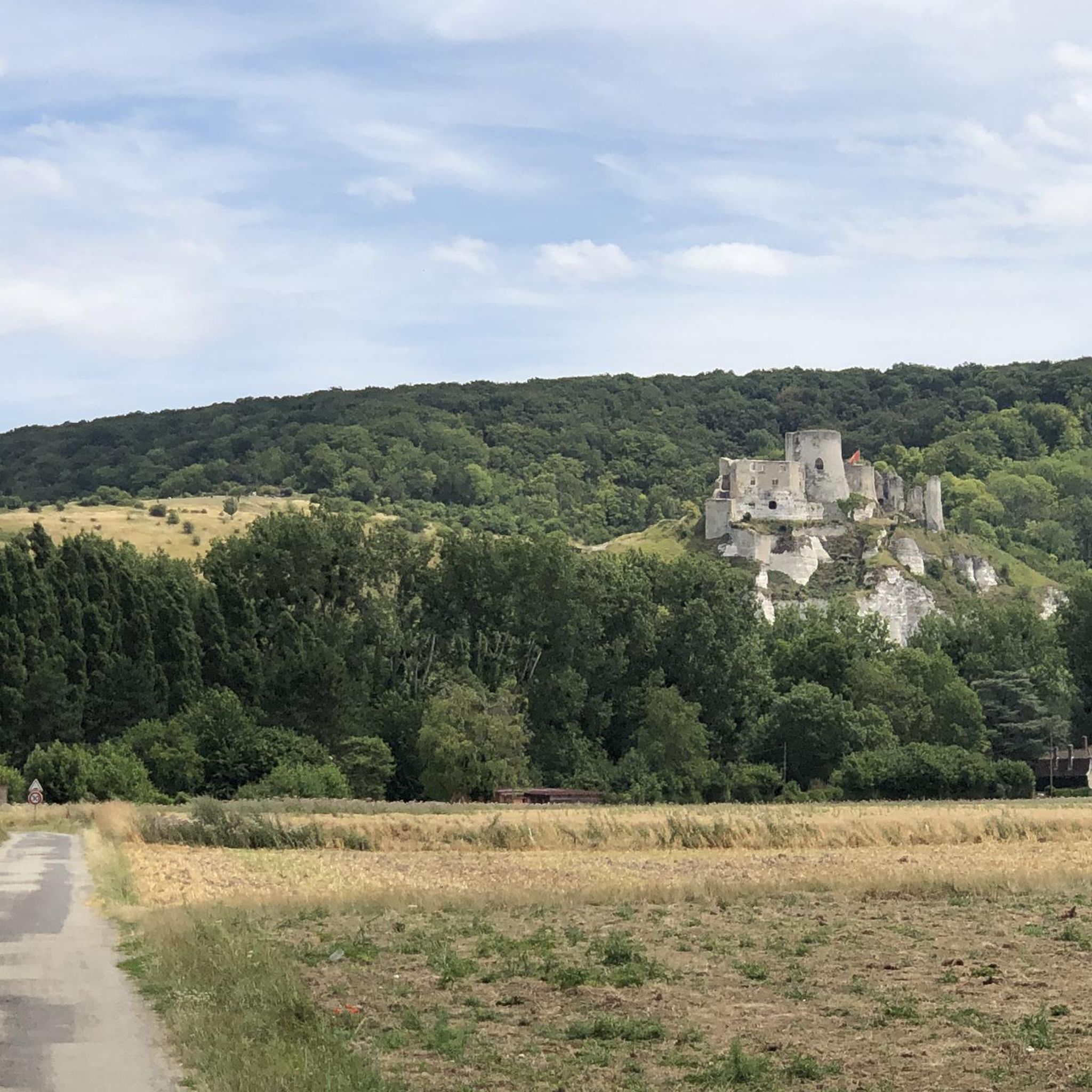
Hike the moderate Château-Gaillard loop from Val Saint-Martin, featuring castle ruins and panoramic views of the Seine Valley.
4.7
(17)
89
hikers
14.1km
04:32
400m
400m
Moderate hike. Good fitness required. Mostly accessible paths. Sure-footedness required.

Sign up for free
4.5
(20)
119
hikers
6.11km
02:03
160m
160m
Moderate hike. Good fitness required. Mostly accessible paths. Sure-footedness required.
4.8
(5)
37
hikers
Hard hike. Very good fitness required. Mostly accessible paths. Sure-footedness required.
4.5
(17)
100
hikers
12.3km
03:31
250m
250m
Moderate hike. Good fitness required. Mostly accessible paths. Sure-footedness required.
Get access to more routes and recommendations from other explorers.
Sign up for free
Already have an account?
Our route recommendations are based on thousands of hikes, rides, and runs completed by other people on komoot.
Start today with a free account
Your next adventure awaits.
Login or Signup
Tips from the Community

Castle not open between 12:30 and 2:00 pm. But you can look round outside.
1
0

The view is worth the significant elevation gain of this hike.
0
0
An imposing building with a dome
1
0
Imposing building with a dome
0
0

Very impressive, the climb is worth it
1
1
Beautiful place with the former castle of Richard the Lionheart
0
0
Frequently Asked Questions
How many hiking trails are available around Bernières-Sur-Seine?
There are over 100 hiking routes available around Bernières-Sur-Seine, offering a diverse range of experiences from easy riverside strolls to more challenging climbs through the hillsides.
What do other hikers say about the trails in Bernières-Sur-Seine?
The hiking trails in Bernières-Sur-Seine are highly regarded by the komoot community, with an average rating of 4.6 stars from over 300 reviews. More than 1,800 hikers have explored the varied terrain here, often praising the scenic views and diverse landscapes.
Are there easy hiking trails suitable for beginners or families in Bernières-Sur-Seine?
Yes, Bernières-Sur-Seine offers a good selection of easier trails. Approximately 40 of the routes are classified as easy, making them suitable for beginners or families looking for a gentle walk. These often follow the serene riverside environment of the Seine.
Can I find challenging or long-distance hikes in the Bernières-Sur-Seine area?
For those seeking a challenge, there are several difficult routes available, including longer options that traverse the prominent hillsides. An example is the View of the Seine via GR2 – View of Le Petit Andely loop from Le Haut des Bosregards, which covers over 23 km with significant elevation changes.
What kind of views can I expect on hikes around Bernières-Sur-Seine?
Hikes in this region are renowned for their breathtaking panoramas. You can expect magnificent views of the meandering River Seine, its wild islets, and the surrounding chalky hillsides. Notable viewpoints include the Panorama de Villers sur le Roule and Le Plessis panorama at Amfreville-sous-les-Monts, offering sweeping vistas of the Seine Valley.
Are there historical landmarks to see while hiking near Bernières-Sur-Seine?
Absolutely. The area is rich in history. Many trails offer views of the evocative ruins of Château Gaillard, a 12th-century castle built by Richard the Lionheart. The Château Gaillard Loop is a popular route for this. You might also spot the historic Tour de Tosny from some routes along the Seine.
Which trails offer the best views of Château Gaillard?
For excellent views of Château Gaillard, consider the Château Gaillard Loop, a 5.5 km trail. Another highly recommended option is the View of Château-Gaillard – Château Gaillard loop from La Roquette, which is longer at 14.1 km and provides extensive views of the castle and the valley from La Roquette.
Can I bring my dog on the hiking trails in Bernières-Sur-Seine?
Generally, dogs are welcome on most public hiking trails in the Bernières-Sur-Seine area. However, it's always advisable to keep them on a leash, especially in nature reserves or areas with livestock, and to respect local signage regarding pet access.
Are there circular hiking routes available in Bernières-Sur-Seine?
Yes, many of the trails around Bernières-Sur-Seine are designed as circular routes, allowing you to start and end at the same point. Examples include the Château Gaillard Loop and the View of Le Petit Andely – View of the Seine via GR2 loop from Les Andelys.
What is the best time of year to hike in Bernières-Sur-Seine?
The region offers pleasant hiking conditions throughout much of the year. Spring and autumn provide mild temperatures and beautiful scenery, with spring bringing lush greenery and autumn showcasing vibrant foliage. Summer is also popular, though it can be warmer, while misty mornings along the Seine in cooler months can create an enchanting atmosphere.
Are there any nearby villages or towns worth visiting after a hike?
Yes, several charming villages and towns are easily accessible. Vernon, with its historic center, is about 19 km away. La Roche-Guyon, voted one of France's 'Most Beautiful Villages,' features a striking castle. Giverny, home to Claude Monet's famous gardens, offers a cultural interlude.
Is it possible to access hiking trails around Bernières-Sur-Seine by public transport?
While Bernières-Sur-Seine is a rural area, some regional bus services might connect to nearby towns. However, direct public transport access to specific trailheads can be limited. It's recommended to check local transport schedules in advance or consider driving to trail starting points.
Where can I find parking for hiking trails near Bernières-Sur-Seine?
Many popular trailheads, especially those near attractions like Château Gaillard or in nearby villages, often have designated parking areas. It's advisable to check the starting point details of your chosen route on komoot for specific parking information.
Most popular routes around Bernières-Sur-Seine
Most popular attractions around Bernières-Sur-Seine

Get inspired with the komoot mobile app


Explore more
Browse the best Hikes in other regions.
