The best running trails around Nanzdietschweiler
4.4
(359)
5,287
runners
485
runs
Jogging routes around Nanzdietschweiler traverse a landscape characterized by gentle hills, river valleys, and historic railway tunnels. The region offers a mix of forested paths and open stretches, providing varied terrain for runners. Elevation changes are generally moderate, making many routes accessible for different fitness levels. This area is situated within the Glan river valley, offering scenic views along its course.
Best jogging routes around Nanzdietschweiler
- The most popular jogging route is Glantalbahn Tunnel – Elschbacher Tunnel loop from Nanzdietschweiler…
Last updated: October 8, 2026
31
runners
6.66km
00:42
60m
60m
Moderate run. Good fitness required. Mostly paved surfaces. Suitable for all skill levels.
5.0
(1)
23
runners
19.6km
02:02
140m
140m
Hard run. Very good fitness required. Mostly paved surfaces. Suitable for all skill levels.

4.3
(3)
26
runners
6.98km
00:45
110m
110m
Hard run. Good fitness required. Sure-footedness, sturdy shoes and alpine experience required.
5.0
(1)
31
runners
17.8km
01:51
70m
70m
Hard run. Very good fitness required. Mostly paved surfaces. Suitable for all skill levels.
5.0
(3)
18
runners
Moderate run. Good fitness required. Mostly paved surfaces. Suitable for all skill levels.
Get access to more routes and recommendations from other explorers.
Already have an account?
Our route recommendations are based on thousands of hikes, rides, and runs completed by other people on komoot.
Start today with a free account
Your next adventure awaits.
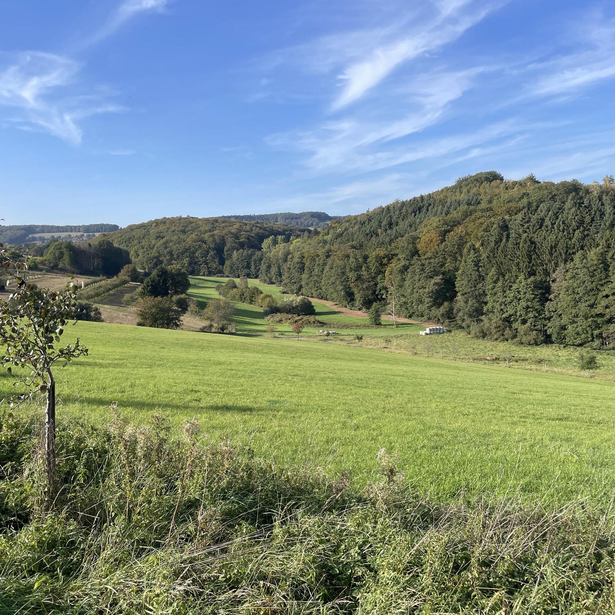
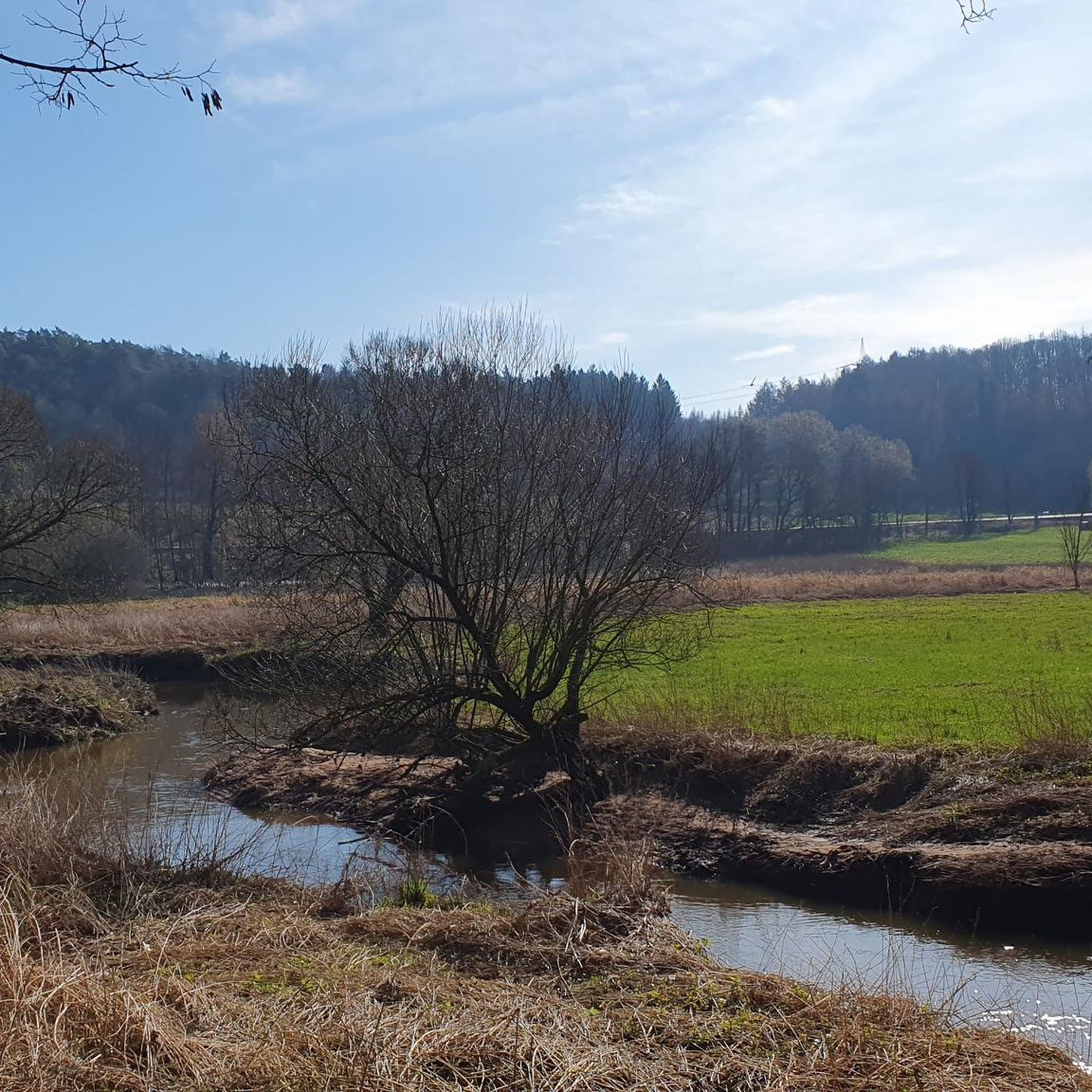
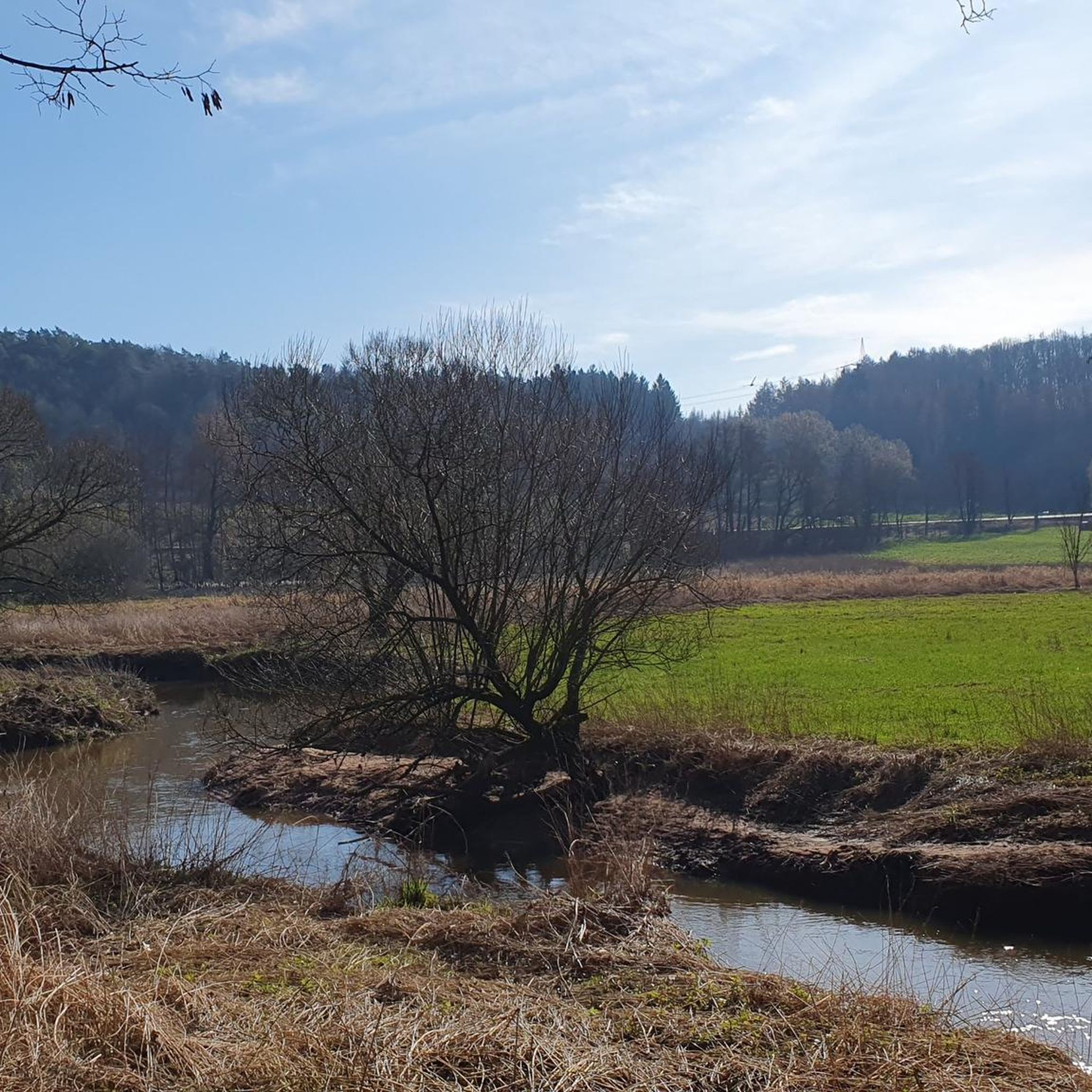
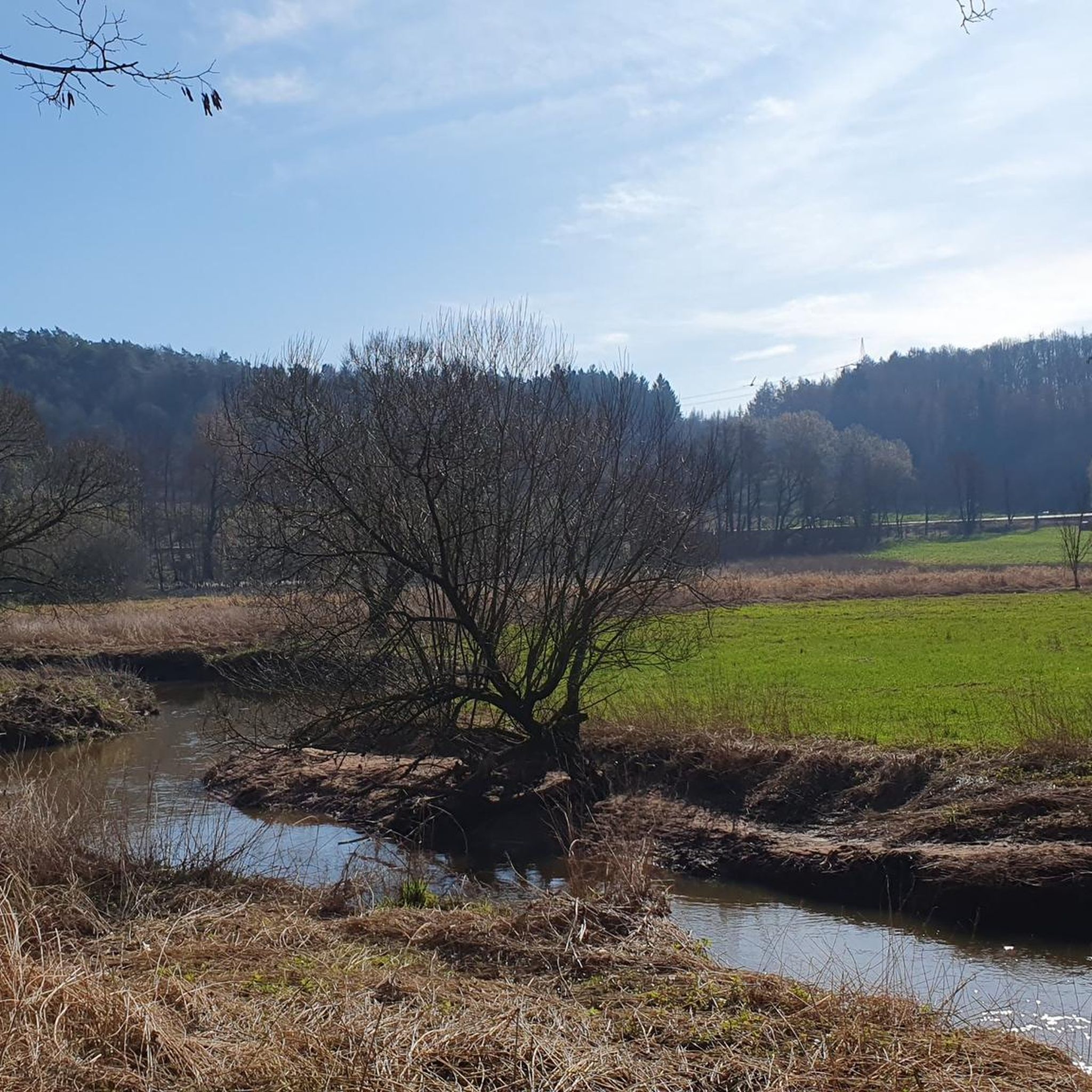
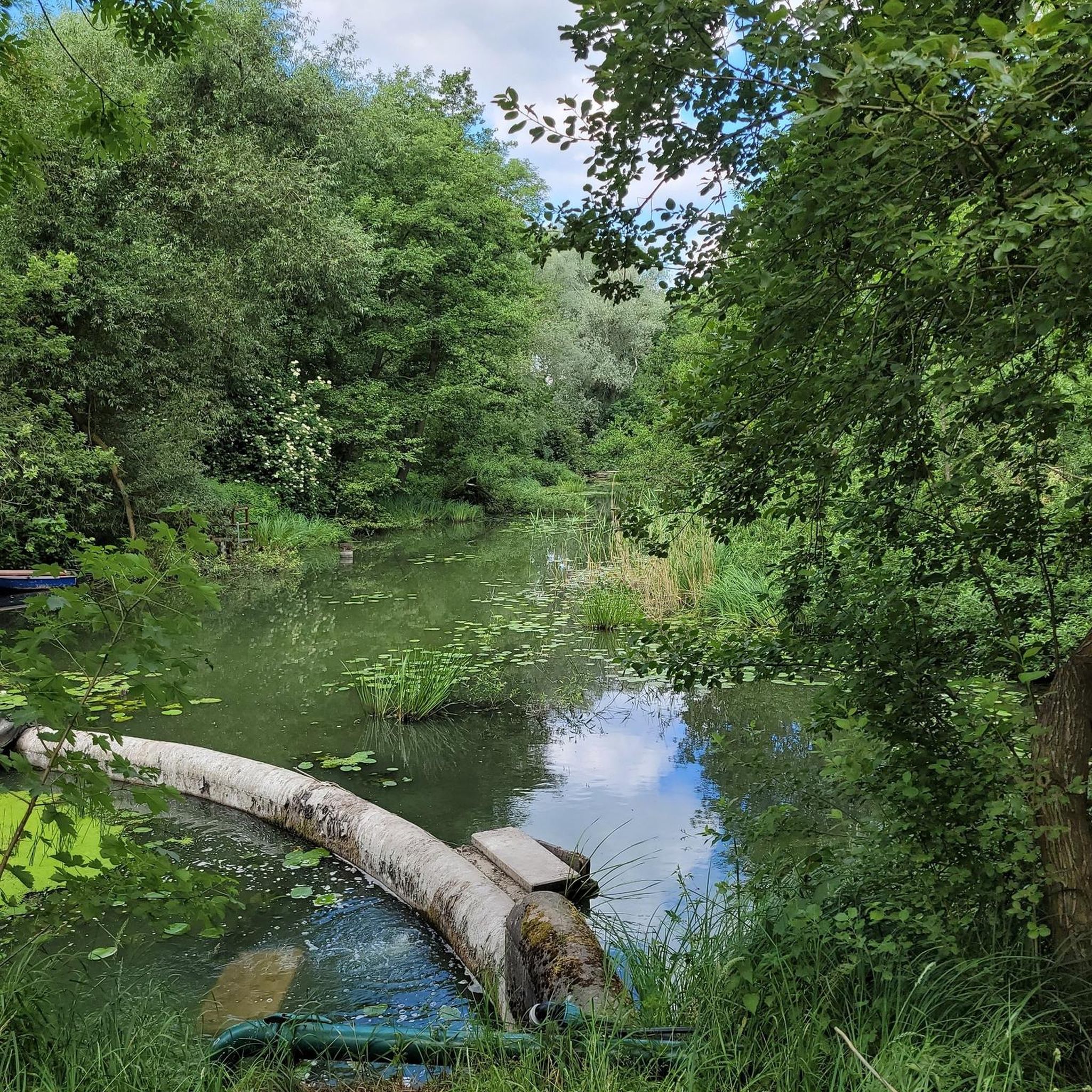
Tips from the Community


This is Moment of Freedom by Nagy Farred
1
0

Old craftsmanship
1
0
Frequently Asked Questions
How many running routes are available around Nanzdietschweiler?
Nanzdietschweiler offers a wide selection of running experiences, with over 500 routes documented on komoot. This includes a mix of easy, moderate, and difficult trails to suit various fitness levels.
Are there running routes suitable for beginners or those looking for an easy jog?
Yes, Nanzdietschweiler has approximately 70 easy running routes. These trails typically feature gentle terrain and minimal elevation changes, making them ideal for beginners or a relaxed jog. Many routes in the Glan river valley are relatively flat.
What kind of scenery can I expect on the running trails in Nanzdietschweiler?
The running routes in Nanzdietschweiler traverse a diverse landscape of gentle hills, picturesque river valleys, and forested paths. You'll encounter unique features like historic railway tunnels, such as the Glanthalbahn Tunnel, and open stretches offering scenic views along the Glan river.
Are there any circular running routes in the Nanzdietschweiler area?
Yes, many of the running routes around Nanzdietschweiler are designed as loops. For example, the Glantalbahn Tunnel – Elschbacher Tunnel loop from Nanzdietschweiler is a popular circular option that takes you through historic railway tunnels.
What are the typical lengths and durations of running trails in Nanzdietschweiler?
Running trails in Nanzdietschweiler vary in length. Moderate routes like the Börsborn bell tower – Muhleichenweg Oak Tree loop from Börsborn are around 4.2 miles (6.8 km) and can be completed in about 45 minutes. Longer options, such as the Rottersberg – Muhleichenweg Oak Tree loop from Börsborn, extend to about 9.1 miles (14.7 km) and take roughly 1 hour 35 minutes.
Can I bring my dog on the running trails around Nanzdietschweiler?
Generally, dogs are welcome on most outdoor trails in the region, especially on paths through forests and open countryside. However, it's always advisable to keep your dog on a leash, particularly in nature protection areas or near livestock, and to be mindful of other trail users.
What do other runners enjoy most about jogging in Nanzdietschweiler?
The running routes in Nanzdietschweiler are highly rated by the komoot community, with an average score of 4.4 stars from over 290 reviews. Runners often praise the varied terrain, the unique experience of running through historic railway tunnels, and the peaceful atmosphere of the Glan river valley.
Are there any interesting landmarks or attractions to see along the running routes?
Yes, the area offers several points of interest. You can explore the Elendsklamm gorge, discover the historic Glanthalbahn Tunnel, or pass by the tranquil Ohmbach Lake. Further afield, the impressive Nanstein Castle is also within the broader region.
When is the best time of year to go running in Nanzdietschweiler?
Spring and autumn are particularly pleasant for running in Nanzdietschweiler, with mild temperatures and vibrant natural colors. Summer offers longer daylight hours, though it can be warmer. Winter running is possible, especially on cleared paths, but some trails might be muddy or icy.
Are there family-friendly running options in Nanzdietschweiler?
Yes, many of the easier and moderate routes with less elevation gain are suitable for families. The gentle hills and well-maintained paths provide a pleasant environment for a family jog or walk. Look for routes that are shorter in distance and have a 'moderate' or 'easy' difficulty rating.
What are the elevation changes like on running trails in Nanzdietschweiler?
Elevation changes in Nanzdietschweiler are generally moderate. While some routes, like the Rottersberg loop from Glan-Münchweiler, feature rolling hills with around 79 meters of ascent, many trails in the river valleys offer flatter sections, making them accessible for various fitness levels.
Most popular routes around Nanzdietschweiler
Most popular attractions around Nanzdietschweiler

Get inspired with the komoot mobile app


Explore more
Browse the best Running Trails & Routes in other regions.
