The best walks and hikes around Ormoy-Lès-Sexfontaines
4.1
(39)
126
hikers
24
hikes
Hiking trails around Ormoy-Lès-Sexfontaines are set within the Haute-Marne department of France's Grand Est region, offering a verdant and rural environment. The landscape is characterized by woods, valleys, and hillsides, providing diverse scenic views for walkers. Specific natural features include the Fontaine d'Ormoy-lès-Sexfontaines, and the area is near the extensive green expanses of the Parc national des forêts. The region offers a variety of routes through its natural and historic settings.
Best hiking trails around Ormoy-Lès-Sexfontaines
- The most popular hiking…
Last updated: July 4, 2026
4.7
(6)
12
hikers
12.2km
03:20
190m
190m
Moderate hike. Good fitness required. Easily-accessible paths. Suitable for all skill levels.
4.3
(3)
18
hikers
10.4km
02:54
190m
190m
Moderate hike. Good fitness required. Easily-accessible paths. Suitable for all skill levels.

Sign up for free
4.0
(3)
10
hikers
3.75km
01:05
90m
100m
Easy hike. Great for any fitness level. Easily-accessible paths. Suitable for all skill levels.
3.5
(2)
7
hikers
6.41km
01:39
30m
30m
Easy hike. Great for any fitness level. Easily-accessible paths. Suitable for all skill levels.
3.5
(2)
7
hikers
6.48km
01:40
30m
30m
Easy hike. Great for any fitness level. Easily-accessible paths. Suitable for all skill levels.
Get access to more routes and recommendations from other explorers.
Sign up for free
Already have an account?
Our route recommendations are based on thousands of hikes, rides, and runs completed by other people on komoot.
Start today with a free account
Your next adventure awaits.
Login or Signup



Tips from the Community

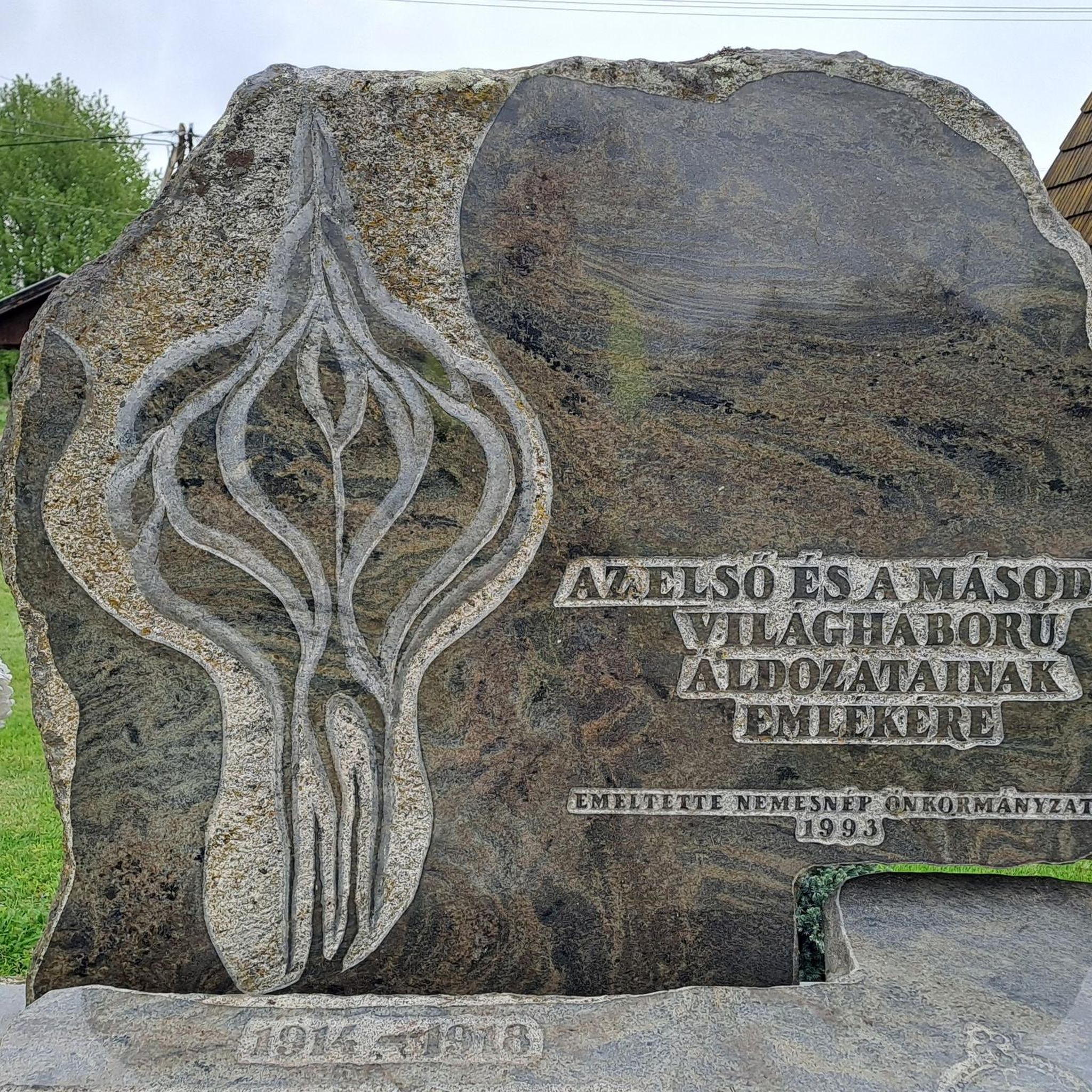
The Ecluse de Grandvaux is a lock on the Canal Entre Champagne et Bourgogne, a picturesque waterway that connects the Marne and Saône rivers in France. If you're looking for a peaceful and scenic hike, you can follow the towpath along the canal and enjoy the views of hills, forests and fields. The Grandvaux Lock is a secluded and quiet place, where you can relax and listen to the sound of the water.
2
0
La Roche Bernard is a rocky promontory which overlooks the Marne valley and offers stunning views and a picnic area at its summit. It is also a very popular site for climbing enthusiasts, with around forty routes of varying difficulty and height.
2
0
The Saint-Étienne Church in Vignory is a medieval church built between 1032 and 1054 by the powerful lords of Vignory. It is a rare and remarkable example of the transition between the Carolingian and Romanesque architectural styles. You will be able to admire its wooden roof, its three-level nave with a triforium, its sculpted capitals and its ambulatory choir. You can also see inside the church many medieval statues, tomb slabs and works of art from the 18th century. The church is surrounded by a garden and a wall which offer a panoramic view of the village and the castle ruins.
2
0
The Château de Vignory, in the department of Haute-Marne, dates from the 11th century and was the residence of the lords of Vignory, who were vassals of the counts of Burgundy and Champagne. You can explore the castle ruins, including the keep, the well tower and the cannon tower, and enjoy the view of the valley and the village. The castle is open for self-guided tours all year round, but you can also book a guided tour for a small fee.
2
0
Frequently Asked Questions
How many hiking trails are available around Ormoy-Lès-Sexfontaines?
There are over 20 hiking trails in the Ormoy-Lès-Sexfontaines area, offering a variety of experiences through its verdant landscapes. These include 8 easy routes and 12 moderate routes, ensuring options for different fitness levels.
Are there any easy or beginner-friendly hiking routes in the area?
Yes, Ormoy-Lès-Sexfontaines offers 8 easy hiking routes, perfect for beginners or those looking for a relaxed stroll. A great option is the Château de Vignory – Saint-Étienne Church loop from Vignory, a 2.4-mile (3.8 km) trail that takes you through local heritage sites and is typically completed in just over an hour.
What kind of terrain and natural features can I expect on the trails?
The region around Ormoy-Lès-Sexfontaines is characterized by diverse terrain, including woods, valleys, and hillsides. Many routes offer shaded paths, particularly pleasant during warmer months. You can also discover natural features like the Fontaine d'Ormoy-lès-Sexfontaines, and the area is close to the extensive green expanses of the Parc national des forêts de Champagne et Bourgogne.
Are there any family-friendly hiking options?
Absolutely. Many of the easy trails are suitable for families. The Petit Étang loop from Lamancine is an easy 4-mile (6.4 km) route with minimal elevation gain, making it a good choice for a leisurely family outing.
What interesting landmarks or attractions can I see along the hiking trails?
Hikers can explore several points of interest. The Château de Vignory is a notable historical site that can be incorporated into your hike, such as on the Château de Vignory — loop. You might also encounter features like the Grandvaux Lock or enjoy sections along the canal, offering a mix of natural beauty and local heritage.
Are there any circular hiking routes available?
Yes, many of the trails around Ormoy-Lès-Sexfontaines are circular, allowing you to start and end at the same point. A popular moderate circular route is La roche Bernard — loop from Viéville, which covers 7.5 miles (12.2 km) and offers varied terrain.
What is the best time of year to go hiking in this region?
The region experiences temperate summers and relatively cold winters. Spring and autumn are ideal for hiking, offering pleasant temperatures and vibrant natural colors. Summer provides lush, green landscapes with many shaded paths, while winter can offer a different, serene experience, though conditions may require appropriate gear.
What do other hikers enjoy most about hiking in Ormoy-Lès-Sexfontaines?
The hiking routes in Ormoy-Lès-Sexfontaines are highly rated by the komoot community, with an average score of 4.0 stars from over 30 reviews. Hikers often praise the area's verdant nature, the tranquility of its rural settings, and the diverse landscapes that include woods, valleys, and hillsides.
Is there public transport available to reach the hiking trailheads?
Ormoy-Lès-Sexfontaines is a small, rural commune. While local public transport options may be limited, it's advisable to check regional bus services or consider driving to access the various trailheads. Parking information is often available for specific routes.
Where can I find parking for the hiking trails?
Parking availability varies by trailhead. Many routes, especially those starting directly from villages like Vignory or Lamancine, will have designated parking areas nearby. It's recommended to check the specific route details on komoot for information on convenient parking spots.
Are the trails well-marked?
Many of the established trails in the region, including portions of the GR® de Pays Marie Calvès, are well-marked with yellow and green indicators. This helps hikers navigate through the local woods and serene countryside with confidence.
Most popular routes around Ormoy-Lès-Sexfontaines
Most popular attractions around Ormoy-Lès-Sexfontaines

Get inspired with the komoot mobile app


Explore more
Browse the best Hikes in other regions.
