The best mountain hikes around Oberstadtfeld
5.0
(163)
742
hikers
3
hikes
Mountaineering routes Oberstadtfeld traverse the volcanic landscape of the Vulkaneifel, characterized by ancient volcanic cones, maar lakes, and dense forests. The region offers varied terrain, from gentle ascents through woodlands to more challenging paths around historical sites. These routes provide opportunities to explore the unique geological features and natural beauty of the area.
Best mountaineering routes around Oberstadtfeld
- The most popular mountaineering route is Wäschebach Suspension Bridge loop from Manderscheid, a 4.8 miles (7.7 km) trail that takes 2…
Last updated: July 2, 2026
4.8
(152)
683
hikers
Hard mountaineering route. Great for any fitness level. Sure-footedness, sturdy shoes and alpine experience required.
5.0
(5)
24
hikers
Hard mountaineering route. Good fitness required. Sure-footedness, sturdy shoes and alpine experience required.

Sign up for free
5.0
(5)
23
hikers
Hard mountaineering route. Great for any fitness level. Sure-footedness, sturdy shoes and alpine experience required.
7
hikers
Hard mountaineering route. Great for any fitness level. Sure-footedness, sturdy shoes and alpine experience required.
5.0
(1)
3
hikers
8.31km
02:25
210m
220m
Moderate mountaineering route. Good fitness required. Easily-accessible paths. Suitable for all skill levels.
Our route recommendations are based on thousands of hikes, rides, and runs completed by other people on komoot.
Start today with a free account
Your next adventure awaits.
Login or Signup
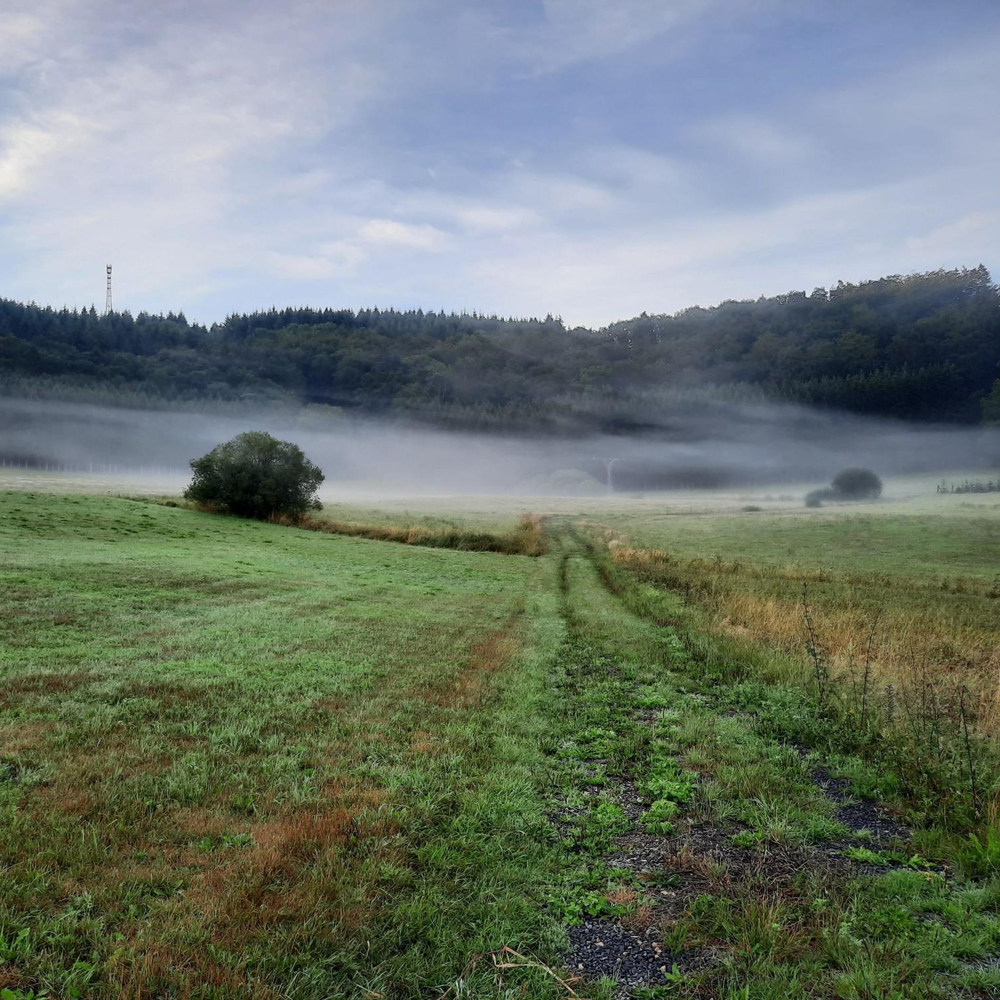
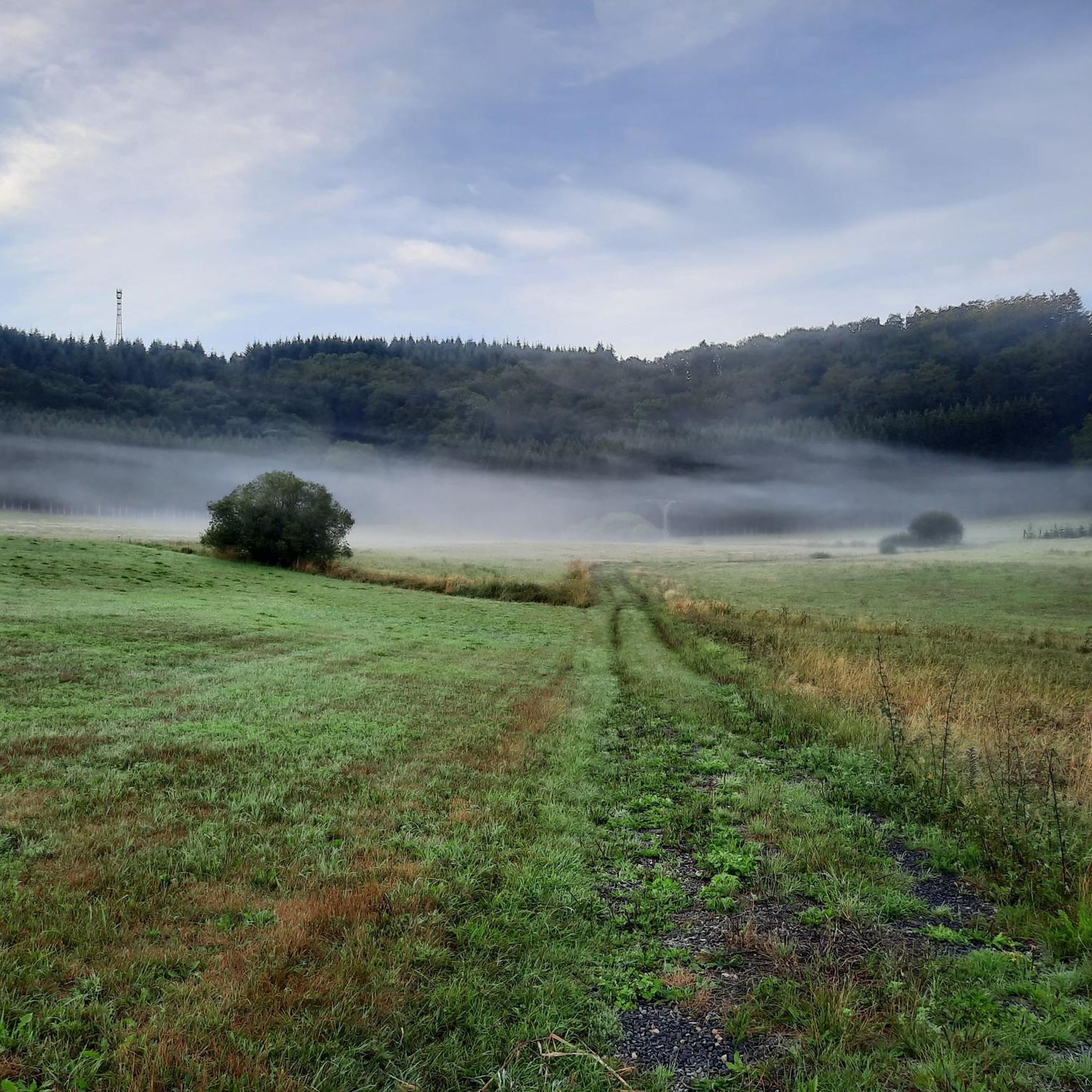
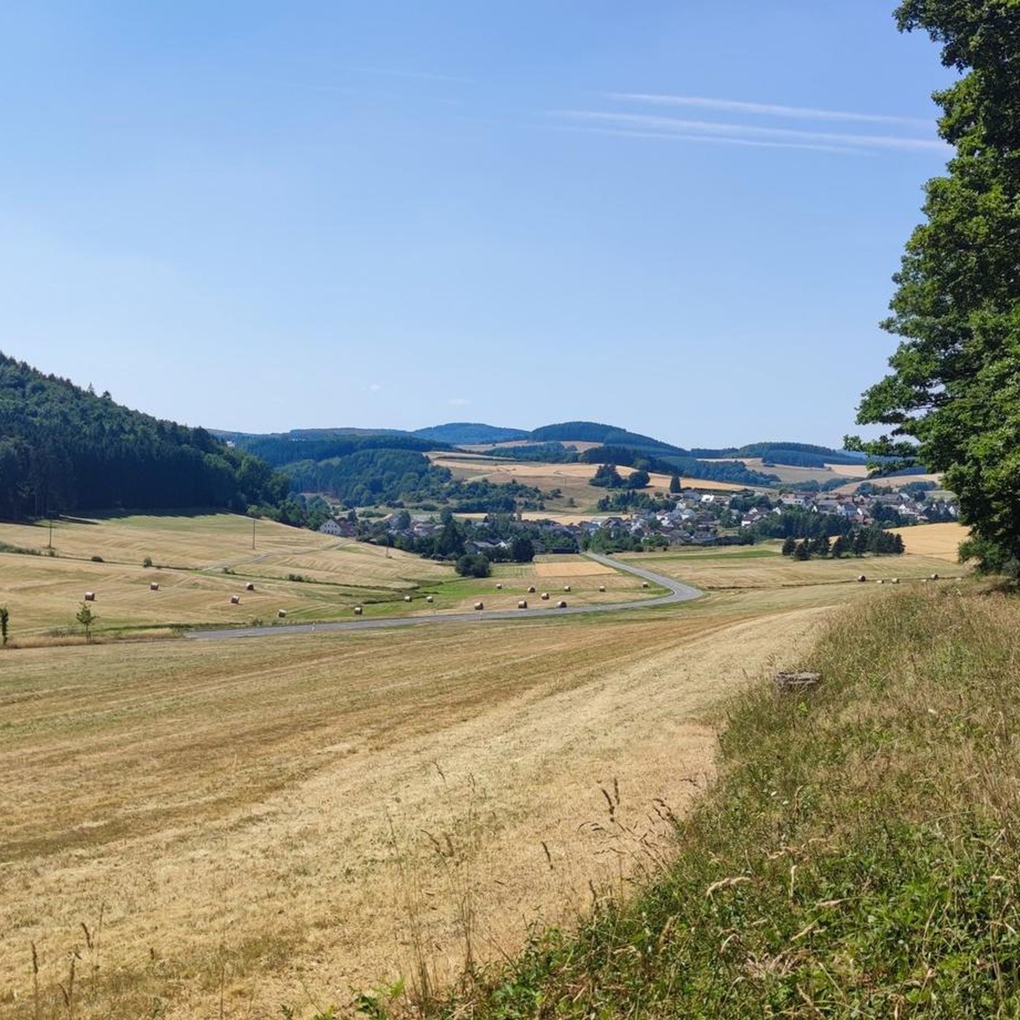
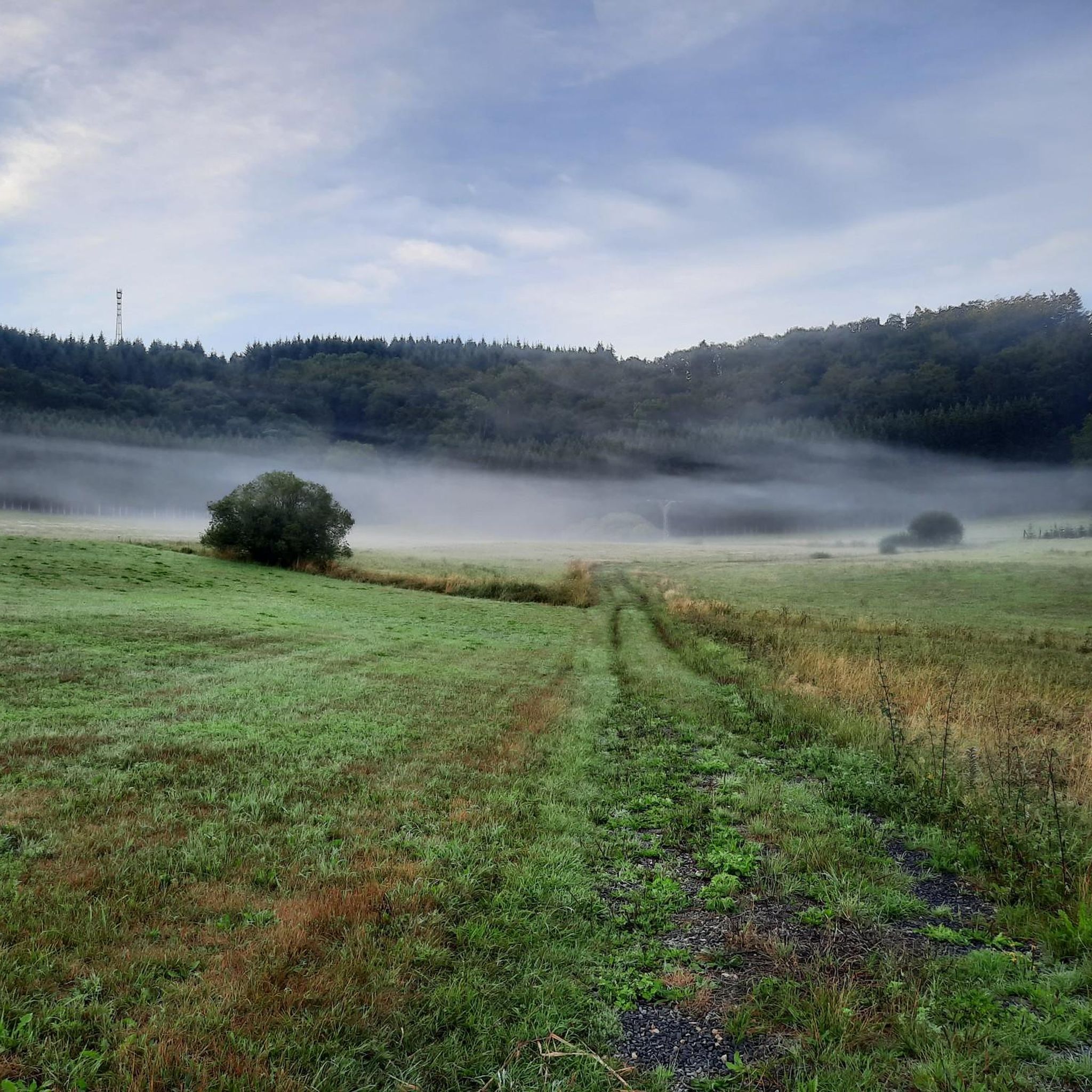
Tips from the Community

…a great challenging via ferrata in 3 stages with difficulties A - D along above the Lieser
0
0

Very nice view of the entire town.
0
0
Behind the Daun ski lift begins the mining zone for volcanic rock near the Gemünden Maar.
0
0
Small ski lift (if there is a bit more snow in winter)
0
0

This is where real climbers come into their own. But that wasn't part of our route.
0
0

There are many wonderful plants to admire in and around the open-cast mine. Broom, lupins, clover...
0
0

A wonderful destination, ideal for hiking and cycling
1
1

Behind the Daun ski lift begins the mining zone of the volcanic rock near the Gemünden Maar.
1
0
Frequently Asked Questions
What kind of terrain can I expect on mountaineering routes around Oberstadtfeld?
The mountaineering routes around Oberstadtfeld traverse the unique volcanic landscape of the Vulkaneifel. You'll encounter ancient volcanic cones, picturesque maar lakes, and dense forests. The terrain varies from gentle ascents through woodlands to more challenging paths that often lead past historical sites and offer insights into the region's geological features.
Are there any easy mountaineering routes suitable for beginners in Oberstadtfeld?
While many routes in the immediate vicinity are rated as difficult, the broader Vulkaneifel region offers a range of options. For a moderate experience that's a good step up for beginners, consider the View of the Gemündener Maar – Weinfelder Church loop from Schalkenmehren. This 5.2-mile (8.3 km) path offers panoramic views and passes a historic church.
What are some challenging mountaineering routes near Oberstadtfeld?
For those seeking a challenge, the area offers several difficult routes. The Wäschebach Suspension Bridge loop from Manderscheid is a popular choice, covering 4.8 miles (7.7 km) with scenic views and a notable suspension bridge. Another difficult option is the Keep of Oberburg Castle loop from Manderscheid, which is 2.6 miles (4.3 km) long.
Are there any circular mountaineering routes in the Oberstadtfeld area?
Yes, many of the mountaineering routes around Oberstadtfeld are designed as loops, allowing you to start and end at the same point. For example, the Wäschebach Suspension Bridge – Keep of Oberburg Castle loop from Manderscheid is a 3.3-mile (5.3 km) circular trail that takes you through forested valleys and past castle ruins.
What is the best season for mountaineering in Oberstadtfeld?
The Vulkaneifel region is beautiful year-round. Spring brings blooming wildflowers, summer offers lush greenery, and autumn showcases vibrant foliage. While winter mountaineering is possible, be prepared for colder temperatures and potentially icy conditions, especially on higher elevations or shaded paths. Always check local weather forecasts before heading out.
What kind of scenic viewpoints can I find along the trails?
The volcanic landscape provides numerous scenic viewpoints. You can expect panoramic views of the Eifel's rolling hills, deep valleys, and the distinctive maar lakes. Routes often lead to elevated points offering vistas over the unique geological formations and dense forests that characterize the region.
Are there any interesting landmarks or attractions near the mountaineering routes?
Absolutely! The region is rich in natural and historical landmarks. You can explore fascinating geological features like the Buchenloch Cave or the Millstone Cave at Nerother Kopf. Many routes also pass by historic castle ruins, adding a cultural dimension to your mountaineering experience.
What do other mountaineers say about the routes in Oberstadtfeld?
The mountaineering routes in Oberstadtfeld are highly regarded by the komoot community, with an average rating of 5.0 stars from over 100 reviews. Reviewers often praise the diverse volcanic landscape, the well-maintained paths, and the combination of natural beauty with historical sites like castles and maars.
Do I need any special permits for mountaineering in Oberstadtfeld?
Generally, no special permits are required for mountaineering on the public trails around Oberstadtfeld. However, always respect local regulations, stay on marked paths, and be mindful of private property or designated nature reserves. If you plan to visit specific attractions or engage in other activities, it's wise to check their individual requirements.
Are there any family-friendly mountaineering options in the area?
While many routes are rated difficult, the Vulkaneifel region does offer options for families. Look for shorter, less strenuous paths that focus on specific points of interest like a maar lake or a gentle forest walk. Always check the distance and elevation gain to ensure it's suitable for all family members.
Where can I find parking for the mountaineering trails?
Trailheads for mountaineering routes in the Oberstadtfeld area typically have designated parking areas, especially in villages like Manderscheid or Schalkenmehren, which serve as common starting points. It's advisable to check specific route descriptions on komoot for detailed parking information before your trip.
What should I wear for mountaineering in Oberstadtfeld?
Given the varied terrain and potential for changing weather in the Eifel, it's best to dress in layers. Sturdy hiking boots with good ankle support are essential. Depending on the season, bring rain gear, sun protection, and sufficient water. For winter, add warm, waterproof clothing and consider traction devices for icy sections.
Most popular routes around Oberstadtfeld
Most popular attractions around Oberstadtfeld

Get inspired with the komoot mobile app


Explore more
Browse the best Mountain Hikes & Routes in other regions.
