The best running trails around Schloßböckelheim
4.3
(560)
5,771
runners
341
runs
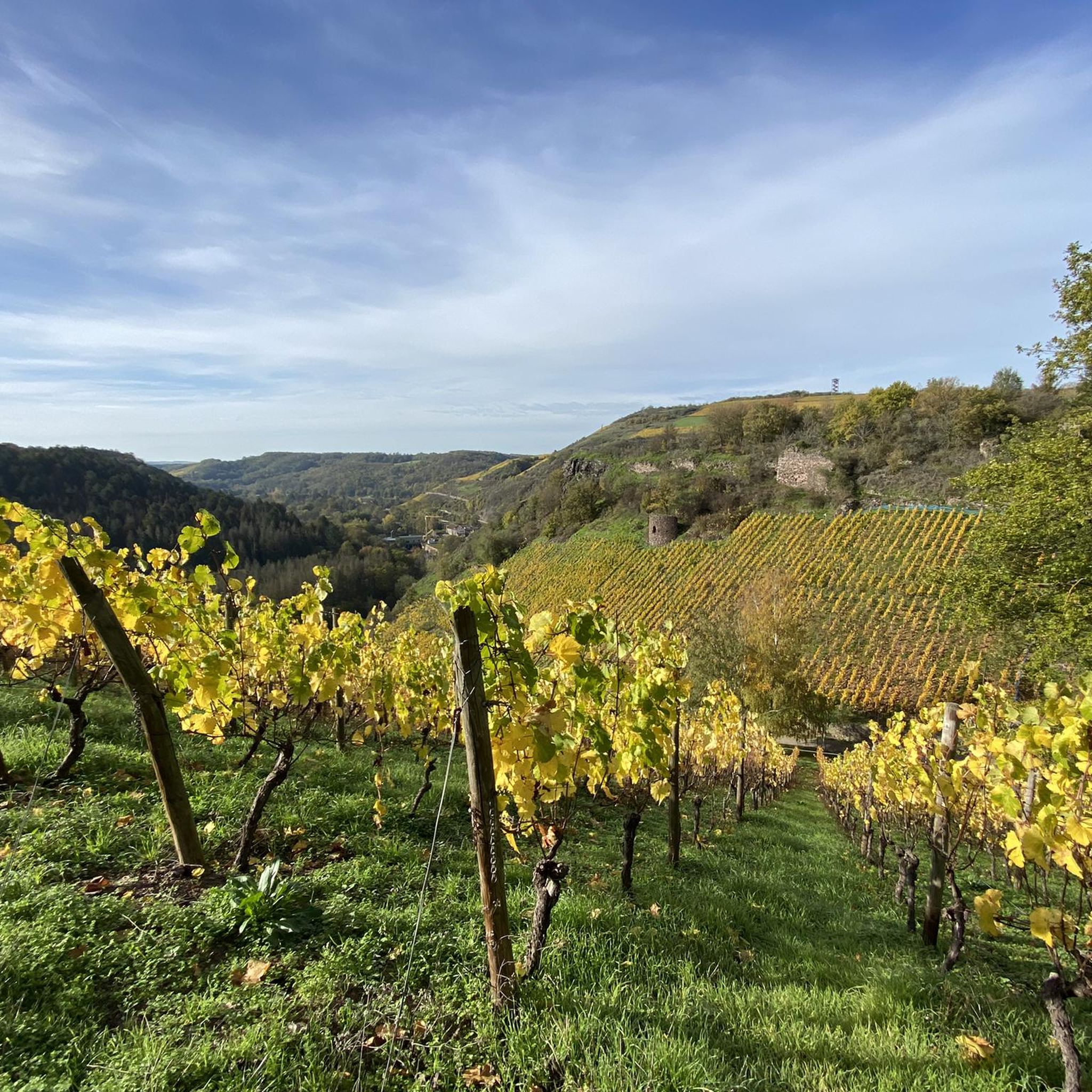
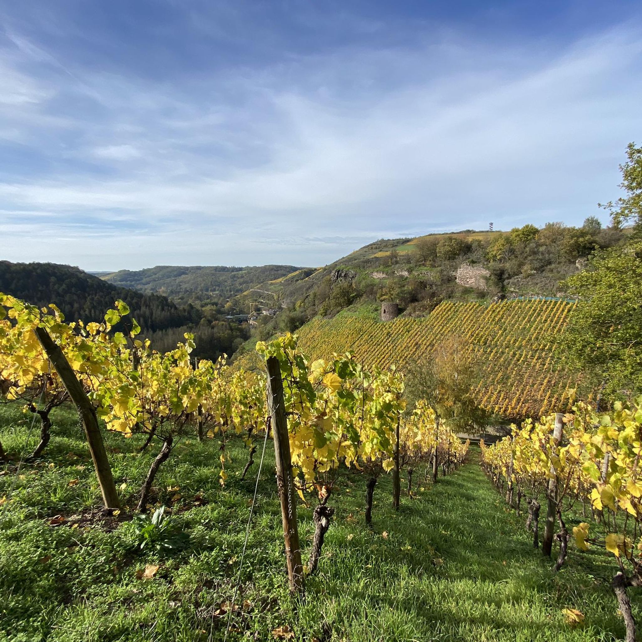
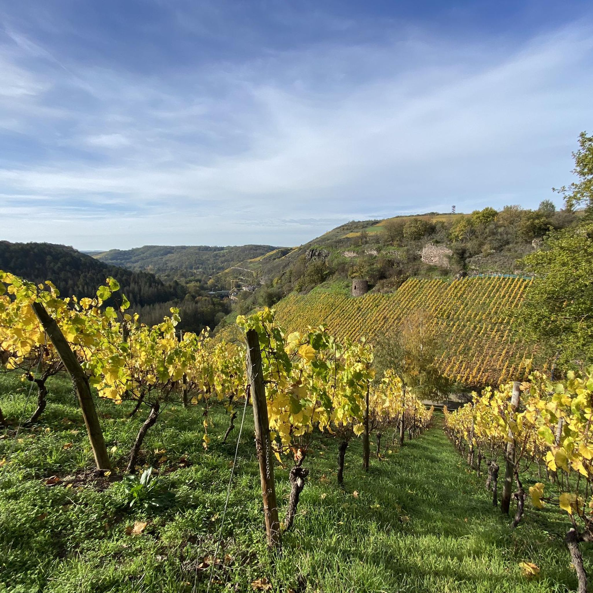
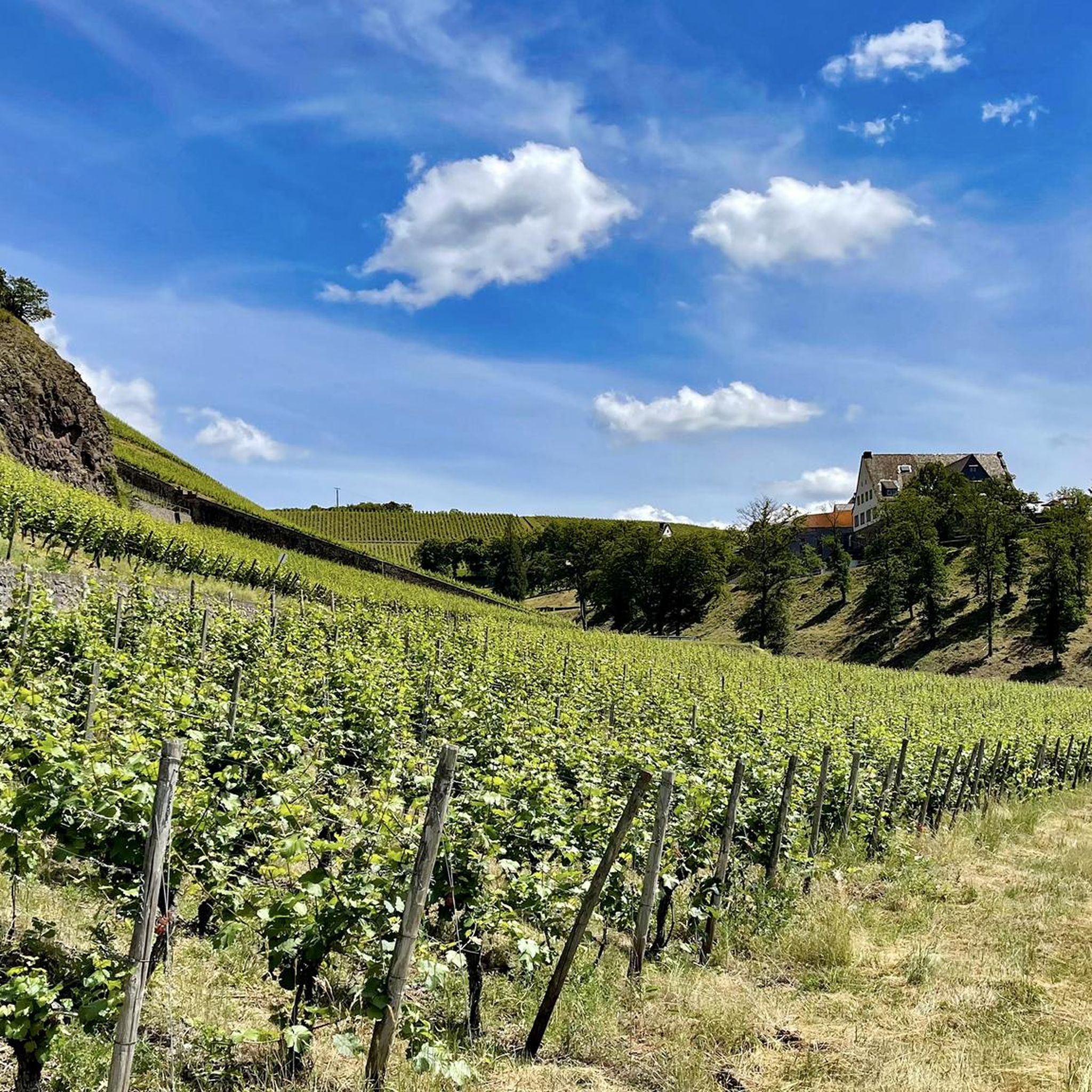
Jogging routes around Schloßböckelheim offer diverse landscapes within the picturesque Nahe region. The area is characterized by the scenic Nahe River Valley, featuring verdant greenery and dramatic rock formations. Runners can explore routes through sun-kissed vineyards and cool wooded areas, providing varied terrain. The topography frequently includes constant ups and downs, offering engaging challenges and changing perspectives.
Best jogging routes around Schloßböckelheim
- The most popular jogging route is Smurf Village on Lemberg – Silbersee loop from Schloßböckelheim, a 12.9…
Last updated: July 2, 2026
4.0
(1)
42
runners
20.8km
02:28
500m
500m
Hard run. Very good fitness required. Mostly paved surfaces. Suitable for all skill levels.
5.0
(2)
38
runners
22.1km
02:19
80m
80m
Hard run. Very good fitness required. Mostly paved surfaces. Suitable for all skill levels.

Sign up for free
5.0
(2)
30
runners
Moderate run. Good fitness required. Mostly paved surfaces. Suitable for all skill levels.
4.0
(1)
27
runners
6.86km
00:43
70m
70m
Moderate run. Good fitness required. Mostly paved surfaces. Suitable for all skill levels.
5.0
(5)
25
runners
15.2km
01:35
80m
80m
Hard run. Very good fitness required. Mostly paved surfaces. Suitable for all skill levels.
Get access to more routes and recommendations from other explorers.
Sign up for free
Already have an account?
Our route recommendations are based on thousands of hikes, rides, and runs completed by other people on komoot.
Start today with a free account
Your next adventure awaits.
Login or Signup
Other adventures around Schloßböckelheim

Tips from the Community

Very nice cycle path 🚴♂️
0
0

The oldest stone parish church was built around the year 1000 by Archbishop Willigis of Mainz. Well-preserved floor tiles from this Romanesque structure still exist, located in the tower named after the archbishop, approximately 70 cm below the current floor level. The door that led into the church during the Romanesque period has also been uncovered. In the round-arched area above the lintel, on the inside facing the chancel, the image of Christ enthroned, long hidden beneath a thin layer of plaster, has been revealed. This fresco, created in the first half of the 13th century, is the only surviving image from the Romanesque predecessor church. [Note 1] The Romanesque parish church was replaced in three phases during the 15th century by the current Late Gothic building. The initiative for the new construction came from the parish, which was responsible for the construction and maintenance of the chancel. The exact date of the start of construction can no longer be determined. Only two documents confirm that the construction work was carried out at the beginning of the century. Source: https://www.regionalgeschichte.net/naheland/bad-sobernheim/kulturdenkmaeler/evangelische-matthiaskirche.html
1
0

Inconspicuously located on the road between Waldböckelheim and Marienpforter Hof.
2
0
The mountain church is the widely visible landmark of Waldböckelheim, built between 1863 and 1867.
3
0

The Protestant church stands majestically high above Waldböckelheim, visible from afar.
0
0

Rotenfels: Alpine feeling on the bike path! Watch out, a giant is in sight! Shortly after Bad Münster am Stein-Ebernburg, you pass the Rotenfels massif, the highest cliff face in Germany north of the Alps. We're talking about over 200 meters of pure rock, rising vertically above the Nahe River. This isn't a hill anymore; it's a geological shocker! The entire mass consists of reddish porphyry rock, which glows fiery red, especially in the evening (or in good light). Truly spectacular. From the bike path, you can see the full force of it. You suddenly feel very small, which can be quite relaxing after 50 kilometers in the saddle. Fun fact: Up on the Rotenfels is a climbing area – only for pros! I prefer to stay on my 25mm tire asphalt and enjoy the view from below. No need to climb too high; the panorama from here is already unbeatable! My tip: Stop and enjoy the moment. Take a photo with this rock colossus as proof.
1
0
Six-arched stone bridge, built in 1889 by Prince Luitpold of Bavaria. The border between Prussia and Bavaria once ran here.
3
0
Of course you take it with you on the Lemberg round and walk around it once.
3
0
Frequently Asked Questions
How many running routes are available around Schloßböckelheim?
Komoot offers a wide selection of over 350 running routes around Schloßböckelheim. These routes cater to various fitness levels, from easy paths to challenging trails, ensuring there's something for every runner.
What kind of terrain can I expect on jogging routes in Schloßböckelheim?
The jogging routes in Schloßböckelheim offer a diverse landscape. You'll find paths winding through the scenic Nahe River Valley, sun-kissed vineyards, and cool wooded areas. The topography frequently includes constant ups and downs, providing engaging challenges and ever-changing perspectives of the surrounding countryside.
Are there easy running paths suitable for beginners in Schloßböckelheim?
Yes, Schloßböckelheim offers 31 easy running routes perfect for beginners or those looking for a more relaxed jog. These paths often feature gentler inclines and well-maintained surfaces, allowing you to enjoy the beautiful scenery without excessive challenge.
Can I find challenging running routes for experienced runners?
Absolutely. For experienced runners seeking a challenge, there are 84 difficult routes available. These trails often feature significant elevation changes and varied terrain. An example is the Smurf Village on Lemberg – Silbersee loop from Schloßböckelheim, which covers 12.9 miles with considerable elevation gain.
Are there circular running trails in the Schloßböckelheim area?
Yes, many of the running routes around Schloßböckelheim are designed as loops, allowing you to start and finish at the same point. For instance, the Draisine Station Dreimühlen – Giant Bench in Bad Sobernheim loop from Schloßböckelheim is a popular circular option offering expansive views.
What scenic viewpoints or attractions can I see while jogging?
The routes often pass by stunning natural and historical attractions. You might encounter the dramatic Rotenfels Cliff, offering expansive vistas, or the historic Rheingrafenstein Castle Ruins. The Silver Lake (Lemberg Nature Reserve) is another beautiful spot you might discover on your run.
Are the jogging routes in Schloßböckelheim family-friendly?
While some routes feature challenging terrain, many of the easier and moderate paths are suitable for families. The varied landscapes, including vineyards and wooded areas, provide an engaging environment for all ages. We recommend checking the difficulty level of specific routes to ensure they align with your family's capabilities.
Is it possible to access running trails by public transport?
Schloßböckelheim and the surrounding Nahe region have public transport options, though direct access to every trail starting point may vary. It's advisable to check local bus or train schedules to nearby towns like Bad Sobernheim or Waldböckelheim, and then plan your route from there. For broader regional information, you can consult Rheinland-Pfalz Tourismus.
Is there parking available near the running trails?
Yes, many trailheads and popular starting points in and around Schloßböckelheim offer parking facilities. Given the region's popularity for outdoor activities, you'll generally find designated parking areas, especially near towns or significant attractions. It's always a good idea to check specific route details on komoot for parking recommendations.
What do other runners say about the routes in Schloßböckelheim?
The running routes in Schloßböckelheim are highly rated by the komoot community, with an average score of 4.3 stars from over 500 reviews. Runners often praise the diverse landscapes, the engaging 'ups and downs' of the terrain, and the beautiful views of the Nahe River Valley and vineyards.
Are dogs allowed on the running trails in Schloßböckelheim?
Generally, dogs are welcome on most outdoor trails in the Nahe region, including those around Schloßböckelheim. However, it's always recommended to keep your dog on a leash, especially in nature reserves, agricultural areas, or near wildlife. Please be mindful of local regulations and other trail users.
Are there any running routes that pass by cafes or places to rest?
While specific routes may not always guarantee a cafe directly on the path, many trails pass through or near charming villages and towns in the Nahe region. These often offer opportunities to find cafes, restaurants, or benches for a rest. The region's wine culture also means you might find wineries offering refreshments along some vineyard routes.
What is the best time of year to go jogging in Schloßböckelheim?
Schloßböckelheim offers excellent jogging conditions throughout much of the year. Spring and autumn provide pleasant temperatures and vibrant scenery, with blooming vineyards or colorful foliage. Summer is also great, especially for shaded forest paths, though it's best to run in the mornings or evenings to avoid the midday heat. Winter runs can be beautiful, but be prepared for potentially colder and wetter conditions.
Most popular routes around Schloßböckelheim
Most popular attractions around Schloßböckelheim

Get inspired with the komoot mobile app


Explore more
Browse the best Running Trails & Routes in other regions.
