The best walks and hikes around Saint-Michel-De-Villadeix
4.4
(39)
211
hikers
30
hikes
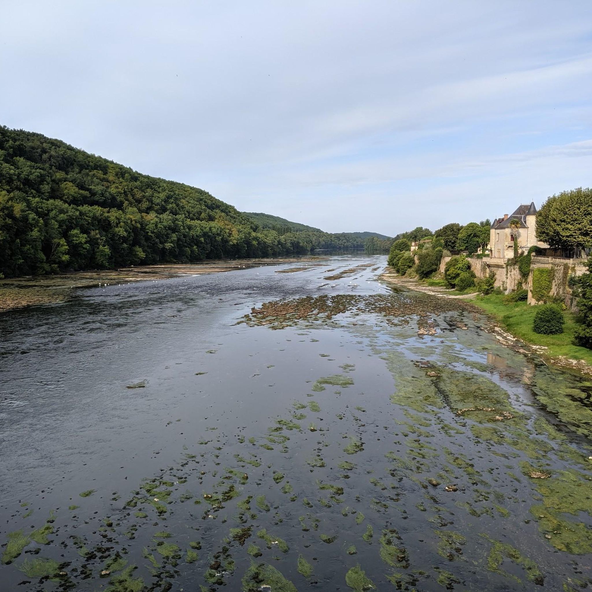
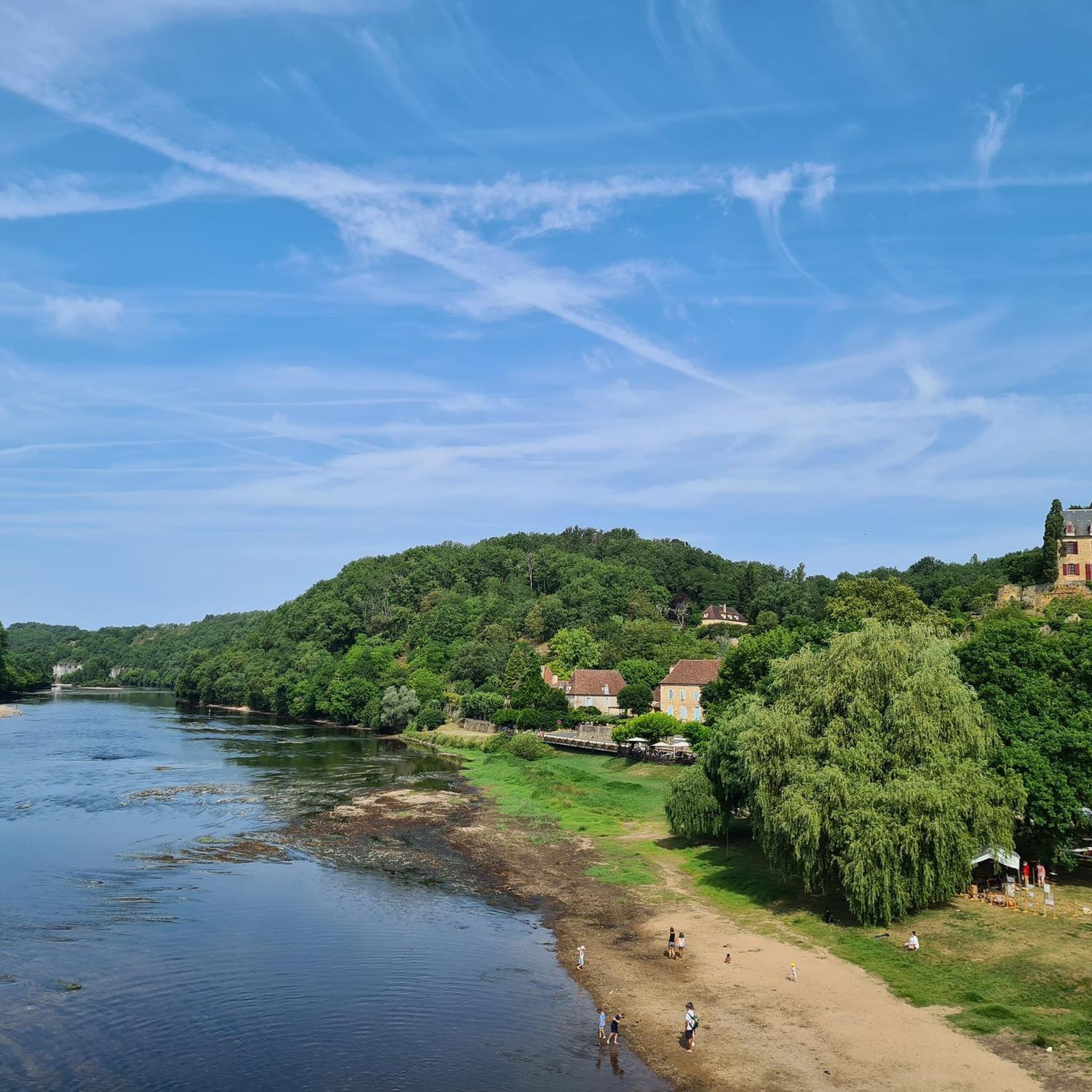
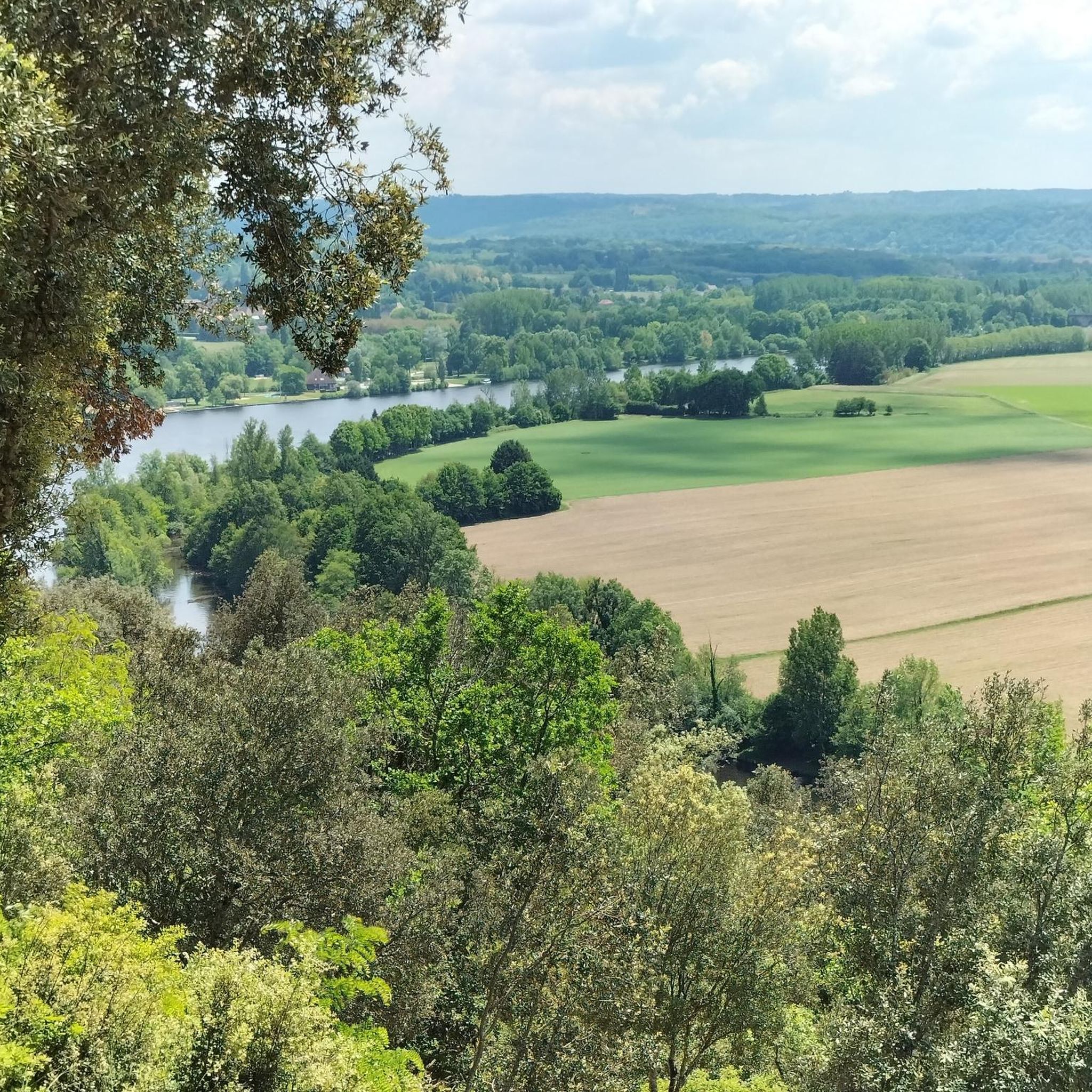
Hiking around Saint-Michel-De-Villadeix offers diverse landscapes within the Dordogne department of Nouvelle-Aquitaine. The region features a mosaic of plains, hills, and forests, providing varied scenery for outdoor activities. Hikers can explore paths through woodlands and discover riverine scenery along the wider Dordogne River valley. The terrain includes gentle gradients suitable for various fitness levels.
Best hiking trails around Saint-Michel-De-Villadeix
- The most popular hiking route is Refreshments after the tour – Louyre Loop loop from Sainte-Alvère, an easy 3.2 miles…
Last updated: May 21, 2026
4.2
(5)
15
hikers
5.15km
01:26
90m
90m
Easy hike. Great for any fitness level. Easily-accessible paths. Suitable for all skill levels.
3.5
(2)
21
hikers
6.74km
01:49
90m
90m
Easy hike. Great for any fitness level. Easily-accessible paths. Suitable for all skill levels.

Sign up for free
5.0
(2)
7
hikers
12.5km
03:25
180m
180m
Moderate hike. Good fitness required. Easily-accessible paths. Suitable for all skill levels.
5.0
(3)
17
hikers
6.55km
01:47
100m
100m
Easy hike. Great for any fitness level. Easily-accessible paths. Suitable for all skill levels.
7
hikers
4.53km
01:12
50m
50m
Easy hike. Great for any fitness level. Easily-accessible paths. Suitable for all skill levels.
Get access to more routes and recommendations from other explorers.
Sign up for free
Already have an account?
Our route recommendations are based on thousands of hikes, rides, and runs completed by other people on komoot.
Start today with a free account
Your next adventure awaits.
Login or Signup


Tips from the Community

A hiking tour requires a stop for refreshments, right? This is where people meet and enjoy a nice, cold beer.
0
0

Small campsite in the middle of nature.
0
0
Frequently Asked Questions
What kind of terrain can I expect on hikes around Saint-Michel-De-Villadeix?
The region around Saint-Michel-De-Villadeix offers a varied landscape, including plains, rolling hills, and extensive forests. You'll find paths winding through woodlands and opportunities for walks with views of the wider Dordogne River valley. The terrain generally features gentle gradients, making it accessible for various fitness levels.
Are there many easy hiking trails in Saint-Michel-De-Villadeix?
Yes, Saint-Michel-De-Villadeix is well-suited for easy walks. Out of approximately 30 hiking routes available, 16 are classified as easy. An example is the Refreshments after the tour – Louyre Loop loop from Sainte-Alvère, which is an easy 5.2 km trail.
What are the options for more challenging hikes in the area?
While there are no routes classified as 'difficult' directly within the komoot guide for Saint-Michel-De-Villadeix, there are 14 moderate trails available. These offer a bit more challenge than the easy routes. For instance, the Boucle du Haut de Vern loop from Cendrieux is a moderate 12.5 km trail that leads through varied terrain.
Are there any circular walks or loop trails available?
Many of the trails around Saint-Michel-De-Villadeix are designed as loops, offering convenient circular walks. Examples include the easy La Brugère Campsite loop from Constant, which is 6.7 km, and the moderate Boucle du Haut de Vern loop from Cendrieux.
What natural features can I see while hiking in this region?
Hikers can enjoy a mosaic of natural features, including diverse forests, plains, and hills. The wider Dordogne River valley, a UNESCO Biosphere Reserve, offers riverine scenery and paths with panoramic views, such as those overlooking the Dordogne. The landscape also changes beautifully with the seasons.
What do other hikers enjoy most about the trails in Saint-Michel-De-Villadeix?
The hiking routes in Saint-Michel-De-Villadeix are highly rated by the komoot community, with an average score of 4.1 stars from over 30 reviews. Hikers often praise the varied terrain, the peaceful forest paths, and the accessibility of routes for different skill levels.
Are there any family-friendly hiking options?
Yes, with 16 easy trails available, there are plenty of family-friendly options around Saint-Michel-De-Villadeix. These shorter, less strenuous loops are ideal for walks with children. The La Brugère Campsite – Camping Rene and Lieke loop from Clermont-de-Beauregard is an easy 4.5 km route that could be suitable for families.
What is the best time of year to go hiking in Saint-Michel-De-Villadeix?
The region's landscape offers seasonal beauty throughout the year. Spring and summer bring vibrant greens, while autumn showcases rich hues, making these seasons particularly appealing for hiking. The diverse terrain and shaded forest paths can also provide pleasant conditions during warmer months.
Are there any notable landmarks or attractions near the hiking trails?
While hiking, you'll be in proximity to charming villages and historical sites within the broader Périgord region. For example, Limeuil, classified as one of the 'Most Beautiful Villages of France,' is about 17 km away. Other nearby points of interest include Paunat with its large abbey-church and the Chartreuse du Colombier, a traditional stone house with a garden.
How many hiking routes are available in total around Saint-Michel-De-Villadeix?
There are approximately 30 hiking routes available for exploration around Saint-Michel-De-Villadeix, offering a good variety for different preferences and fitness levels.
Can I find walks that explore the immediate surroundings of Saint-Michel-De-Villadeix?
Yes, there are several shorter, easy loops that allow you to explore the immediate vicinity. These include routes like the 'Rue du 19 Mars 1962 Loop' and 'Route de Puyréal Loop' mentioned in regional research, providing accessible ways to discover the local area.
Are there any specific trails that offer river views?
The wider Dordogne River is a significant natural feature of the region. While specific komoot routes directly along its banks are not detailed in the guide data, the region research mentions opportunities for walks along its banks and views of its meandering course, such as the Mauzac Cliffs Trail, which provides exceptional panoramas of the valley.
Most popular routes around Saint-Michel-De-Villadeix

Get inspired with the komoot mobile app


Explore more
Browse the best Hikes in other regions.
