The best running trails around Hüffelsheim
4.4
(682)
6,956
runners
378
runs
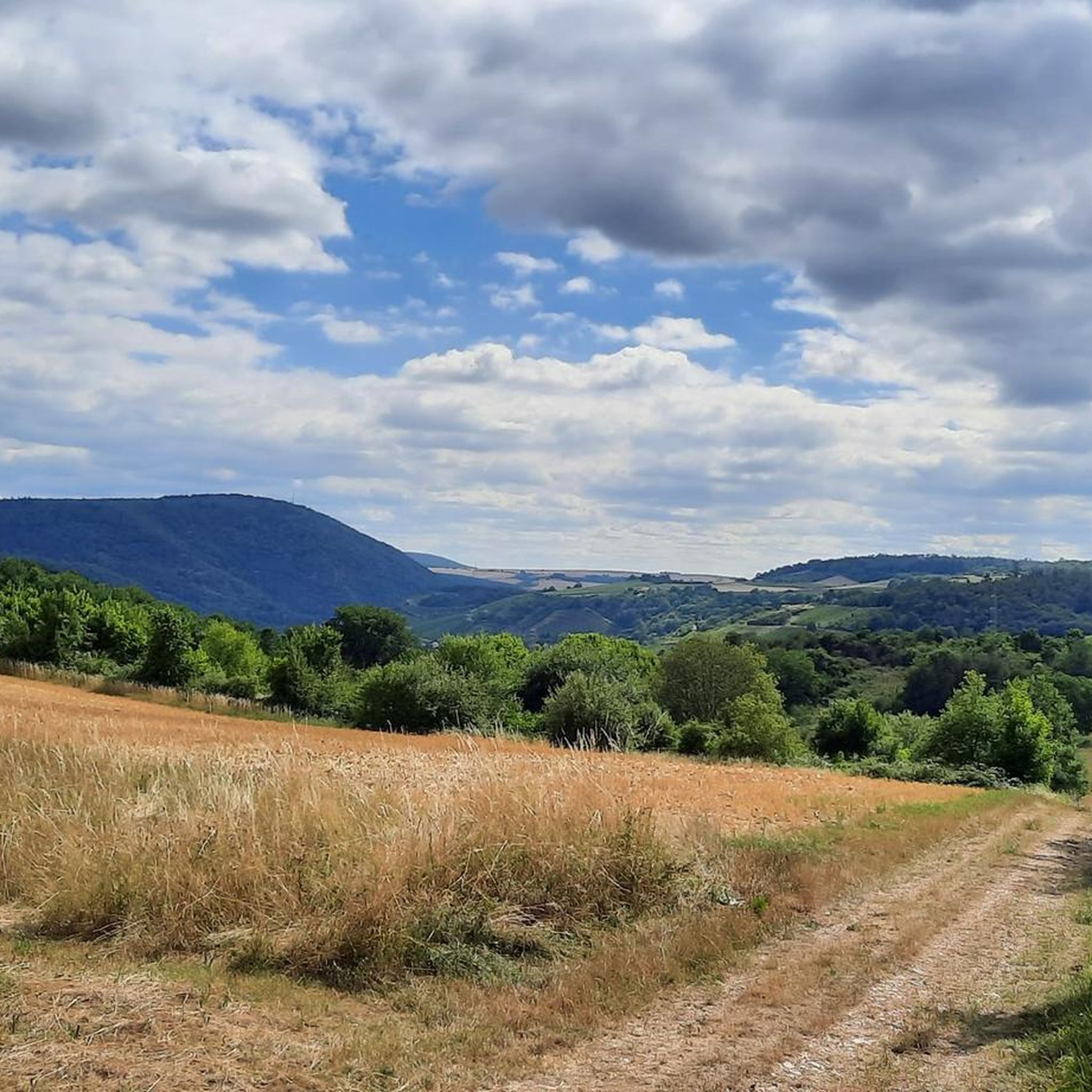
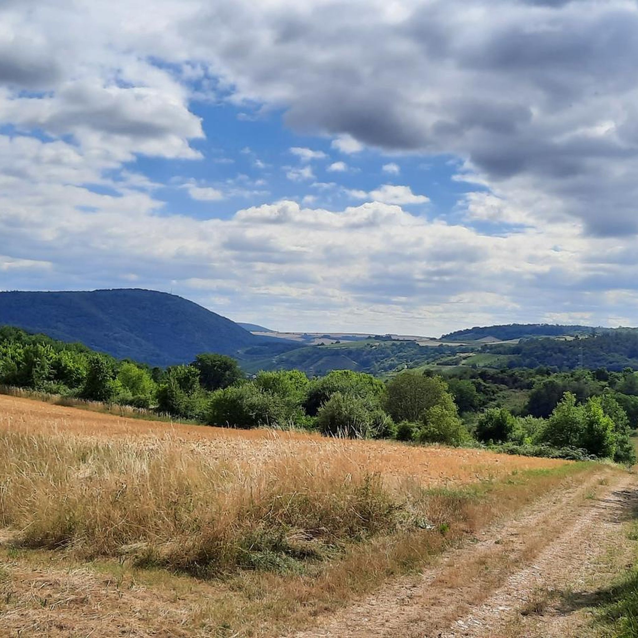
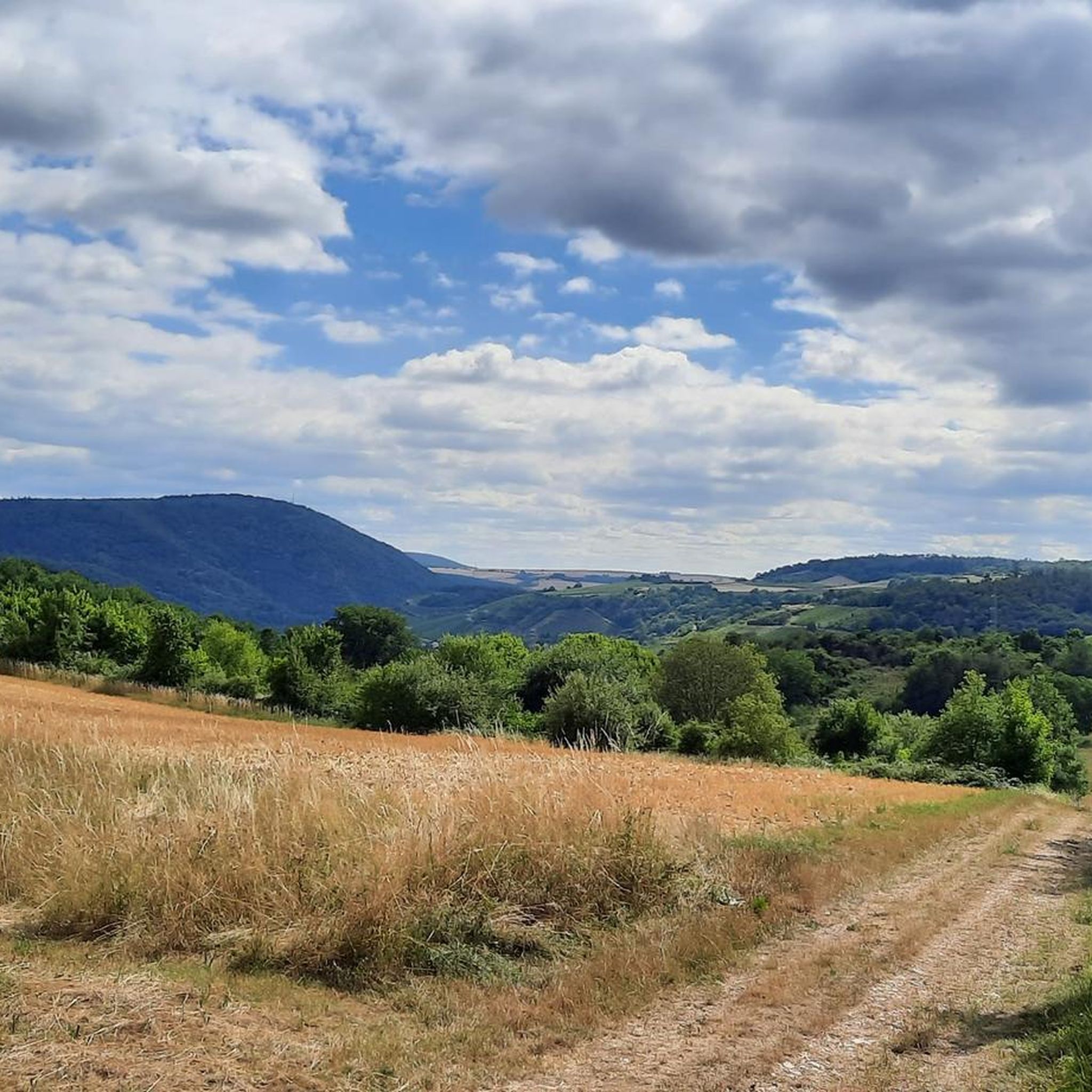
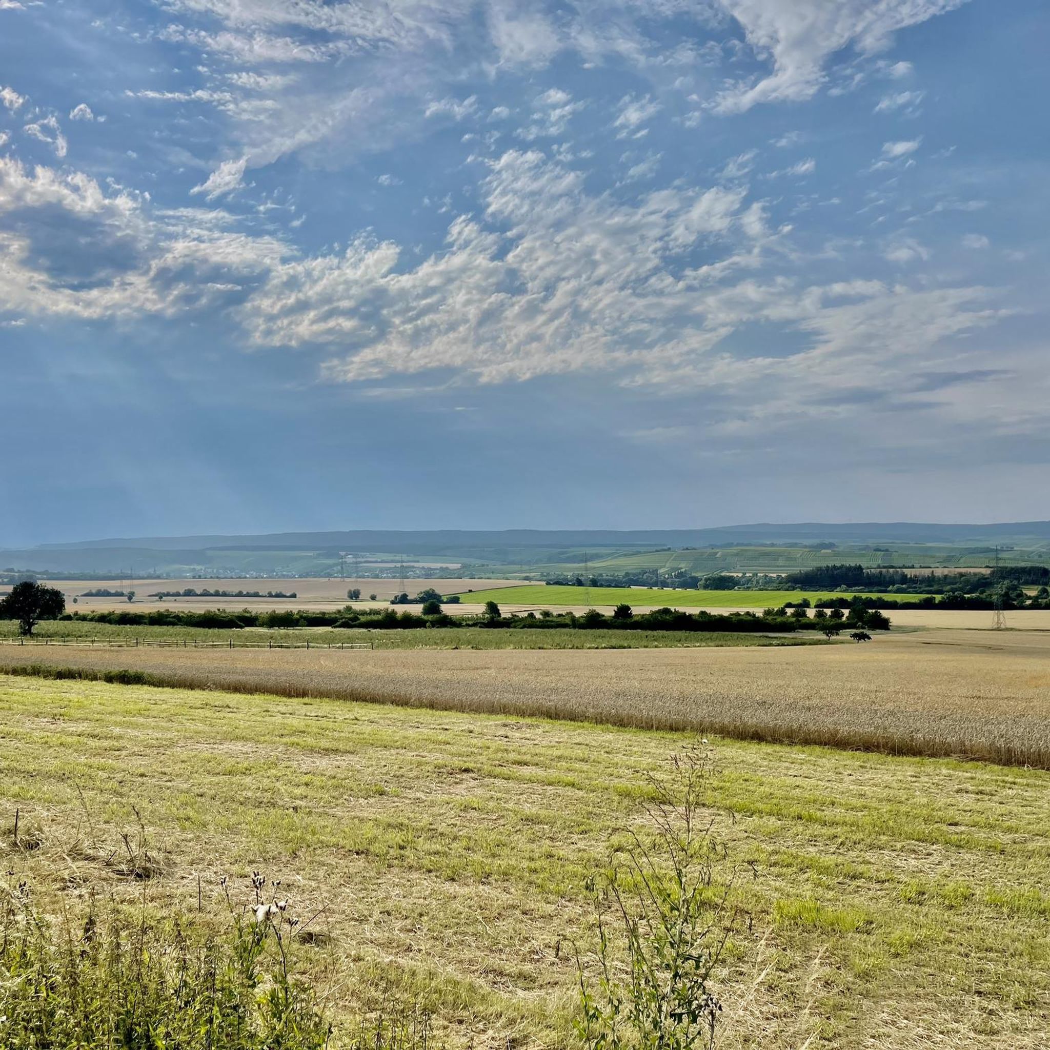
Jogging routes around Hüffelsheim traverse a diverse landscape, offering varied terrain for runners. The region is characterized by rolling hills, picturesque vineyards, and green forests. Located on a high plateau above the River Nahe and at the foot of the Soonwald, the area provides paths through open fields, along the Nahe River, and within the expansive Soonwald-Nahe Nature Park. This varied topography includes gentle vineyard trails and more challenging forest sections.
Best jogging routes around Hüffelsheim
- The most popular jogging…
Last updated: October 16, 2026
5.0
(1)
46
runners
15.2km
01:51
370m
370m
Hard run. Very good fitness required. Sure-footedness, sturdy shoes and alpine experience required.
4.3
(3)
23
runners
20.4km
02:11
180m
180m
Hard run. Very good fitness required. Mostly paved surfaces. Suitable for all skill levels.

4.8
(5)
27
runners
23.7km
03:04
720m
720m
Hard run. Very good fitness required. Sure-footedness, sturdy shoes and alpine experience required.
30
runners
Moderate run. Good fitness required. Mostly paved surfaces. Suitable for all skill levels.
4.5
(2)
29
runners
6.90km
00:44
60m
60m
Moderate run. Good fitness required. Mostly paved surfaces. Suitable for all skill levels.
Get access to more routes and recommendations from other explorers.
Already have an account?
Our route recommendations are based on thousands of hikes, rides, and runs completed by other people on komoot.
Start today with a free account
Your next adventure awaits.
Tips from the Community

The pedestrian bridge at the Kurhaus is for me one of the best starting points for tours around Bad Kreuznach. You can easily get started right at the Therme parking lot – whether on foot, by bike, or by mountain bike. From here, many beautiful trails lead into the Salinental and the surrounding heights. The modern bridge itself is a real eye-catcher and makes you want to go on the next discovery tour.
1
0

Cyclists dismount! Pedestrians stop
0
0

The Nahe is a left tributary of the Rhine, approximately 125 km long, in Saarland and Rhineland-Palatinate. It flows into the Rhine at Bingen am Rhein.
0
0

Absolutely recommended, always worth a trip.
0
0

On the Rotenfels plateau, a path runs directly along the edge of the cliff, offering spectacular views of the Nahe valley, Ebernburg and the Palatinate Forest while walking or hiking.
3
0

Beautiful view and cool trails to hike or run along! Highly recommended!
0
0
Magnificent views of Bad Münster am Stein-Ebernburg and the Nahe region. The rock is a nature reserve and home to a variety of rare plants and animals found only here in the region. The Rotenfels is simply ideal for running and hiking enthusiasts. One of the many trails leads directly along the entire edge of the mountain massif.
3
0
Six-arched stone bridge, built in 1889 by Prince Luitpold of Bavaria. The border between Prussia and Bavaria once ran here.
3
0
Frequently Asked Questions
What kind of terrain can I expect on running routes around Hüffelsheim?
The region around Hüffelsheim offers a diverse landscape for runners. You'll find paths through picturesque vineyards and rolling hills, along the scenic Nahe River, and within the expansive Soonwald-Nahe Nature Park. This varied topography includes gentle vineyard trails, open fields, and more challenging forest sections, sometimes with rocky subsoil.
Are there running routes suitable for beginners or families in Hüffelsheim?
Yes, Hüffelsheim offers a good selection of running routes suitable for various skill levels. Out of nearly 400 routes, 33 are classified as easy, making them ideal for beginners or families looking for a more relaxed run. These often traverse gentle paths through vineyards or along the Nahe River.
What are some notable natural features or landmarks I might see while jogging in the area?
Jogging around Hüffelsheim offers many scenic views. You can expect to see picturesque vineyards, the Nahe River valley, and expansive forests within the Soonwald-Nahe Nature Park. Notable landmarks include the impressive Rheingrafenstein Castle Ruins, which offer panoramic views, and the Rotenfels, considered the highest rock face between the Alps and Scandinavia. Some routes also pass by unique attractions like the Reindeer Alm.
What is the best time of year for running in Hüffelsheim?
The mild temperatures in spring and autumn make these seasons particularly pleasant for outdoor activities like jogging in Hüffelsheim. The changing colors of the vineyards in autumn are especially delightful.
Are there any long-distance running trails available?
Yes, for those seeking longer runs, Hüffelsheim has several options. For example, the Rotenfels Shelter – Rotenfels Viewpoint loop from Rüdesheim (Nahe) is a challenging 23.7 km route with significant elevation gain, perfect for a longer endurance run.
Can I bring my dog on the running trails around Hüffelsheim?
Generally, dogs are welcome on the running trails in the Hüffelsheim area, especially within the Soonwald-Nahe Nature Park. However, it's always advisable to keep your dog on a leash, particularly in nature reserves, near wildlife, or in agricultural areas, to ensure safety and respect for the local environment.
Are there any permits required for running in the Soonwald-Nahe Nature Park?
No, typically no special permits are required for recreational activities like jogging on the designated trails within the Soonwald-Nahe Nature Park or around Hüffelsheim. You are free to explore the natural beauty of the region.
What do other runners enjoy most about the routes in Hüffelsheim?
The running routes in Hüffelsheim are highly rated by the komoot community, with an average score of 4.4 stars from over 500 reviews. Runners often praise the varied terrain, the picturesque vineyards, and the stunning views of the Nahe River valley and surrounding landscapes.
Are there any running routes that offer views of castles or historical sites?
Absolutely. The region is rich in history and offers routes with scenic views of historical landmarks. The View of Rheingrafenstein Castle – Pouilly Bridge loop from Rüdesheim (Nahe) is a great example, offering direct views of the historic Rheingrafenstein Castle Ruins and the Nahe River valley.
Are there any urban running options or routes that pass through towns?
Yes, while many routes focus on natural landscapes, you can also find options that incorporate urban elements. The Kurpark Bad Kreuznach – Bridge Houses in Bad Kreuznach loop from Rüdesheim (Nahe) is a moderate 12.4 km trail that leads through urban parks and along the river in nearby Bad Kreuznach, offering a different running experience.
How many running routes are available around Hüffelsheim?
There are over 370 running routes available around Hüffelsheim, offering a wide variety of options for all fitness levels and preferences. This extensive network ensures you'll always find a new path to explore.
Are there any routes with significant elevation gain for a challenging workout?
Yes, if you're looking for a challenging workout, Hüffelsheim has several difficult routes with notable elevation gain. For instance, the Schmittenstollen Restaurant – Schmittenstollen loop from Niederhausen is a difficult 15.6 km trail featuring significant climbs through varied terrain.
Most popular routes around Hüffelsheim
Most popular attractions around Hüffelsheim

Get inspired with the komoot mobile app


Explore more
Browse the best Running Trails & Routes in other regions.
