The best walks and hikes around Rogliano
4.5
(1211)
8,173
hikers
46
hikes
Hiking around Rogliano offers access to the Savuto Valley's sweeping hills and the nearby Sila National Park, a UNESCO biosphere reserve. The region features mountainous terrain, deep valleys, and dense larch forests, providing diverse environments for outdoor activities. Within Sila National Park, prominent peaks and Lake Arvo contribute to the varied landscape. Rogliano itself is characterized by its historic center, blending cultural exploration with natural beauty.
Best hiking trails around Rogliano
- The most popular hiking route is Cap Corse Customs…
Last updated: October 10, 2026
4.7
(346)
1,794
hikers
9.42km
02:31
110m
110m
Hike the moderate 5.9-mile Cap Corse Customs Trail, gaining 350 feet in 2 hours 31 minutes, with coastal views and beaches.
4.9
(140)
1,112
hikers
Hard hike. Very good fitness required. Easily-accessible paths. Suitable for all skill levels.

4.8
(166)
1,123
hikers
Moderate hike. Good fitness required. Easily-accessible paths. Suitable for all skill levels.
4.8
(134)
1,108
hikers
Hard hike. Very good fitness required. Easily-accessible paths. Suitable for all skill levels.
4.7
(43)
304
hikers
6.87km
01:48
60m
50m
Easy hike. Great for any fitness level. Easily-accessible paths. Suitable for all skill levels.
Get access to more routes and recommendations from other explorers.
Already have an account?
Our route recommendations are based on thousands of hikes, rides, and runs completed by other people on komoot.
Start today with a free account
Your next adventure awaits.
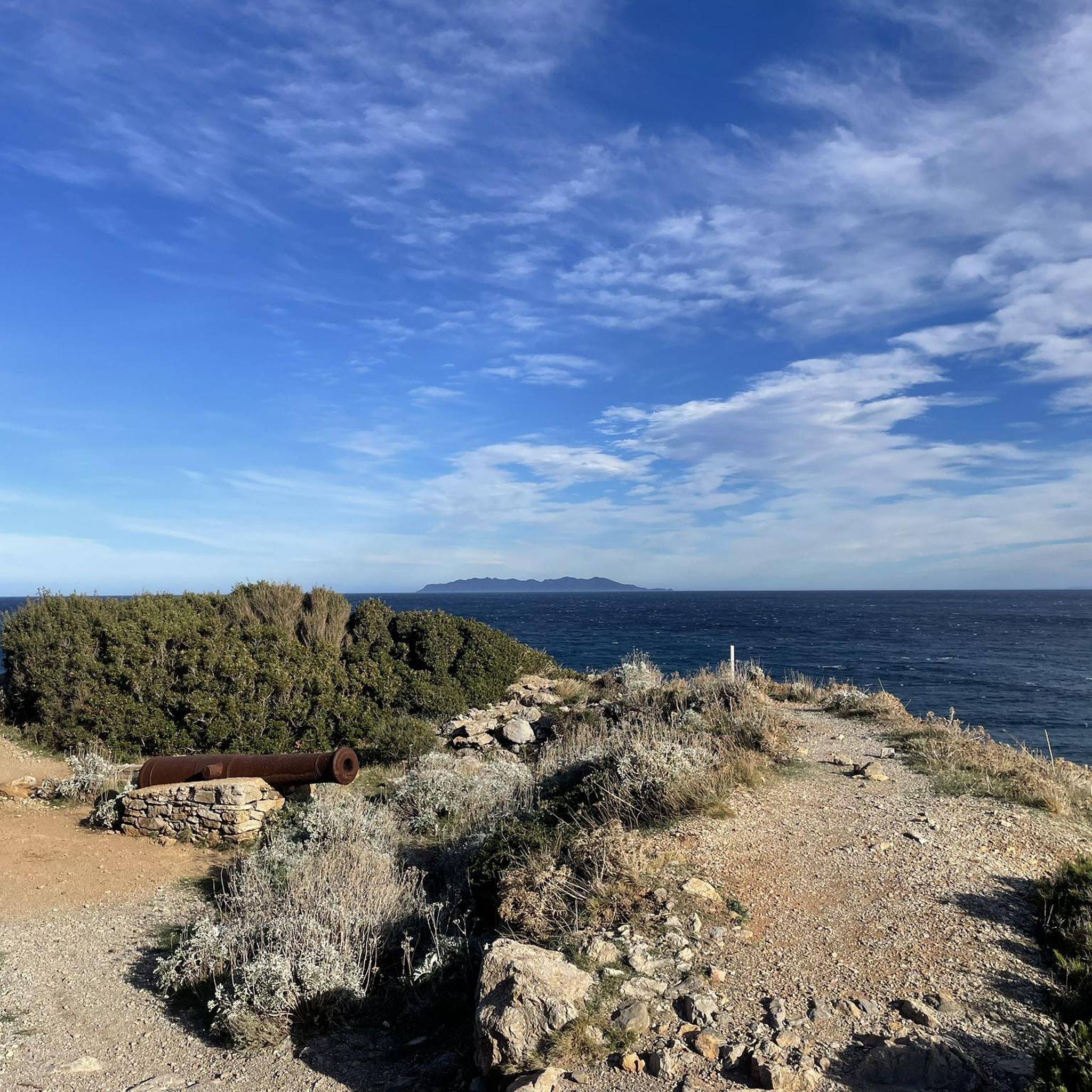
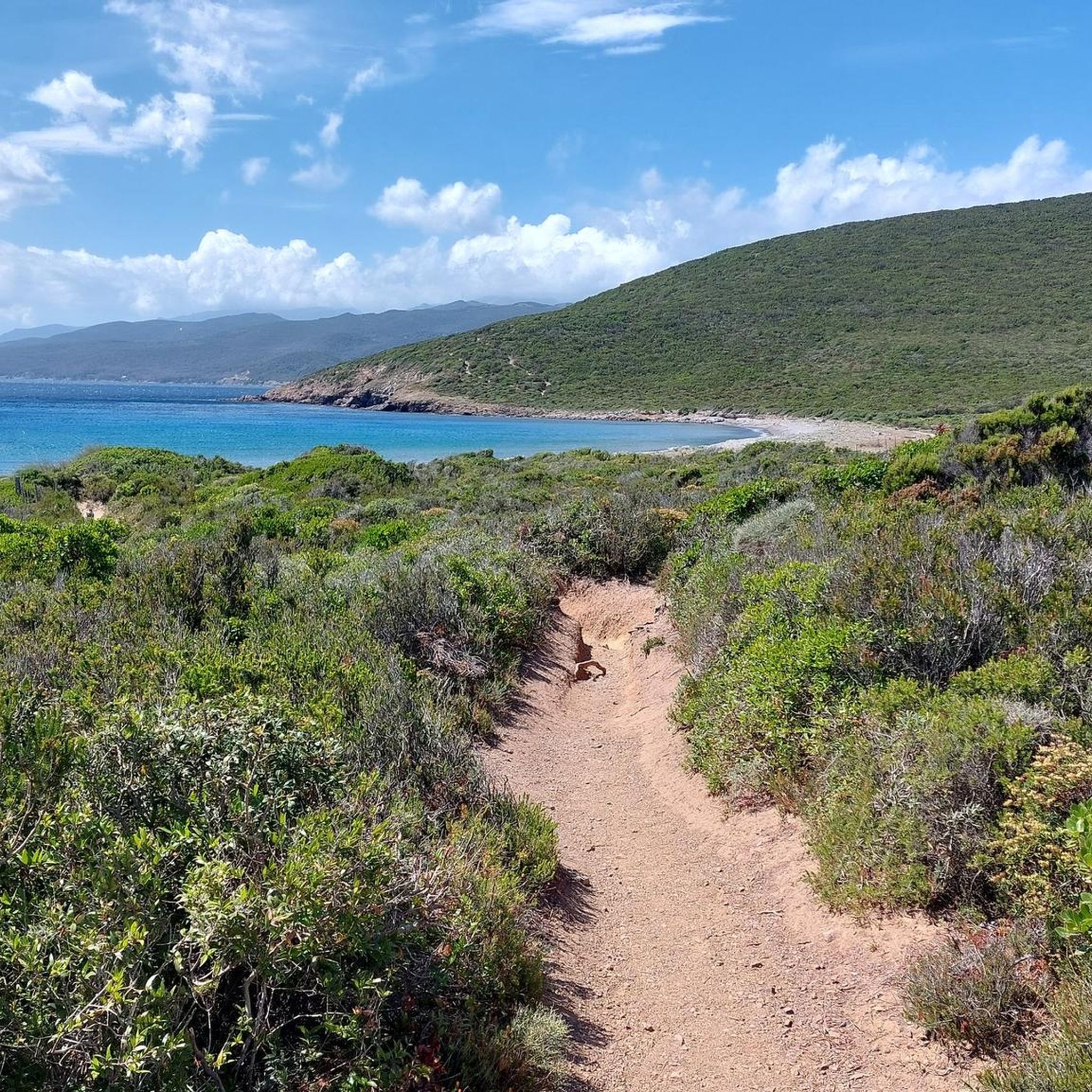
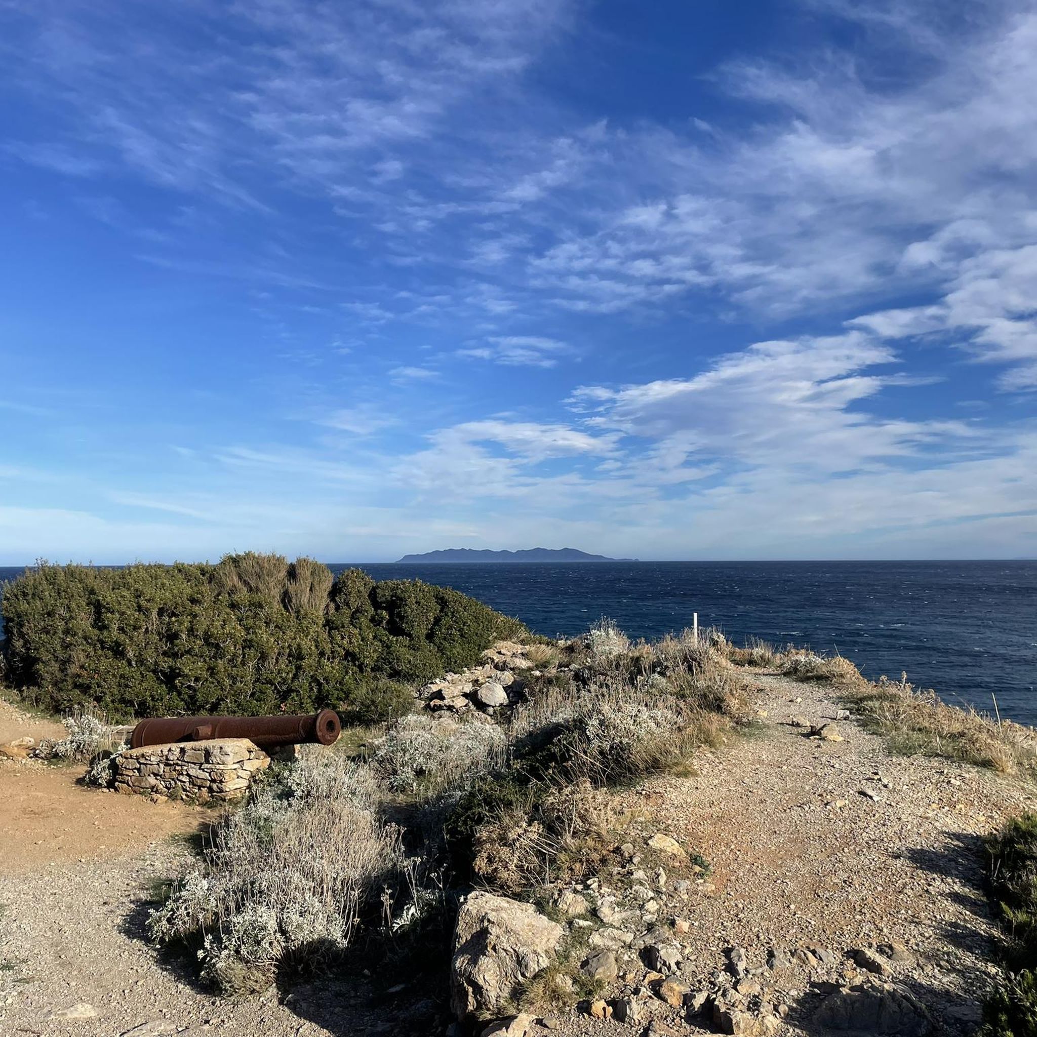
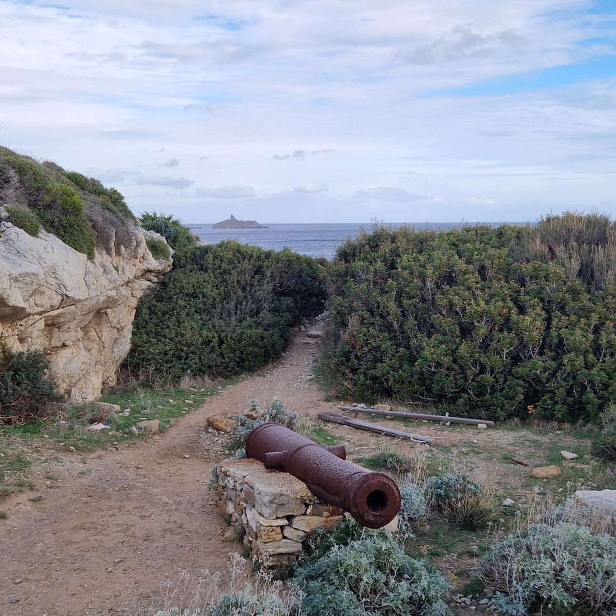
Tips from the Community

A very original tour that is worth the trip!
0
0


Well worth seeing. A half-collapsed tower.
0
0

Beautiful views all along the way. Sea, old watchtowers, small islands and a lighthouse line the cliffs.
0
2
Weathered watchtower with bathing bay.
0
2

From the 14th to the 18th century, the towers were built at a time when Berber invasions were numerous. Most of them are built on the coast, some in villages. There are a hundred of them throughout Corsica, a quarter of them in Cap Corse and ten in Rogliano. There are two types of towers: the round towers, which belonged to the municipality, were more difficult to build because they were more solid and tall (12 to 17 m) and ensured surveillance and defense of the sea and coasts. The squares, often built in the interior, except for the tower on the island of Giraglia, were the property of their owner and served as a refuge for the population.
2
0
The Genoese towers of FINOCCHIAROLA, SANTA MARIA, AGNELLO and the island of GIRAGLIA, these four towers, built in the mid-16th century on the instigation of the Republic of Genoa, form a strange arrangement and were part of the coastal protection system of the Community of Rogliano. Today these towers are protected and restored, and are an integral part of the architectural heritage of the island.
2
0
The beaches are very quiet but unkempt and natural.
0
0
Frequently Asked Questions
How many hiking trails are available around Rogliano?
There are over 45 hiking trails around Rogliano, offering a diverse range of experiences from easy strolls to challenging ascents through the mountainous terrain and dense forests of the Savuto Valley and Sila National Park.
Are there easy hiking trails suitable for beginners or families in Rogliano?
Yes, Rogliano offers a good selection of easy trails. With over 20 routes classified as easy, you can find gentle walks suitable for beginners or families. These trails often wind through nature, allowing for a relaxed experience amidst the region's natural beauty.
What about more challenging hikes for experienced trekkers?
For experienced trekkers, there are 5 difficult routes around Rogliano. These trails often feature significant elevation gain and provide panoramic views of the mountainous countryside. An example is the Tour de Santa Maria – Pointe d'Agnello Lighthouse loop from Tomino / Tuminu, which is a challenging 20 km path.
What kind of natural features can I expect to see on hikes around Rogliano?
Hiking around Rogliano immerses you in diverse natural features. You'll encounter sweeping hills, deep valleys, and dense larch forests, especially within the Sila National Park. Prominent peaks like Monte Botte Donato and Monte Cocuzzo offer stunning vistas, and you might even find trails leading to viewpoints overlooking Lake Arvo.
Are there any interesting landmarks or viewpoints along the trails?
Yes, the area boasts several interesting landmarks and viewpoints. You can find trails that lead past historical sites or offer scenic overlooks. For example, you might encounter the Mattei Windmill or enjoy the View of Giraglia Island and Lighthouse. Rogliano itself is known for its historic center and ancient architecture.
Can I find circular hiking routes in the Rogliano area?
Yes, there are several circular hiking routes available. These loops allow you to start and end your hike in the same location, offering convenience. An example is the Tour de Santa Maria – Genoese Tower of Santa Maria loop from Macinaggio / Macinaghju, which takes you through coastal landscapes and past historical landmarks.
What is the best season for hiking around Rogliano?
The best season for hiking around Rogliano generally spans from spring to autumn. The cooler climate of the Sila National Park makes it pleasant during warmer months, while spring and early autumn offer vibrant landscapes and comfortable temperatures for exploring the region's diverse trails.
Is it possible to access hiking trails around Rogliano using public transport?
While specific public transport links directly to trailheads can vary, Rogliano's strategic location means some areas, particularly those closer to the village or within the Sila National Park, might be accessible. It's advisable to check local bus schedules for connections to key starting points or consider a combination of public transport and short taxi rides.
Are there designated parking areas for hikers near the trailheads?
Many popular trailheads, especially those leading into Sila National Park or near significant attractions, typically offer designated parking areas. For routes starting directly from Rogliano, parking can often be found within the village or at nearby access points. Always check specific route details for recommended parking locations.
What do other hikers enjoy the most about hiking in Rogliano?
The komoot community highly rates hiking in Rogliano, with an average score of 4.5 stars from over 900 reviews. Hikers frequently praise the region's varied terrain, from coastal paths to mountainous ascents, and the opportunity to immerse themselves in the tranquility of nature and the rich vegetation of places like the Sila National Park.
Are there any long-distance hiking trails in the Rogliano region?
While Rogliano is a gateway to the Sila National Park, which features extensive trail networks, specific long-distance trails directly originating from Rogliano might require linking multiple routes. The park itself offers opportunities for multi-day treks through its diverse landscapes, reminiscent of the Alps.
Can I bring my dog on the hiking trails around Rogliano?
Generally, dogs are welcome on many hiking trails in the Rogliano area, especially on nature trails outside of strictly protected zones. However, within Sila National Park, specific regulations may apply regarding dogs, particularly in wildlife-sensitive areas. It's always best to keep dogs on a leash and ensure you clean up after them.
Most popular attractions around Rogliano

Get inspired with the komoot mobile app


Explore more
Browse the best Hikes in other regions.
