The best running trails around Cause-De-Clérans
4.5
(29)
1,530
runners
151
runs
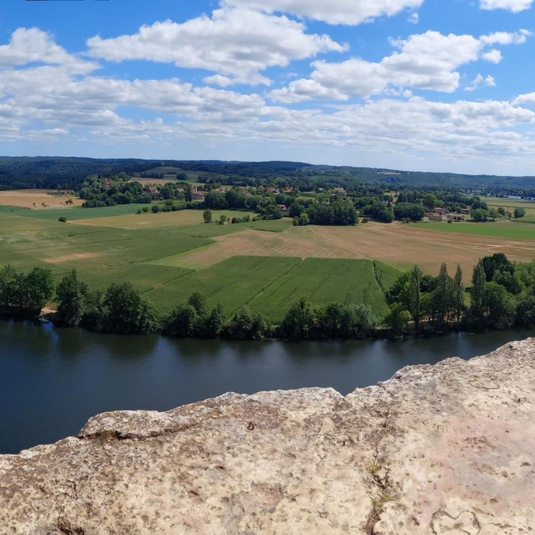
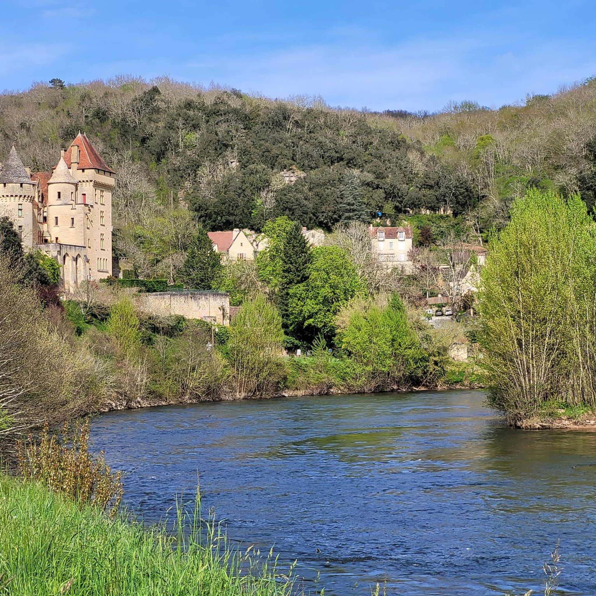
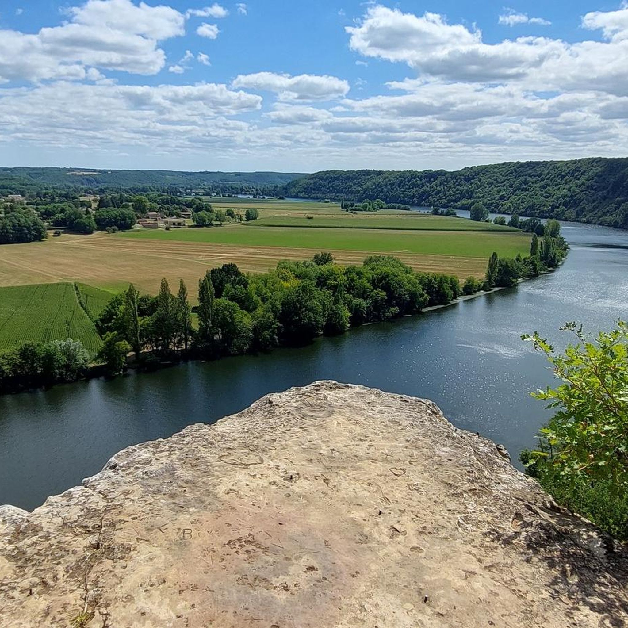
Jogging around Cause-De-Clérans offers diverse landscapes for runners. The region, situated on the northern edge of the Aquitaine Basin, features a mosaic of forests, meadows, and mixed agriculture. Elevations range from 47 meters to 156 meters, providing routes with gentle inclines and descents. The area is also part of the Dordogne basin, contributing to its varied natural environment.
Best jogging routes around Cause-De-Clérans
- The most popular jogging route is Trail du barrage de Tuilières - loop, a 10.6 miles…
Last updated: June 29, 2026
4.0
(1)
1
runners
17.0km
01:59
190m
190m
Hard run. Very good fitness required. Mostly accessible paths. Some sure footedness required.
30
runners
Moderate run. Good fitness required. Mostly paved surfaces. Suitable for all skill levels.

Sign up for free
5.0
(1)
29
runners
7.34km
00:46
20m
20m
Moderate run. Good fitness required. Mostly paved surfaces. Suitable for all skill levels.
6
runners
10.1km
01:04
110m
110m
Moderate run. Good fitness required. Mostly paved surfaces. Suitable for all skill levels.
6
runners
8.53km
00:59
140m
140m
Moderate run. Good fitness required. Mostly paved surfaces. Suitable for all skill levels.
Get access to more routes and recommendations from other explorers.
Sign up for free
Already have an account?
Our route recommendations are based on thousands of hikes, rides, and runs completed by other people on komoot.
Start today with a free account
Your next adventure awaits.
Login or Signup

Tips from the Community

Good cycle path along the canal. Good to ride on.
0
0

Superb track to reach Lalinde. Quiet place, even in summer!
2
0
Built in concrete from June 1905 to December 1908 by the engineer Albert Claveille, it is 105 meters long and houses a hydroelectric plant2. Its commissioning in 1909 made it possible at the time to supply electricity not only to Bergerac and Périgueux, but also to Bordeaux and Angoulême.
1
0

Very pretty series of locks downstream of the Tuilières dam, visitable on foot accessible by greenway.
5
0

This is a salmon lift, allowing them to avoid being stopped by the EDF dam.
4
0

Frequently Asked Questions
How many running routes are available around Cause-de-Clérans?
There are over 130 running routes around Cause-de-Clérans, offering a wide range of options for different fitness levels and preferences. You'll find everything from easy strolls to more challenging runs through varied terrain.
What kind of landscapes will I encounter on the running trails?
The running trails in Cause-de-Clérans offer a diverse and picturesque experience. You'll jog through a beautiful mosaic of forests, meadows, and mixed agricultural land. The region is characterized by varied terrain and elevations, ranging from 47 to 156 meters, providing routes with both gentle inclines and descents.
Are there any easy or moderate running routes for casual joggers?
Yes, Cause-de-Clérans has plenty of options for casual joggers. There are 5 easy routes and nearly 100 moderate routes available. A popular moderate option is the Rue des Écluses – V91 jolie voie verte loop from Saint-Capraise-de-Lalinde, which offers pleasant riverside views along a scenic greenway.
Can I find running routes that pass by historical landmarks?
Absolutely! The region is rich in history. Many routes allow you to combine your run with cultural exploration. You can pass by sites like the Église Saint-Pierre-ès-Liens (or Notre-Dame-de-l'Assomption), a Romanesque church, or the ruins of the medieval Château de Clérans. The Bridge to the village – Ruins of the Old Paper Mill loop from Couze is a great example, leading through historical landmarks and wooded paths.
What do other runners enjoy most about the trails in Cause-de-Clérans?
The running routes in Cause-de-Clérans are highly rated by the komoot community, with an average score of 4.4 stars from over 20 reviews. Runners often praise the varied terrain, the tranquility of the French countryside, and the opportunity to explore both natural beauty and historical sites.
Are there any longer or more challenging running routes?
Yes, for those seeking a greater challenge, there are 32 difficult routes available. One of the most popular longer routes is the Trail du barrage de Tuilières - loop, which is 17.0 km long and features varied terrain, passing by the Tuilières dam.
Are there any circular running routes available?
Yes, many of the running routes around Cause-de-Clérans are circular, making them convenient for starting and ending at the same point. For example, the Bridge to the village loop from Couze offers a moderate 6.6 km circular path.
What are some interesting natural attractions or viewpoints I can see while running?
While running, you can discover several natural attractions. The region is part of the Dordogne basin, offering lush landscapes. You might encounter highlights like the Trémolat Meander or the Mauzac Port. The V91 jolie voie verte also provides scenic views along its path.
Are there running routes that are suitable for families?
While specific 'family-friendly' designations aren't always explicit, many of the easy and moderate routes, especially those on flatter terrain or greenways, would be suitable for families. Look for routes with lower elevation gain and shorter distances, such as the Rue des Écluses – V91 jolie voie verte loop, which offers a pleasant and accessible experience.
Can I find running routes that include water features?
Yes, being situated within the Dordogne basin, the area features smaller rivers and streams. The Trail du barrage de Tuilières - loop passes by the Tuilières dam, offering views of this significant water feature. Other routes along the V91 greenway also provide riverside scenery.
Are there any routes that explore the old paper mill area?
Yes, the area has historical connections to paper mills. The Bridge to the village – Ruins of the Old Paper Mill loop from Couze specifically takes you through paths near the ruins of an old paper mill, offering a unique historical context to your run.
What is the best time of year for running in Cause-de-Clérans?
The varied landscapes of Cause-de-Clérans, with its forests and meadows, make it enjoyable for running across multiple seasons. Spring and autumn offer pleasant temperatures and beautiful scenery, with vibrant colors. Summer can be warm, so early morning or late afternoon runs are recommended. Winter runs are also possible, with the quiet charm of the off-season.
Are there any routes that offer significant elevation changes for a more intense workout?
Yes, the region's elevation varies from 47 meters to 156 meters, providing opportunities for routes with more significant inclines and descents. Many of the 32 difficult routes will offer a more intense workout. For example, the Ancienne papeterie de Couze loop from Couze has an elevation gain of over 200 meters, providing a good challenge.
Most popular routes around Cause-De-Clérans
Most popular attractions around Cause-De-Clérans

Get inspired with the komoot mobile app


Explore more
Browse the best Running Trails & Routes in other regions.
