The best walks and hikes around Afiesl
4.6
(2747)
13,711
hikers
25
hikes
Hiking around Afiesl offers diverse landscapes within the Mühlviertler Hochland, characterized by rolling hills, dense forests, and open meadows. The region is situated between the Böhmerwald and the Sauwald, providing an extensive network of hiking trails. Valleys and higher elevations offer varied terrain, with some viewpoints extending towards the distant Northern Limestone Alps on clear days.
Best hiking trails around Afiesl
- The most popular hiking route is Nordwaldkammweg Marked Trail – Stefans Platzerl loop from Afiesl Oberafiesl, a 7.9…
Last updated: October 14, 2026
4.6
(17)
111
hikers
Moderate hike. Good fitness required. Easily-accessible paths. Suitable for all skill levels.
4.5
(14)
75
hikers
14.7km
04:09
310m
310m
Moderate hike. Good fitness required. Easily-accessible paths. Suitable for all skill levels.

5.0
(4)
32
hikers
Moderate hike. Good fitness required. Easily-accessible paths. Suitable for all skill levels.
5.0
(14)
48
hikers
Hard hike. Very good fitness required. Easily-accessible paths. Suitable for all skill levels.
4.5
(11)
79
hikers
Easy hike. Great for any fitness level. Easily-accessible paths. Suitable for all skill levels.
Get access to more routes and recommendations from other explorers.
Already have an account?
Our route recommendations are based on thousands of hikes, rides, and runs completed by other people on komoot.
Start today with a free account
Your next adventure awaits.
Tips from the Community

The resting place is located in the immediate vicinity of the former settlement of Multenberg.
0
0
Everything is presented very interestingly with the information boards. Amazing how quickly nature has let everything grow back here.
0
0
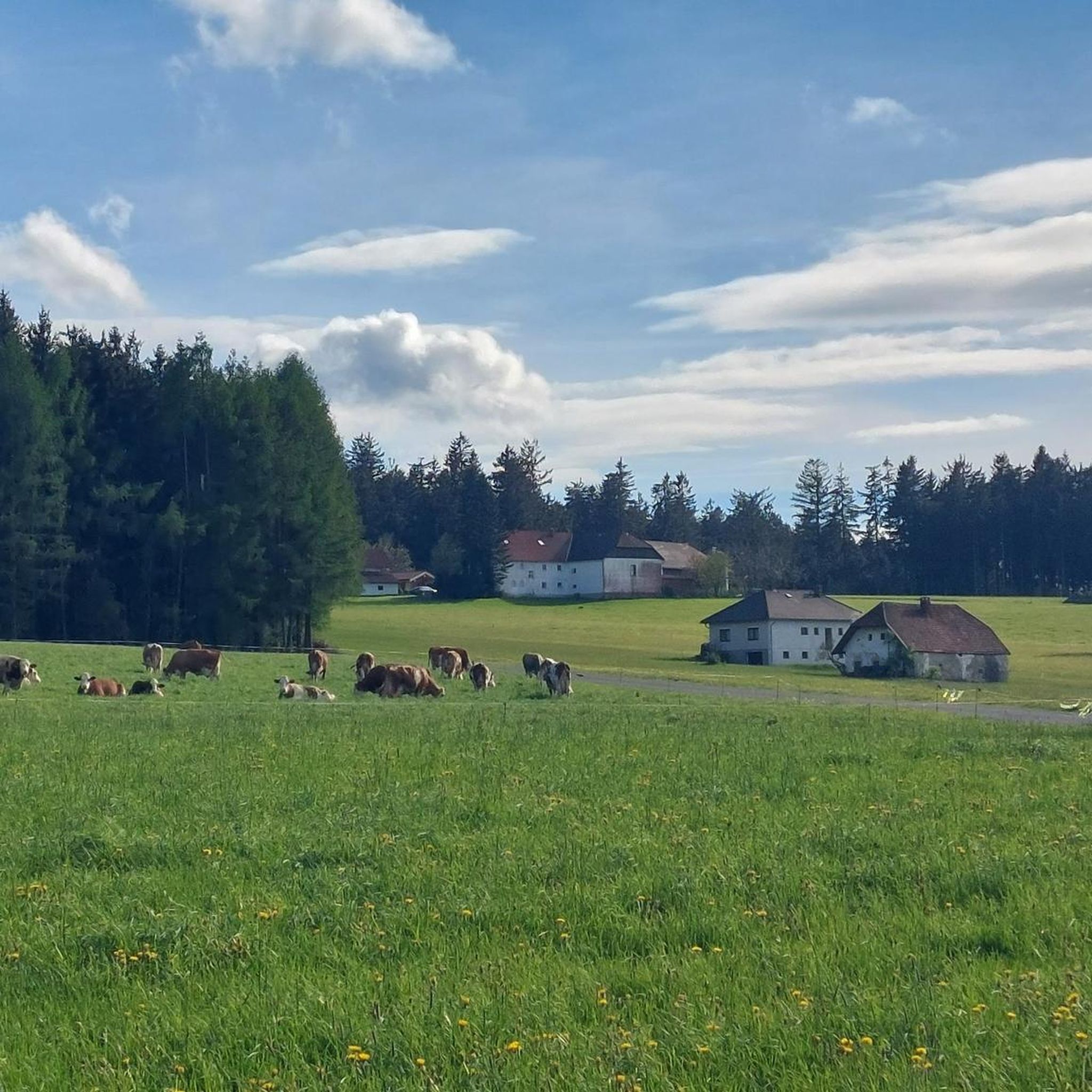
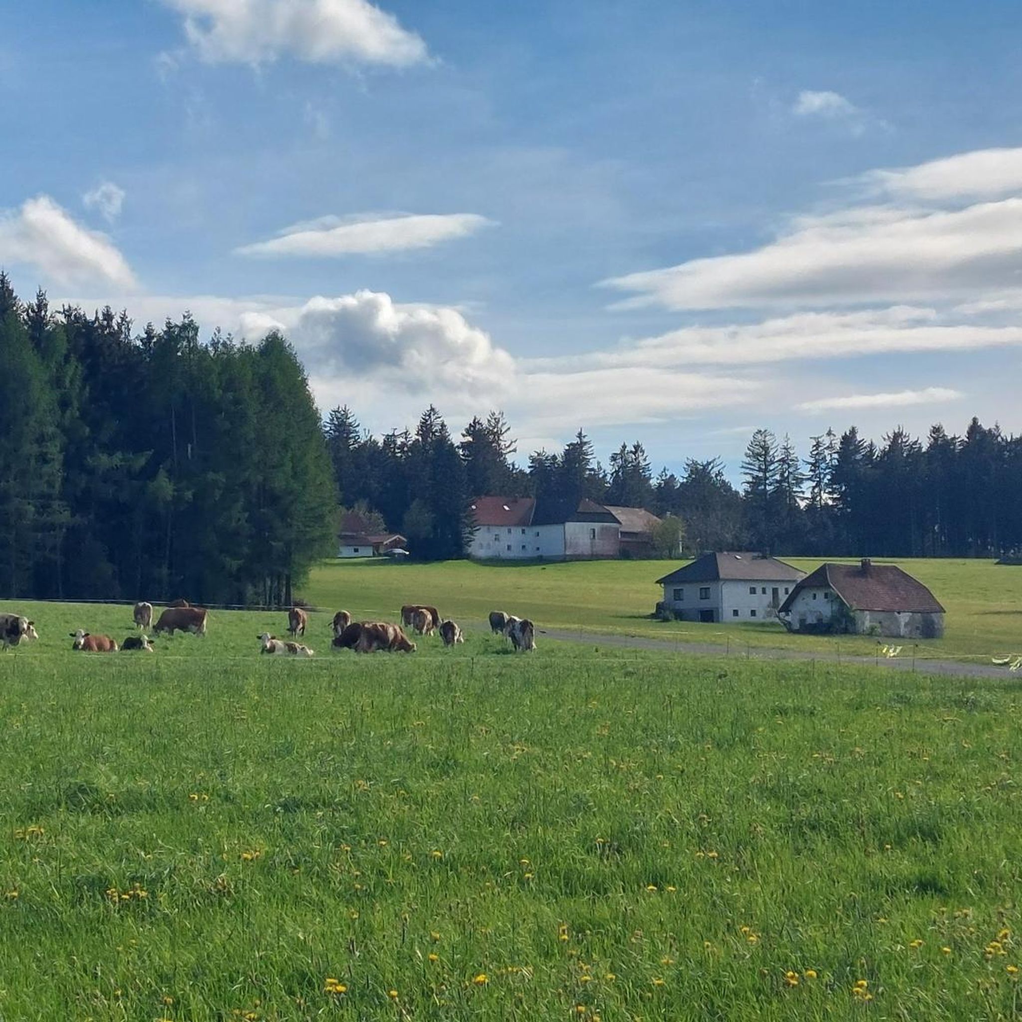
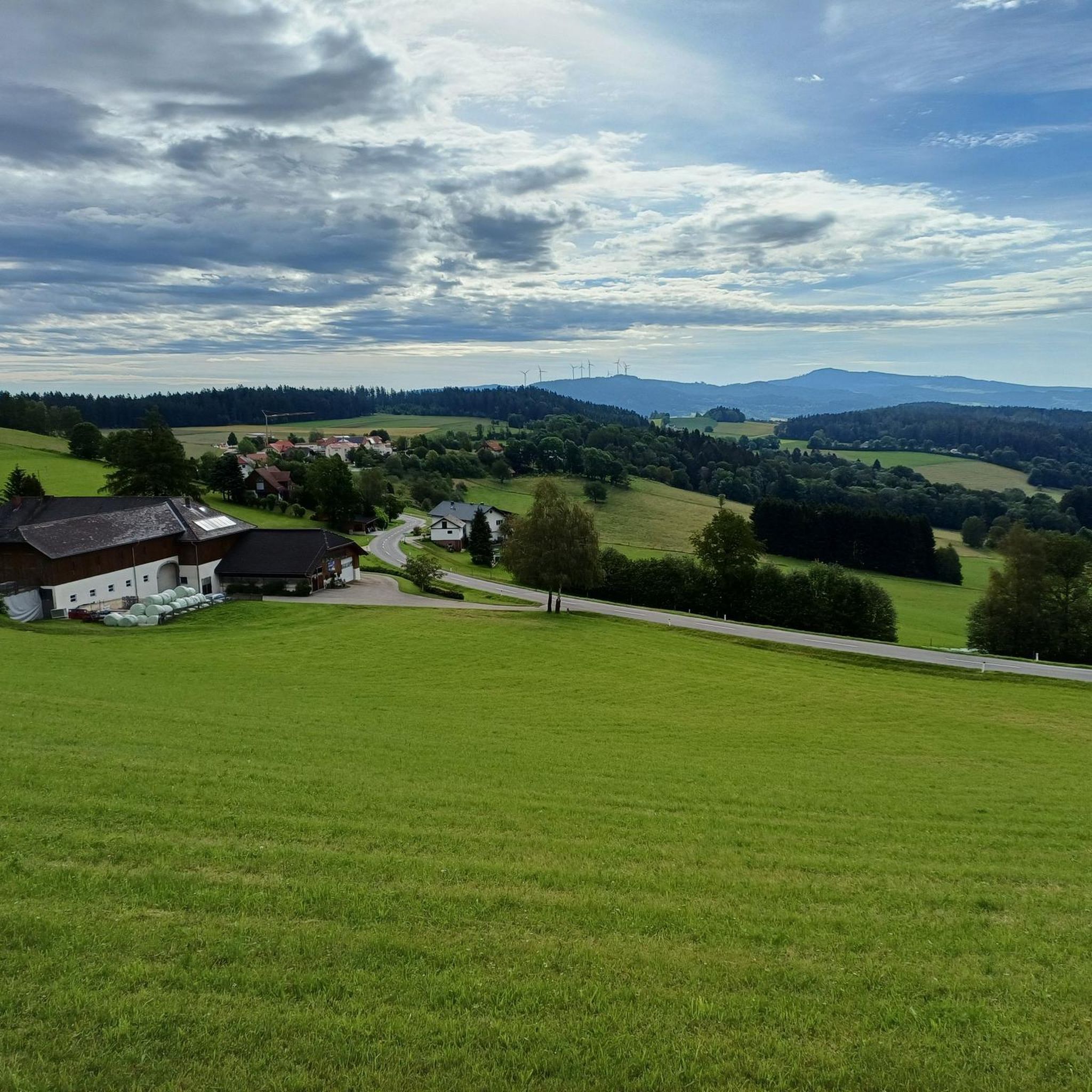
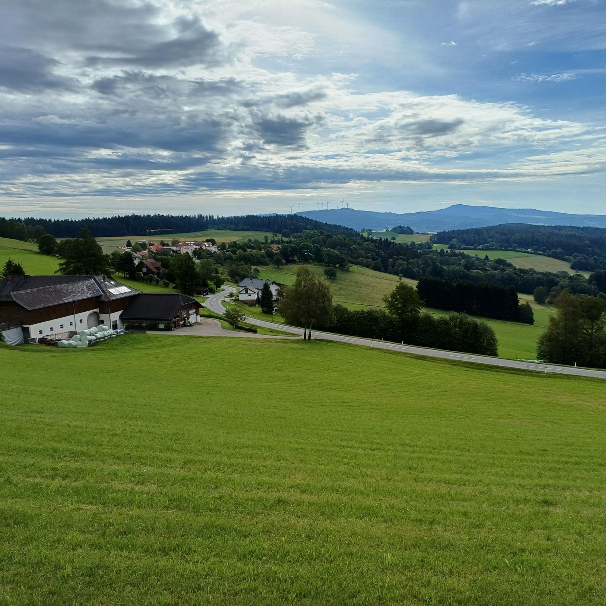
Strictly speaking, one is looking here towards the Czech Republic, into the Bohemian Forest. But it is always "Mühlviertel-like" here. :-)
0
0

„You will find more in the woods than in books,” Saint Bernard of Clairvaux (1090 to 1153) wrote in our diary in the 12th century. His reasoning for this: “The trees and the stones will teach you what no man will tell you.”
0
0


Excellent cuisine and I can only recommend this inn.
1
0

Animal tracks can be seen on concrete here
0
0

Although this place is not directly on the hiking trail that runs past (Nordwalkammweg and Kraft-Quelle-Baum-Weg), it is still worth a detour. A lovely resting place with a great view!
4
0
Frequently Asked Questions
What kind of landscapes can I expect while hiking in Afiesl?
Afiesl is nestled between the picturesque Böhmerwald (Bohemian Forest) and the Sauwald, offering diverse landscapes. You'll find extensive networks of trails through pristine natural settings, rolling hills, dense forests, and open meadows of the Mühlviertler Hochland. Some viewpoints even offer glimpses of the distant Northern Limestone Alps on clear days.
How many hiking trails are available in Afiesl, and what are their difficulty levels?
There are over 20 hiking routes around Afiesl, catering to various fitness levels. You'll find a good mix of easy, moderate, and challenging trails. Specifically, there are 11 easy routes, 12 moderate routes, and 2 difficult routes to explore.
Are there any family-friendly hiking options in Afiesl?
Yes, Afiesl offers several easy routes suitable for families. For instance, the Helfenberger Hut – Hotel AVIVA & Panoramic View loop from Afiesl Oberafiesl is an easy 6.5 km (4 miles) trail that takes around 2 hours to complete, providing a pleasant experience for all ages.
What are some notable viewpoints or landmarks I can discover on a hike in Afiesl?
Hikers can enjoy several significant landmarks and viewpoints. The Sternstein Observation Tower offers panoramic views of the Böhmerland. You might also encounter historical sites like the Haichenbach Ruin or the Wittinghausen Castle Ruins. The nearby Lipno Reservoir also provides stunning scenic vistas, and the Bayrische Au Boardwalk offers an adventure through a significant natural heritage site.
Are there circular hiking routes available in Afiesl?
Yes, many of the hiking trails in Afiesl are circular routes, designed to start and end at the same point. This allows for convenient planning and exploration. An example is the Nordwaldkammweg Marked Trail – Hotel AVIVA & Panoramic View loop from Afiesl Oberafiesl, a moderate 7.6 km (4.7 miles) trail.
What do other hikers say about the trails in Afiesl?
The routes in Afiesl are highly rated by the komoot community, with an average score of 4.5 stars from over 700 reviews. Hikers often praise the varied terrain, the peaceful natural settings, and the well-maintained paths that offer a mix of forest, meadow, and hill landscapes.
Is Afiesl a good destination for longer, more challenging hikes?
Absolutely. For those seeking a longer and more challenging experience, Afiesl offers routes like the Stefans Platzerl – Hotel AVIVA & Panoramic View loop from Köckendorf. This difficult 18 km (11.2 miles) trail provides a substantial workout and takes approximately 5 hours to complete.
Are there opportunities for refreshments along the hiking trails in Afiesl?
Yes, along many of the routes in Afiesl, you will find ample opportunities for refreshments. The region is known for its hospitality, and many trails pass by local inns or huts where you can take a break and enjoy local cuisine.
What is the best time of year to go hiking in Afiesl?
Afiesl is beautiful throughout the warmer months, from spring to autumn, when the landscapes are vibrant and the trails are easily accessible. While some winter hiking trails exist, it's important to note that certain attractions, like the Sternstein Observation Tower, are closed from November to March for safety reasons.
Can I see the Lipno Reservoir from the hiking trails in Afiesl?
While the Lipno Reservoir is located across the border in the Czech Republic, it is a prominent feature of the wider region. Some viewpoints in Afiesl may offer distant views, and the Lipno Treetop Walkway provides astonishing views of the reservoir and surrounding mountains, though it requires a short trip into the Czech Republic.
Is public transport available to reach hiking trailheads in Afiesl?
Information on specific public transport connections directly to all trailheads can vary. It is generally recommended to check local bus schedules or regional transport options for the Afiesl area. Many trails are accessible by car, with parking often available near starting points.
Most popular attractions around Afiesl

Get inspired with the komoot mobile app


Explore more
Browse the best Hikes in other regions.
