The best running trails around Poggio-D'Oletta
4.3
(144)
9,376
runners
229
runs
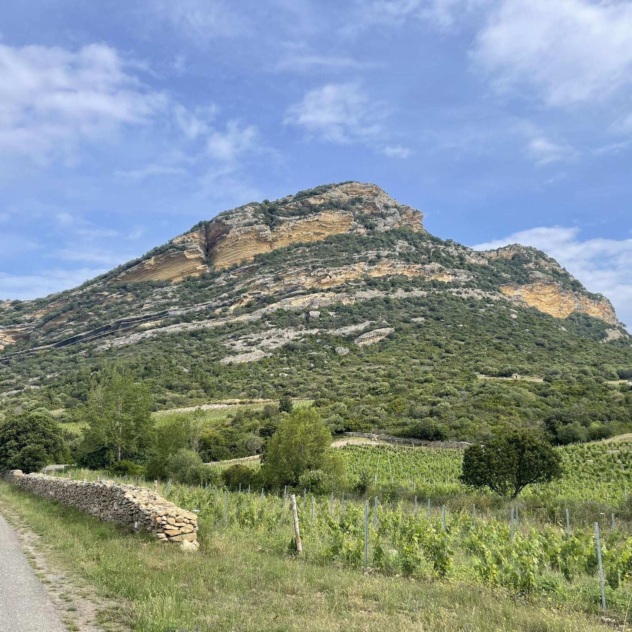
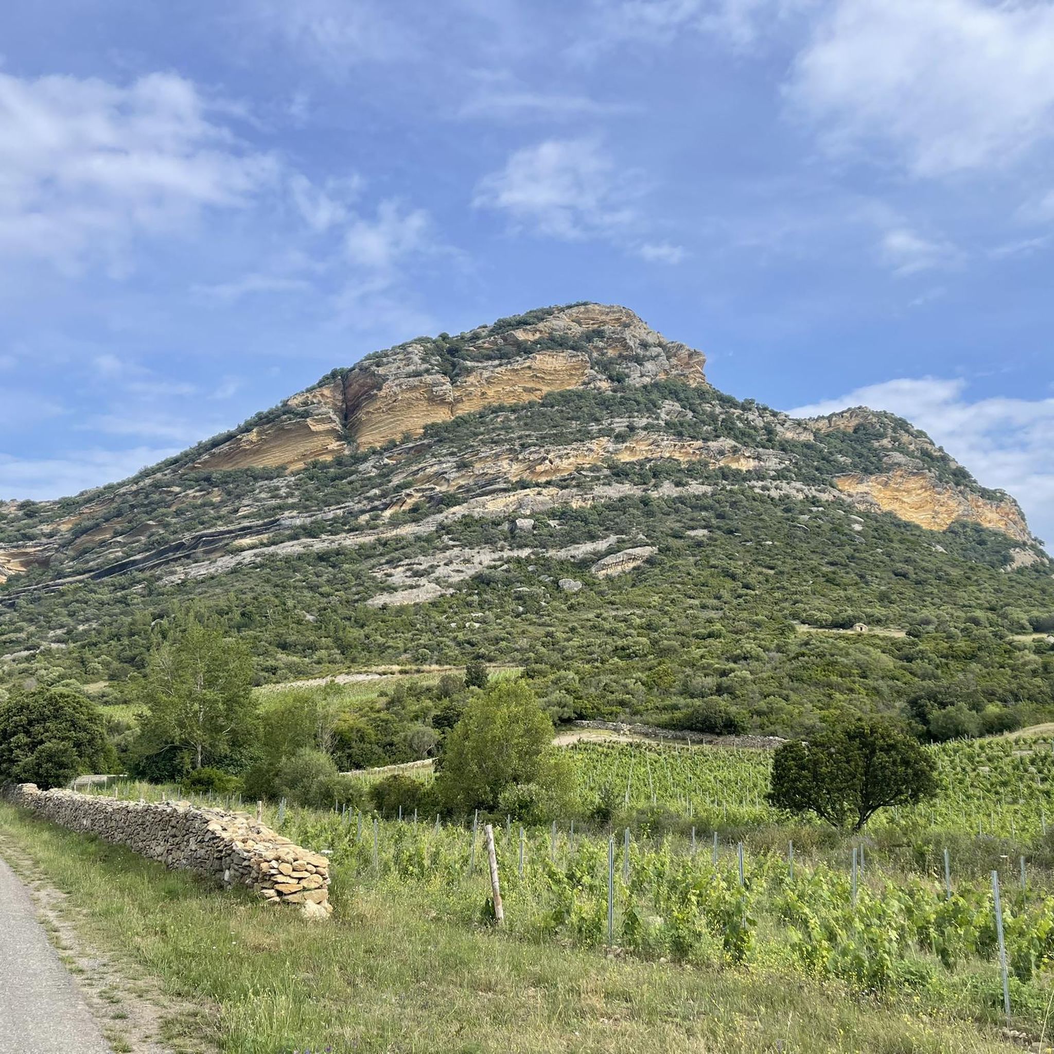
Jogging routes around Poggio-D'Oletta offer a diverse range of landscapes for outdoor enthusiasts. The region is characterized by varied terrain, including low mountains and hills, with elevations rising to nearly 900 meters. Extensive vineyards in the plain contribute to scenic running routes, while the Mediterranean coast is approximately 6 km away, providing potential for coastal views. This unspoilt natural environment on the eastern flank of the Nebbiu balcony offers both gentle paths and more challenging runs.
Best jogging routes around…
Last updated: October 8, 2026
5.0
(3)
48
runners
8.26km
00:57
120m
120m
Moderate run. Good fitness required. Mostly paved surfaces. Suitable for all skill levels.
41
runners
17.2km
02:25
620m
620m
Hard run. Very good fitness required. Mostly paved surfaces. Suitable for all skill levels.

4.3
(3)
13
runners
11.3km
01:22
210m
210m
Moderate run. Good fitness required. Mostly paved surfaces. Suitable for all skill levels.
11
runners
16.2km
01:48
200m
200m
Hard run. Very good fitness required. Mostly paved surfaces. Suitable for all skill levels.
13
runners
16.6km
02:24
800m
800m
Hard run. Very good fitness required. Mostly paved surfaces. Suitable for all skill levels.
Get access to more routes and recommendations from other explorers.
Already have an account?
Our route recommendations are based on thousands of hikes, rides, and runs completed by other people on komoot.
Start today with a free account
Your next adventure awaits.

Tips from the Community


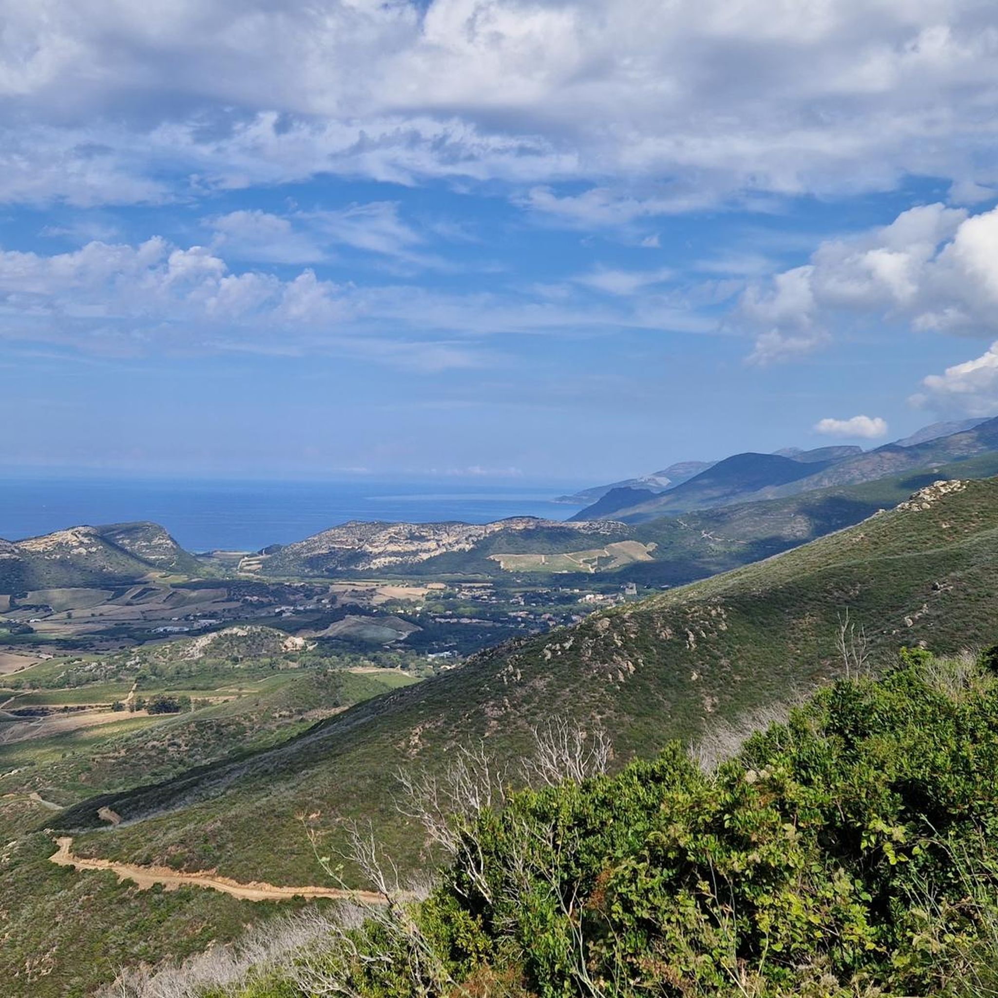
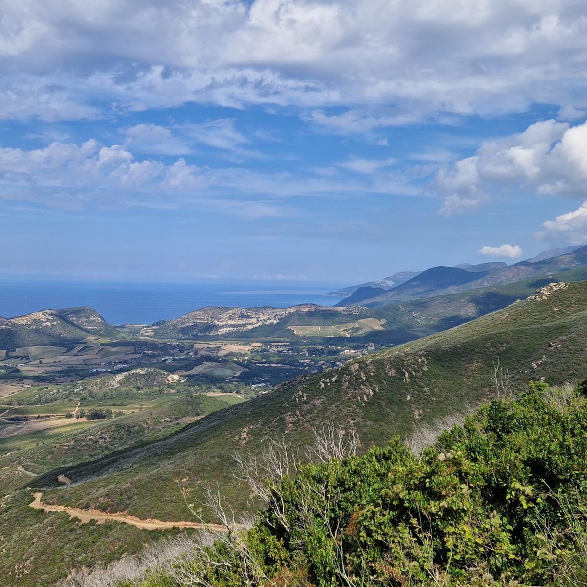
Nebbio is a natural region of Haute-Corse, it is bounded to the north by the Gulf of Saint-Florent, and the rest by a mountain ridge. From this balcony road, you have a view that extends over this magnificent area.
0
1
Frequently Asked Questions
How many running routes are available around Poggio-D'Oletta?
There are over 200 running routes in the Poggio-D'Oletta area, offering a wide variety of options for all fitness levels. These include 16 easy routes, 98 moderate routes, and 106 difficult routes.
What kind of terrain can I expect on the jogging trails in Poggio-D'Oletta?
The Poggio-D'Oletta region offers a diverse mix of terrains. You'll find scenic routes winding through extensive vineyards, as well as more challenging paths in low mountains and hills. Some routes may also offer views towards the Mediterranean coast, which is about 6 km away.
Are there any easy or beginner-friendly jogging routes in Poggio-D'Oletta?
Yes, Poggio-D'Oletta offers 16 easy running routes suitable for beginners or those looking for a more relaxed jog. These routes typically feature less elevation gain and more gentle paths.
Can I find circular running routes in the area?
Many of the running routes around Poggio-D'Oletta are circular, allowing you to start and finish at the same point. For example, the popular Vineyards loop from Monte Sant'Angelo is a moderate 5.1-mile (8.3 km) loop that takes about 57 minutes to complete.
What do other runners enjoy most about jogging in Poggio-D'Oletta?
The running routes in Poggio-D'Oletta are highly rated by the komoot community, with an average score of 4.3 stars from over 79 reviews. Runners often praise the varied landscapes, from picturesque vineyards to challenging mountain trails, and the rewarding views.
Are there any challenging running trails for experienced runners?
Absolutely. For experienced runners seeking a challenge, there are 106 difficult routes available. A notable option is the View of Le Nebbio – Zuccarello Peak loop from Oletta, a difficult 10.3-mile (16.6 km) route with significant elevation gain, offering stunning panoramic views.
Are there any interesting landmarks or attractions I can see along the running routes?
Yes, Poggio-D'Oletta is surrounded by natural beauty and historical sites. You might encounter the charming Lake Padula, located about 3.2 km from Poggio-D'Oletta, which is a great spot for a scenic jog. Other nearby attractions include the Eglise Saint-Michel de Murato and the Eglise de Santa Maria Assunta in Saint-Florent, which can be incorporated into longer exploration runs.
What is the best time of year to go running in Poggio-D'Oletta?
Poggio-D'Oletta offers pleasant running conditions for much of the year. Spring and autumn generally provide mild temperatures, ideal for outdoor activities. Even in winter, the climate can be suitable, though it's always wise to check local weather forecasts.
Are there any running routes that offer views of the sea?
While Poggio-D'Oletta is inland, its proximity to the Mediterranean coast (approximately 6 km away) means that some routes, particularly those with higher elevation, may offer glimpses or panoramic views of the sea. The region's landscape is characterized by low mountains and hills, providing opportunities for rewarding vistas.
Can I find running routes that pass through the famous Patrimonio vineyards?
Yes, Poggio-D'Oletta is situated within the Patrimonio AOC wine-producing area. Many routes, such as the Vineyards loop from Monte Sant'Angelo, specifically traverse these beautiful vineyards, offering a unique and picturesque running experience.
Are there any longer distance running options for endurance training?
For those looking for longer runs, routes like the Teghime Pass loop from Barbaggio offer significant distances and elevation. This difficult route spans 13.9 miles (22.4 km) and involves substantial climbing, making it ideal for endurance training.
Most popular routes around Poggio-D'Oletta
Most popular attractions around Poggio-D'Oletta

Get inspired with the komoot mobile app


Explore more
Browse the best Running Trails & Routes in other regions.
