The best running trails around Trimbs
4.2
(593)
10,087
runners
388
runs
Jogging routes around Trimbs offer diverse and scenic landscapes within the Mayen-Koblenz region. The area is characterized by rolling hills, lush nature, and the tranquil Nette River valley. Joggers can experience varied terrain, including soft footpaths, narrow trails, and sections along slate cliffs. This provides a dynamic running experience across different elevations.
Best jogging routes around Trimbs
- The most popular jogging route is Ehem. Schiefergruben loop from Trimbs, a 4.8 miles (7.8 km) trail that takes about 52 minutes…
Last updated: October 13, 2026
5.0
(2)
52
runners
Moderate run. Good fitness required. Mostly paved surfaces. Suitable for all skill levels.
44
runners
17.4km
01:49
130m
130m
Hard run. Very good fitness required. Mostly paved surfaces. Suitable for all skill levels.

5.0
(3)
27
runners
7.96km
00:53
140m
140m
Hard run. Good fitness required. Sure-footedness, sturdy shoes and alpine experience required.
4.5
(2)
13
runners
10.8km
01:13
170m
160m
Moderate run. Good fitness required. Mostly paved surfaces. Suitable for all skill levels.
4.0
(1)
17
runners
Hard run. Good fitness required. Sure-footedness, sturdy shoes and alpine experience required.
Get access to more routes and recommendations from other explorers.
Already have an account?
Our route recommendations are based on thousands of hikes, rides, and runs completed by other people on komoot.
Start today with a free account
Your next adventure awaits.
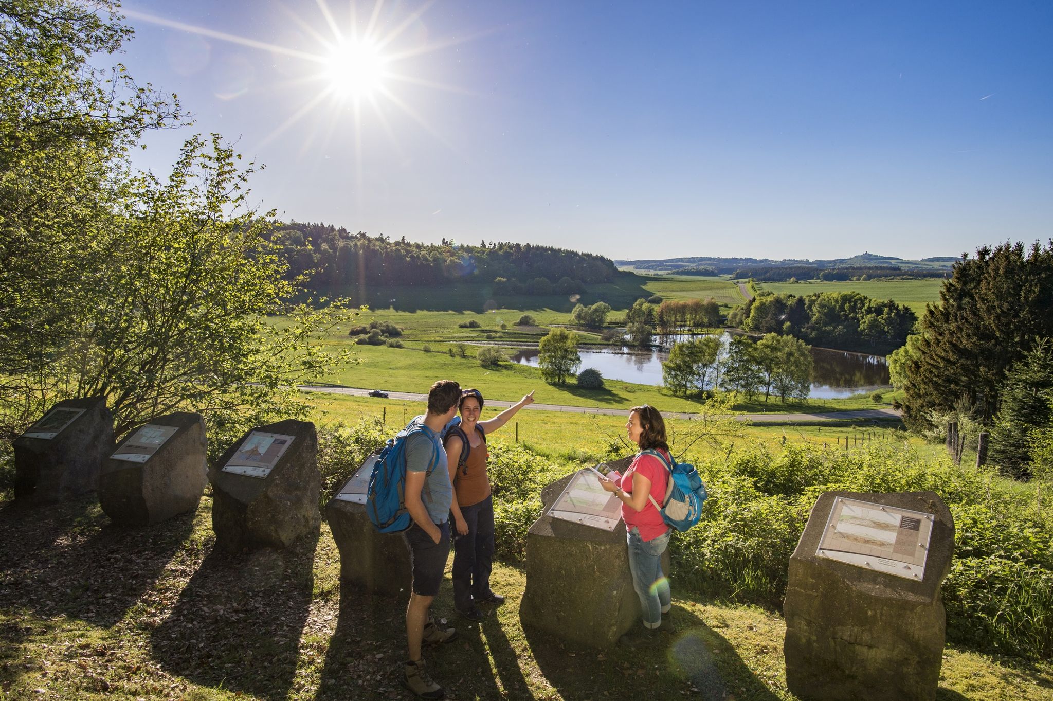
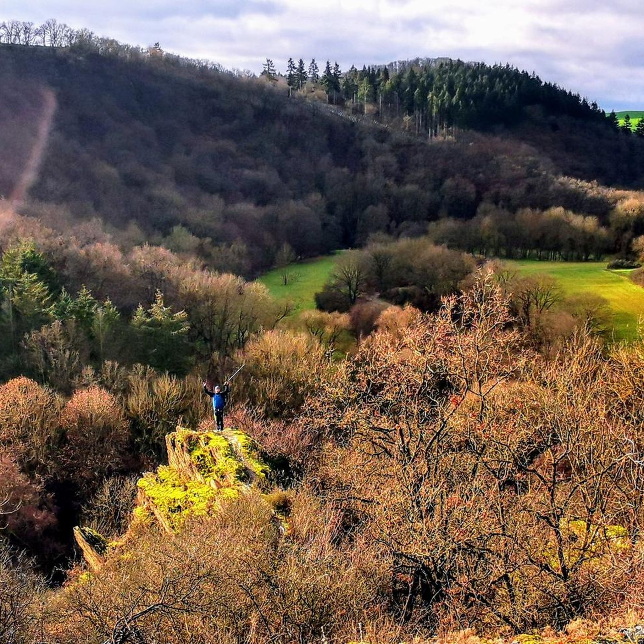
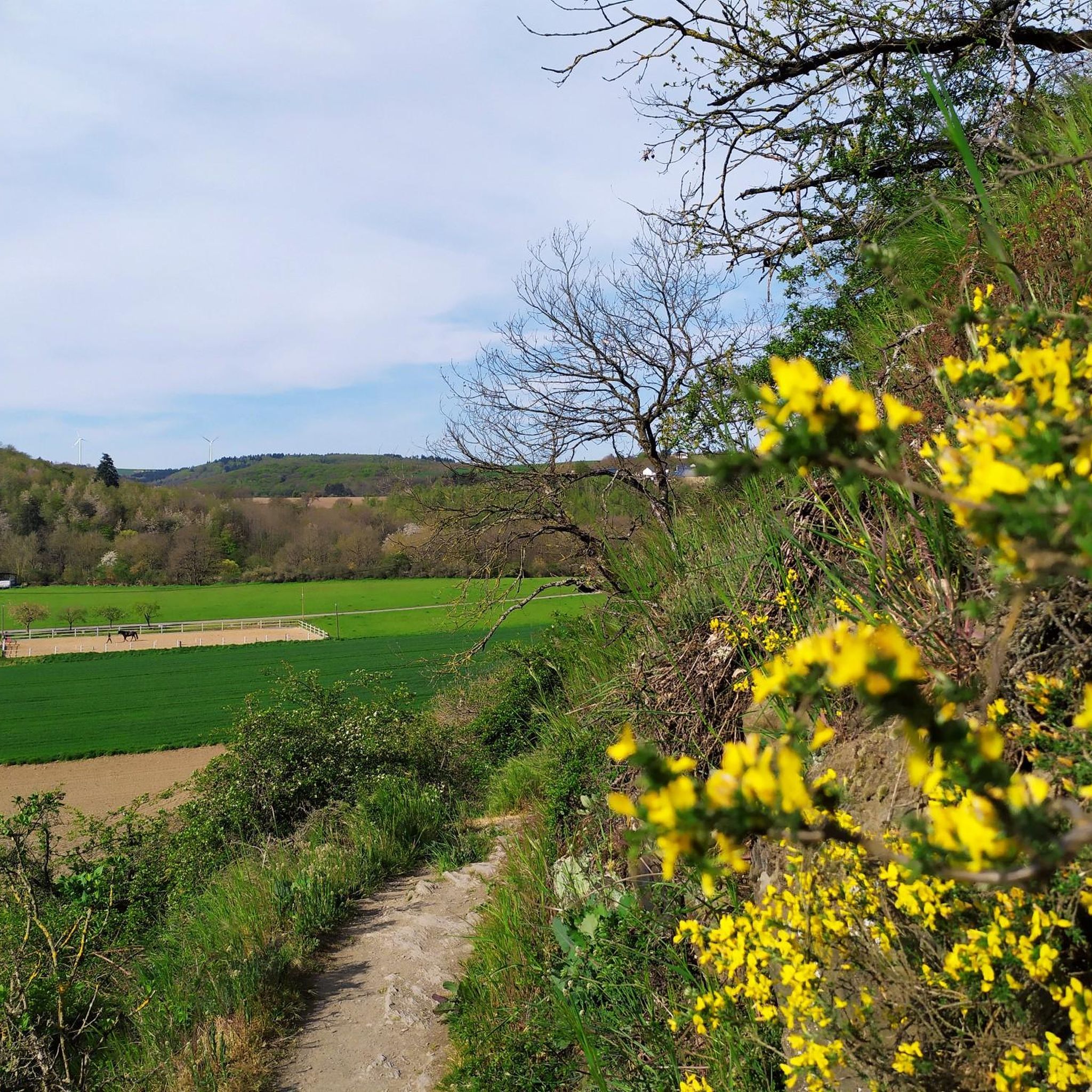
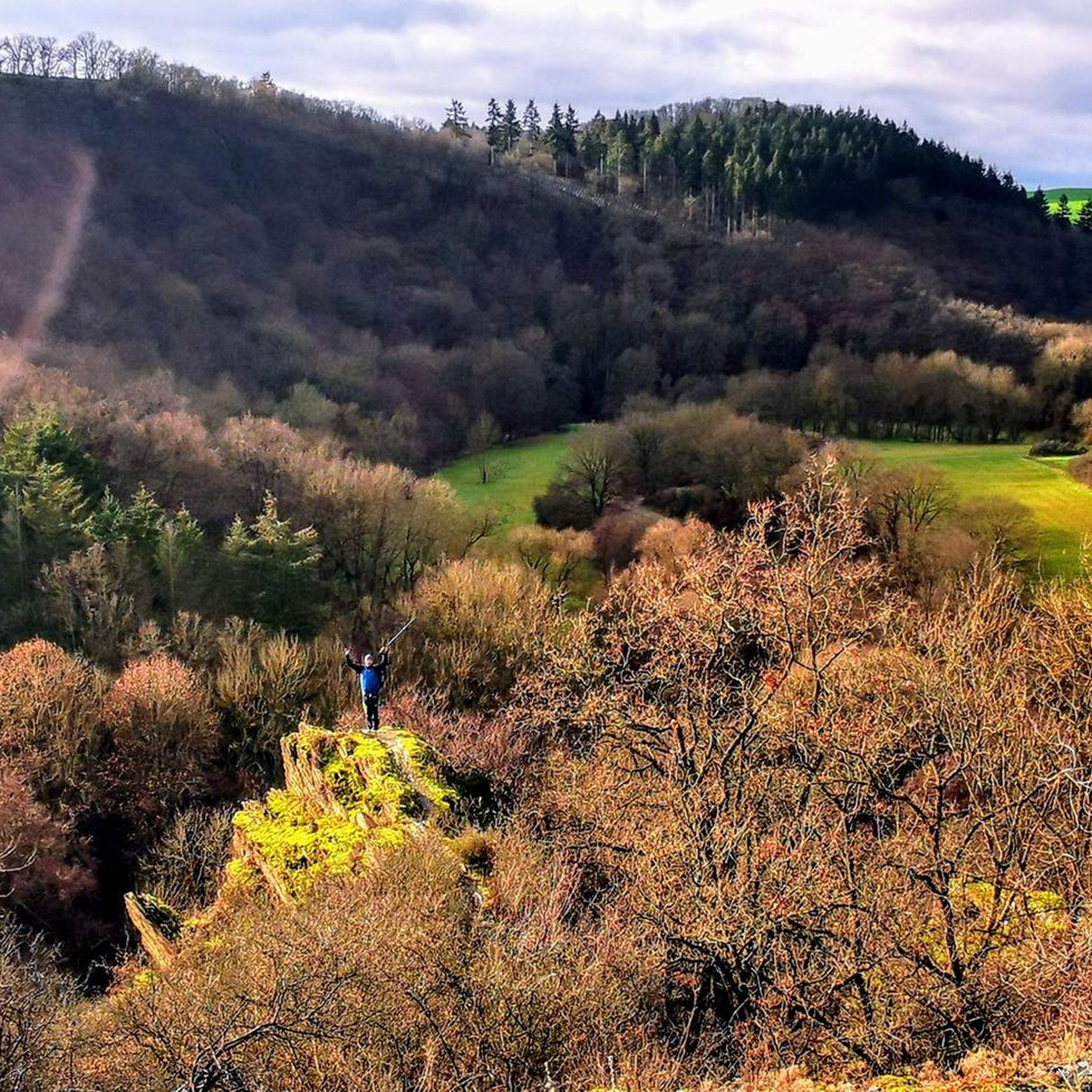
Other adventures around Trimbs

Tips from the Community

The Nettetal in the Eifel is a picturesque, wild-romantic river valley in the eastern Eifel. It stretches out as a deeply incised V-shaped valley near the town of Mayen and captivates with impressive slate cliffs, historical buildings such as Bürresheim Castle, and a unique natural landscape.
0
0
The term „Kaulemann“ (also Kaulmann) originates from the regional mining language and historically refers to a miner, especially in slate mining. The expression is deeply rooted, particularly in the Maifeld and Eifel regions of Rhineland-Palatinate, such as in the municipality of Trimbs (near Mayen). Historical background: The name is derived from „Kauel“ (the changing and washing room of the miners). The miners working there were popularly called „Kaulemänner“.
0
0

Before you go up to the Römerwarte (stairs), there is a short but nice trail straight ahead, partly a bit overgrown and narrow, but definitely rideable. (Aug. 2025) This leads along the quarry down to a farm near the Nette.
0
0

This is a great place to park for an extended hike. The stone companion will look after your car.
0
0

Anyone who has travelled along the busy Eifel roads, e.g. to Maria Laach, without a cycle path, will enjoy the peace and quiet on this route.
1
0

Here you have a really beautiful panoramic view.
0
0

The tunnel was part of the Maifeld Railway, a branch line of the Eifelquerbahn (Eifel Cross Railway), which was closed in the 1980s. Today, the tunnel is integrated into the Maifeld Cycle Path, which runs along former railway lines in the Maifeld region. The tunnel is paved and illuminated, making it attractive for both cyclists and hikers.
55
0

Frequently Asked Questions
How many running routes are available around Trimbs?
There are over 330 running routes available around Trimbs, offering a wide variety of options for different preferences and fitness levels. These routes are highly rated by the komoot community, with an average score of 4.3 stars.
What kind of terrain can I expect on the running trails in Trimbs?
The running trails in Trimbs offer a diverse and engaging experience. You can expect varied terrain, including soft grass footpaths, narrow trails, and sections along rough slate cliffs. Some parts involve gentle inclines and sparse alluvial forests, while others feature steep descents, providing a dynamic workout and immersive natural experience.
Are there running routes suitable for beginners in Trimbs?
Yes, Trimbs offers routes suitable for various ability levels. While many trails are moderate to difficult, there are approximately 34 easy routes available. These paths provide a gentler introduction to running in the region's scenic landscapes.
Can I find routes with scenic viewpoints in the Trimbs area?
Absolutely. The region is known for its picturesque vistas. For instance, an ascent to Burgkopf offers breathtaking panoramic views of the surrounding countryside, including 'Trimbs Switzerland' with grand views of Trimbs and Welling. You can also find viewpoints like the Gänsehalsturm Observation Tower and the Panoramic view from Ettringer Bellerberg nearby.
Are there any historical or unique features to discover along the running paths?
Yes, several routes incorporate historical and unique elements. The Mayen Slate Quarry – Roman Watchtower Eifel loop from Landkreis Mayen-Koblenz leads through historical areas. The Nette-Schieferpfad, for example, features remnants of ancient settlements, medieval structures, and a unique 250-meter-long, lit former railway tunnel, offering an adventurous interlude and a view of the Nette viaduct.
What do other runners say about the trails in Trimbs?
The running routes in Trimbs are highly rated by the komoot community, with an average score of 4.3 stars from over 450 reviews. Runners often praise the varied terrain, the serene ambiance of the Nette River valley, and the engaging natural and historical points of interest that make for an immersive experience.
Are the running routes around Trimbs dog-friendly?
Many of the natural trails and paths in the Trimbs area, especially those through forests and along the Nette River, are generally dog-friendly. However, it's always recommended to keep dogs on a leash, especially in nature reserves or near livestock, and to check specific route details for any restrictions.
Are there any routes that pass by waterfalls or natural monuments?
Yes, the region around Trimbs is rich in natural beauty. You can find routes that lead near natural monuments such as the Elzbach Waterfall at the Pyrmonter Mill or the Nette Waterfall. The tranquil Nette River itself is a prominent natural feature accompanying many routes.
What is the typical length and duration of running routes in Trimbs?
Running routes in Trimbs vary in length and duration. For example, the Ehem. Schiefergruben loop from Trimbs is about 4.8 miles (7.8 km) and takes approximately 52 minutes. Longer routes like the Mayen Slate Quarry – Roman Watchtower Eifel loop from Landkreis Mayen-Koblenz are around 6.7 miles (10.8 km) and can take about 1 hour 13 minutes.
Are there circular running routes available in Trimbs?
Yes, many of the running routes in Trimbs are designed as loops, allowing you to start and end at the same point. Examples include the Ehem. Schiefergruben loop from Trimbs and the View from Lehnen Viaduct – Hausen-1 Tunnel loop from Landkreis Mayen-Koblenz.
Is it easy to find parking near the running trailheads in Trimbs?
Parking availability varies by trailhead, but generally, there are designated parking areas for hikers and runners in and around Trimbs, especially near popular starting points for trails like the Nette-Schieferpfad. It's advisable to check specific route information for parking recommendations.
Can I reach the running trails in Trimbs using public transport?
While Trimbs is primarily accessed by car, some trailheads may be reachable via local bus services. For detailed information on public transport connections to specific starting points, it's best to consult local transport schedules or regional tourism websites.
Are there family-friendly running paths in Trimbs?
Yes, among the 34 easy routes available, many are suitable for families looking for a less strenuous running or walking experience. These paths often feature gentler inclines and well-maintained surfaces, making them enjoyable for all ages.
Most popular attractions around Trimbs

Get inspired with the komoot mobile app


Explore more
Browse the best Running Trails & Routes in other regions.
