The best walks and hikes around Saliceto
4.2
(516)
2,218
hikers
44
hikes
Hiking around Saliceto, nestled in Italy's Piedmont region, offers diverse landscapes for outdoor enthusiasts. The area is characterized by rolling hills, extensive forests, and river valleys, including the Bormida and Belbo rivers. These features provide a variety of hiking experiences, from gentle countryside paths to more secluded, wilder forest trails in the Alta Langa. The terrain includes both agricultural mosaics and natural ecosystems rich in biodiversity.
Best hiking trails around Saliceto
- The most popular hiking route is Struccia Waterfall –…
Last updated: July 2, 2026
4.5
(43)
150
hikers
5.94km
01:47
190m
190m
Easy hike. Great for any fitness level. Easily-accessible paths. Suitable for all skill levels.
4.7
(133)
660
hikers
10.8km
03:38
510m
510m
Moderate hike. Good fitness required. Mostly accessible paths. Sure-footedness required.

Sign up for free
4.9
(36)
137
hikers
15.1km
05:59
1,030m
1,030m
Hard hike. Very good fitness required. Mostly accessible paths. Sure-footedness required.
4.7
(6)
22
hikers
21.8km
08:50
1,450m
1,450m
Hard hike. Very good fitness required. Mostly accessible paths. Sure-footedness required.
5
hikers
7.19km
03:01
500m
500m
Moderate hike. Good fitness required. Mostly accessible paths. Sure-footedness required.
Get access to more routes and recommendations from other explorers.
Sign up for free
Already have an account?
Our route recommendations are based on thousands of hikes, rides, and runs completed by other people on komoot.
Start today with a free account
Your next adventure awaits.
Login or Signup
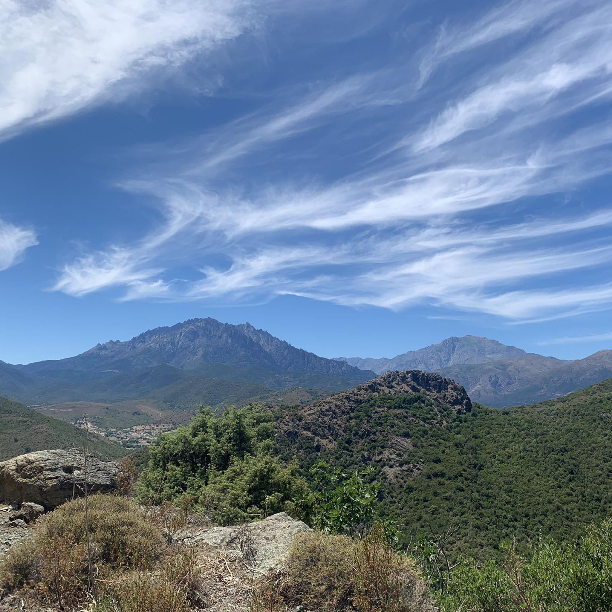
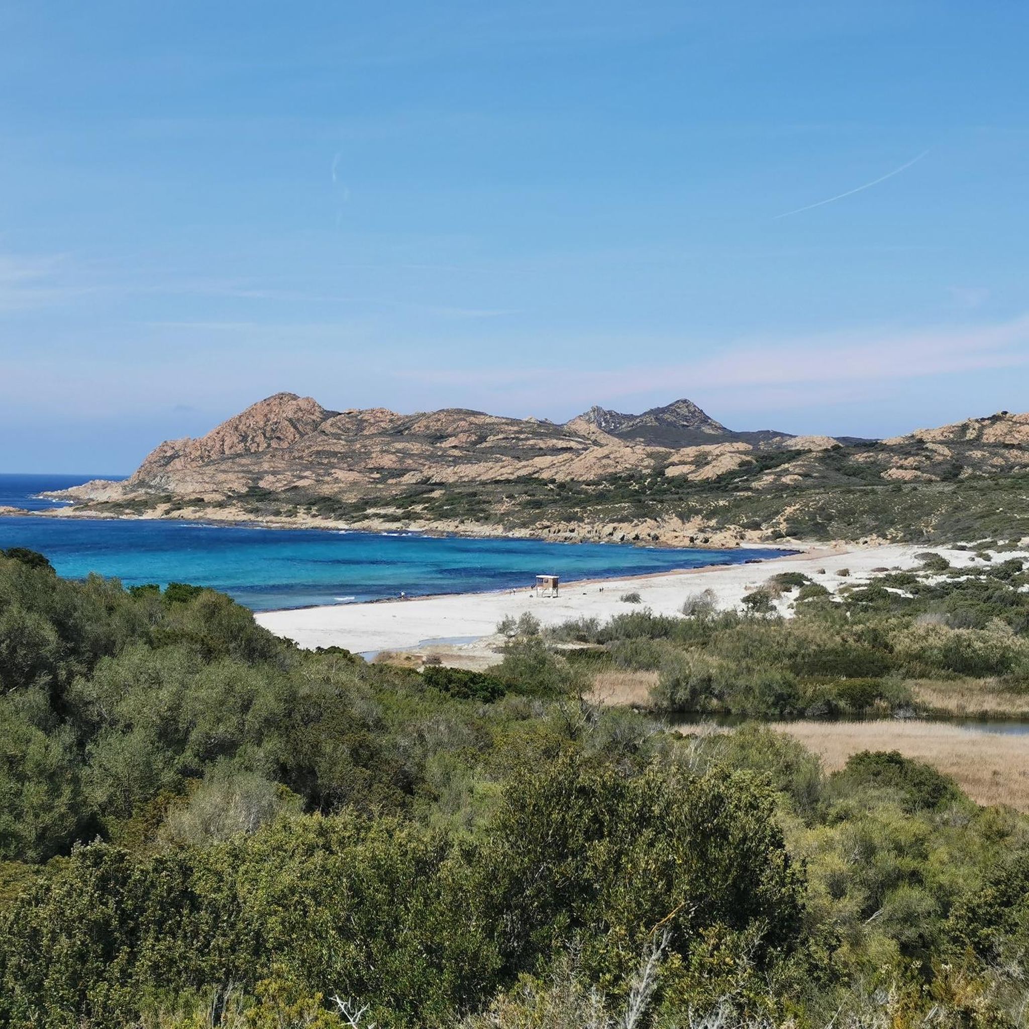


Tips from the Community


The ruins can only be viewed from the outside; everything is fenced off and entry is prohibited.
0
0

It's definitely worth a detour, it's almost an LP. And if you are careful you can explore one or the other room, which of course should be well thought out because of the risk of collapse.
1
0
Nice place to take a break right on the "tourist highway" on the way to the waterfall with a fantastic view of it.
0
0
A small fountain to cool off before or after the waterfall, depending on where you are coming from.
0
0
Beautiful waterfall, as the main attraction with many tourists, but still worth a visit.
0
0
In the meantime, grazing cows complete the idyllic picture.
0
0

A pretty little spot on the river to cool off, but no swimming spot.
0
0
Frequently Asked Questions
How many hiking trails are available around Saliceto?
There are over 40 hiking trails around Saliceto, offering a diverse range of experiences from gentle strolls through rolling hills to more challenging treks in the Alta Langa. The komoot community has explored over 2,100 of these routes.
Are there easy hiking options for beginners or families in Saliceto?
Yes, Saliceto offers several easy trails suitable for beginners and families. For example, the Struccia Waterfall – Piedicroce loop from Piedicroce is an easy 5.9 km route that takes less than two hours to complete. The region's rolling hills provide many peaceful countryside loops.
What kind of terrain can I expect on hikes around Saliceto?
The terrain around Saliceto is quite varied. You'll find picturesque rolling hills, extensive shady forests, and river valleys, particularly along the Bormida and Belbo rivers. Some areas feature agricultural mosaics with vineyards and hazelnut groves, while the Alta Langa presents wilder, more secluded landscapes. Trails can range from gentle paths to routes with significant elevation changes.
Are there any trails that feature waterfalls or natural pools?
Yes, the area is home to the beautiful Struccia Waterfall, which is a highlight on several routes, including the Struccia Waterfall – Church loop from Piedicroce. While not directly in Saliceto, the nearby Natural Pools on the Fiume Tavignano offer another refreshing natural feature.
What are some notable landmarks or viewpoints I can discover on a hike?
Many trails offer panoramic vistas. You can find stunning views from Mount San Petrone, which is featured in routes like the View of San Petrone loop from Lutina. Other points of interest include the historic XIV-century castle in Saliceto and the Castle of Prunetto, often visible along hiking routes.
Are there any circular hiking routes in the Saliceto area?
Yes, many of the trails around Saliceto are circular, allowing you to start and end at the same point. Examples include the Struccia Waterfall – Piedicroce loop from Piedicroce and the Through beautiful woods – Mount San Petrone loop from Piedicroce, which offers a more challenging circular option.
What do other hikers enjoy most about hiking in Saliceto?
The area is highly rated by the komoot community, with an average score of 4.38 stars from over 480 reviews. Hikers often praise the diverse landscapes, from tranquil rolling hills to wilder forests, and the opportunity to combine natural beauty with cultural points of interest like historic castles and panoramic viewpoints.
Is Saliceto a good base for longer, multi-day treks?
Yes, Saliceto serves as a starting point for segments of the Grande Traversata delle Langhe (GTL), a long-distance route that explores the less-known parts of the Alta Langa. This multi-stage trek can span over 130 km, allowing hikers to discover traditional villages and experience wild landscapes with breathtaking views of the western Alpine arc.
What is the best time of year to go hiking in Saliceto?
The Piedmont region generally offers pleasant hiking conditions from spring through autumn. Spring brings blooming wildflowers, while autumn showcases vibrant fall foliage, especially in the extensive forests. Summer can be warm, but the shaded forest trails provide respite. Winter hikes are possible, but some higher or more exposed routes might require appropriate gear.
Are there dog-friendly hiking trails around Saliceto?
Many trails in the Saliceto area are suitable for hiking with dogs, allowing them to enjoy the diverse landscapes alongside you. However, it's always recommended to keep dogs on a leash, especially in agricultural areas or near wildlife, and to check for any specific local regulations or protected areas that might have restrictions.
Are there options for parking near the trailheads in Saliceto?
While specific parking information for every trailhead isn't always detailed, many hiking routes in the Piedmont region, especially those starting from villages or popular attractions, typically have designated parking areas nearby. It's advisable to check the route details on komoot for specific starting points and potential parking suggestions.
Most popular attractions around Saliceto

Get inspired with the komoot mobile app


Explore more
Browse the best Hikes in other regions.
