The best walks and hikes around Volpajola
4.4
(366)
1,922
hikers
47
hikes
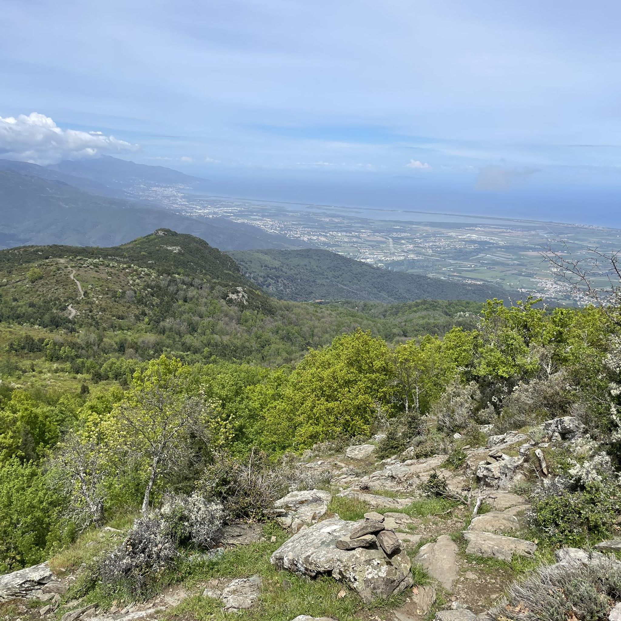
Hiking around Volpajola offers diverse landscapes shaped by its schist-dominated geology, situated on the southern flank of the Serra di Tenda. The terrain features elevations ranging from 45 meters to 1,231 meters, with the village itself at an average altitude of 370 meters overlooking the Golo River valley. This geological composition creates a rugged environment with varied topography suitable for exploration.
Best hiking trails around Volpajola
- The most popular hiking route is Monte Sant'Angelo, a 6.9 miles (11.1 km)…
Last updated: June 28, 2026
4.5
(24)
78
hikers
11.1km
03:47
590m
590m
Moderate hike. Good fitness required. Easily-accessible paths. Suitable for all skill levels.
4.5
(27)
78
hikers
9.55km
02:49
270m
270m
Moderate hike. Good fitness required. Easily-accessible paths. Suitable for all skill levels.

Sign up for free
4.6
(10)
66
hikers
7.71km
02:42
420m
420m
Moderate hike. Good fitness required. Easily-accessible paths. Suitable for all skill levels.
4.6
(9)
38
hikers
6.45km
02:01
250m
250m
Moderate hike. Good fitness required. Easily-accessible paths. Suitable for all skill levels.
4.8
(9)
38
hikers
Easy hike. Great for any fitness level. Easily-accessible paths. Suitable for all skill levels.
Get access to more routes and recommendations from other explorers.
Sign up for free
Already have an account?
Our route recommendations are based on thousands of hikes, rides, and runs completed by other people on komoot.
Start today with a free account
Your next adventure awaits.
Login or Signup

Tips from the Community

Walk the path of water and stones
0
0


Very beautiful small church made of green serpentine and white limestone blocks.
0
0

Impressively beautiful little church. Also beautifully located.
0
0
Built for the times without a washing machine.
1
0
Beautiful really old church. Very special: the triangular bell tower.
1
0

This peak is a relatively easy climb for a great reward. The sea views really give a sense of elevation.
3
0

This church is a real curiosity, not to be missed. Of Romanesque architecture, its construction dates back to the 13th century. Its checkerboard structure makes it one of the finest examples of Pisan Romanesque art. Indeed at that time Corsica was under the domination of Pisa in Italy and therefore suffered its artistic influence. In 1875, it was classified as a historical monument. It is certainly one of the prettiest churches in Corsica and among the most surprising that you can visit. It overlooks the Gulf of Saint-Florent.
2
0
Frequently Asked Questions
How many hiking trails are available around Volpajola?
Volpajola offers a wide selection of outdoor adventures, with over 40 hiking trails to explore. These routes cater to various fitness levels, from easy walks to more challenging ascents.
What kind of terrain can I expect on hikes in Volpajola?
The terrain around Volpajola is characterized by its unique schist-dominated geology, part of the Serra di Tenda's extension. This creates a rugged yet beautiful environment with elevations ranging from 45 meters to 1,231 meters. You'll find varied topography, from easily accessible paths to routes requiring good fitness and sure-footedness, often featuring old houses with slate roofs along mountain ridges and views of the Golo River valley.
Are there any easy hiking trails suitable for beginners in Volpajola?
Yes, Volpajola offers several easy trails perfect for beginners. For example, the Chapelle Santa Chiara – Punta Rosso loop from Rutali is a relatively short hike at 6.18 km with 240 meters of elevation gain, taking about 1 hour and 55 minutes, suitable for various skill levels.
Can I find circular hiking routes around Volpajola?
Yes, many of the trails around Volpajola are designed as loops, offering convenient circular routes. A popular option is the Monte Castellare loop from Campile, which covers 7.71 km with 420 meters of elevation gain and typically takes around 2 hours and 42 minutes.
What historical or natural landmarks can I see while hiking near Volpajola?
While hiking, you can discover several interesting landmarks. The Ruins of San Cesariu – Historic Wash House loop from Murato offers historical points of interest. Nearby, you can visit the remarkable San Michele de Murato Church, a 13th-century Romanesque church known for its checkerboard structure. The village of Volpajola itself features historic buildings, including the imposing 16th-century Annunciation parish church built with local schist stone.
Are there any family-friendly hiking options in Volpajola?
While specific 'family-friendly' designations aren't always explicit, trails with lower difficulty and shorter distances are generally suitable. The Chapelle Santa Chiara – Punta Rosso loop from Rutali is an easy option that could be suitable for families looking for a shorter outing.
What is the best time of year to go hiking in Volpajola?
Given Corsica's Mediterranean climate, spring (April-June) and autumn (September-October) are generally the most pleasant seasons for hiking in Volpajola. During these times, temperatures are milder, and the natural scenery is vibrant. Summer can be hot, especially at lower elevations, while winter might bring cooler temperatures and potentially some precipitation, particularly at higher altitudes.
Is parking available at the trailheads in Volpajola?
Parking availability varies by trailhead. In general, villages like Volpajola and nearby hamlets often have designated parking areas. It's advisable to check local signage or specific route descriptions for detailed parking information before you set out.
Do I need any special permits to hike in the Volpajola area?
Generally, no special permits are required for day hiking on the established trails around Volpajola. However, always respect private property and any local regulations, especially if venturing off marked paths. For specific protected areas or longer treks, it's always wise to check with local tourism offices.
What do other hikers say about the trails in Volpajola?
The trails in Volpajola are highly rated by the komoot community, with an average score of 4.4 stars from over 299 reviews. Hikers often praise the diverse terrain, the panoramic views of the surrounding mountains and valleys, and the opportunities to explore both natural beauty and historical sites.
Are there any notable viewpoints or scenic spots on the trails?
Many trails in Volpajola offer stunning panoramic views due to the region's varied topography. The village itself is perched at 370 meters, overlooking the Golo River valley. Hikes like Monte Sant'Angelo, which has a summit highlight, provide excellent vantage points to appreciate the schist-rich landscapes and the broader Corsican scenery.
Are there any longer or more challenging hikes for experienced hikers?
Yes, for those seeking a greater challenge, Volpajola offers more demanding routes. The Monte Sant'Angelo trail is a moderate hike of 11.1 km with an elevation gain of 590 meters, requiring good fitness. Another challenging option is the Côte est – Cima di Stella loop from Lucciana, spanning 11.2 km with 610 meters of elevation gain.
Most popular attractions around Volpajola

Get inspired with the komoot mobile app


Explore more
Browse the best Hikes in other regions.
