The best walks and hikes around Tétaigne
4.5
(216)
813
hikers
73
hikes
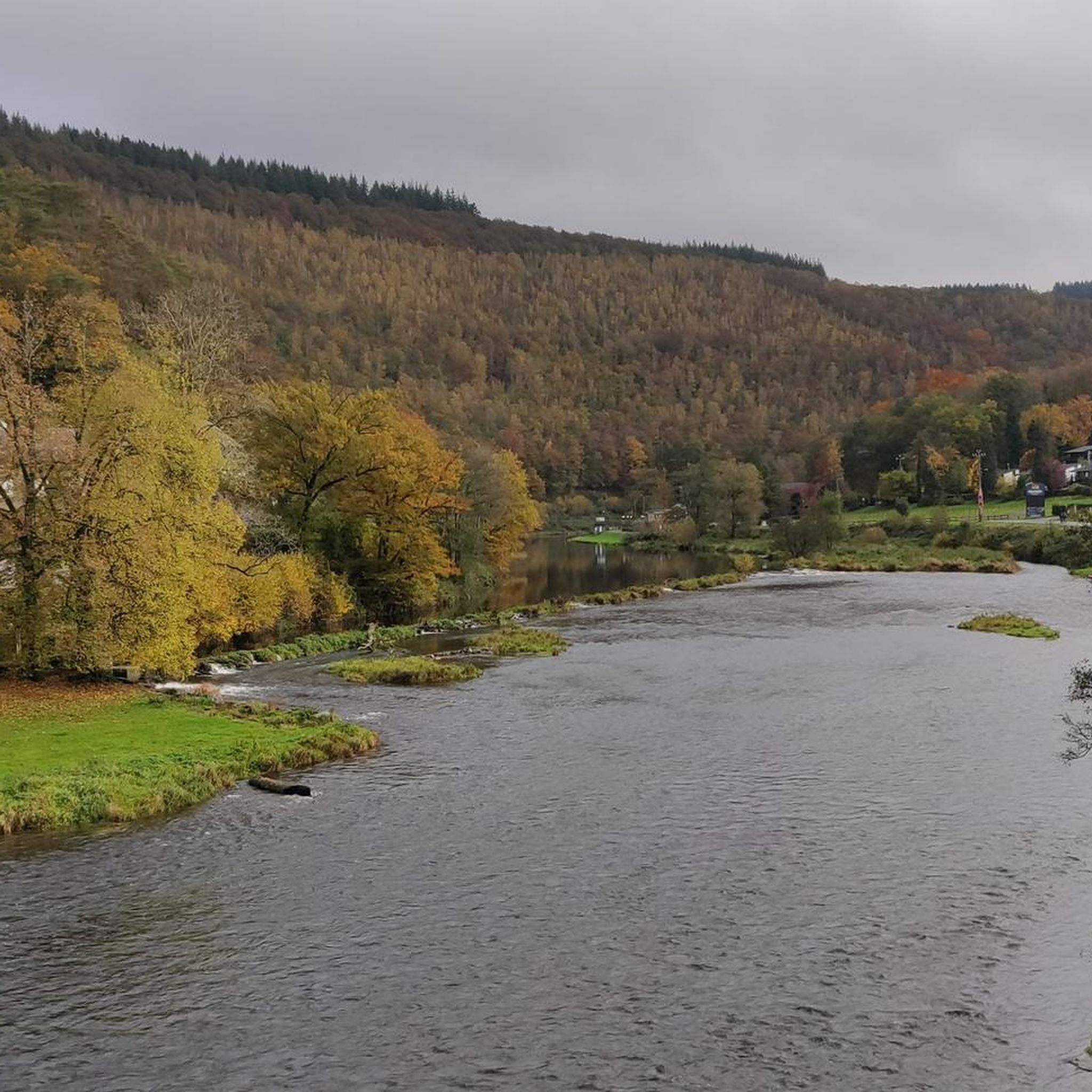
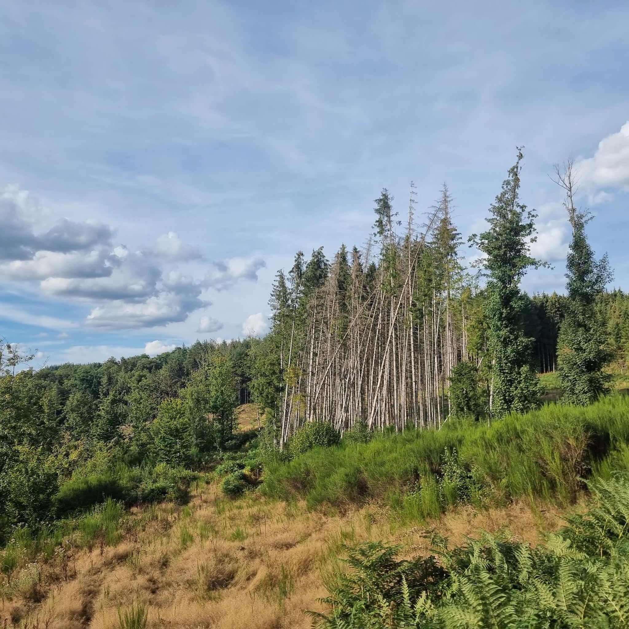
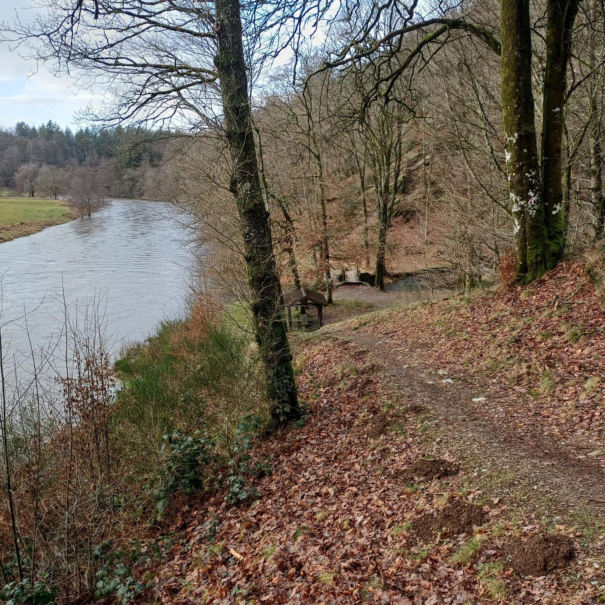
Hiking around Tétaigne offers access to the diverse landscapes of the Ardennes region, characterized by hilly, forested terrain. The area features dense forests, valleys, and high plateaus, providing varied environments for outdoor activities. A notable geological feature is the Pont de pierre de la Roche à l'Appel, known for its unique rock formations and botanical interest.
Best hiking trails around Tétaigne
- The most popular hiking route is Château de Lombut loop from Amblimont, a 7.3 miles (11.8 km) trail…
Last updated: August 20, 2026
4.7
(3)
18
hikers
11.8km
03:13
180m
180m
Moderate hike. Good fitness required. Easily-accessible paths. Suitable for all skill levels.
4.7
(3)
20
hikers
11.3km
03:07
200m
200m
Moderate hike. Good fitness required. Easily-accessible paths. Suitable for all skill levels.

Sign up for free
4.6
(5)
7
hikers
7.01km
01:53
80m
80m
Easy hike. Great for any fitness level. Easily-accessible paths. Suitable for all skill levels.
4.6
(5)
7
hikers
7.56km
02:01
80m
80m
Moderate hike. Good fitness required. Easily-accessible paths. Suitable for all skill levels.
4.0
(3)
7
hikers
Moderate hike. Good fitness required. Easily-accessible paths. Suitable for all skill levels.
Get access to more routes and recommendations from other explorers.
Sign up for free
Already have an account?
Our route recommendations are based on thousands of hikes, rides, and runs completed by other people on komoot.
Start today with a free account
Your next adventure awaits.
Login or Signup


Tips from the Community

To discover from the greenways of the Ardennes
1
0

The Château de Lombut is one of the oldest and best preserved feudal castles in the region. You can admire its medieval architecture and its history.
4
0

Small, hardly recognizable bridge that has grown properly.
3
0
Very small bunker of the Maginot Line. The Maginot Line (French: Ligne Maginot) was a line of bunker defenses along France's borders with Belgium, Luxembourg, Germany and Italy. The system is named after the French Minister of War André Maginot. It was built between 1930 and 1940 to prevent or ward off attacks from these neighboring countries or from the hegemonic powers Germany and Italy who might attack via their territories. In addition, the southern tip of Corsica was fortified.
2
0
Very small playground for the little ones.
2
0
Information board on tourist destinations of the Portes du Luxemborg
2
0
Frequently Asked Questions
How many hiking trails are available around Tétaigne?
There are over 70 hiking trails around Tétaigne, offering a wide range of options for different skill levels. You'll find routes varying from easy strolls to more challenging treks through the Ardennes landscape.
What types of landscapes can I expect to see while hiking in Tétaigne?
Hiking in Tétaigne allows you to explore the diverse landscapes of the Ardennes region. Expect hilly, forested terrain, deep valleys, and high plateaus. The area is characterized by dense forests and offers scenic views of the surrounding countryside.
Are there any easy hiking trails suitable for beginners or families?
Yes, Tétaigne offers a good selection of easy trails. With 33 routes classified as easy, there are plenty of options for beginners or families looking for a relaxed walk. An example is the Château de Lombut loop from Euilly-et-Lombut, which is an easy 7 km (4.3 miles) trail.
What are some notable natural landmarks or attractions to see on a hike near Tétaigne?
A significant natural feature near Tétaigne is the Roche à l'Appel Stone Bridge. This site is known for its unique rock formations and interesting botanical features. You can discover this and other points of interest along various routes in the area.
Are there any circular hiking routes around Tétaigne?
Many of the trails around Tétaigne are circular, allowing you to start and end at the same point. For instance, the Château de Lombut loop from Tétaigne is a moderate 7.6 km (4.7 miles) circular route that takes you through forested areas and rural landscapes.
What do other hikers say about the trails in Tétaigne?
The hiking trails in Tétaigne are highly rated by the komoot community, with an average score of 4.6 stars from over 200 reviews. Hikers often praise the quiet woodlands, varied terrain, and well-marked paths that make exploring the region enjoyable.
Can I bring my dog on the hiking trails in Tétaigne?
The Ardennes region, including the area around Tétaigne, is generally dog-friendly. Most trails are suitable for dogs, but it's always recommended to keep them on a leash, especially in forested areas or near livestock, and to check local regulations for specific routes or protected areas.
How long do hiking trails around Tétaigne typically take to complete?
The duration of hikes varies depending on the trail's length and your pace. For example, the Small Maginot Line Bunker – Enchanted little bridge loop from Osnes, a moderate 8.7 km (5.4 miles) route, typically takes around 2 hours 17 minutes. Shorter, easy trails can be completed in under 2 hours, while longer moderate routes might take 3-4 hours.
Is there public transport access to hiking trailheads in Tétaigne?
While Tétaigne is a small rural community, public transport options might be limited directly to all trailheads. It's advisable to check local bus schedules or consider driving to access the starting points of many routes. Parking information is often available for popular trailheads.
What is the best time of year to go hiking in Tétaigne?
The Ardennes region is beautiful throughout the year. Spring brings blooming flora, summer offers pleasant temperatures for longer hikes, and autumn transforms the forests with vibrant colors. Winter hiking is also possible, but trails might be muddy or icy, so appropriate gear is essential.
Are there any challenging hiking routes for experienced trekkers?
While most routes are easy to moderate, there is at least one trail classified as difficult among the 76 available routes. These more challenging options often feature greater elevation changes or longer distances, providing a good workout for experienced hikers.
Most popular attractions around Tétaigne

Get inspired with the komoot mobile app


Explore more
Browse the best Hikes in other regions.
