The best running trails around Erpel
4.9
(36)
326
runners
19
runs
Jogging around Erpel offers diverse routes through a landscape shaped by the Rhine river and surrounding hills. The region features the prominent Erpeler Ley, providing elevated terrain suitable for challenging runs. Nearby, the Drachenfels and Siebengebirge low mountain range contribute to a network of varied running trails. This combination of natural scenery and hilly topography makes Erpel an appealing destination for outdoor enthusiasts seeking both exercise and picturesque surroundings.
Best jogging routes around Erpel
- The most popular jogging route is…
Last updated: October 13, 2026
4.5
(4)
73
runners
47.8km
05:01
240m
240m
Hard run. Very good fitness required. Mostly paved surfaces. Suitable for all skill levels.
5.0
(5)
78
runners
Moderate run. Good fitness required. Mostly paved surfaces. Suitable for all skill levels.

5.0
(1)
16
runners
Hard run. Very good fitness required. Mostly paved surfaces. Suitable for all skill levels.
5.0
(2)
9
runners
3.09km
00:19
20m
20m
Easy run. Great for any fitness level. Mostly paved surfaces. Suitable for all skill levels.
12
runners
5.01km
00:31
40m
40m
Moderate run. Good fitness required. Mostly paved surfaces. Suitable for all skill levels.
Get access to more routes and recommendations from other explorers.
Already have an account?
Our route recommendations are based on thousands of hikes, rides, and runs completed by other people on komoot.
Start today with a free account
Your next adventure awaits.

Tips from the Community

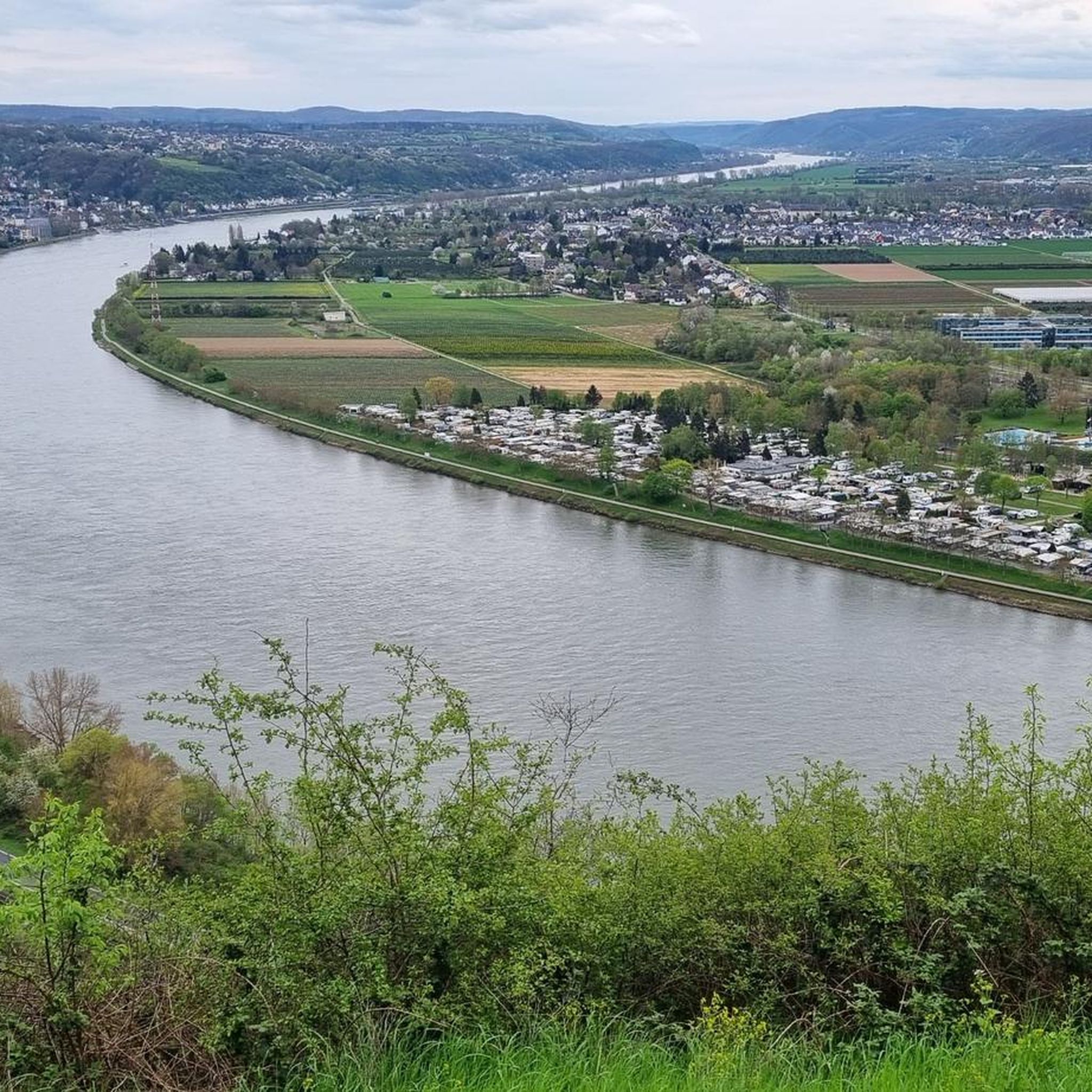
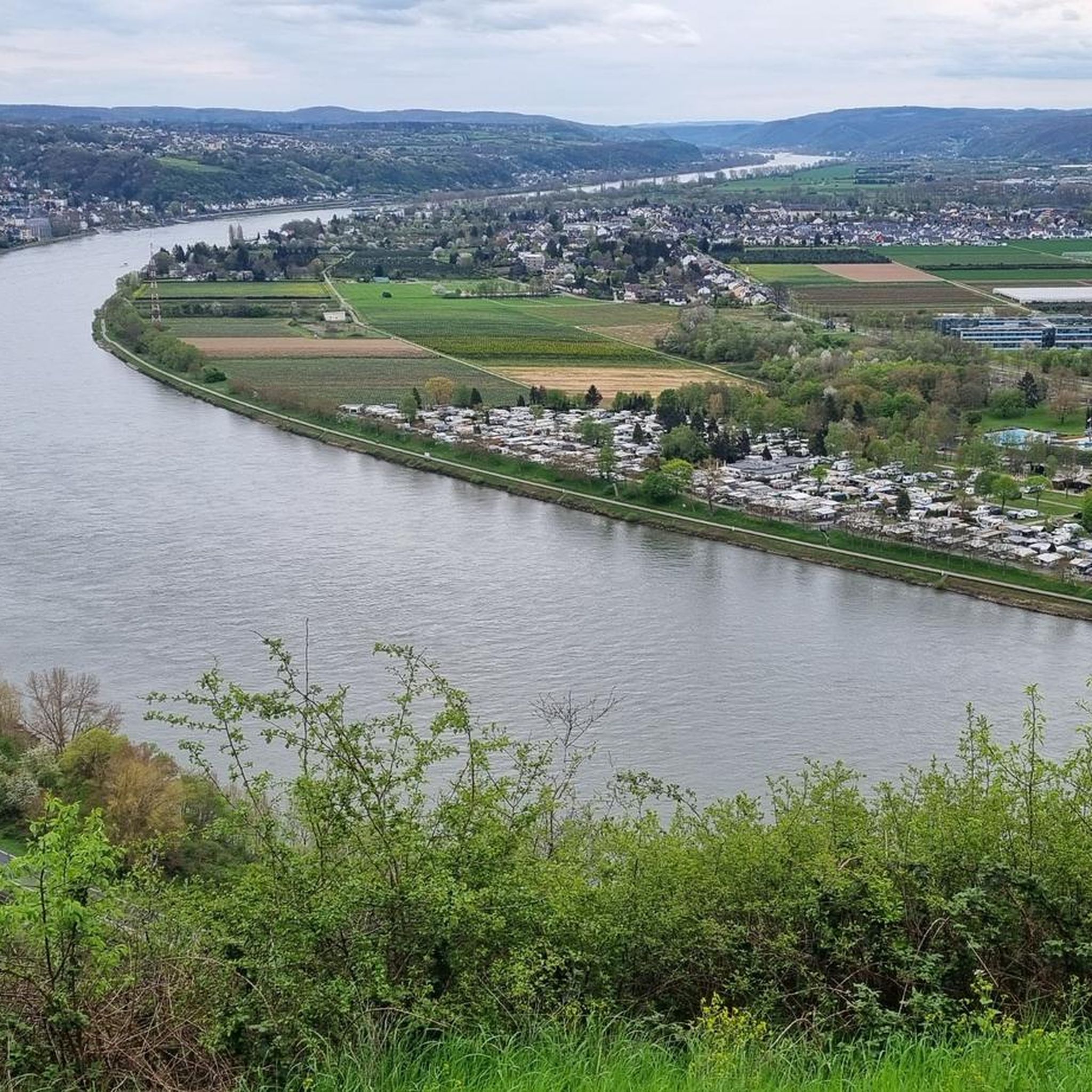
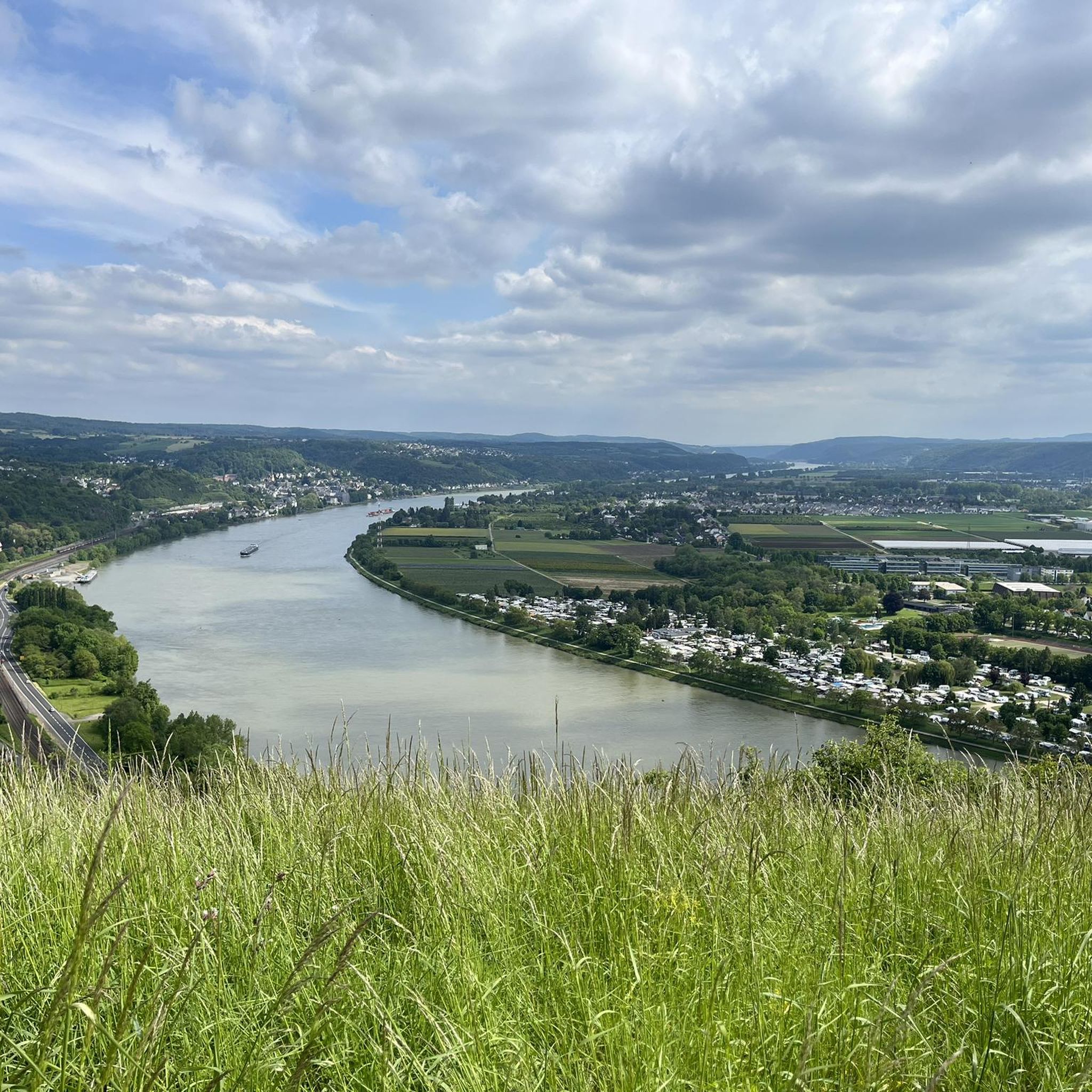
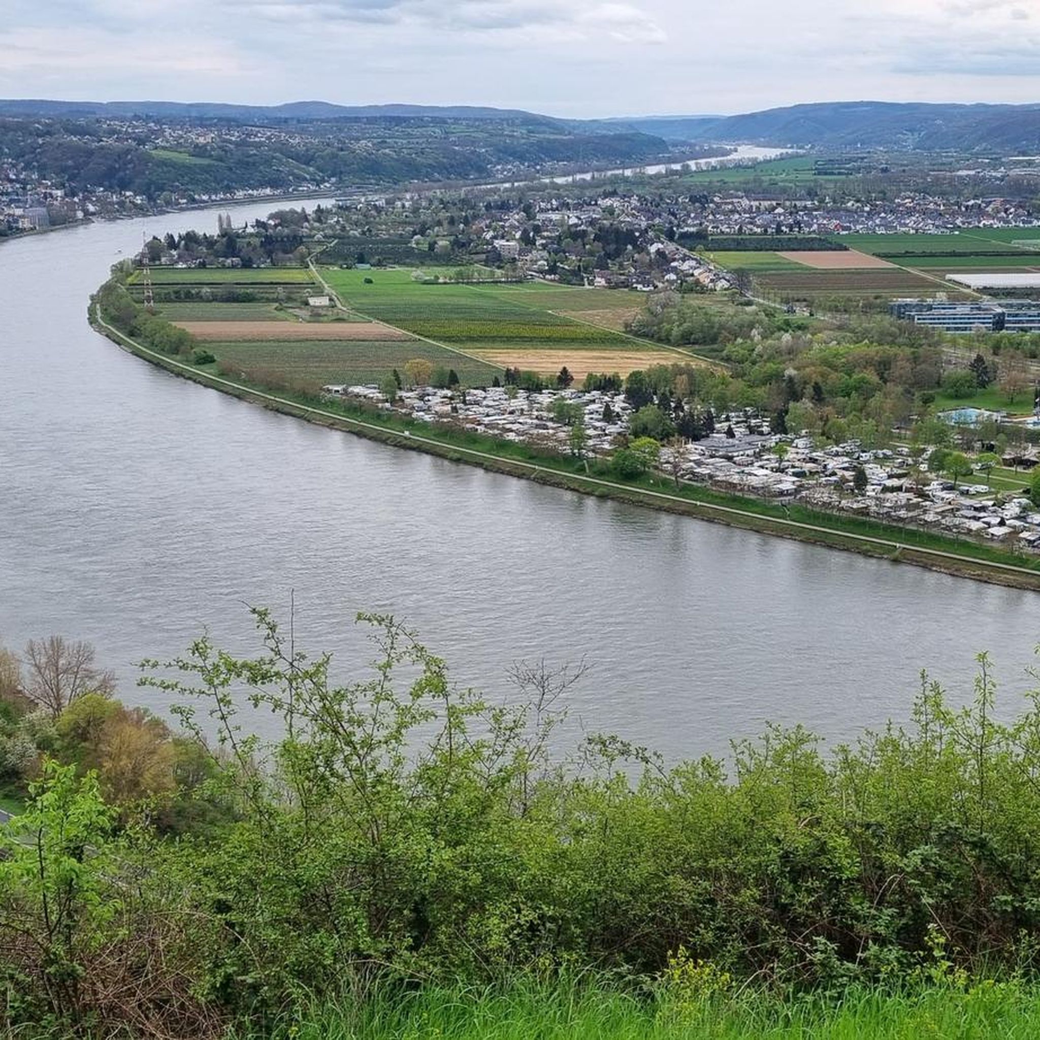
A really great view of the Siebengebirge 🦊🍀
9
0

Hello good tour
1
1

🌳It's lovely to unwind here🌳, a beautiful, long, well-maintained avenue that offers a changing view in every season🌿🍁, and to watch the ships passing by on the Rhine🚢🛟 right next to the avenue🌳. 🌳📸Great photo opportunities guaranteed📸🌳
2
0


Not a pretty view, but still a nice recreational area 🤙
2
0


In memory of the 140 Austrian soldiers who died of "hospital fever" (typhus) in Rheinbreitbach in 1793 and were buried in a mass grave.
2
0

<< Stuxberg · Unkeler Falte >> "In geology, folding refers to both the process of fold formation itself and the folded rock forms created as a result. During folding, layers of rock are formed by pressure from outside, here in Unkel the collision of the ancient continents Laurussia and Gondwana around 350 million years ago , mostly deformed in a wave shape. The highest point of a fold is called a saddle, the lowest point is called a trough, with the fold legs in between. The Unkeler Fold is a saddle in which the layers on the north side are steep or overturned. On the south side, the layers dip gently to the southeast and form the clearly visible steep wall of sedimentary rock. These are inclined layers that form when sand is deposited under flowing water. The sand is transported to the side facing away from the flow and poured down there so that it forms thin layers that slope diagonally in the direction of flow. Dune-like sand formations with flat rises and steep slopes are created, as we know them from deserts. But how do such inclined stratification bodies, which are quite typical of the deposits of a shallow sea near a river delta, where the flow intensity and direction constantly change, come to Unkel? Quite simply, Unkel was located 400 million years ago, near a coast, in the middle of a shallow sea. The special feature of the place: sediments and sedimentary rocks, also known as depositional rocks or stratified rocks, are created by the deposition of material on land and in the sea. Layering caused by material changes is characteristic of sediments. A layer formed the earth's surface for at least a short time. Furthermore, sedimentary rocks are the only rocks that can contain fossils. The Stuxberg is a classic discovery site for fossils from the Rhenish Devonian, where an approximately 10 cm thick layer of fossils produces numerous species of mussels, snails and crustaceans. A special feature are the brachiopods, so-called brachiopods, which were found in large numbers in the layer. One species was even named “chonetes unkelensis” after where it was found..." FURTHER INFORMATION: https://www.siebengebirge.com/index.php/wandern-radfahr/2-uncategorised/94-geowandel-g14 https://de.wikipedia.org/wiki/Stux https://www.unkel-kulturstadt.de/unkel/Sehen%20&%20Gehen/Wandern/Wie%20kommen%20der%20Stux%20nach%20Unkel%3F/
2
0
Frequently Asked Questions
How many running routes are available in Erpel?
Erpel offers a good selection of running routes, with over 15 trails documented on komoot. These routes cater to various fitness levels, ranging from easy to difficult.
Are there easy running routes suitable for beginners in Erpel?
Yes, Erpel has several easy running routes perfect for beginners. For instance, the Running loop from Kasbach-Ohlenberg is an easy 2.8-mile (4.6 km) trail that takes about 30 minutes to complete, leading through local villages and natural areas.
What are some longer running trails for experienced runners in Erpel?
For those seeking a challenge, Erpel offers longer and more difficult routes. The Chapel of St. Mary (1714) – Prison Tower Unkel loop from Erpel (Rhein) is a difficult 15.6-mile (25.2 km) path with significant elevation changes, exploring varied terrain.
Can I find circular running routes around Erpel?
Many of the running routes in Erpel are designed as loops, offering convenient circular paths. A popular example is the View of Apollinariskirche – Prison Tower Unkel loop from Erpel (Rhein), which is a moderate 6.1-mile (9.8 km) trail providing scenic views along the Rhine river.
What kind of views can I expect on Erpel's running routes?
Running routes in Erpel offer diverse and picturesque views. You can expect stunning vistas of the Rhine river, especially from elevated points like the Erpeler Ley. Many trails also feature forested paths and views of the surrounding hilly terrain, including glimpses of the Siebengebirge low mountain range in the distance.
Are there any interesting landmarks or attractions near the running trails in Erpel?
Absolutely! The region around Erpel is rich in natural and historical landmarks. Along your runs, you might encounter highlights such as the Lion castle ruins, the unique Stenzelberg Rock Formations, or enjoy panoramic views from the View of the Rhine Valley from the Siegfried Pulpit. The Erpeler Ley itself is a notable natural attraction.
What do other runners say about the routes in Erpel?
The running routes in Erpel are highly regarded by the komoot community, boasting an average score of 4.8 stars from over 20 reviews. Runners frequently praise the diverse landscape, the scenic Rhine river views, and the variety of terrain that caters to different ability levels.
Are the running trails in Erpel dog-friendly?
While specific regulations can vary, many natural trails and paths in Erpel are generally dog-friendly, especially if your dog is kept on a leash. The region's extensive network of forested paths and open natural areas provides ample opportunities for you and your canine companion to enjoy a run together. Always check local signage for any restrictions.
What is the best time of year to go running in Erpel?
Erpel offers enjoyable running conditions throughout much of the year. Spring and autumn are particularly popular due to mild temperatures and vibrant natural scenery. Summer mornings and evenings are also pleasant, while winter running can be beautiful, especially on cleared paths, though some higher or less maintained trails might be challenging due to snow or ice.
Are there running routes in Erpel accessible by public transport?
Erpel is situated along the Rhine, and its proximity to towns like Unkel and Remagen suggests that some routes may be accessible via local public transport, such as regional trains or buses. It's advisable to check local transport schedules and route starting points to plan your journey effectively.
Where can I find parking for the running routes in Erpel?
Parking options are typically available in and around the main town of Erpel, as well as near popular trailheads. Many routes, especially those starting from villages like Kasbach-Ohlenberg or near Unkel, will have designated parking areas or street parking available. It's recommended to check specific route descriptions for detailed parking information.
What makes the terrain around Erpel unique for running?
The terrain around Erpel is uniquely shaped by the Rhine river and surrounding hills, offering a dynamic running experience. You'll find a mix of flat riverside paths, challenging ascents and descents on the Erpeler Ley, and varied forested trails. This combination provides both gentle runs and more strenuous workouts, all set against a backdrop of natural beauty.
Most popular routes around Erpel
Most popular attractions around Erpel

Get inspired with the komoot mobile app


Explore more
Browse the best Running Trails & Routes in other regions.
