The best mountain hikes around Wallendorf
4.8
(132)
291
hikers
17
hikes
Mountaineering routes Wallendorf are characterized by dramatic sandstone and dolomite rock formations, dense forests, and picturesque river valleys. The region, bordering Luxembourg's Mullerthal, offers challenging terrain with significant elevation changes and uneven paths. Its unique geological features create a landscape often compared to "Little Switzerland," providing a distinct experience for outdoor enthusiasts.
Best mountaineering routes around Wallendorf
- The most popular mountaineering route is Huel Lee (Hohllay Cave) – Labyrinth Rock Formations loop from Berdorf, a 10.1 miles (16.2 km)…
Last updated: October 12, 2026
4.8
(17)
47
hikers
16.2km
04:32
310m
310m
Moderate mountaineering route. Good fitness required. Easily-accessible paths. Suitable for all skill levels.
4.8
(18)
28
hikers
4.64km
01:23
70m
70m
Moderate mountaineering route. Great for any fitness level. Mostly accessible paths. Sure-footedness required.

4.0
(5)
10
hikers
20.8km
05:56
380m
380m
Hard mountaineering route. Very good fitness required. Mostly accessible paths. Sure-footedness required.
4.9
(8)
17
hikers
10.1km
03:08
280m
280m
Moderate mountaineering route. Good fitness required. Mostly accessible paths. Sure-footedness required.
5.0
(3)
6
hikers
5.94km
01:42
80m
80m
Moderate mountaineering route. Great for any fitness level. Mostly accessible paths. Sure-footedness required.
Get access to more routes and recommendations from other explorers.
Already have an account?
Our route recommendations are based on thousands of hikes, rides, and runs completed by other people on komoot.
Start today with a free account
Your next adventure awaits.
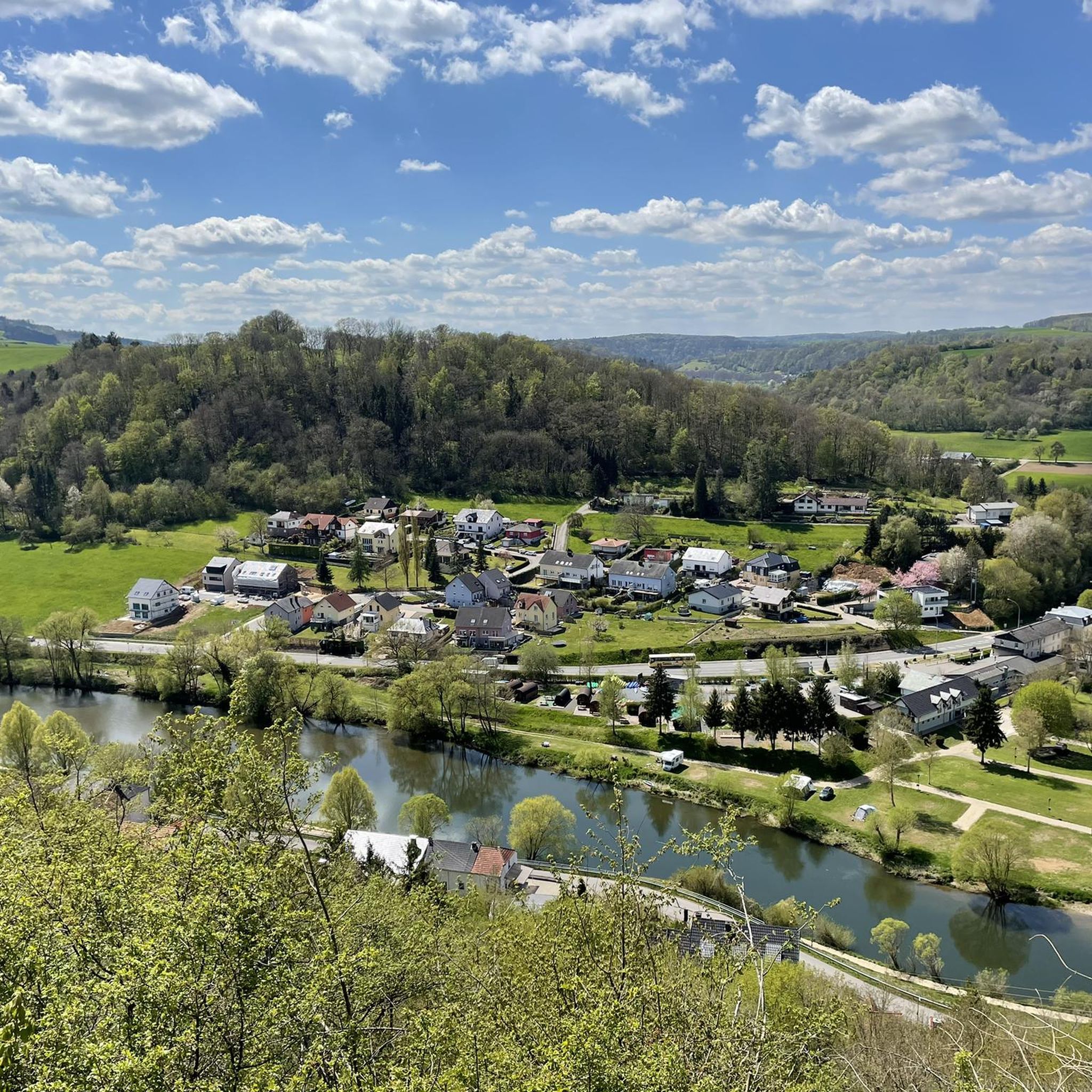
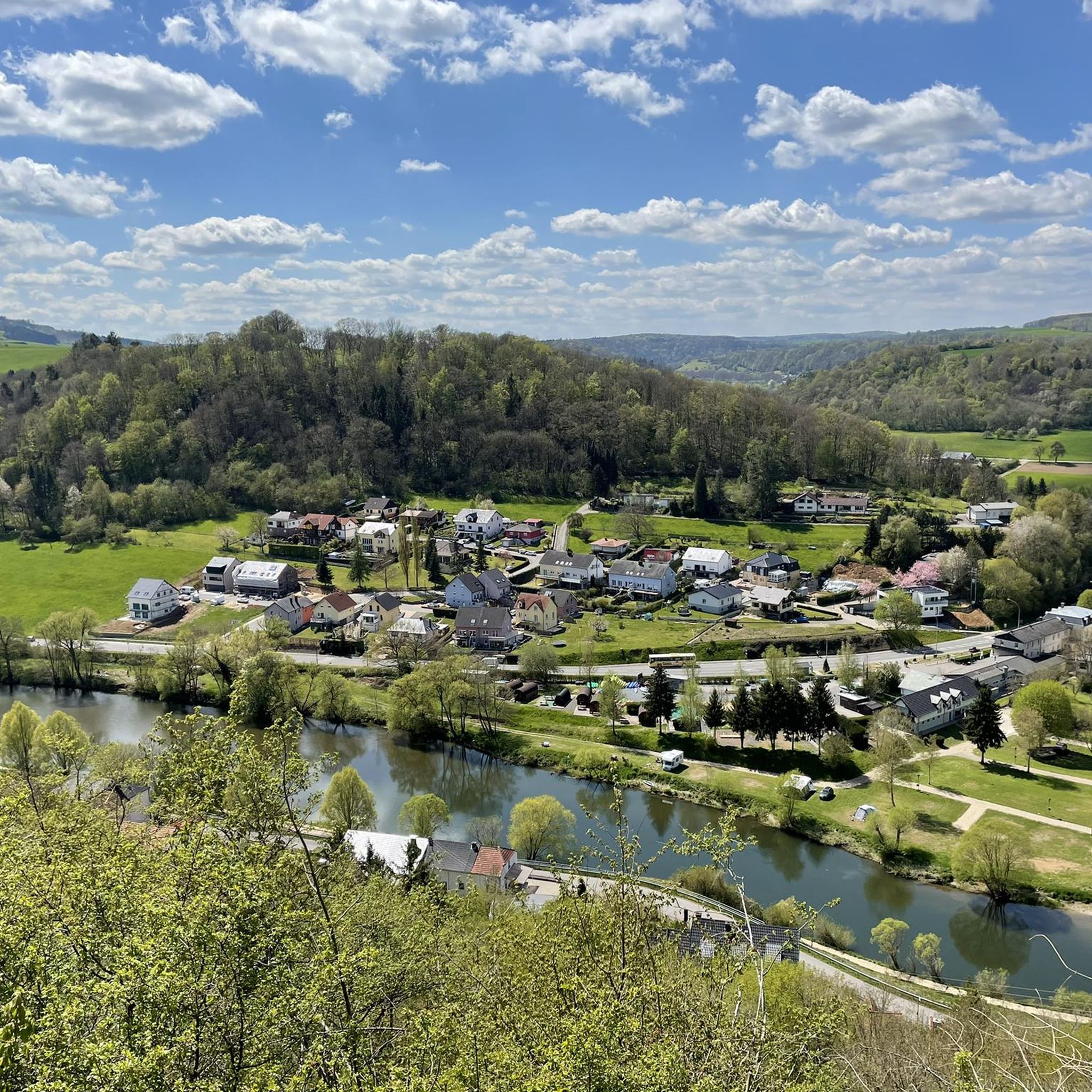
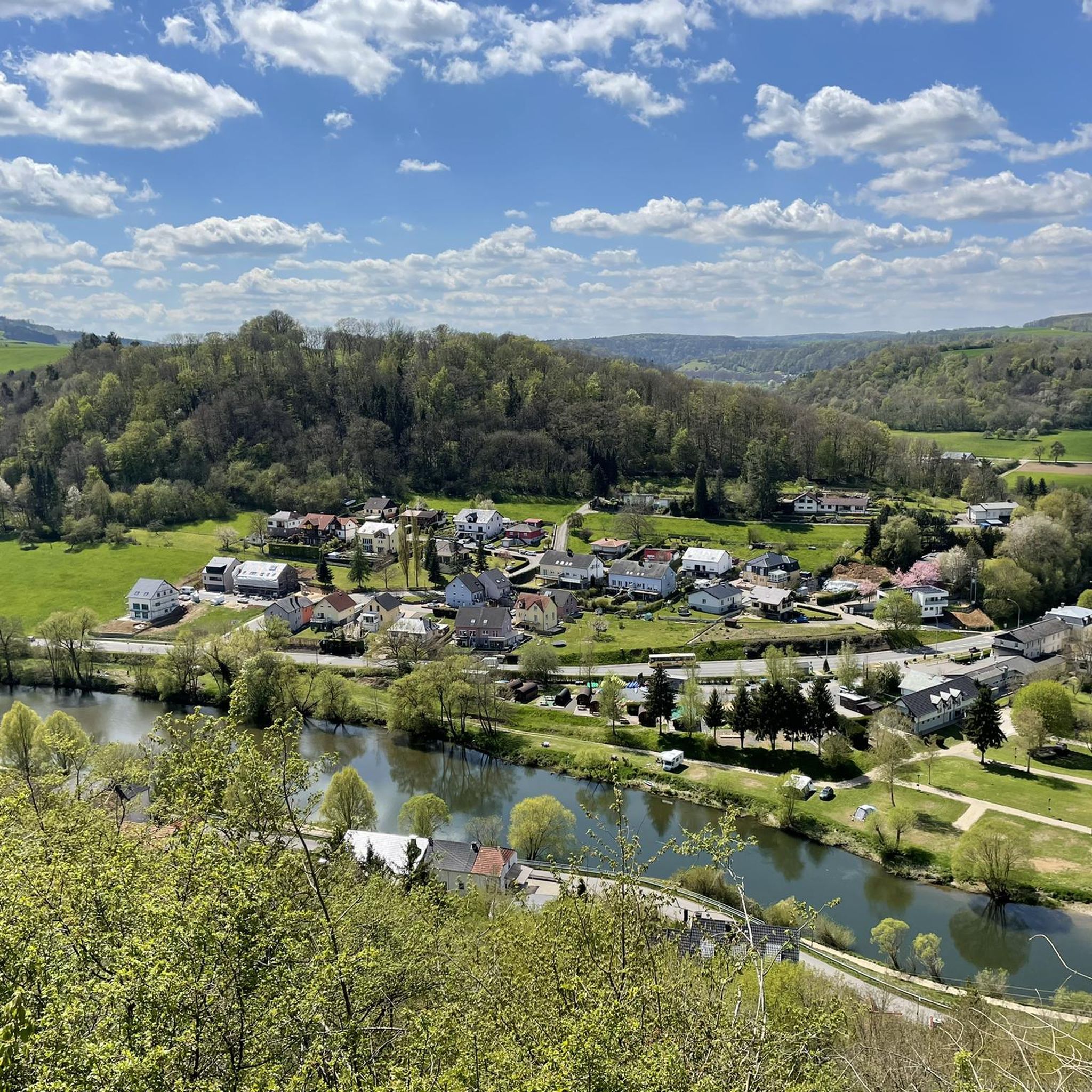

Tips from the Community

Sure-footedness and good footwear are an absolute must here, and then you can really enjoy it. It is also recommended to go during the week rather than on the weekend.
0
0

The amphitheater "Breechkaul" was established in 1979 in a rock hollowed out in the Middle Ages for the extraction of millstones. In summer, well-attended concerts of all kinds are held there. Known and loved far beyond the borders is the "Berdorfer Hubertusmesse" (Haupeschmass) on the first Sunday after November 2nd at 10:45 AM. (Regio Mullerthal)
4
0
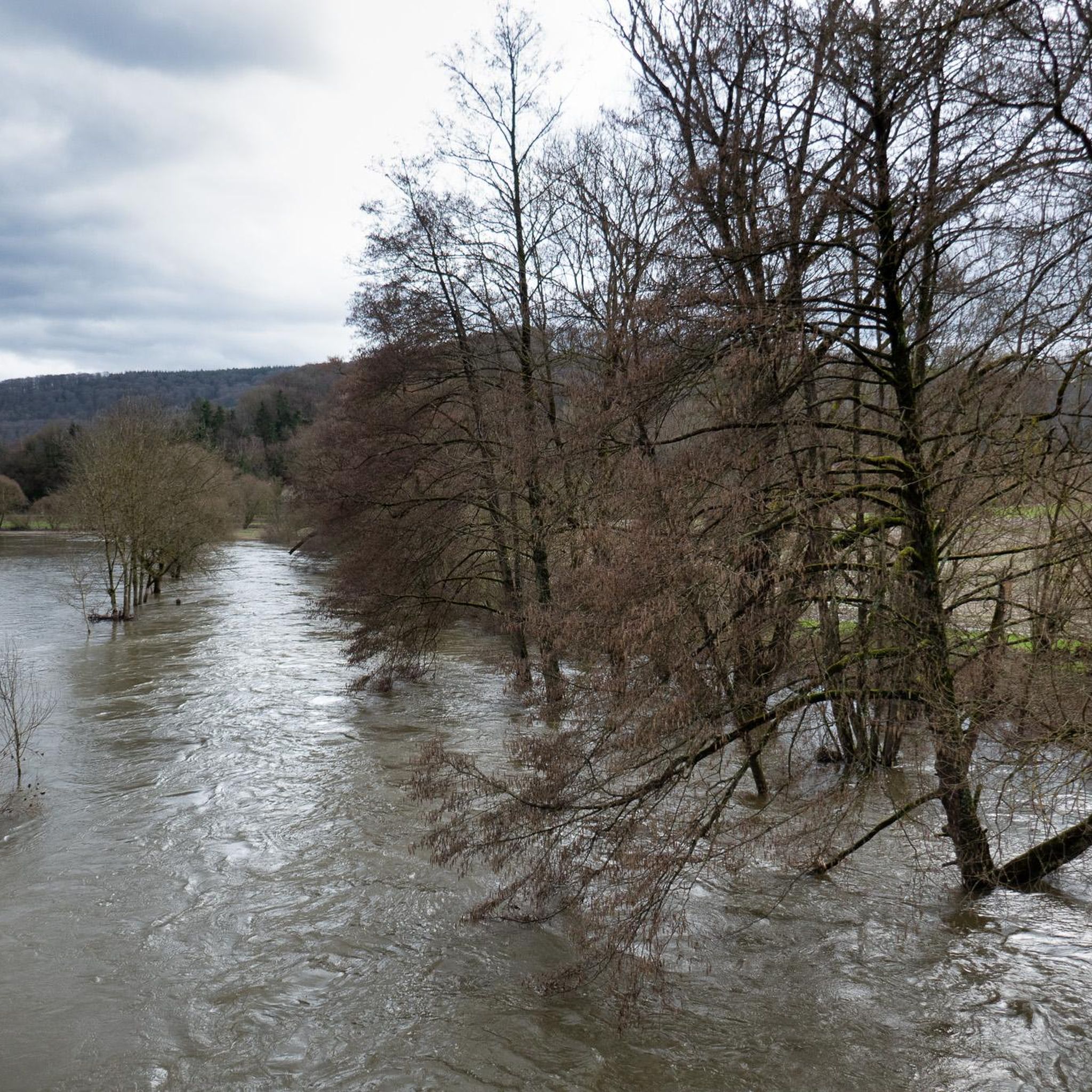
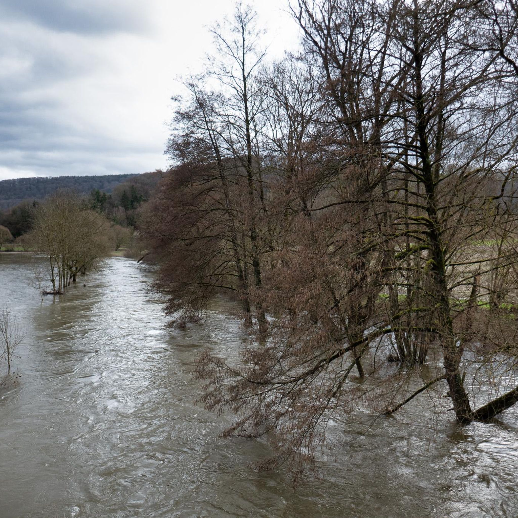
The original wooden structure was washed away by heavy floods in June 2018. A new, flood-safe bridge of approximately 38 meters has now been installed.
4
0
Viewpoint, but with the vegetation in late summer there is not much to see.
7
0
On this part of the rock faces is the only climbing area in the sandstone landscape. Climbing is only permitted for members of recognized climbing associations.
6
0
The romantic gorge of the Ruetsbech will not be easily forgotten. Incredibly beautiful and also a bit mysterious. Enjoy it.
7
0


Beautiful small stone towers that hikers leave there.
0
0
Frequently Asked Questions
What kind of terrain can I expect on mountaineering routes around Wallendorf?
The routes around Wallendorf, particularly those bordering Luxembourg's Mullerthal region, are characterized by dramatic sandstone and dolomite rock formations, dense forests, and picturesque river valleys. You'll encounter challenging terrain with significant elevation changes, uneven stone paths, and narrow passages through gorges and caves. This unique geology has earned the area the nickname "Little Switzerland."
Are there any circular mountaineering routes available in Wallendorf?
Yes, many of the mountaineering routes around Wallendorf are circular, allowing you to start and end at the same point. For instance, the challenging Huel Lee (Hohllay Cave) – Labyrinth Rock Formations loop from Berdorf is a popular circular option, taking you through unique rock formations and cave systems.
Can I find routes suitable for families with children?
While many routes offer a challenging experience, there are options that can be enjoyed by families. Some sections of the trails are described as easy, family-friendly loops. For a moderate experience that might suit older, adventurous children, consider The gorge – View from the Adlerhorst Cliff loop from Berdorf, which offers scenic views and manageable distances.
Are there any routes that feature waterfalls or caves?
Absolutely! The region is rich in natural wonders. You can explore the iconic Schiessentümpel Waterfall and Stone Bridge, a picturesque triple-cascade. For caves, the Huel Lee (Hohllay Cave), a former millstone quarry, is a fascinating highlight. Many routes, like the Huel Lee (Hohllay Cave) – Labyrinth Rock Formations loop from Berdorf, will take you directly past these features.
What are some of the most scenic viewpoints along the mountaineering trails?
The routes offer numerous scenic viewpoints overlooking the river valleys and dramatic landscapes. Highlights include the Pavilion with a view of Echternach and the View from the Lingelslay Observation Tower. The The Overlook – The gorge loop from Bollendorf is specifically known for its scenic vistas over the river valleys and through dramatic gorges.
How many mountaineering routes are there in Wallendorf, and what are their difficulty levels?
There are 18 mountaineering routes around Wallendorf listed in this guide. The routes cater to various ability levels, with 1 easy route, 12 moderate routes, and 5 difficult routes. This variety ensures there's something for everyone, from casual hikers to experienced mountaineers seeking a challenge.
What do other mountaineers say about the routes in Wallendorf?
The mountaineering routes around Wallendorf are highly rated by the komoot community, with an average score of 4.6 stars from over 100 reviews. Mountaineers often praise the unique sandstone formations, the challenging yet rewarding terrain, and the immersive experience of navigating deep gorges and ancient cave systems.
Are there any particularly challenging routes for experienced mountaineers?
Yes, for experienced mountaineers seeking a significant challenge, the region offers several difficult routes. The Labyrinth Rock Formations – Huel Lee (Hohllay Cave) loop from Berdorf is a demanding 20.8 km trail with considerable elevation changes, providing an intense experience through the region's unique geological features.
Are there any specific natural monuments or landmarks to look out for?
Beyond the caves and waterfalls, the region is home to several striking natural monuments. Don't miss the dramatic Devil's Gorge (Teufelsschlucht) with its labyrinthine paths and huge rock towers, or the Labyrinth of Rocks (Felsenlabyrinth) Mullerthal, which offers an immersive experience through narrow rock passages.
Is it possible to access the mountaineering routes using public transport?
While specific public transport connections to every trailhead can vary, Wallendorf is situated at the confluence of the Our and Sauer rivers, forming the border with Luxembourg. The Mullerthal region, which is easily accessible from Wallendorf, has some public transport options. It's advisable to check local bus schedules for connections to towns like Berdorf or Bollendorf, which serve as starting points for many routes.
What kind of gear should I bring for mountaineering in Wallendorf?
Given the challenging terrain, including uneven stone paths, significant elevation changes, and narrow passages through gorges and caves, it's essential to be well-prepared. We recommend sturdy hiking boots with good ankle support, appropriate layers of clothing for varying weather conditions, a headlamp or flashlight for navigating darker cave sections, and sufficient water and snacks. Trekking poles can also be beneficial on steeper sections.
Are there any routes that pass by places to eat or rest?
Many routes in the Wallendorf and Mullerthal regions are designed to pass through or near charming villages and towns like Berdorf and Bollendorf, where you can find cafes, pubs, and accommodations. While specific routes might not have facilities directly on the trail, planning your hike to include a stop in one of these towns is often possible. For example, the Predigtstuhl (Preacher's Chair) rock formation – Binzeltschlüff loop from Berdorf starts and ends in Berdorf, offering opportunities for refreshments.
Most popular routes around Wallendorf
Most popular attractions around Wallendorf

Get inspired with the komoot mobile app


Explore more
Browse the best Mountain Hikes & Routes in other regions.
