The best road cycling routes around Saint-Symphorien-De-Marmagne
4.7
(59)
3,028
riders
344
rides
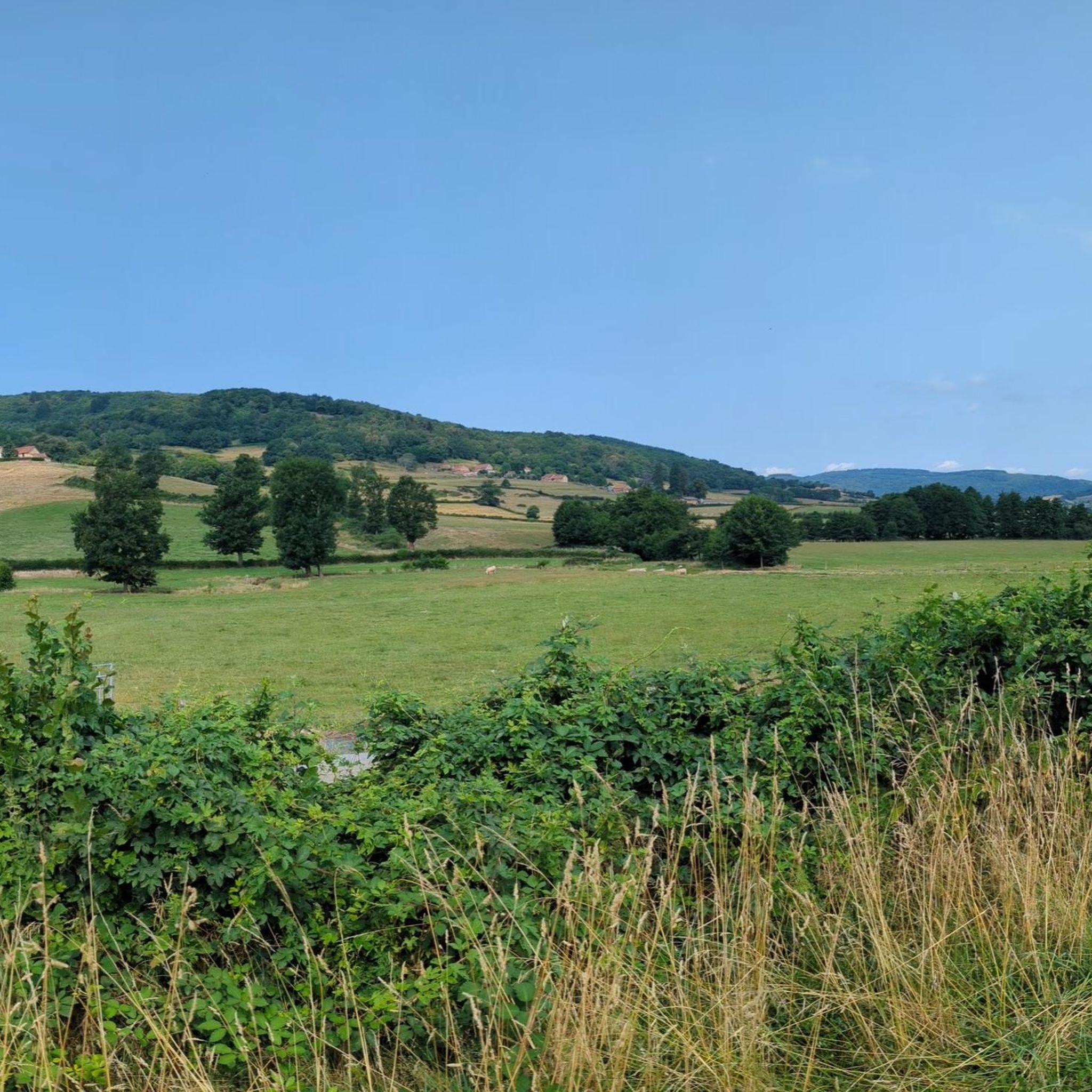
Road cycling routes around Saint-Symphorien-De-Marmagne traverse a landscape characterized by rolling hills and dense woodlands. The region features varied terrain, including both moderate ascents and more challenging climbs, suitable for different levels of road cyclists. Roads often wind through rural areas, offering views of the French countryside. This area provides a network of routes for exploring the local geography by road bike.
Best road cycling routes around Saint-Symphorien-De-Marmagne
- The most popular road cycling route is Charbonnat Church – Charbonnat loop…
Last updated: July 6, 2026
3.0
(1)
35
riders
Moderate road ride. Good fitness required. Mostly well-paved surfaces and easy to ride.
11
riders
45.9km
02:01
420m
420m
Moderate road ride. Good fitness required. Mostly well-paved surfaces and easy to ride.

Sign up for free
7
riders
50.6km
02:12
470m
470m
Moderate road ride. Good fitness required. Mostly well-paved surfaces and easy to ride.
9
riders
42.2km
02:06
570m
570m
Moderate road ride. Good fitness required. Mostly well-paved surfaces and easy to ride.
13
riders
66.9km
03:08
710m
710m
Moderate road ride. Good fitness required. Some segments of this route may be unpaved and difficult to ride.
Get access to more routes and recommendations from other explorers.
Sign up for free
Already have an account?
Our route recommendations are based on thousands of hikes, rides, and runs completed by other people on komoot.
Start today with a free account
Your next adventure awaits.
Login or Signup

Tips from the Community

Each of these crosses, which the hiker often encounters in the fields or (as here) on a prominent mountain location high above the city, is a sign of remembrance of the crucifixion and resurrection of Jesus Christ. "Here on earth there is His memory, but in the kingdom of heaven there is His presence: this presence is the joy of those who have already attained salvation. The memory is our consolation, as we are still wanderers and journeying towards our homeland." (Bernard of Clairvaux)
1
0


Canal routes invite you to cycle briskly
0
1
Canal stretches are wonderful to pull through
0
0

Considerably steep climb from Autun to the 595 m pass. The road goes through forests, and there are a few cars, so be careful on the turns.
3
1
Very good quality road in the forest, partially shaded, without cars because of the cycle path. In total, the Canal du Center greenway is 129 km long and goes from Chalon to Digoin.
1
0
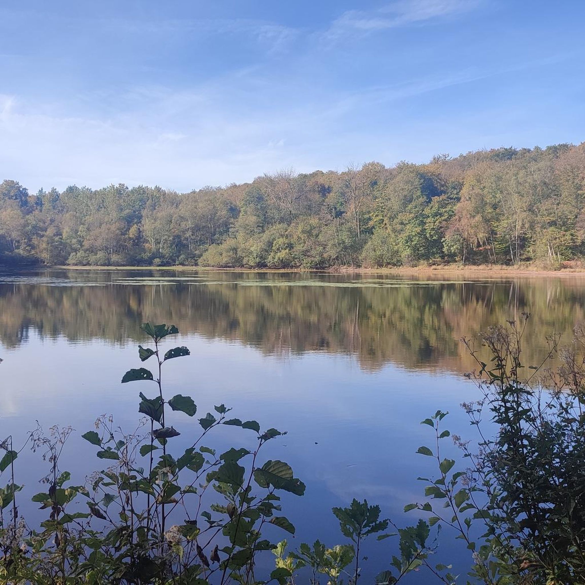
This good quality gravel path leads to the pond where you can swim or picnic at the edge.
0
0

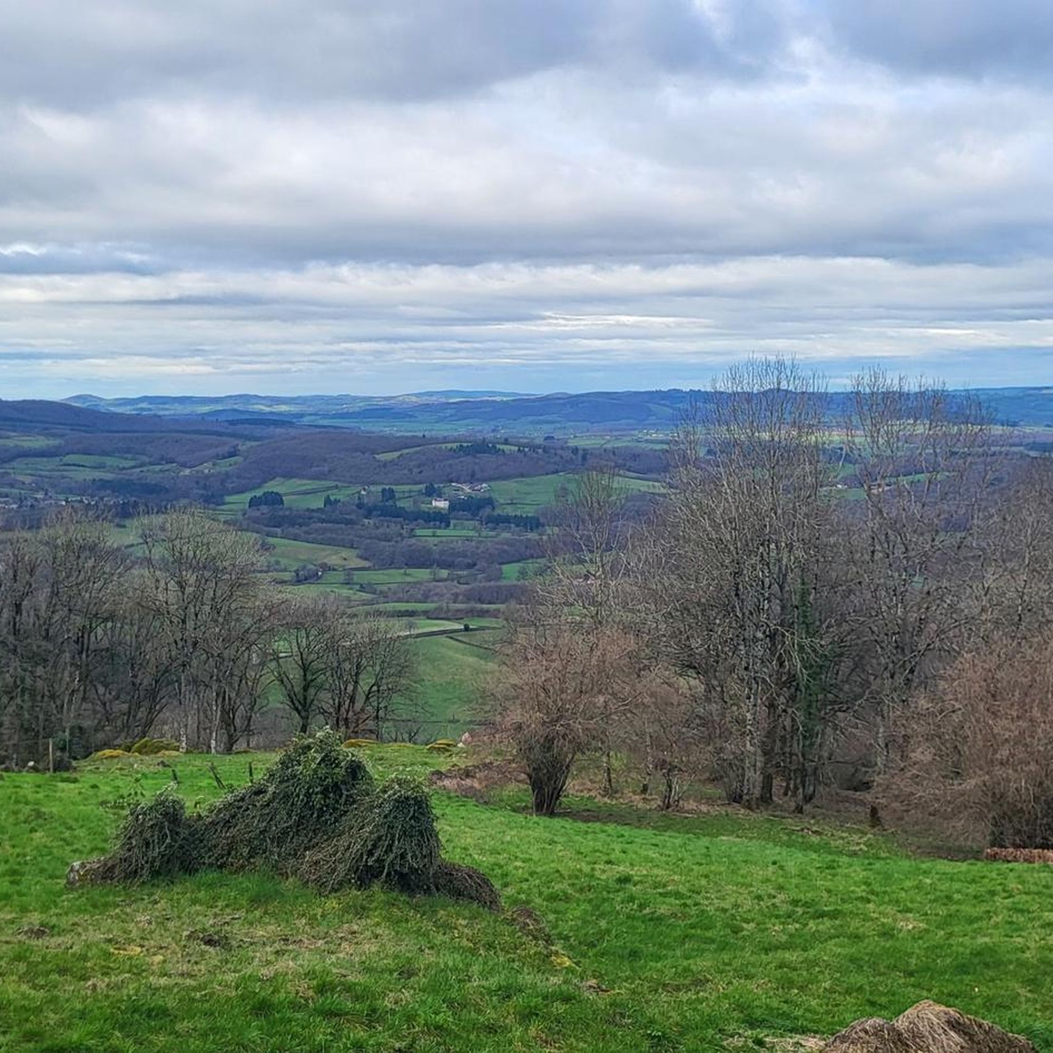
Gigantic cross erected in 1945 commemorating the Liberation of Autun. Impressive panorama! The site also offers leisure sports activities such as downhill mountain biking, hang gliding and hiking circuits.
1
0
Frequently Asked Questions
How many road cycling routes are available around Saint-Symphorien-De-Marmagne?
There are over 300 road cycling routes in the Saint-Symphorien-De-Marmagne area, offering a wide range of options for different skill levels and preferences.
Are there road cycling routes suitable for beginners in Saint-Symphorien-De-Marmagne?
Yes, the region offers over 20 easy road cycling routes. These typically feature gentler gradients and shorter distances, perfect for those new to road cycling or looking for a relaxed ride through the French countryside.
Where can I find challenging road cycling routes with significant climbs?
For experienced cyclists seeking a challenge, there are over 120 difficult routes. A notable option is the Col de la Porolle – Haut-Folin Pass loop from Broye, which covers 63.2 miles (101.8 km) and includes significant elevation gain, passing through forested areas and offering panoramic views.
What are some options for long-distance road cycling in the area?
If you're looking for longer rides, the region has several routes exceeding 60 miles. Consider the Saint-Prix – La Canche Pond loop from Broye, a 75.0 miles (120.7 km) trail that leads through rural landscapes and past local ponds, offering an extensive exploration of the area.
Are there many circular road cycling routes around Saint-Symphorien-De-Marmagne?
Most of the road cycling routes in Saint-Symphorien-De-Marmagne are designed as loops, allowing you to start and finish at the same point. An example is the Oratoire de la Belle-Croix – Vauvillard Pond loop from Broye, a moderate 28.6 km ride.
What kind of terrain can I expect on road cycling routes here?
The terrain around Saint-Symphorien-De-Marmagne is characterized by rolling hills and extensive woodlands. You'll encounter a mix of moderate ascents and more challenging climbs, with roads often winding through rural areas and offering views of the French countryside.
What attractions can I see along the road cycling routes?
Many routes pass by interesting natural and historical sites. You might encounter natural monuments like the Signal d'Uchon – Rochers du Carnaval or the Brisecou Waterfall. Historical landmarks such as the Cathedral of Autun or The Couhard Pyramid are also within reach.
What do other road cyclists enjoy the most about road cycling in Saint-Symphorien-De-Marmagne?
The area is highly rated by the komoot community, with an average score of 4.8 stars from over 40 reviews. Reviewers often praise the varied terrain, from rolling hills to challenging climbs, and the scenic routes through rural landscapes and woodlands.
Are there any routes that pass by lakes or ponds?
Yes, several routes incorporate local water features. The Saint-Prix – La Canche Pond loop from Broye is one such route that takes you past local ponds, offering serene views during your ride.
What is the best season for road biking in Saint-Symphorien-De-Marmagne?
Spring and autumn generally offer the most pleasant conditions for road cycling, with milder temperatures and beautiful scenery. Summer can also be excellent, though it's advisable to start earlier in the day to avoid the midday heat.
Are there any routes that offer views of historical castles or châteaux?
Yes, some routes provide glimpses of local heritage. The Château du Breuil loop from Broye is a moderate 50.6 km route that passes by the historic Château du Breuil, offering a cultural highlight to your ride.
Where can I find viewpoints along the road cycling routes?
The region features several viewpoints that can be incorporated into your rides. The Signal d'Uchon – Rochers du Carnaval is a well-known spot offering expansive views, often accessible from various routes in the area.
Most popular routes around Saint-Symphorien-De-Marmagne
Most popular attractions around Saint-Symphorien-De-Marmagne

Get inspired with the komoot mobile app


Explore more
Browse the best Road cycling routes in other regions.
