The best walks and hikes around Bazoches-Au-Houlme
4.5
(1032)
5,421
hikers
167
hikes
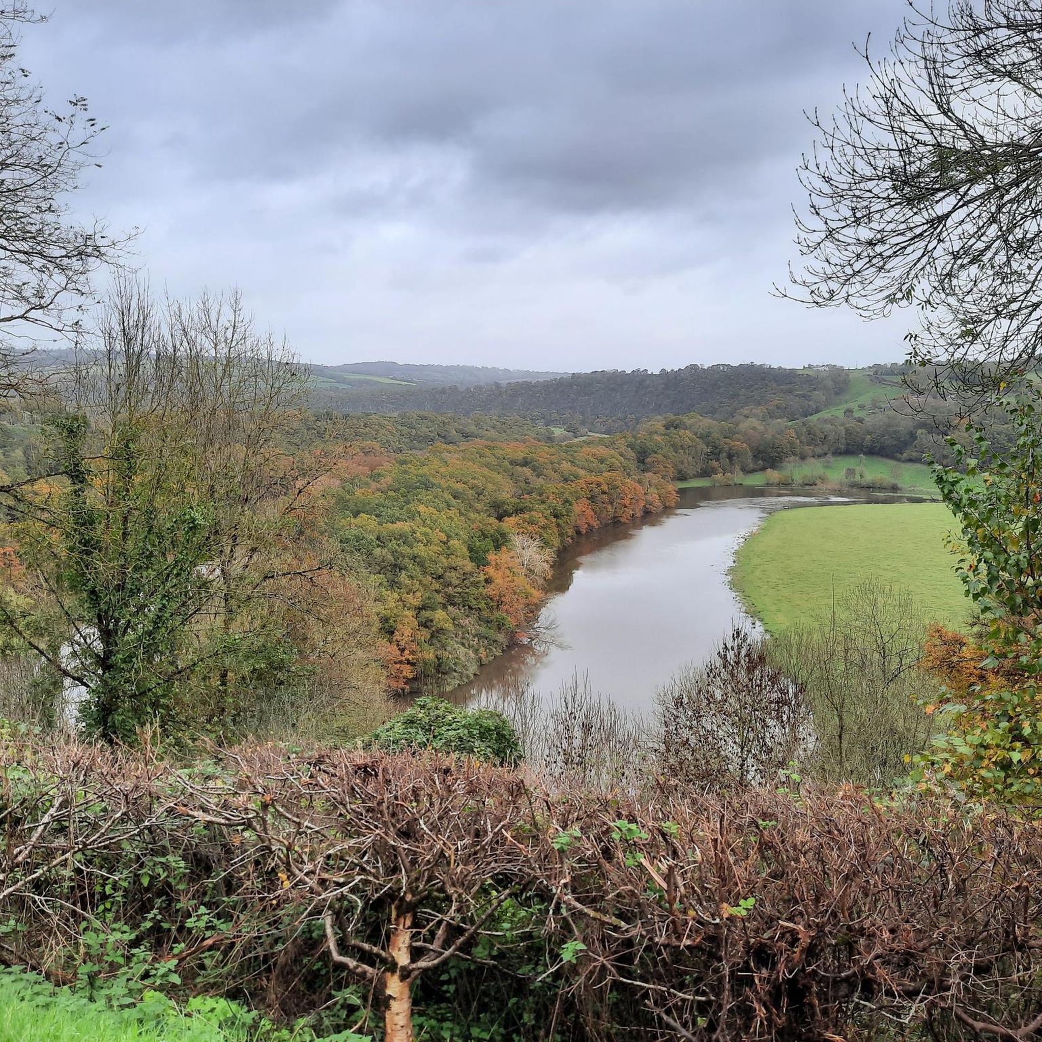
Hiking around Bazoches-Au-Houlme offers diverse landscapes within the Orne department of Normandy. The region features a varied topography, ranging from 90 meters to 230 meters, contributing to both gentle and more strenuous paths. The area is characterized by a rich hydrographic network, including the Baize river flowing into the Orne River, creating lush valleys and riverside trails. Natural landmarks like La Roche d'Oëtre provide dramatic views and challenging routes.
Best hiking trails around Bazoches-Au-Houlme
- The most popular hiking route is…
Last updated: July 5, 2026
4.5
(35)
135
hikers
16.4km
04:36
330m
320m
Moderate hike. Good fitness required. Easily-accessible paths. Suitable for all skill levels.
4.6
(8)
13
hikers
12.4km
03:16
120m
120m
Moderate hike. Good fitness required. Easily-accessible paths. Suitable for all skill levels.

Sign up for free
4.6
(7)
32
hikers
8.48km
02:21
150m
150m
Moderate hike. Good fitness required. Easily-accessible paths. Suitable for all skill levels.
3.3
(3)
20
hikers
12.6km
03:30
230m
230m
Moderate hike. Good fitness required. Easily-accessible paths. Suitable for all skill levels.
2.2
(6)
12
hikers
5.90km
01:37
100m
100m
Easy hike. Great for any fitness level. Easily-accessible paths. Suitable for all skill levels.
Get access to more routes and recommendations from other explorers.
Sign up for free
Already have an account?
Our route recommendations are based on thousands of hikes, rides, and runs completed by other people on komoot.
Start today with a free account
Your next adventure awaits.
Login or Signup



Tips from the Community

Path little or not at all practicable on many sectors: at the start, you have to cross a forest of nettles and brambles, the small bridge over the Orne is closed by municipal order and between markers 5 and 7, the track is lost (fallen trees, brambles etc.) we had to turn back and take the road.
0
0

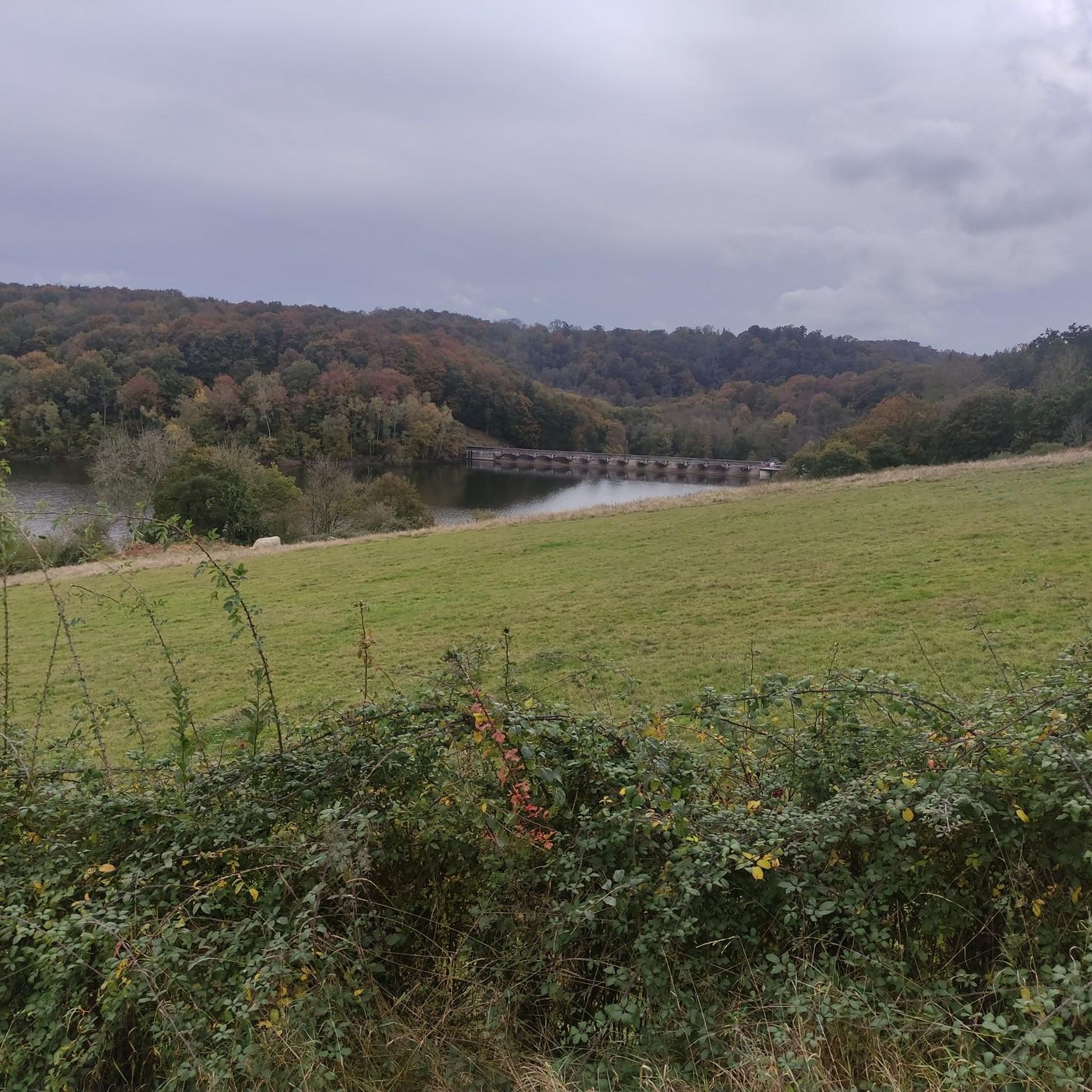
An artificial pool situated in a wild and beautiful landscape, surrounded by forests. Supervised swimming is possible.
0
0

The town has two old market halls dating back to the 17th and 18th centuries. While one of them has been closed for renovation into a community hall, the second has remained open and hosts local events and hikers looking for a pleasant spot to picnic and rest.
0
0
End of June 25: The section along the lake is almost completely overgrown. There's thickets of thorns and nettles, and numerous trees have fallen across it. Although I enjoy tackling jungle, it's no fun over such a long stretch.
0
0
Even if you follow white-red it ends completely dead on fallen trees, really no way through. We also had to turn around after almost 2 kilometers. This was noted on May 3, 2025.
1
0
Good tip, I only see it now at the end of the route :) We walked past the dam but didn't feel comfortable. Survival…
0
0

Many nice descents but be prepared for long winding roads up too. Easy to follow Velo Francette (43) Signage to Clecy from here. look out for taps in the church grounds if need to fill up on water. Breathe taking Scenery.
2
0
Many fallen trees, etc. Route not really clear or accessible, lots of climbing. Many possible paths. Route Broken off and inverted. Shame
3
0
Frequently Asked Questions
What kind of terrain can I expect when hiking around Bazoches-Au-Houlme?
The region offers a diverse topography, with altitudes ranging from 90 to 230 meters. You'll find a mix of gentle paths and more strenuous climbs. The area is characterized by a rich network of rivers and tributaries, including the Baize flowing into the Orne River, which creates lush valleys and picturesque riverside trails. Natural landmarks like La Roche d'Oëtre also contribute to dramatic views and varied landscapes.
How many hiking trails are available in the Bazoches-Au-Houlme area?
There are over 150 hiking trails around Bazoches-Au-Houlme, catering to various skill levels. This includes 60 easy routes, 87 moderate routes, and a few more challenging options for experienced hikers.
Are there any easy or beginner-friendly hiking trails in Bazoches-Au-Houlme?
Yes, there are 60 easy routes suitable for beginners or those looking for a relaxed stroll. An example is the Lac de Rabodanges – Rabodanges Dam loop from Sainte-Croix-sur-Orne, which is 6.3 km long and features an elevation gain of less than 100 meters.
What are some scenic viewpoints or natural landmarks to see on a hike?
A prominent natural landmark is La Roche d'Oëtre, known for its dramatic views. The area's extensive hydrographic network also provides many picturesque riverside paths along the Orne River and its tributaries. You might also encounter the historic Le Pont des Vers, an old stone bridge spanning the Orne River.
Are there any historical sites or castles I can visit while hiking?
Yes, the region blends natural beauty with historical interest. You can explore sites like Rabodanges Castle and its adjacent stud farm, or the Castle of William the Conqueror. Bazoches-au-Houlme itself has historical significance, with vestiges of a 15th-century castle featuring a watchtower.
What is the typical elevation gain on hikes around Bazoches-Au-Houlme?
Elevation gains vary significantly depending on the trail. For example, the Suisse Normande Tour has an elevation gain of approximately 328 meters, while the Ergoutel Pond Loop has about 120 meters of ascent. The diverse topography means you can find routes with minimal gain or more significant climbs.
Are there any circular hiking routes available?
Yes, many routes in the area are circular, allowing you to start and end at the same point. Examples include the Ergoutel Pond Loop and the Saint-Laurent Church – Viewpoint loop from Le Mesnil-Villement, which are popular choices for their scenic views and convenience.
What do other hikers say about the trails in Bazoches-Au-Houlme?
The hiking routes in Bazoches-Au-Houlme are highly rated by the komoot community, with an average score of 4.5 stars from over 800 reviews. Hikers often praise the varied terrain, lush river valleys, and the natural landmarks that define the area.
What is the best time of year to go hiking in Bazoches-Au-Houlme?
The region's natural beauty can be enjoyed throughout much of the year. Spring and autumn offer pleasant temperatures and vibrant scenery, with lush greenery or colorful foliage. Summer is also popular, though trails can be busier. Winter hiking is possible, but conditions may vary, so checking local weather is always recommended.
Are there any longer, more challenging hikes in the area?
While most routes are easy to moderate, there are a few more challenging options. For instance, the Suisse Normande Tour is a moderate 16.4 km trail that takes around 4 hours 35 minutes to complete, offering a good challenge with significant elevation changes.
Are there any trails that pass by lakes or ponds?
Yes, the area features several routes that include water bodies. The Ergoutel Pond Loop is a prime example, offering scenic views around Ergoutel Pond. Another option is the Lac de Rabodanges – Le Vieux-Putanges loop from Les Safrières, which explores the surroundings of Lac de Rabodanges.
Most popular routes around Bazoches-Au-Houlme
Most popular attractions around Bazoches-Au-Houlme

Get inspired with the komoot mobile app


Explore more
Browse the best Hikes in other regions.
