The best running trails around Giel-Courteilles
4.3
(5)
561
runners
80
runs
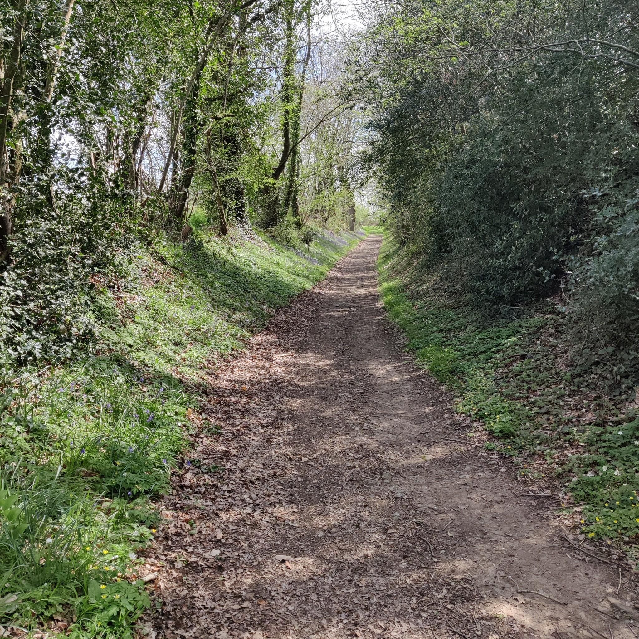
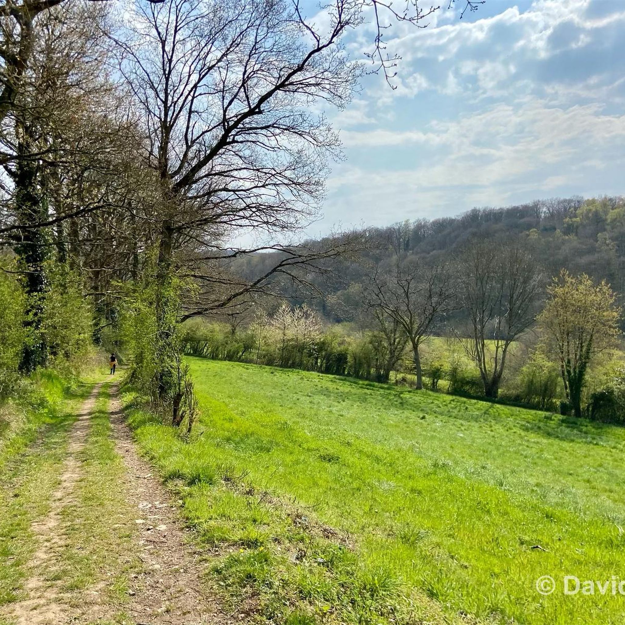
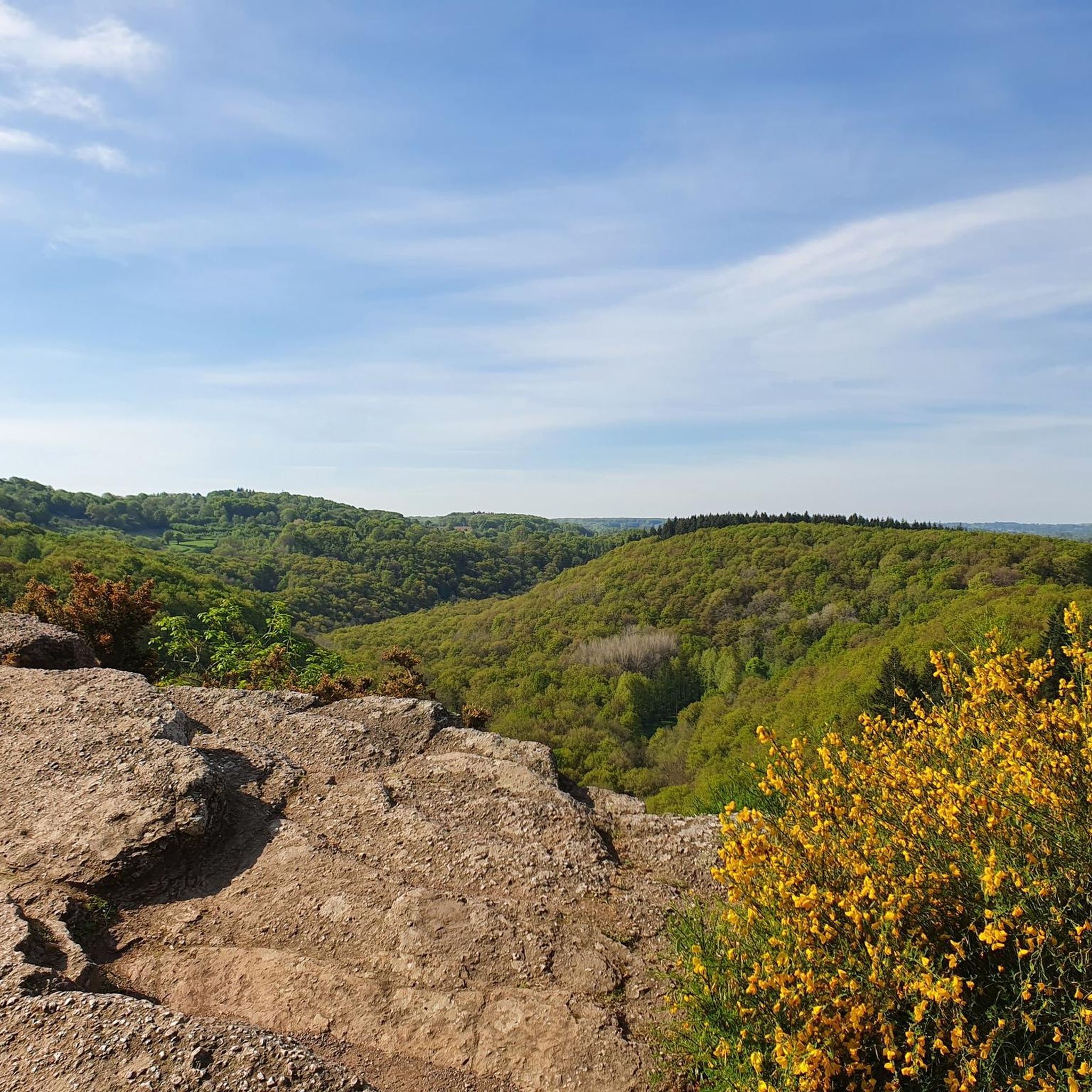
Jogging around Giel-Courteilles offers diverse terrain within the "Suisse Normande" area, characterized by rolling hills and undulating topography. The commune features an altitude range from 124 meters to 252 meters, providing varied elevation changes for runners. The Orne River and its tributaries flow through the region, offering flat, scenic routes alongside waterways. Expansive green spaces, including meadows and forests, provide tranquil environments ideal for running.
Best jogging routes around Giel-Courteilles
- The most popular jogging route is ND de la Pitié…
Last updated: July 9, 2026
23
runners
17.6km
01:59
260m
260m
Hard run. Very good fitness required. Mostly paved surfaces. Suitable for all skill levels.
13
runners
15.8km
01:47
270m
270m
Hard run. Very good fitness required. Mostly paved surfaces. Suitable for all skill levels.

Sign up for free
11
runners
20.0km
02:23
310m
310m
Hard run. Very good fitness required. Mostly paved surfaces. Suitable for all skill levels.
17
runners
22.1km
02:38
330m
330m
Hard run. Very good fitness required. Mostly paved surfaces. Suitable for all skill levels.
11
runners
8.97km
01:05
170m
180m
Moderate run. Good fitness required. Mostly paved surfaces. Suitable for all skill levels.
Get access to more routes and recommendations from other explorers.
Sign up for free
Already have an account?
Our route recommendations are based on thousands of hikes, rides, and runs completed by other people on komoot.
Start today with a free account
Your next adventure awaits.
Login or Signup
Tips from the Community

An artificial pool situated in a wild and beautiful landscape, surrounded by forests. Supervised swimming is possible.
0
0

Mesnil-Glaise is a small village typical of Norman Switzerland. There we discover an imposing castle, dating from the 19th century, which overlooks the Orne river. A small bucolic path allows you to stroll following the meanders of the river.
1
0
Small village in the heart of Suisse Normande born from the merger of two municipalities. It is located on a hillside overlooking a loop of the Orne river. The granite buttresses on which the old houses are built serve as their base. There is a beautiful church and a small pond nearby, dining options, a hotel and a campsite.
1
0

Large lake in the Orne department, located in Suisse Normande. Artificial lake, but very well preserved and landscaped, you can walk there, with even the presence of a restaurant boat during the holidays!
0
0

Saint Roch (Saint-ROCH), to whom this chapel is dedicated as patron, was born in Montpellier, France, in the middle of the 14th century. He is popularly considered – along with Saint Sebastian – to be the “plague saint”. What is characteristic of the depiction of Rochus in paintings and as statues is that he usually points to a plague boil on his leg; A dog can often be seen at his feet, because according to legend, when he was caring for plague patients, he himself fell ill with it and retreated into solitude, providing him with bread every day. Saint-ROCH's memorial day in the calendar of saints is August 16th.
0
0

Superb place, calm, on the borders of the Suisse Normande.
0
0

The history of Lake Rabodanges begins in 1919, when a first study was carried out by the Norman Society of Studies for the development of the Orne basin and its tributaries. The bed of the Orne presents, over four kilometers, from the entrance to the exit of the Gorges de St-Aubert, an exceptional gradient that cannot be found anywhere else in Normandy: of the order of 40 meters . In addition, the narrowness of the valley, at the entrance of these gorges, joined to a splendid natural basin developing upstream, enabled engineers to plan the ambitious work of a dam and a reservoir of important water. The Rabodanges basin allows storage of 6 million m3 of water, over 95 hectares, retained by a dam 160 meters long and 17 meters high. Source: http://www.office-tourisme-putanges.com
1
0
The history of Lake Rabodanges begins in 1919, the date when a first study was established by the Société Normande d’études pour l’development of the Orne basin and its tributaries. The bed of the Orne presents, over four kilometers, from the entrance to the exit of the Gorges de St-Aubert, an exceptional slope that is not encountered anywhere else in Normandy: of the order of 40 meters . Furthermore, the narrowness of the valley at the entrance to these gorges, combined with a splendid natural basin developing upstream, allowed engineers to plan the ambitious work of a dam and a reservoir. significant water. The Rabodanges basin allows storage of 6 million m3 of water, over 95 hectares, retained by a dam 160 meters long and 17 meters high. Source: http://www.office-tourisme-putanges.com
1
0
Frequently Asked Questions
How many running routes are available in Giel-Courteilles?
There are over 75 running routes around Giel-Courteilles, offering a wide variety of options for different fitness levels and preferences.
What kind of terrain can I expect when jogging in Giel-Courteilles?
Giel-Courteilles is located within the 'Suisse Normande' area, so you can expect diverse terrain with rolling hills, varied elevation changes, and verdant scenery. Routes often feature a mix of meadows, forests, and paths alongside the Orne River and its tributaries, providing both challenging inclines and flat, scenic stretches.
Are there easy running routes suitable for beginners or families?
Yes, Giel-Courteilles offers several easy running routes. There are 6 routes specifically categorized as easy, perfect for beginners or those looking for a more relaxed jog. These paths generally have minimal elevation gain and are suitable for a leisurely pace.
Can I bring my dog on the running trails in Giel-Courteilles?
Many trails in natural areas like Giel-Courteilles are dog-friendly, especially those away from private land or protected wildlife zones. It's always recommended to keep your dog on a leash and ensure they are well-behaved, particularly in areas with livestock or other trail users. Check specific route details on komoot for any restrictions.
Are there any circular running routes in the area?
Yes, many of the running routes around Giel-Courteilles are circular, allowing you to start and finish at the same point. An example is the Bois de Montgaroult loop from Monts-sur-Orne, a moderate 8.8 km trail that takes you through varied landscapes.
What are some scenic points or landmarks I can see while running?
While running in Giel-Courteilles, you might encounter various scenic points and historical landmarks. Notable attractions in the wider area include the historic Rabodanges Castle and the serene Old Saint-Aubert Church. The routes often pass through picturesque forests and along the Orne River, offering natural beauty.
What do other runners say about the trails in Giel-Courteilles?
The running routes in Giel-Courteilles are highly rated by the komoot community, with an average score of 4.5 stars from 3 reviews. Over 500 runners have used komoot to explore the varied terrain, often praising the natural beauty and diverse landscapes of the 'Suisse Normande' region.
Are there challenging running routes for experienced runners?
Absolutely. For experienced runners seeking a challenge, Giel-Courteilles offers 18 difficult routes. These trails feature significant elevation changes and longer distances. A good example is the ND de la Pitié – Bridge over the Orne loop from Écouché-les-Vallées, a difficult 19.5 km path with notable ascents and descents.
Where can I find parking near the running routes in Giel-Courteilles?
Parking availability varies by route starting point. Many routes, especially those starting from villages like Écouché-les-Vallées or Putanges-Pont-Écrepin, will have designated public parking areas. It's advisable to check the specific route details on komoot for information on recommended parking spots near the trailhead.
What is the best season for running in Giel-Courteilles?
Giel-Courteilles offers good running conditions throughout much of the year. Spring and autumn provide pleasant temperatures and beautiful scenery with changing foliage. Summer can be warm, but the abundant forests offer shaded trails. Winter running is also possible, though some paths might be muddy or slippery depending on recent weather.
Are there any routes that follow the Orne River?
Yes, the Orne River flows through the commune, and several running routes take advantage of its scenic banks. Running alongside the river offers flatter sections and picturesque views. The ND de la Pitié – Bridge over the Orne loop from Écouché-les-Vallées, for instance, features scenic views along the Orne River.
How long are the running routes generally in Giel-Courteilles?
The running routes in Giel-Courteilles vary significantly in length. You can find shorter routes, with the shortest being around 5 km, up to longer, more challenging runs exceeding 20 km. For example, the Lake Rabodanges – Lac de Rabodanges loop from Putanges-Pont-Écrepin is 22.1 km long.
Most popular attractions around Giel-Courteilles

Get inspired with the komoot mobile app


Explore more
Browse the best Running Trails & Routes in other regions.
