The best running trails around Oberhausen an der Appel
4.5
(54)
793
runners
62
runs
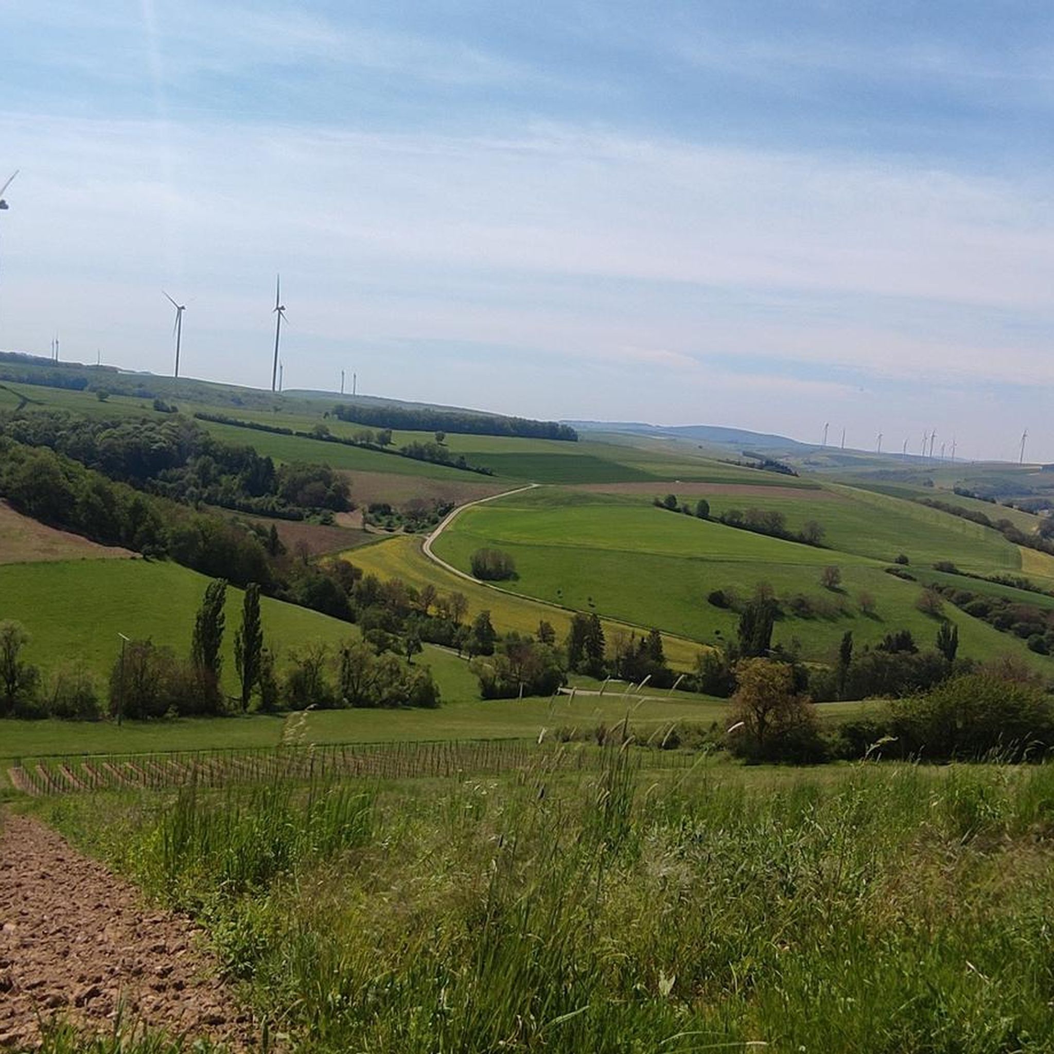
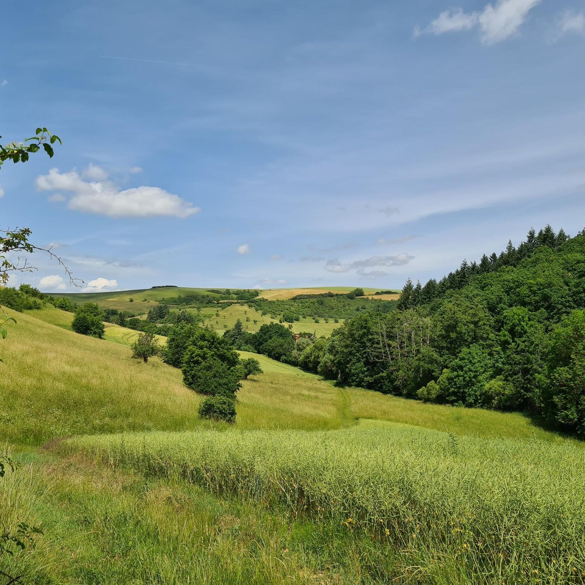
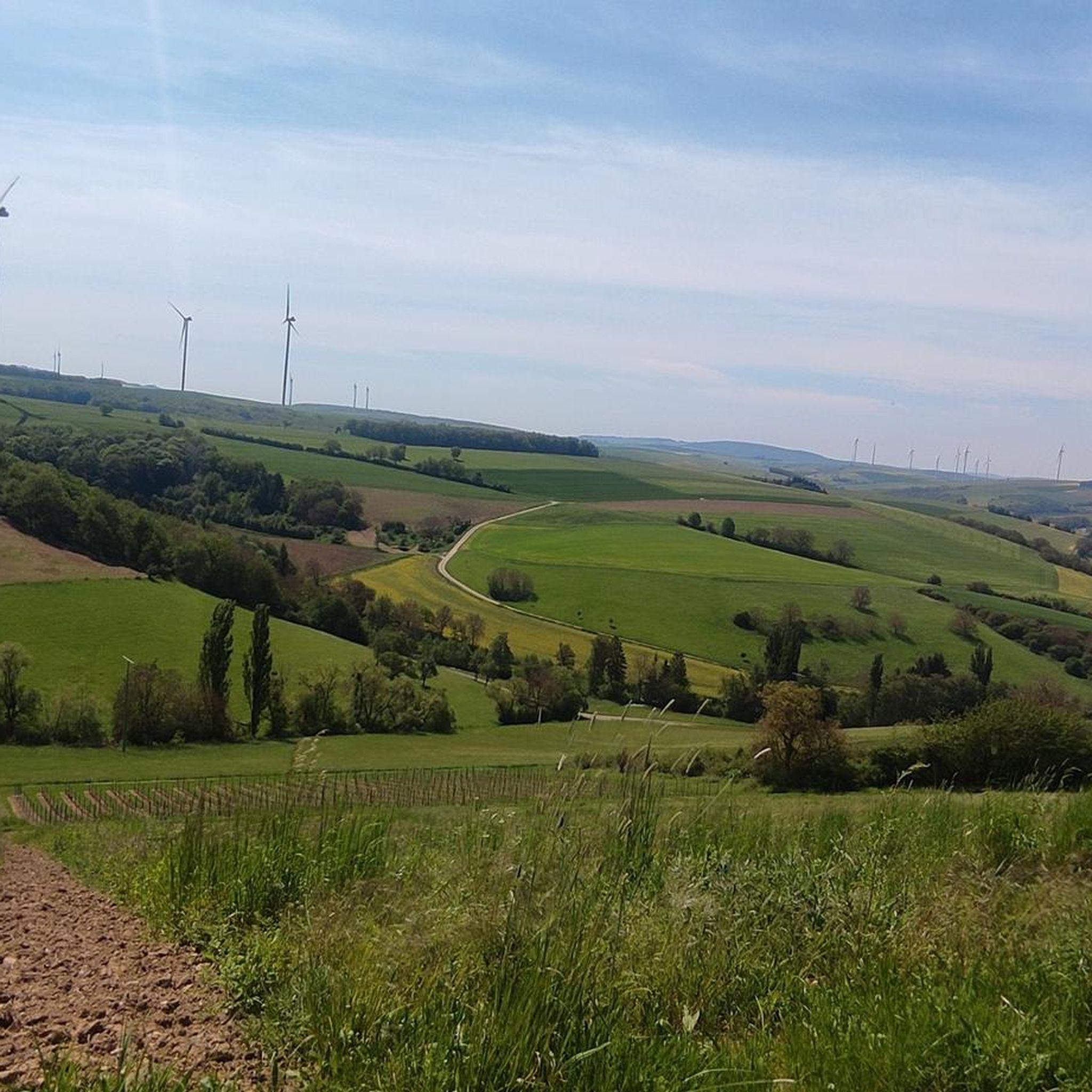
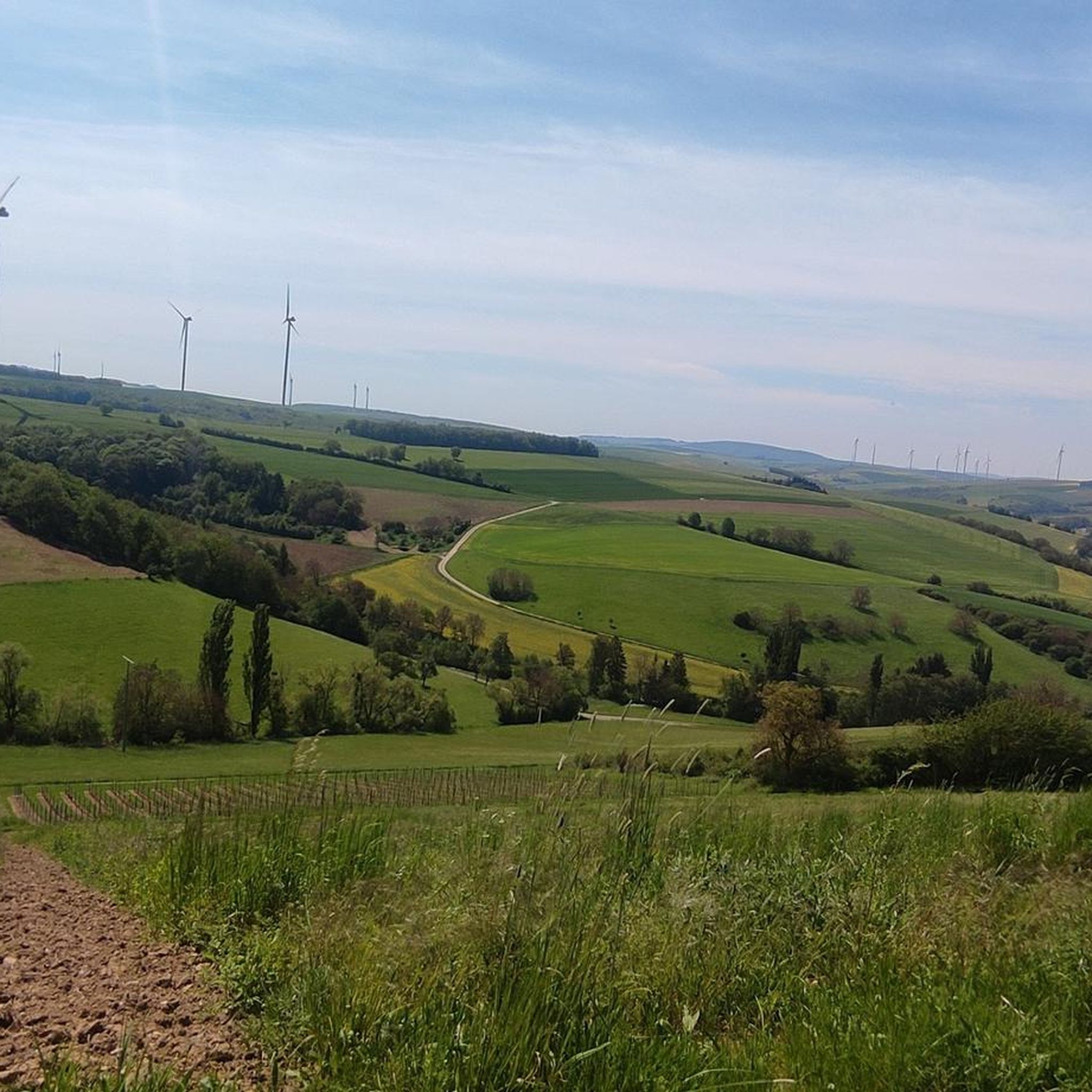
Jogging routes around Oberhausen an der Appel traverse a diverse landscape in the Donnersbergkreis district of Rhineland-Palatinate, Germany. The region features a variety of running and walking trails, many with mostly paved surfaces. Terrain includes elevated viewpoints, such as the Donnersberg, and impressive geological formations like the Rotenfels cliff. Routes offer varying elevations and lengths, accommodating different fitness levels.
Best jogging routes around Oberhausen an der Appel
- The most popular jogging route is Running loop from Gerbach, a 4.2…
Last updated: October 13, 2026
3.7
(3)
20
runners
6.79km
00:46
180m
180m
Moderate run. Good fitness required. Mostly paved surfaces. Suitable for all skill levels.
5.0
(3)
16
runners
7.96km
00:56
210m
210m
Moderate run. Good fitness required. Mostly paved surfaces. Suitable for all skill levels.

13
runners
Hard run. Very good fitness required. Mostly paved surfaces. Suitable for all skill levels.
4
runners
12.3km
01:25
240m
240m
Moderate run. Good fitness required. Mostly paved surfaces. Suitable for all skill levels.
5.0
(2)
6
runners
2.94km
00:19
30m
30m
Easy run. Great for any fitness level. Mostly paved surfaces. Suitable for all skill levels.
Get access to more routes and recommendations from other explorers.
Already have an account?
Our route recommendations are based on thousands of hikes, rides, and runs completed by other people on komoot.
Start today with a free account
Your next adventure awaits.
Tips from the Community

The pedestrian bridge at the Kurhaus is for me one of the best starting points for tours around Bad Kreuznach. You can easily get started right at the Therme parking lot – whether on foot, by bike, or by mountain bike. From here, many beautiful trails lead into the Salinental and the surrounding heights. The modern bridge itself is a real eye-catcher and makes you want to go on the next discovery tour.
1
0

Cyclists dismount! Pedestrians stop
0
0

This water wheel was restored in 2011. Because the water hits the paddles in the lower third and then pushes them up, this type of water wheel is called "undershot".
0
0

There are two of these waterwheels in Bad Kreuznach's Salinental valley. The two waterwheels, with over 100 blades, drive rods, and pumps, are used, as in ancient times, to transport brine to a height of nine meters at the top of the drive. From there, the saline mineral water trickles down the blackthorn hedges, creating a fresh salt breeze.
4
0

Well-kept spa complex with many benches and salt pans
1
0

The pedestrian bridge takes you directly to the spa and from there to the open-air inhalation area (freely accessible - no admission)
0
0
Beautiful area along the Nahe to simply relax, go fishing, jogging, unwind and much more
1
0

Beautiful park with bridges, benches, the salt mines,... simply wonderful for relaxing and unwinding
4
0
Frequently Asked Questions
What kind of terrain can I expect on running routes around Oberhausen an der Appel?
The running routes in the Oberhausen an der Appel area feature diverse landscapes. Many trails have mostly paved surfaces, making them accessible for various joggers. You'll encounter varied terrain, including elevated viewpoints and impressive geological formations like the Rotenfels cliff, providing a mix of challenges and scenic beauty.
Are there running routes suitable for beginners or those looking for an easy jog?
Yes, the region offers a good selection of routes for all skill levels. There are 6 easy routes available. For a shorter, less strenuous option, consider the Running loop from Winterborn, which is just under 3 km with minimal elevation gain.
What are some notable natural features or landmarks I might see while running in the area?
The region is rich in natural beauty and historical sites. You might encounter impressive geological formations like the Rotenfels Cliff, known for its volcanic origin and diverse flora. Elevated viewpoints, such as the Königsstuhl (Donnersberg summit), offer breathtaking panoramic views. Additionally, the Rheingrafenstein Castle Ruins provide a historical landmark with scenic vistas.
Are there any circular running routes available?
Yes, many of the routes in the area are circular, offering convenient starting and ending points. For example, the popular Stolzenberg loop from Mannweiler-Cölln is a moderate 12.3 km route that allows you to return to your starting point.
How many running routes are there in total around Oberhausen an der Appel?
There are over 60 running routes available around Oberhausen an der Appel, catering to a wide range of preferences and fitness levels. This includes 6 easy, 44 moderate, and 13 difficult options.
What do other runners say about the trails in Oberhausen an der Appel?
The running trails in Oberhausen an der Appel are highly regarded by the komoot community, with an average rating of 4.6 stars from over 40 reviews. Runners often praise the varied terrain, scenic views, and the options available for different ability levels.
Are there any longer or more challenging running routes for experienced runners?
Absolutely. For those seeking a greater challenge, there are 13 difficult routes. A notable option is the Pouilly Bridge – View of Rheingrafenstein Castle loop from Hochstätten (Pfalz), a challenging 23.4 km trail that takes you through varied landscapes and past historical ruins.
Can I find routes that offer good viewpoints?
Many routes in the region are known for their elevated viewpoints. The Königsstuhl (Donnersberg summit), the highest elevation in the Palatinate, offers breathtaking views. The Rheingrafenstein Castle Ruins also provide panoramic views of the Huttental, Bad Münster, and the Rotenfels.
Is the Appelbachtal area suitable for jogging?
While specific jogging routes directly within the Appelbachtal are not detailed, the valley is mentioned in connection with scenic hiking trails that descend to Niederhausen an der Appel and return above the valley. This suggests the vicinity offers picturesque routes that could be suitable for running, often featuring natural beauty.
Are there any routes that pass by lakes or water features?
Yes, some routes in the broader area may lead you near water features. For instance, the Silver Lake (Lemberg Nature Reserve) is a notable natural monument in the vicinity that could be incorporated into a longer run or visited separately.
What is the best time of year to go running in Oberhausen an der Appel?
The diverse landscapes of Oberhausen an der Appel make it suitable for outdoor activities year-round. Spring and autumn offer pleasant temperatures and vibrant scenery, while summer provides longer daylight hours. Even in winter, the trails can be enjoyed, though conditions may vary, especially on higher elevations like the Donnersberg.
Most popular routes around Oberhausen an der Appel
Most popular attractions around Oberhausen an der Appel

Get inspired with the komoot mobile app


Explore more
Browse the best Running Trails & Routes in other regions.
