The best walks and hikes around La Roche-Mabile
4.6
(97)
517
hikers
65
hikes
Hiking around La Roche-Mabile offers trails through the varied landscape of the Normandy-Maine Regional Natural Park. The region is characterized by rolling hills, dense woodlands, and open agricultural areas, providing diverse scenery for outdoor activities. Elevations are generally moderate, with several routes leading to panoramic viewpoints.
Best hiking trails around La Roche-Mabile
- The most popular hiking route is Avaloirs Viewpoint – Wolf's Stone loop from Lalacelle, a 6.4 miles (10.3 km) moderate trail that takes 2 hours 52 minutes…
Last updated: June 25, 2026
4.7
(3)
30
hikers
9.90km
02:46
190m
190m
Moderate hike. Good fitness required. Easily-accessible paths. Suitable for all skill levels.
4.6
(5)
18
hikers
8.13km
02:18
180m
180m
Moderate hike. Good fitness required. Easily-accessible paths. Suitable for all skill levels.

Sign up for free
4
hikers
4.75km
01:24
140m
140m
Easy hike. Great for any fitness level. Easily-accessible paths. Suitable for all skill levels.
5.0
(2)
6
hikers
10.7km
03:04
260m
260m
Moderate hike. Good fitness required. Mostly accessible paths. Sure-footedness required.
5
hikers
11.2km
03:08
220m
220m
Moderate hike. Good fitness required. Easily-accessible paths. Suitable for all skill levels.
Get access to more routes and recommendations from other explorers.
Sign up for free
Already have an account?
Our route recommendations are based on thousands of hikes, rides, and runs completed by other people on komoot.
Start today with a free account
Your next adventure awaits.
Login or Signup



Tips from the Community

Riding up there by bike was quite strenuous, but the view from the top was worth the effort. It was well worth it.
0
0

At this central location in the forest—where six streets converge to form an open space—the brightly lit small sacred monument rises above a slab and a small stone base. The simply crafted wooden cross (without a body) bearing the name "La Croix Madame" is painted white, forming a radiant centerpiece in the middle of the forest.
0
0

Beautiful 360 degree view
1
0

Located in Mayenne, Mont des Avaloirs is the highest point of the Armorican massif. It is part of the Normandy-Maine Regional Natural Park and enjoys the status of a Global Geopark. The belvedere, built in 1994 and covered with a magnificent colorful fresco, painted in 2019 by the Franco-British artist Seb Toussaint. It offers a 360° view of all the surrounding forests and peaks.
0
0

From its height of 416 meters, Mont des Avaloirs is the highest point of the Armorican Massif. At the top there is a belvedere which offers a 360 degree panorama.
2
0
“Each of these crosses can tell its own story and what motivated people to erect“ their ”cross at this point. (...) These crossroads were erected as visible signs and attract the eyes of many people. The cross is a symbol of life. It stands as a sign of our Christian hope and wants to direct our gaze to Jesus Christ, who overcame death (...). The cross is part of our life, just as it was part of the life of Jesus. So I wish that many people ... visit the crossroads, whether as places of silence and breathing before God, whether as places of congregation meeting, prayer and praise of God. " (Text source: Dean Rainald M. Ollig in: "Crosses of the way ... Small sacred monuments as a sign of popular piety")
2
0

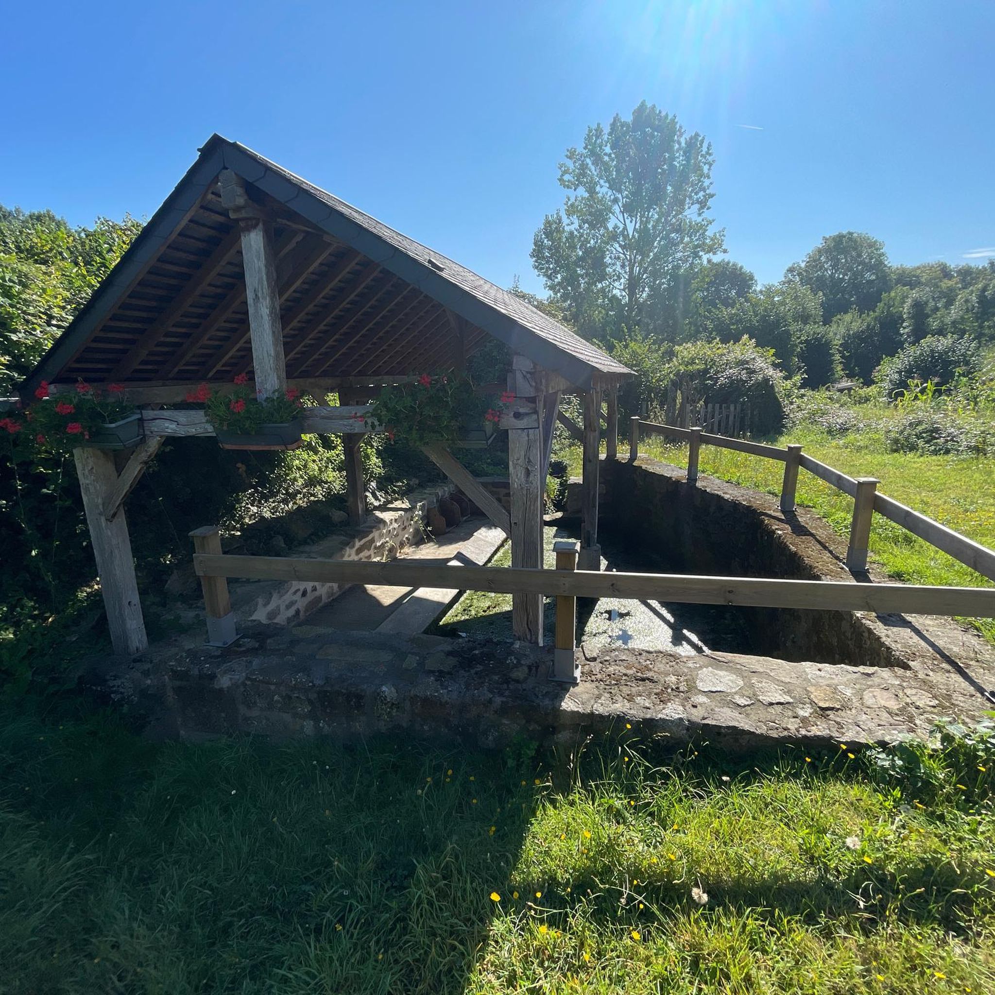
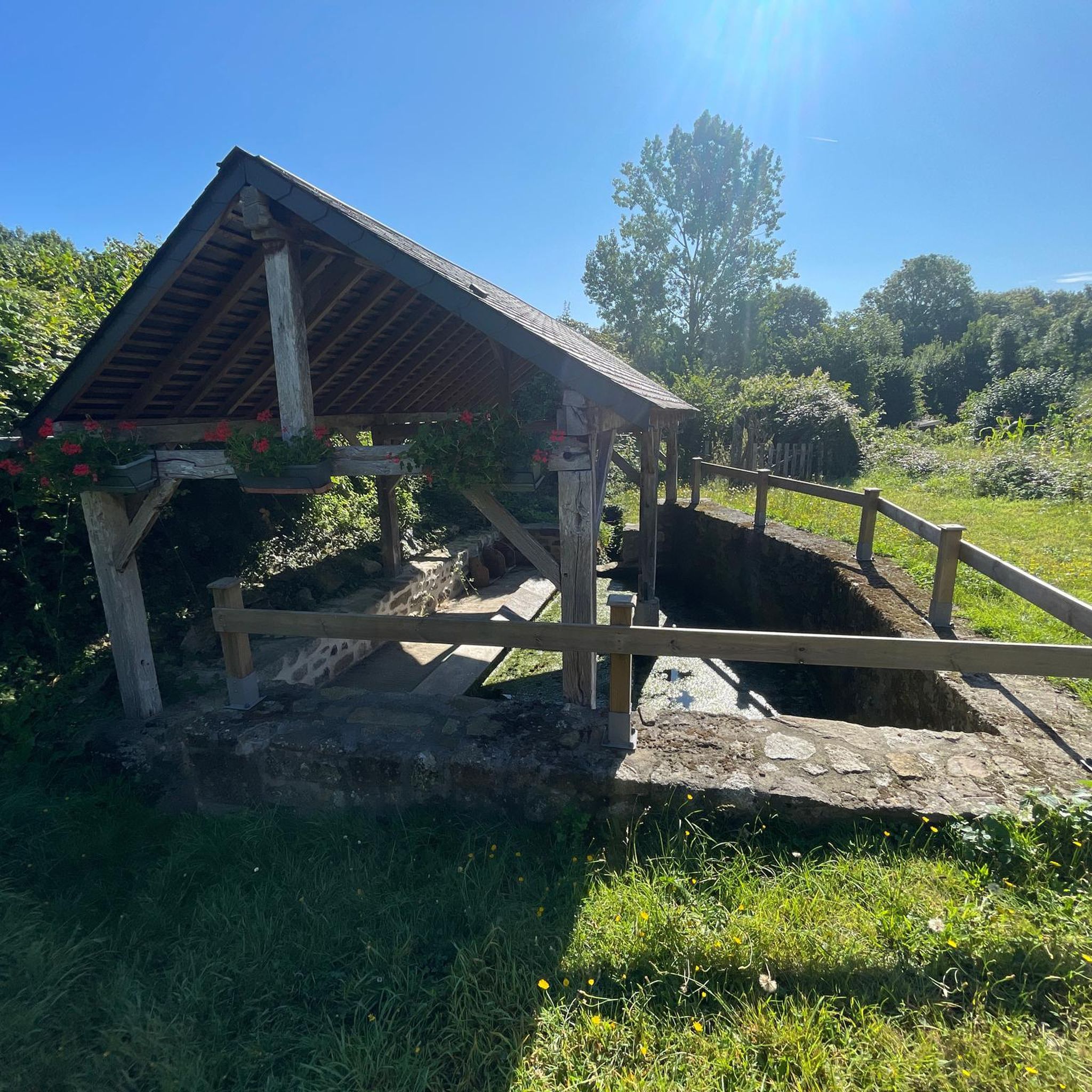
La Roche Mabile is a small village of barely 150 inhabitants, but the landscapes are worth seeing. Stone houses, small paths and hilly landscapes make La Roche Mabile a magnificent passage along the Véloscénie.
1
0

Highest point of the Armorican massif
1
0
Frequently Asked Questions
How many hiking trails are available around La Roche-Mabile?
There are over 50 hiking trails around La Roche-Mabile, offering a variety of experiences through the Normandy-Maine Regional Natural Park. These routes range from easy strolls to more challenging moderate hikes.
Are there easy hikes suitable for beginners or families with children?
Yes, La Roche-Mabile offers 11 easy hiking trails perfect for beginners or families. One excellent option is the Superb panorama loop from La Roche-Mabile, a 3.0-mile (4.7 km) trail that provides expansive views and is generally completed in about 1 hour 24 minutes.
What kind of terrain can I expect on hikes in La Roche-Mabile?
The region is characterized by rolling hills, dense woodlands, and open agricultural areas. You'll find diverse scenery, with elevations generally moderate, and several routes leading to panoramic viewpoints across the landscape.
Are there any circular walks available in the area?
Many of the trails around La Roche-Mabile are circular, allowing you to start and end at the same point. For example, the popular Avaloirs Viewpoint – Wolf's Stone loop from Lalacelle is a 6.4-mile (10.3 km) circular route featuring a prominent viewpoint and a notable rock formation.
What are some notable attractions or landmarks I can see while hiking?
Hikers can discover several interesting points along the trails. You might encounter the historic Carrouges Castle, the unique Carrefour du Chêne au Verdier, or the scenic Mont des Avaloirs viewpoint, which offers expansive views.
Are the hiking trails in La Roche-Mabile dog-friendly?
Generally, dogs are welcome on trails in the Normandy-Maine Regional Natural Park, but it's always best to keep them on a leash, especially when passing through agricultural areas or near wildlife. Always check specific trail regulations if posted.
What do other hikers enjoy most about the trails in La Roche-Mabile?
The trails in La Roche-Mabile are highly rated by the komoot community, with an average score of 4.6 stars from nearly 100 reviews. Hikers often praise the peaceful woodland experiences, the varied terrain, and the rewarding panoramic views.
Are there any hikes that go through dense forests?
Yes, the region is known for its dense woodlands. A great option for a forest experience is the Forêt de Multonne loop from Saint-Denis-sur-Sarthon, a moderate 5.1-mile (8.1 km) path that winds through the extensive Forêt de Multonne.
Can I find routes with good viewpoints in La Roche-Mabile?
Absolutely. Many routes in the area lead to excellent viewpoints. The Avaloirs Viewpoint loop from Lalacelle is a 13.5 km (8.4 mi) moderate hike specifically designed to showcase the stunning vistas from Mont des Avaloirs.
Are there any hikes that pass by historical or cultural sites?
Yes, some trails incorporate historical elements. For instance, the Madame's Cross loop from Les Arcis is a moderate 9.6 km (6.0 mi) route that passes by the notable Madame's Cross, a significant local landmark.
What is the best time of year to go hiking in La Roche-Mabile?
Spring and autumn are generally considered the best times for hiking in La Roche-Mabile, offering pleasant temperatures and beautiful scenery with blooming wildflowers or vibrant fall foliage. Summer can also be enjoyable, though some days might be warmer.
Most popular routes around La Roche-Mabile
Most popular attractions around La Roche-Mabile

Get inspired with the komoot mobile app


Explore more
Browse the best Hikes in other regions.
