The best running trails around Imsweiler
4.5
(76)
1,675
runners
119
runs
Jogging around Imsweiler offers a variety of routes through a landscape characterized by gentle valleys, wooded sections, and rolling hills. The region provides a mix of terrain suitable for different fitness levels, with routes often passing through tranquil natural settings and near local landmarks. Elevation changes are generally moderate, making it accessible for regular running.
Best jogging routes around Imsweiler
- The most popular jogging route is Mühlwald Hut loop from Rockenhausen, a moderate 4.7 miles (7.5 km) trail that…
Last updated: July 5, 2026
5.0
(1)
9
runners
Moderate run. Good fitness required. Mostly paved surfaces. Suitable for all skill levels.
5.0
(1)
8
runners
8.91km
01:02
230m
230m
Moderate run. Good fitness required. Mostly paved surfaces. Suitable for all skill levels.

Sign up for free
8
runners
Easy run. Great for any fitness level. Mostly paved surfaces. Suitable for all skill levels.
6
runners
8.55km
00:57
170m
170m
Moderate run. Good fitness required. Mostly paved surfaces. Suitable for all skill levels.
5.0
(1)
6
runners
6.51km
00:45
170m
170m
Moderate run. Good fitness required. Mostly paved surfaces. Suitable for all skill levels.
Get access to more routes and recommendations from other explorers.
Sign up for free
Already have an account?
Our route recommendations are based on thousands of hikes, rides, and runs completed by other people on komoot.
Start today with a free account
Your next adventure awaits.
Login or Signup
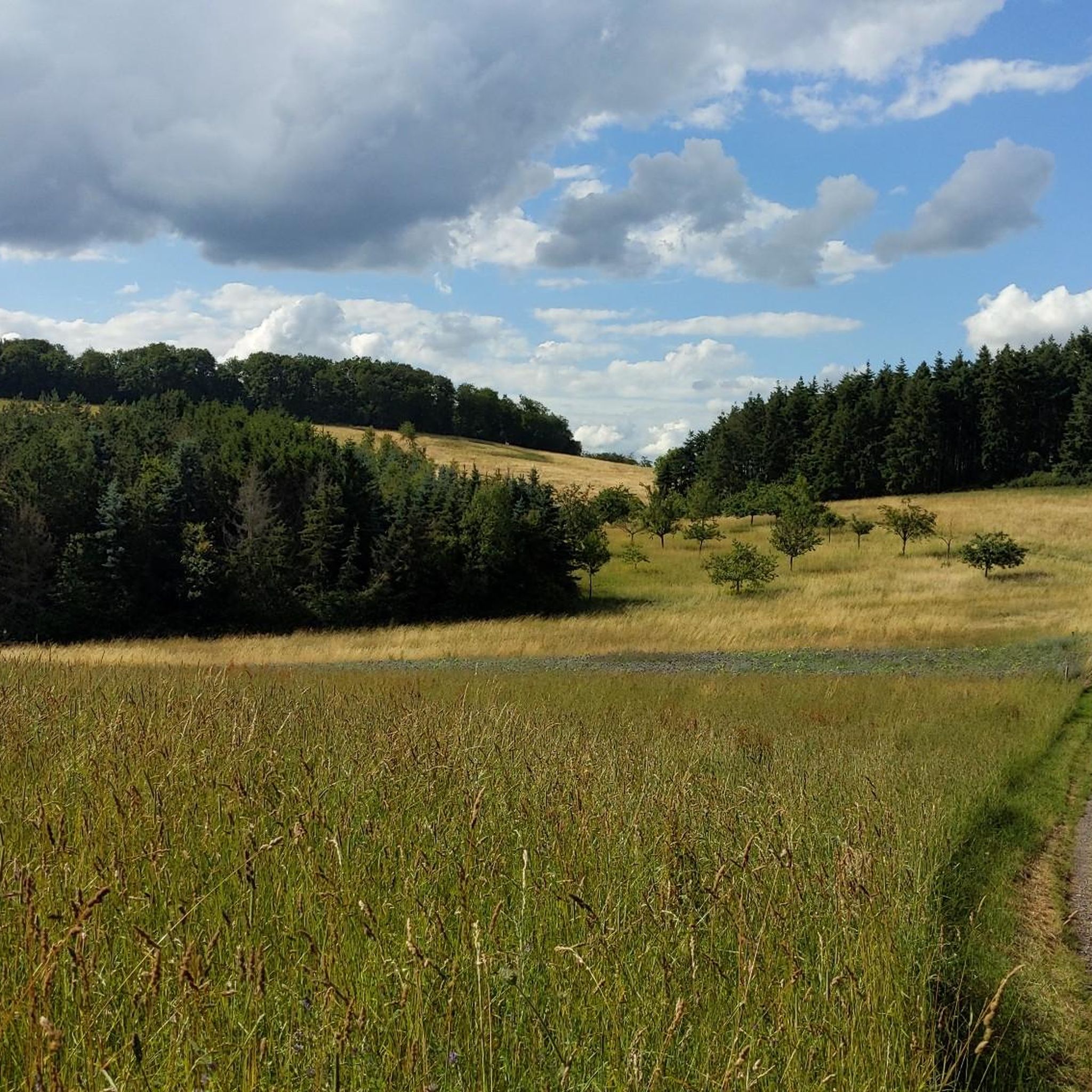
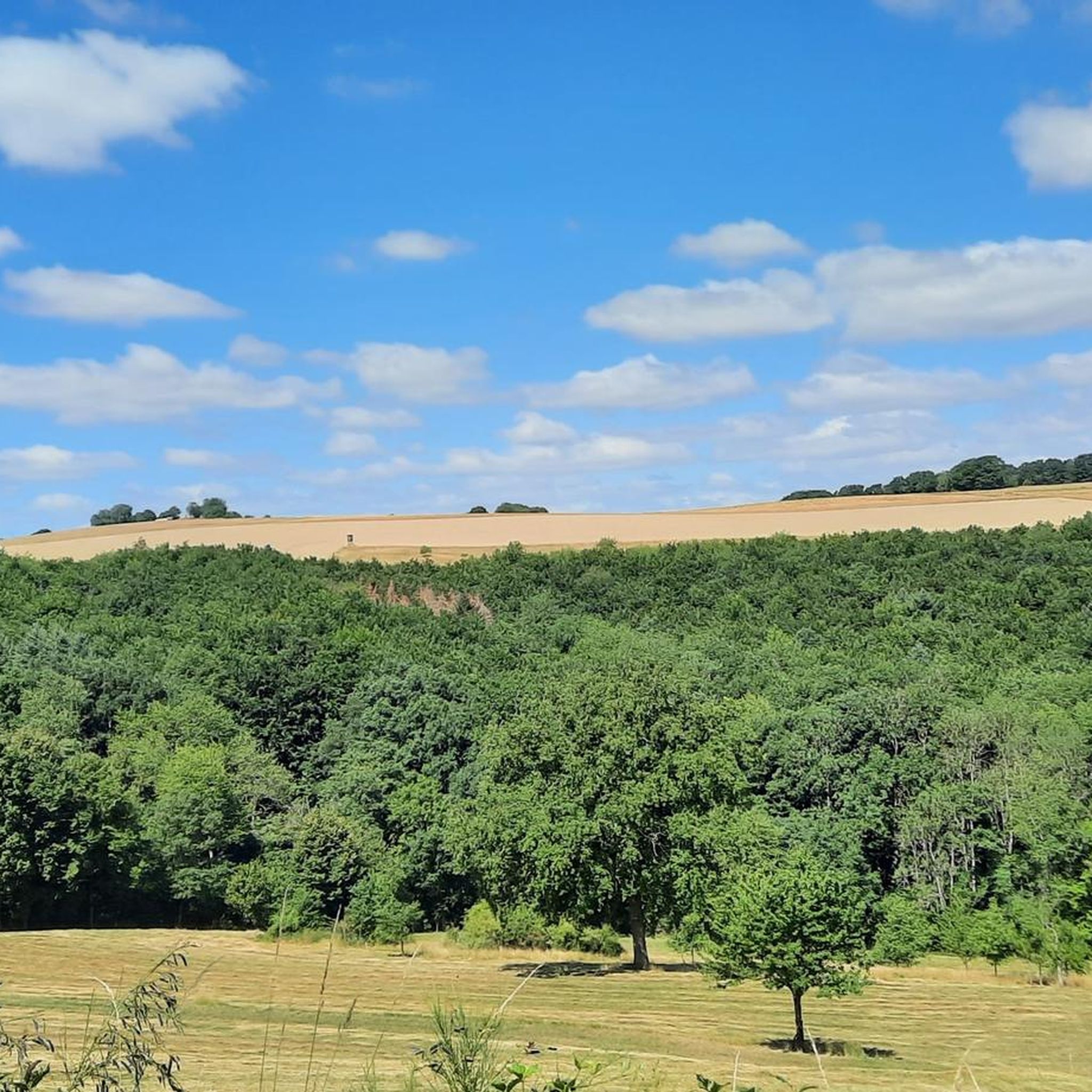
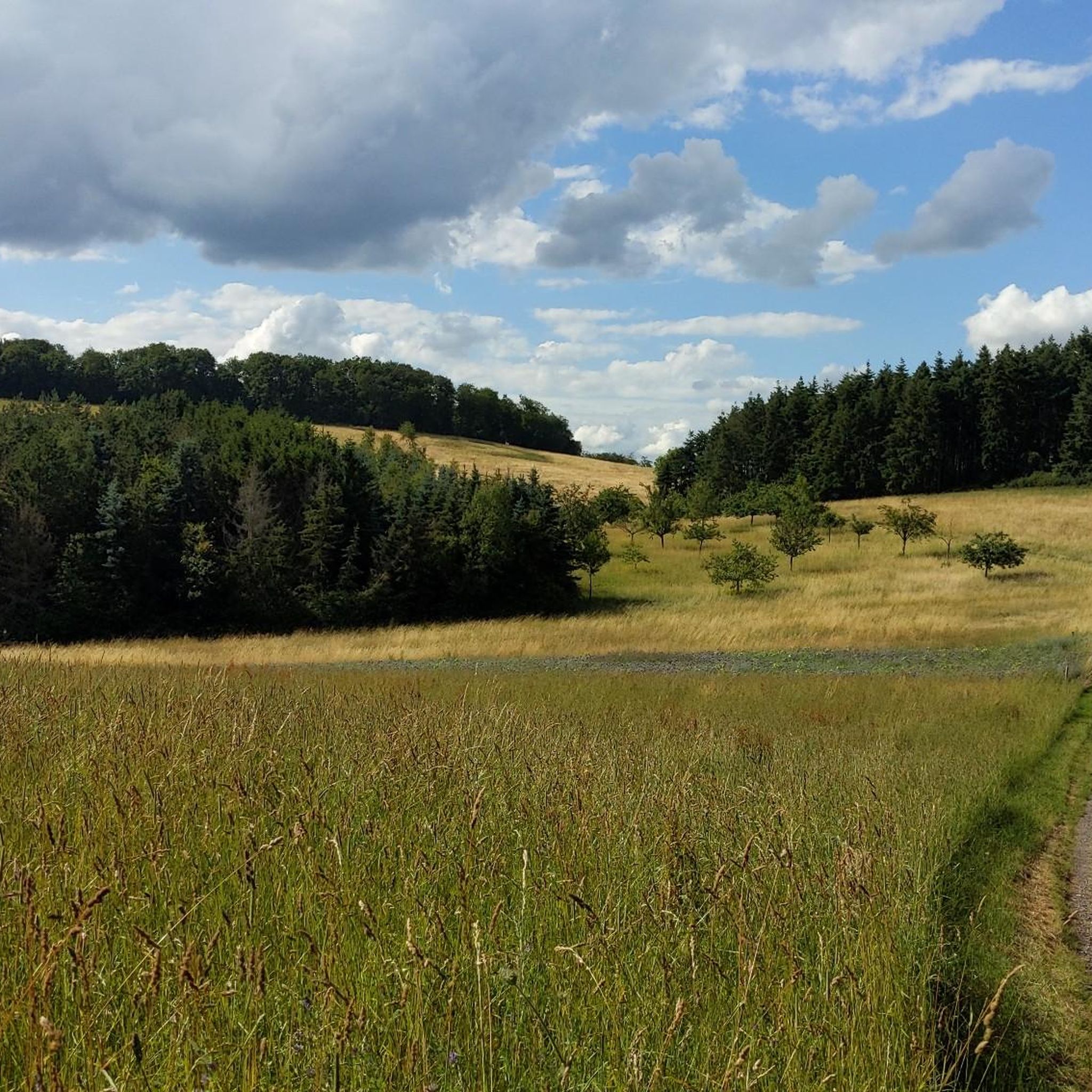
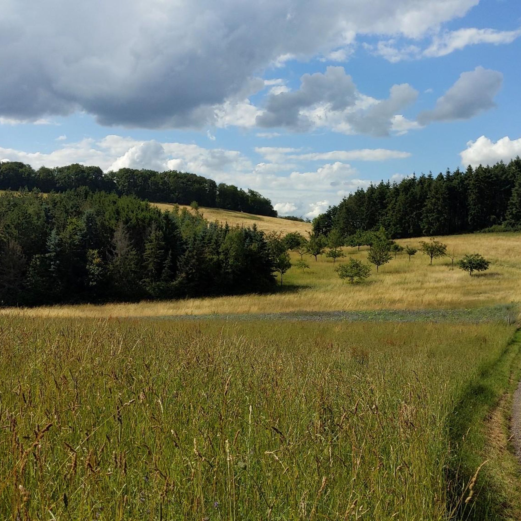

Tips from the Community

Very large cabin with grill
0
0
Good connection and directly on the hiking trail and not far from the old town
0
0


An old Jewish cemetery is located in the area of the Ringstrasse - between the Ringstrasse and the city wall (plots 306, 305). The cemetery was established in the 18th century and expanded in 1842. No gravestones have survived. The cemetery plot can be recognized by the chestnut trees. A new Jewish cemetery was established in 1908/1912 and used until 1939 (plot no. 865/2). The cemetery area covers 5.60 acres (according to other information 6.28 acres).
1
0
Very large barbecue hut with plenty of space and two brick barbecue areas.
2
0
Beautiful orchids (orchidaceae) can also be found here.
1
0
The Rhineland-Palatinate South Local Rail Transport Association awards the "Hiking Station" label to stations and stops where hikers' needs are given special consideration. This includes good connections between the stop and attractive hiking trails, an information board for hikers directly at the stop and the marking of the train stop in the municipality's media (brochures and internet). The "Hiking Station" label thus awards train stops that are ideally suited as starting points for hiking tours. In the Donnersberg district, these are Alsenz, Eisenberg and Rockenhausen. You can reach the Rockenhausen hiking station from Bingen or Kaiserslautern by regional train. From the Rockenhausen hiking station, five well-signposted circular hiking trails open up the adventure region around Rockenhausen to hikers. Three more circular hiking trails will follow by early summer 2018. Their length varies between 11.5 km and around 22 km. There is something for everyone.
2
0
A Foucault pendulum is a spatial pendulum with a large pendulum length and mass, with the help of which the rotation of the earth can be proven without astronomical observations in the sky. Wikipedia
2
0
Frequently Asked Questions
How many running routes are available around Imsweiler?
There are over 120 running routes available around Imsweiler, catering to various fitness levels. You'll find a good mix of easy, moderate, and challenging trails to explore.
Are there easy running routes suitable for beginners in Imsweiler?
Yes, Imsweiler offers several easy running routes perfect for beginners. Out of the more than 120 routes, 15 are specifically rated as easy, providing gentle terrain through the region's valleys and wooded areas.
Are most running routes around Imsweiler circular?
Many of the popular running routes in the Imsweiler area are indeed circular, making them convenient for starting and ending at the same point. For example, the Mühlwald Hut loop from Rockenhausen and the Degenbacher Valley Barbecue Hut loop from Rockenhausen are both excellent circular options.
What do other runners enjoy most about jogging in Imsweiler?
The running trails around Imsweiler are highly rated by the komoot community, with an average score of 4.4 stars from over 60 reviews. Runners often praise the scenic valleys, extensive wooded areas, and accessible rolling hills that define the region's routes.
Are dogs allowed on the running trails around Imsweiler?
Generally, dogs are welcome on the running trails around Imsweiler, especially in the natural, wooded areas. It's always advisable to keep them on a leash, particularly near wildlife or in more populated sections, and to respect local regulations.
Can I reach running trails in Imsweiler by public transport?
While some routes might be accessible via local bus services to Imsweiler or nearby towns like Rockenhausen, many trailheads are best reached by car. It's recommended to check local public transport schedules for specific starting points.
Where can I park when running in Imsweiler?
Parking is typically available at the start of many popular routes or in the nearby towns like Rockenhausen. Look for designated parking areas near trailheads or in village centers, which often provide convenient access to the running network.
What is the best time of year to go running in Imsweiler?
Spring and autumn are generally ideal for running in Imsweiler, offering pleasant temperatures and beautiful scenery as the landscape changes. Summer can also be great, especially in the shaded wooded sections, while winter runs are possible on cleared paths, though some trails might be muddy or icy.
Which running routes offer the best scenic views or viewpoints?
For scenic views, consider routes that traverse the rolling hills or pass by natural monuments. Highlights like the Adlerbogen Viewpoint or the Hirtenfels Viewpoint offer stunning panoramas of the surrounding landscape. You can often find these incorporated into longer running loops.
Are there any interesting landmarks or attractions along the running routes?
Yes, the Imsweiler area is rich in historical and natural landmarks. Along your runs, you might encounter sites like the Iron Gate, or the White Mine — Visitor Mine. The region also features natural monuments such as the Königsstuhl (Donnersberg summit), offering diverse points of interest.
Are there cafes or places to stop for refreshments along the running routes?
While many routes wind through natural areas, some trails pass near or through villages where you might find local cafes or restaurants. The Degenbacher Valley Barbecue Hut loop, for instance, suggests a stop at a barbecue hut, offering a chance for refreshments during or after your run.
Are there family-friendly running trails in Imsweiler?
Yes, Imsweiler offers several routes that are suitable for families, especially those looking for an easier pace or shorter distance. The region's gentle valleys and well-maintained paths provide a safe and enjoyable environment for all ages. Look for routes marked as 'easy' for the best family experience.
Most popular attractions around Imsweiler

Get inspired with the komoot mobile app


Explore more
Browse the best Running Trails & Routes in other regions.
