The best walks and hikes around Saint-Ellier-Les-Bois
4.8
(96)
457
hikers
68
hikes
Hiking around Saint-Ellier-Les-Bois offers diverse landscapes within the Normandy-Maine Regional Natural Park. The area features extensive woodlands, including the Ecouves National Forest and Andaines Forest, providing numerous trails. The terrain includes varied elevations, with the Mont des Avaloirs marking the highest point of the Armorican massif, offering panoramic views. This region provides a tranquil setting for outdoor exploration.
Best hiking trails around Saint-Ellier-Les-Bois
- The most popular hiking route is Carrouges – Carrouges Castle loop from Carrouges, a 7.8 miles…
Last updated: May 12, 2026
4.5
(2)
4
hikers
12.5km
03:23
170m
170m
Moderate hike. Good fitness required. Easily-accessible paths. Suitable for all skill levels.
4.5
(4)
9
hikers
6.35km
01:44
90m
90m
Easy hike. Great for any fitness level. Easily-accessible paths. Suitable for all skill levels.

Sign up for free
4
hikers
4.75km
01:24
140m
140m
Easy hike. Great for any fitness level. Easily-accessible paths. Suitable for all skill levels.
5.0
(1)
6
hikers
11.2km
03:02
150m
150m
Moderate hike. Good fitness required. Easily-accessible paths. Suitable for all skill levels.
5.0
(2)
6
hikers
10.7km
03:04
270m
270m
Moderate hike. Good fitness required. Mostly accessible paths. Sure-footedness required.
Get access to more routes and recommendations from other explorers.
Sign up for free
Already have an account?
Our route recommendations are based on thousands of hikes, rides, and runs completed by other people on komoot.
Start today with a free account
Your next adventure awaits.
Login or Signup
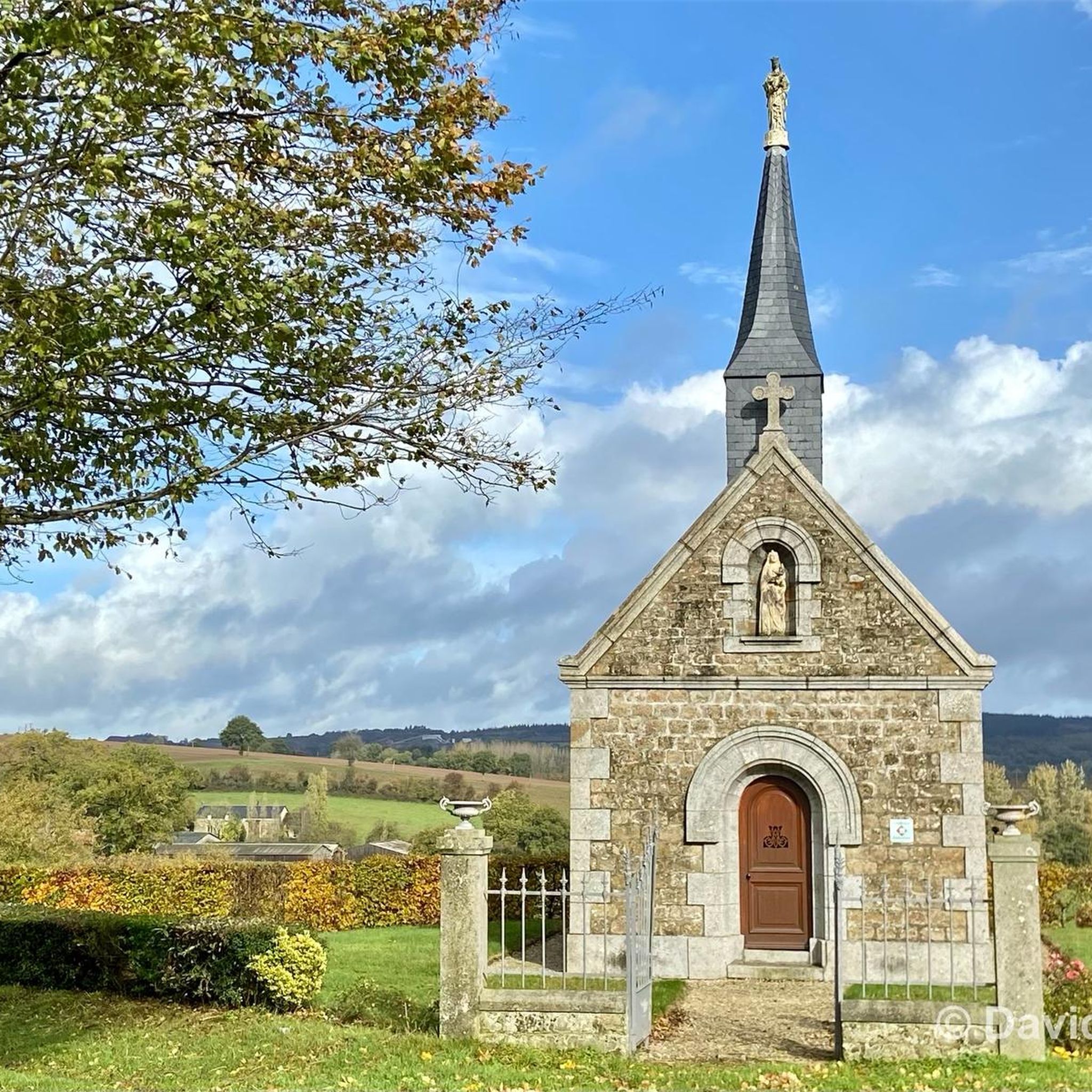

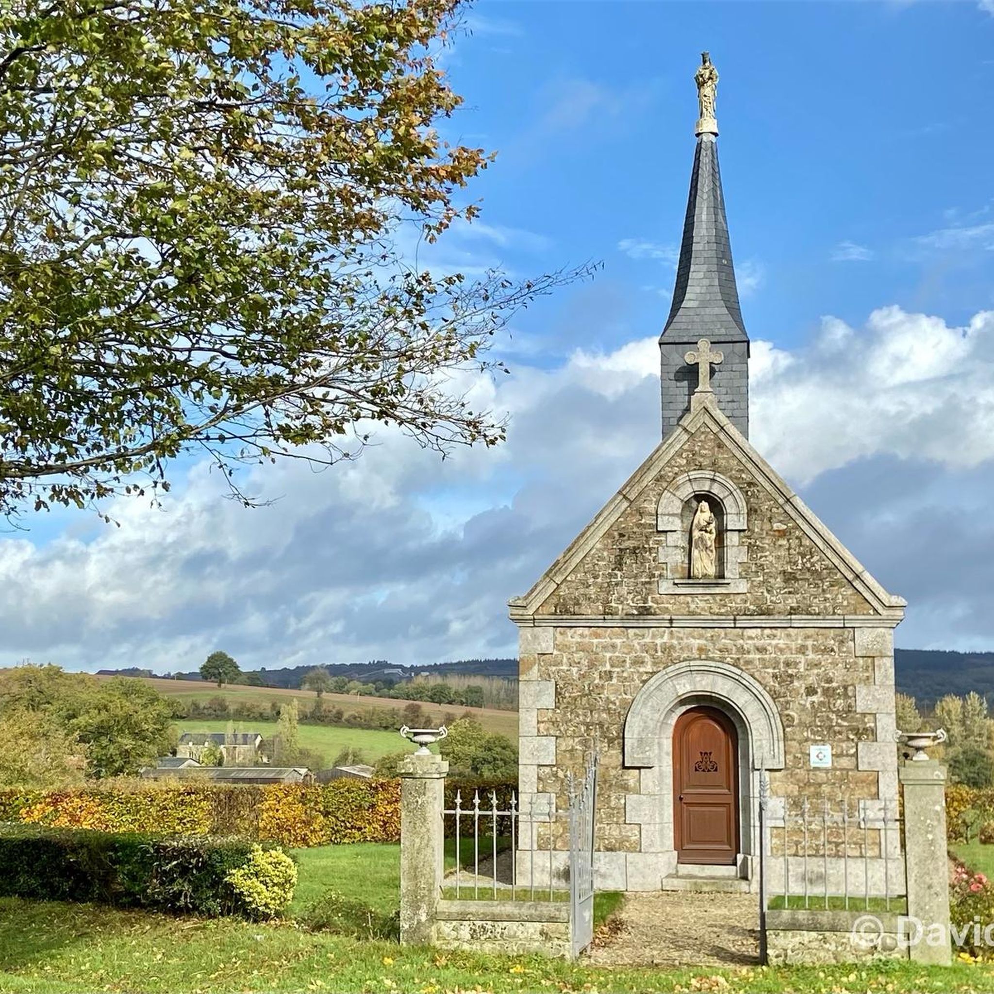


Tips from the Community

At this central location in the forest—where six streets converge to form an open space—the brightly lit small sacred monument rises above a slab and a small stone base. The simply crafted wooden cross (without a body) bearing the name "La Croix Madame" is painted white, forming a radiant centerpiece in the middle of the forest.
0
0

Very beautiful castle. The outside area is very interesting and a nice walk. Unfortunately I didn't see the inside of the castle. The bicycle parking area is behind the archway on the inside on the right.
0
0

The castle is one of the largest in Normandy. It has been a listed building since 1927. From the free car park, a gravel path leads first to a gatehouse, then to the square castle, which is as defensive as it is representative and stands next to the small castle garden and a pasture. Beyond the castle stretches the beech and oak forest of the Forêt d’Ecouves, which is part of the Normandy-Maine Regional Nature Park. Inside, the Château de Carrouges invites you to travel through three centuries. The dining room with its marble fireplace and the bishops’ room with its wood-paneled prayer chamber are particularly beautiful.
1
0

To the north of L'Orée-d'Écouves, this place takes up the name of the town perfectly. Located on the edge of the Écouves forest, on a pretty tree-lined road, it offers superb landscapes over the surrounding countryside.
0
0

A very beautiful castle in a historic city.
0
0
“Each of these crosses can tell its own story and what motivated people to erect“ their ”cross at this point. (...) These crossroads were erected as visible signs and attract the eyes of many people. The cross is a symbol of life. It stands as a sign of our Christian hope and wants to direct our gaze to Jesus Christ, who overcame death (...). The cross is part of our life, just as it was part of the life of Jesus. So I wish that many people ... visit the crossroads, whether as places of silence and breathing before God, whether as places of congregation meeting, prayer and praise of God. " (Text source: Dean Rainald M. Ollig in: "Crosses of the way ... Small sacred monuments as a sign of popular piety")
2
0

Carrouges Castle was built at the end of the 14th century to serve as a stately residence. Over the centuries, the castle has been remodeled and is now managed by the National Monuments Center which restored it. It is possible to visit the castle and its park on a self-guided tour or guided tour.
1
0

On the occasion of the veloscenie, I finished my first day here. You should know that Carrouges is a town located at an altitude of 320 meters, on the northern slope of the signal d'Écouves, the highest peak in Normandy (417 meters). In other words, Carrouges, it must be earned.
1
0
Frequently Asked Questions
How many hiking trails are available around Saint-Ellier-Les-Bois?
There are over 70 hiking trails around Saint-Ellier-Les-Bois, catering to various skill levels. You'll find 18 easy routes, 52 moderate routes, and 1 difficult route, ensuring options for everyone from beginners to experienced hikers.
Are there any easy hiking trails suitable for beginners or families?
Yes, Saint-Ellier-Les-Bois offers 18 easy hiking routes. A great option for families or beginners is the Superb panorama loop from La Roche-Mabile, which is 4.7 km long and offers scenic views. Another easy choice is the CP5 - MAISON M&J BAKERY loop from Carrouges, a 6.2 km route.
What kind of landscapes can I expect to see while hiking in this region?
Hiking around Saint-Ellier-Les-Bois offers diverse landscapes within the Normandy-Maine Regional Natural Park. You'll encounter extensive woodlands, including the majestic Ecouves National Forest and Andaines Forest, rolling hills, and varied terrain. The region is known for its tranquil setting and natural beauty.
Are there any notable landmarks or attractions to see along the hiking trails?
Yes, several trails pass by significant landmarks. You can explore the historic Carrouges Castle, which is part of the Carrouges – Carrouges Castle loop from Carrouges. Within the Ecouves National Forest, you might discover the unique Carrefour du Chêne au Verdier, featuring a sculpted giant sequoia, or Madame's Cross, which is featured on the Madame's Cross loop from Les Arcis.
Where can I find panoramic views in the Saint-Ellier-Les-Bois area?
For breathtaking panoramic views, head to the Mont des Avaloirs viewpoint. This is the highest point of the Armorican massif and offers 360-degree vistas of the surrounding forests and peaks within the Normandy-Maine Regional Natural Park. The Superb panorama loop from La Roche-Mabile also lives up to its name with excellent scenic outlooks.
What do other hikers enjoy most about hiking in Saint-Ellier-Les-Bois?
The area is highly rated by the komoot community, with an average score of 4.7 stars from over 90 reviews. Hikers often praise the diverse landscapes, the tranquility of the Ecouves National Forest, and the variety of trails suitable for different abilities.
Are there any circular hiking routes available?
Yes, many of the trails around Saint-Ellier-Les-Bois are circular, offering convenient starting and ending points. Examples include the Carrouges – Carrouges Castle loop from Carrouges, the Superb panorama loop from La Roche-Mabile, and the Madame's Cross loop from Les Arcis.
Is the Ecouves National Forest accessible for hiking?
Yes, the Ecouves National Forest is a significant natural attraction within the Normandy-Maine Regional Natural Park, offering extensive opportunities for walks and hikes. Trails like the Madame's Cross loop from Les Arcis lead directly through this beautiful woodland.
What is the highest point in the region and can I hike to it?
The highest point in the region is the Mont des Avaloirs, part of the Normandy-Maine Regional Natural Park. While there isn't a specific komoot route listed directly to the summit in this guide, you can certainly find trails that lead to the Mont des Avaloirs viewpoint, offering spectacular views.
Are there any long-distance or more challenging hikes available?
While most routes are easy to moderate, there is one difficult route available. For those seeking longer, moderate challenges, trails like the Carrouges – Carrouges Castle loop from Carrouges (12.5 km) or the Hiking loop from Saint-Didier-sous-Écouves (11.2 km) provide substantial distances and varied terrain.
Can I expect to see wildlife while hiking in Saint-Ellier-Les-Bois?
The forests of the Normandy-Maine Regional Natural Park, including the Ecouves and Andaines Forests, are home to various wildlife. Hikers might encounter local species such as roe deer, especially during quieter times of the day.
Most popular routes around Saint-Ellier-Les-Bois
Most popular attractions around Saint-Ellier-Les-Bois

Get inspired with the komoot mobile app


Explore more
Browse the best Hikes in other regions.
