The best running trails around Eisenberg (Pfalz)
4.9
(16)
203
runners
29
runs
Jogging around Eisenberg (Pfalz) offers access to a diverse landscape within the Palatinate Forest, Germany's largest contiguous forest area. The region is characterized by extensive woodlands, red sandstone formations, and varied elevation profiles. An extensive network of running routes caters to different fitness levels, providing opportunities to explore natural features and historical sites.
Best jogging routes around Eisenberg (Pfalz)
- The most popular jogging route is Ebertsheim Run – Renaturation Area loop from Eisenberg (Pfalz), a 7.3 miles (11.8 km)…
Last updated: October 8, 2026
4.5
(2)
24
runners
12.1km
01:15
60m
60m
Moderate run. Good fitness required. Mostly paved surfaces. Suitable for all skill levels.
4.5
(6)
13
runners
6.36km
00:40
20m
20m
Moderate run. Good fitness required. Mostly paved surfaces. Suitable for all skill levels.

15
runners
14.1km
01:34
220m
220m
Moderate run. Good fitness required. Mostly paved surfaces. Suitable for all skill levels.
5.0
(3)
9
runners
Moderate run. Good fitness required. Mostly paved surfaces. Suitable for all skill levels.
10
runners
8.51km
00:55
100m
100m
Moderate run. Good fitness required. Mostly paved surfaces. Suitable for all skill levels.
Get access to more routes and recommendations from other explorers.
Already have an account?
Our route recommendations are based on thousands of hikes, rides, and runs completed by other people on komoot.
Start today with a free account
Your next adventure awaits.

Tips from the Community


Tafeln informieren über die Eisenverhüttung zu römischer Zeit und die Entwicklung und den Niedergang des Vicus Eisenberg in den ersten 4 Jahrhunderten nach Christus.
0
0

The fountain reads "Water is Life" and below it "Not drinking water" :-D
0
0

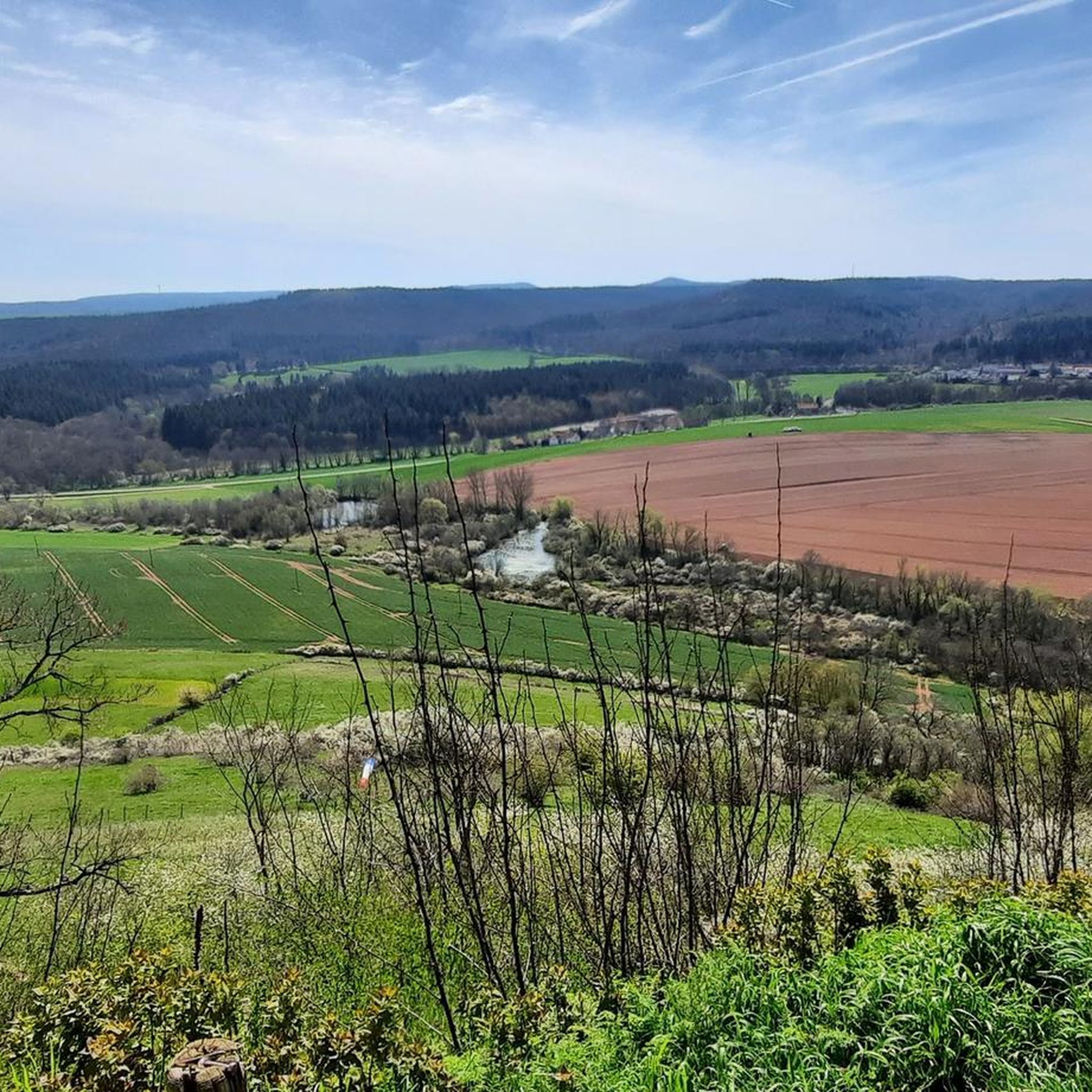
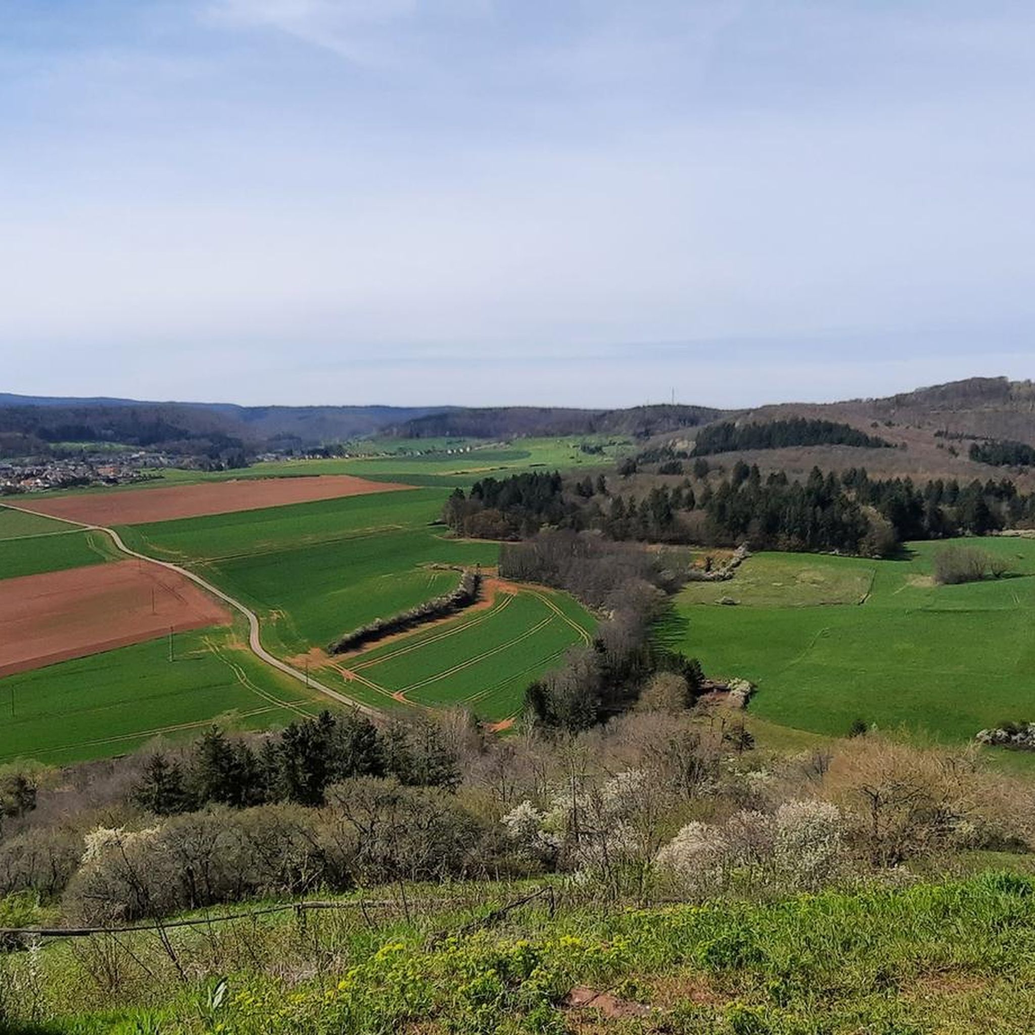
Wonderful, this renatured Eisbach, with many great views.
0
0
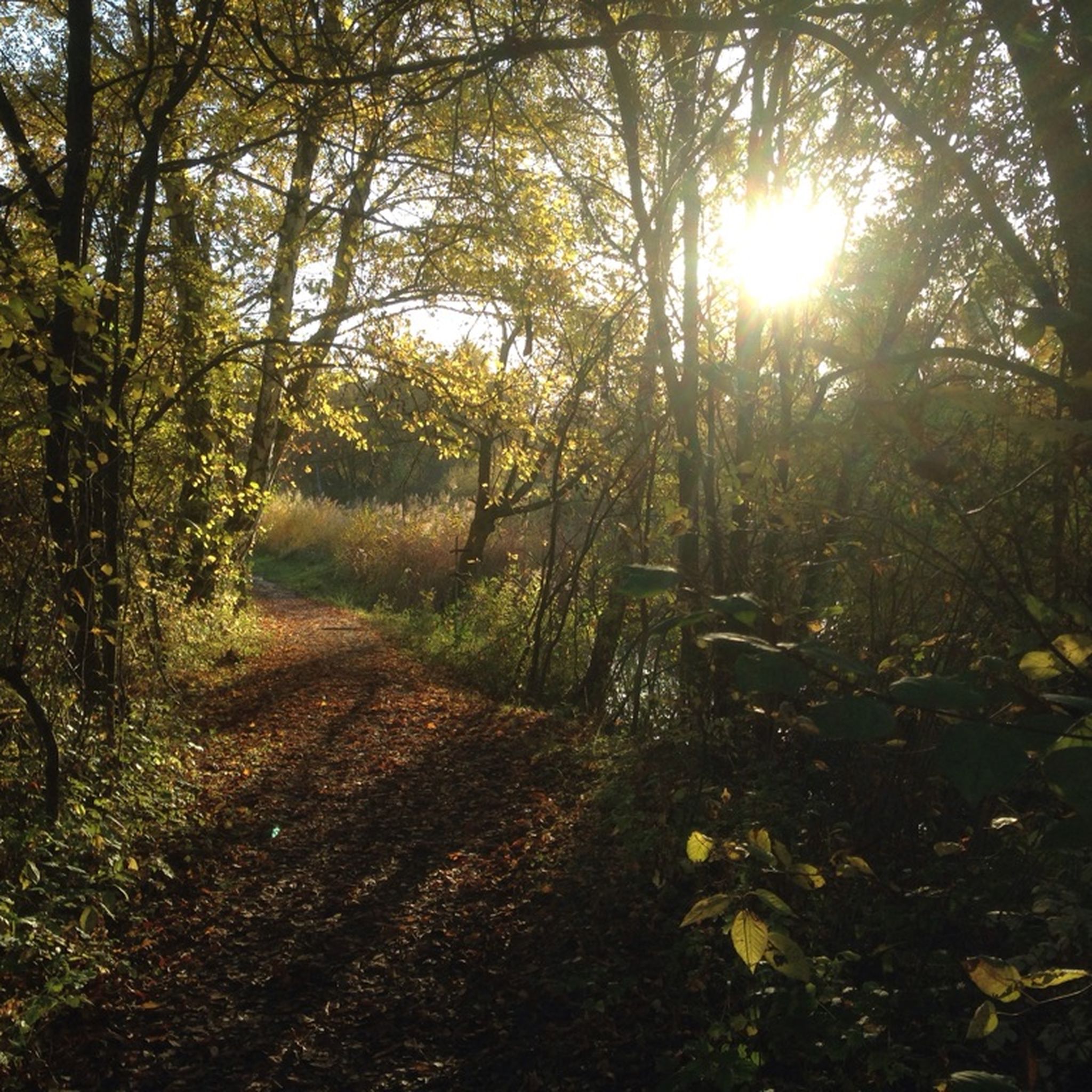
A distinctive tree at a crossroads
0
0

A pleasant resting place in the adjacent shelter.
0
0

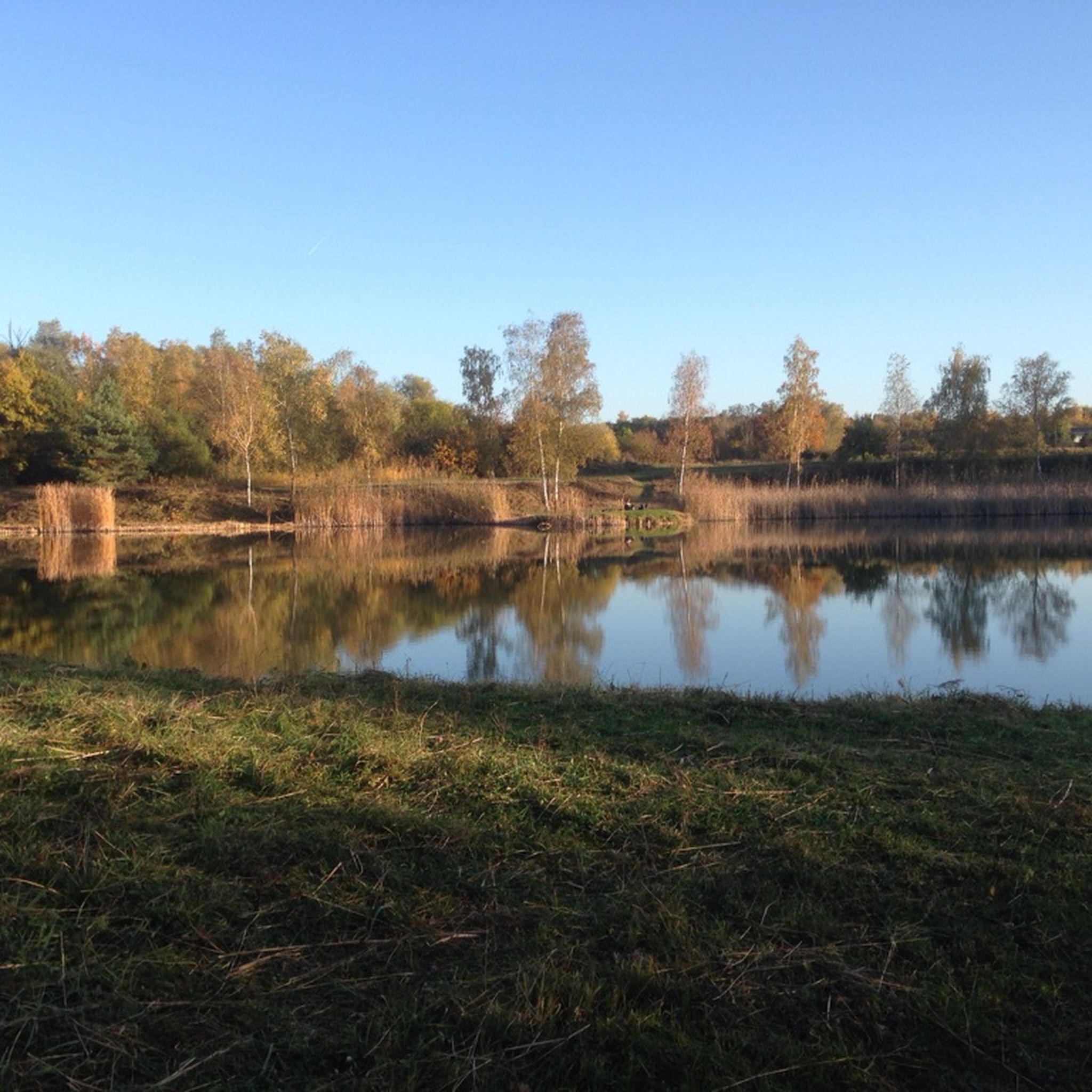
The pond is located very close to the monastery ruins, and you'll inevitably pass by. There's a single shady bench and a table and chairs here. It's a good place for a short rest. We were able to observe Euphemia's aforementioned gander in action. It's best not to get too close.
2
0
The meat dishes here are truly delicious. The chef struggles a bit with salads and vegetarian dishes.
5
0
Frequently Asked Questions
How many running routes are available in Eisenberg (Pfalz)?
Eisenberg (Pfalz) offers an extensive network of over 30 running routes, catering to various fitness levels. These trails are nestled within the beautiful Palatinate Forest, a UNESCO biosphere reserve.
What kind of terrain can I expect on the running trails around Eisenberg (Pfalz)?
The running trails in Eisenberg (Pfalz) feature diverse terrain, primarily within the Palatinate Forest. You'll encounter extensive woodlands, varied elevation profiles, and distinctive red sandstone formations. Some routes also pass by tranquil ponds like the Ungeheuersee and Rosenthaler Weiher.
Are there routes suitable for beginners or those looking for an easy run?
Yes, there are running paths suitable for beginners. While most routes are moderate, there is at least one easy trail available. For example, the Nordic Active Walking Center Eisenberg-Kerzenheim offers a 4 km 'blue' route that is well-suited for an easy jog.
What do other runners say about the trails in Eisenberg (Pfalz)?
The running routes in Eisenberg (Pfalz) are highly rated by the komoot community, with an average score of 4.9 stars from over 10 reviews. More than 200 runners have used komoot to explore the varied terrain, often praising the scenic beauty and well-maintained paths.
Are there any circular running routes in the area?
Many of the running routes around Eisenberg (Pfalz) are designed as loops, offering convenient circular experiences. An example is the Renaturation Area loop from Eisenberg (Pfalz), which is a moderate 7.3 km trail.
Can I bring my dog on the running trails?
Generally, dogs are welcome on trails in the Palatinate Forest, but it's always advisable to keep them on a leash, especially in nature reserves or near wildlife. Always respect local signage and ensure your dog doesn't disturb other users or wildlife.
What natural landmarks or viewpoints can I discover while running?
You can encounter several natural landmarks and viewpoints. The Ungeheuersee, a unique flat bog pond, is a protected natural monument. The Adlerbogen Viewpoint offers expansive vistas over the Zellertal and Worms. You might also pass the idyllic Rosenthaler Weiher, a pleasant resting area.
Are there historical sites I can incorporate into my run?
Yes, the region boasts several historical sites. You can incorporate the Bismarck Tower on Peterskopf into a route, or explore areas near the Klosterruine Rosenthal (Rosenthal Monastery ruins). The Schlosspark and Schlosskirche also offer a heritage-protected garden complex.
Where can I find parking near the running routes?
Many running routes around Eisenberg (Pfalz) have designated parking areas at their starting points, especially those associated with the Nordic Active Walking Center or popular trailheads within the Palatinate Forest. Specific parking information is often available on individual route descriptions.
Is it possible to reach the running trails by public transport?
Eisenberg (Pfalz) has public transport connections, and some trailheads may be accessible via local bus services. For specific routes, it's best to check local transport schedules to plan your journey to the starting points.
What is the best season for running in Eisenberg (Pfalz)?
The Palatinate Forest offers beautiful scenery year-round. Spring and autumn provide pleasant temperatures and vibrant colors, making them ideal for running. Summer can be warm but the forest offers shade, while winter runs can be magical, though some trails might be slippery or covered in snow.
Are there any longer, more challenging running routes for experienced runners?
Yes, for experienced runners seeking a challenge, there are several difficult routes. One such option is the Eistal Cycle and Hiking Path – Asselheim Wine Hikers' Hut loop from Eisenberg (Pfalz), an 18.1 km path with significant elevation gain.
Can I find places to stop for refreshments along the routes?
Some running routes, particularly those passing through or near villages or popular spots like the Rosenthaler Weiher, may offer opportunities for refreshments. The Lindemannsruhe Forest Inn is an example of a hut that could be near some trails.
Most popular routes around Eisenberg (Pfalz)
Most popular attractions around Eisenberg (Pfalz)

Get inspired with the komoot mobile app


Explore more
Browse the best Running Trails & Routes in other regions.
